|
Overton, Greenock
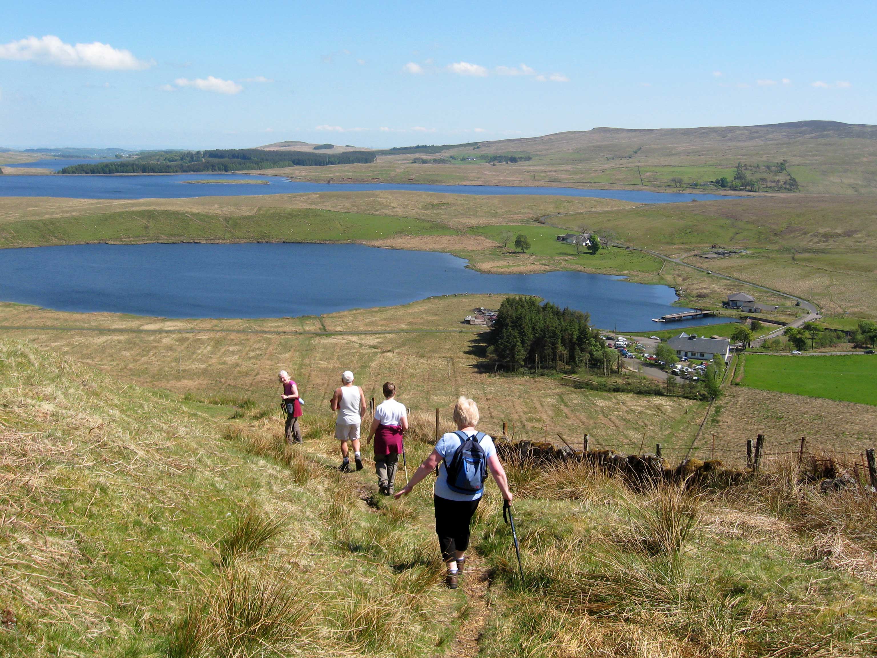
Overton is an area in the suburbs of Greenock, Inverclyde. Overton offers excellent views across the River Clyde and suburban Greenock Greenock (; sco, Greenock; gd, Grianaig, ) is a town and administrative centre in the Inverclyde council areas of Scotland, council area in Scotland, United Kingdom and a former burgh of barony, burgh within the Counties of Scotland, historic .... The area is the closest in Greenock to "The Cut", which was completed in 1827, bringing a water supply from Loch Thom to Overton. The Shaws Water Works provided power to mills down the hill slope from Overton as well as the water supply for the town of Greenock. The nearly horizontal pathway beside the cut soon became a popular walk, offering views of the town and surrounding scenery. An alternative track goes over the hill from Overton to Loch Thom and is more challenging. References Neighbourhoods of Inverclyde Greenock {{Inverclyde-geo-stub ... [...More Info...] [...Related Items...] OR: [Wikipedia] [Google] [Baidu] |
Greenock Cut 011006 At Overton
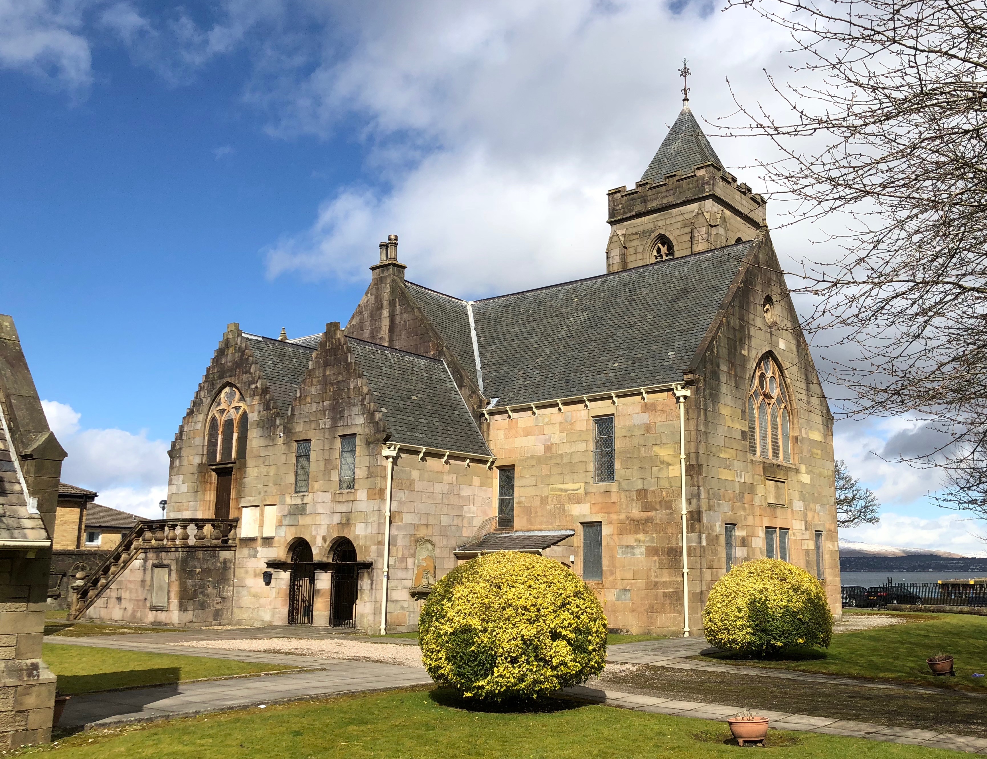
Greenock (; sco, Greenock; gd, Grianaig, ) is a town and administrative centre in the Inverclyde council area in Scotland, United Kingdom and a former burgh within the historic county of Renfrewshire, located in the west central Lowlands of Scotland. It forms part of a contiguous urban area with Gourock to the west and Port Glasgow to the east. The 2011 UK Census showed that Greenock had a population of 44,248, a decrease from the 46,861 recorded in the 2001 UK Census. It lies on the south bank of the Clyde at the "Tail of the Bank" where the River Clyde deepens into the Firth of Clyde. History Name Place-name scholar William J. Watson wrote that "Greenock is well known in Gaelic as Grianáig, dative of grianág, a sunny knoll". The Scottish Gaelic place-name ''Grianaig'' is relatively common, with another (Greenock) near Callander in Menteith (formerly in Perthshire) and yet another at Muirkirk in Kyle, now in East Ayrshire. R. M. Smith in (1921) described the alternat ... [...More Info...] [...Related Items...] OR: [Wikipedia] [Google] [Baidu] |
Greenock
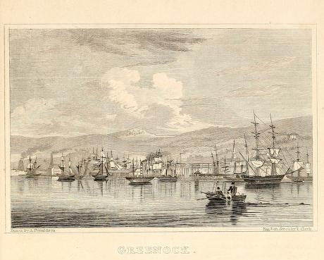
Greenock (; sco, Greenock; gd, Grianaig, ) is a town and administrative centre in the Inverclyde council areas of Scotland, council area in Scotland, United Kingdom and a former burgh of barony, burgh within the Counties of Scotland, historic county of Renfrewshire (historic), Renfrewshire, located in the west central Lowlands of Scotland. It forms part of a contiguous urban area with Gourock to the west and Port Glasgow to the east. The United Kingdom Census 2011, 2011 UK Census showed that Greenock had a population of 44,248, a decrease from the 46,861 recorded in the United Kingdom Census 2001, 2001 UK Census. It lies on the south bank of the Clyde at the "Tail of the Bank" where the River Clyde deepens into the Firth of Clyde. History Name Place-name scholar William J. Watson wrote that "Greenock is well known in Gaelic as Grianáig, dative of grianág, a sunny knoll". The Scottish Gaelic place-name ''Grianaig'' is relatively common, with another (Greenock) near Calla ... [...More Info...] [...Related Items...] OR: [Wikipedia] [Google] [Baidu] |
Inverclyde
Inverclyde ( sco, Inerclyde, gd, Inbhir Chluaidh, , "mouth of the Clyde") is one of 32 council areas used for local government in Scotland. Together with the East Renfrewshire and Renfrewshire council areas, Inverclyde forms part of the historic county of Renfrewshire, which currently exists as a registration county and lieutenancy area – located in the west central Lowlands. It borders the North Ayrshire and Renfrewshire council areas, and is otherwise surrounded by the Firth of Clyde. Inverclyde was formerly one of nineteen districts within Strathclyde Region, from 1975 until 1996. Prior to 1975, Inverclyde was governed as part of the local government county of Renfrewshire, comprising the burghs of Greenock, Port Glasgow and Gourock, and the former fifth district of the county. Its landward area is bordered by the Kelly, North and South Routen burns to the southwest (separating Wemyss Bay and Skelmorlie, North Ayrshire), part of the River Gryfe and the Finlaystone Burn to ... [...More Info...] [...Related Items...] OR: [Wikipedia] [Google] [Baidu] |
Loch Thom
Loch Thom is a reservoir which since 1827 has provided a water supply to the town of Greenock in Inverclyde, Scotland. It is named after the civil engineer Robert Thom who designed the scheme which created the reservoir and delivered water via a long aqueduct known as ''The Cut''. Today, as well as providing a water supply, the loch is used for sport fishing and forms part of the Clyde Muirshiel Regional Park with several attractive walks and a centre at Cornalees Bridge providing nature study facilities. The loch is about 2.4 km from north to south, curving to the east in a rough C-shape, and is at an elevation of about 195 m above sea level. From the northern arm an outlet feeds southwest a short distance to a compensation reservoir at the centre of the "C", which then connects at Cornalees Bridge to the start of ''The Cut''. History In the late 18th century Greenock was a rapidly expanding seaport with industries developing as the industrial revolution gathered pace ... [...More Info...] [...Related Items...] OR: [Wikipedia] [Google] [Baidu] |
Neighbourhoods Of Inverclyde
A neighbourhood (British English, Irish English, Australian English and Canadian English) or neighborhood (American English; see spelling differences) is a geographically localised community within a larger city, town, suburb or rural area, sometimes consisting of a single street and the buildings lining it. Neighbourhoods are often social communities with considerable face-to-face interaction among members. Researchers have not agreed on an exact definition, but the following may serve as a starting point: "Neighbourhood is generally defined spatially as a specific geographic area and functionally as a set of social networks. Neighbourhoods, then, are the spatial units in which face-to-face social interactions occur—the personal settings and situations where residents seek to realise common values, socialise youth, and maintain effective social control." Preindustrial cities In the words of the urban scholar Lewis Mumford, "Neighbourhoods, in some annoying, inchoate fashi ... [...More Info...] [...Related Items...] OR: [Wikipedia] [Google] [Baidu] |


