|
Oregon Route 273
Oregon Route 273 is an Oregon state highway running from OR 66 near Ashland to Interstate 5 near the California state line. OR 273 is known as the Siskiyou Highway No. 273 (see Oregon highways and routes). It is long and runs north–south parallel of I-5, entirely within Jackson County. OR 273 was established in 2003 as part of Oregon's project to assign route numbers to highways that previously were not assigned. Route description OR 273 begins at an intersection with OR 66 approximately four miles southeast of Ashland and heads south, intersecting with I-5 at I-5 Exit 6 and continuing to I-5 Exit 1, where it ends. History OR 273 is an old section of US 99. OR 273 was assigned to the Siskiyou Highway in 2003. Major intersections References * Oregon Department of Transportation, Descriptions of US and Oregon Routes, https://web.archive.org/web/20051102084300/http://www.oregon.gov/ODOT/HWY/TRAFFIC/TEOS_Publications/PDF/Descriptions_of_US_and_Oregon_Routes.p ... [...More Info...] [...Related Items...] OR: [Wikipedia] [Google] [Baidu] |
Ashland, Oregon
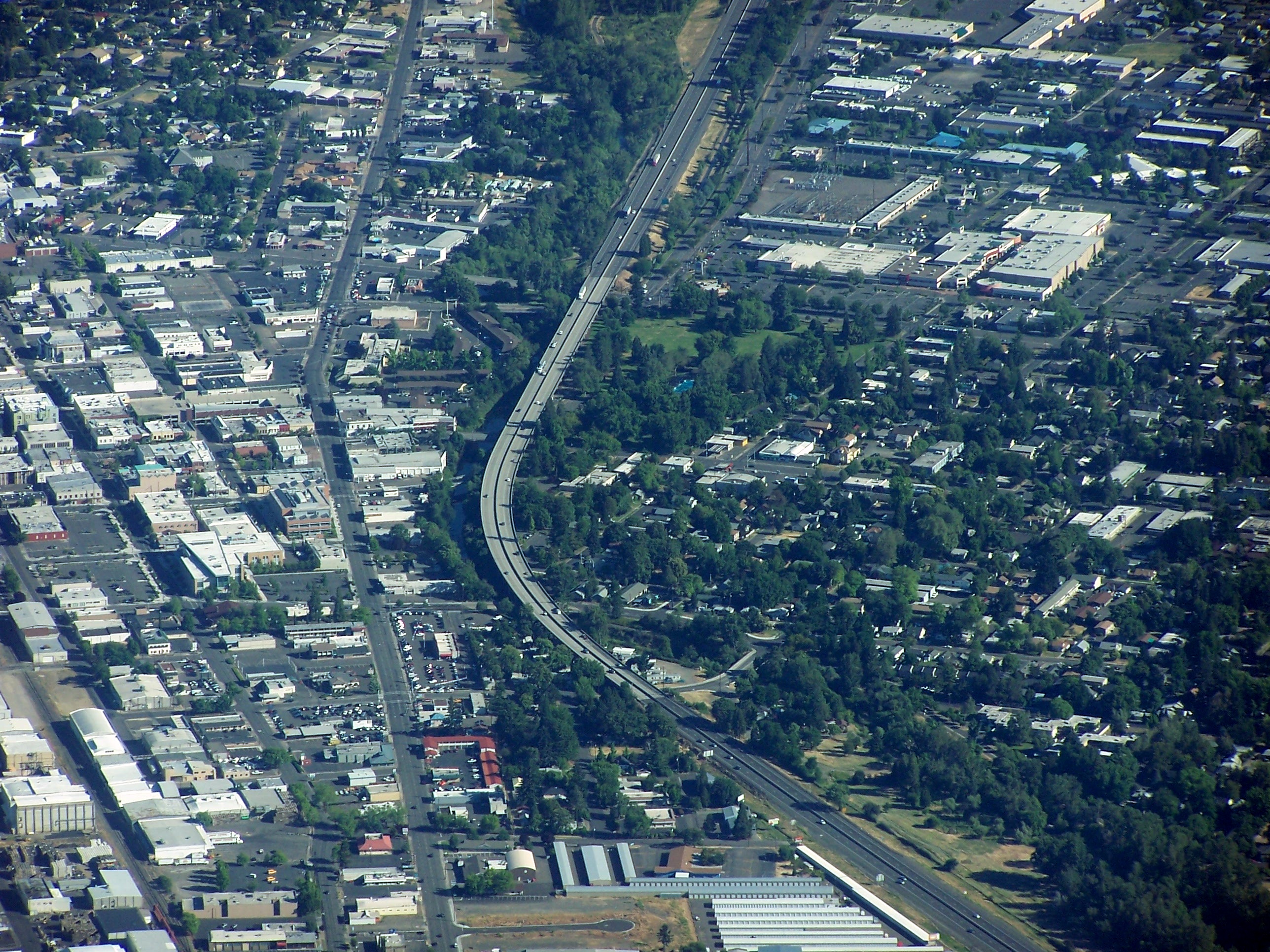
Ashland is a city in Jackson County, Oregon, United States. It lies along Interstate 5 approximately 16 miles (26 km) north of the California border and near the south end of the Rogue Valley. The city's population was 21,360 at the 2020 census. The city is the home of Southern Oregon University (SOU) and the Oregon Shakespeare Festival (OSF). These are important to Ashland's economy, which also depends on restaurants, galleries, and retail stores that cater to tourists. Lithia Park along Ashland Creek, historic buildings, and a paved intercity bike trail provide additional visitor attractions. Ashland, originally called "Ashland Mills", was named after Ashland County, Ohio, the original home of founder Abel Helman, and secondarily for Ashland, Kentucky, where other founders had family connections. Ashland has a council-manager government assisted by citizen committees. Historically, its liberal politics have differed, often sharply, with much of the rest of southwest O ... [...More Info...] [...Related Items...] OR: [Wikipedia] [Google] [Baidu] |
Oregon
Oregon () is a state in the Pacific Northwest region of the Western United States. The Columbia River delineates much of Oregon's northern boundary with Washington, while the Snake River delineates much of its eastern boundary with Idaho. The 42° north parallel delineates the southern boundary with California and Nevada. Oregon has been home to many indigenous nations for thousands of years. The first European traders, explorers, and settlers began exploring what is now Oregon's Pacific coast in the early-mid 16th century. As early as 1564, the Spanish began sending vessels northeast from the Philippines, riding the Kuroshio Current in a sweeping circular route across the northern part of the Pacific. In 1592, Juan de Fuca undertook detailed mapping and studies of ocean currents in the Pacific Northwest, including the Oregon coast as well as the strait now bearing his name. Spanish ships – 250 in as many years – would typically not land before reaching Cape Mendoci ... [...More Info...] [...Related Items...] OR: [Wikipedia] [Google] [Baidu] |
State Highway
A state highway, state road, or state route (and the equivalent provincial highway, provincial road, or provincial route) is usually a road that is either ''numbered'' or ''maintained'' by a sub-national state or province. A road numbered by a state or province falls below numbered national highways (Canada being a notable exception to this rule) in the hierarchy (route numbers are used to aid navigation, and may or may not indicate ownership or maintenance). Roads maintained by a state or province include both nationally numbered highways and un-numbered state highways. Depending on the state, "state highway" may be used for one meaning and "state road" or "state route" for the other. In some countries such as New Zealand, the word "state" is used in its sense of a sovereign state or country. By this meaning a state highway is a road maintained and numbered by the national government rather than local authorities. Countries Australia Australia's State Route system covers u ... [...More Info...] [...Related Items...] OR: [Wikipedia] [Google] [Baidu] |
Oregon Route 66
Oregon Route 66 is an Oregon state highway that runs between the cities of Ashland and Klamath Falls. The highway is known as the Green Springs Highway No. 21 (see Oregon highways and routes), and is signed east-to-west. Route description Oregon Route 66 begins (at its western terminus) at an intersection with Oregon Route 99 just east of downtown Ashland. The highway heads northeast, crosses and intersects with Interstate 5, and continues east along the northern edge of the Siskiyou Mountains. Before ascending into the mountains, it passes alongside Emigrant Reservoir. Six miles east of Ashland, the highway intersects with Oregon Route 273, near the Klamath Falls Junction. The highway then passes over the mountains. The highway ends at an interchange with U.S. Route 97 in Klamath Falls; just west of this interchange the highway intersects and briefly overlaps Oregon Route 140. OR 140 continues east of the US 97 interchange, past the Klamath Falls airport, and event ... [...More Info...] [...Related Items...] OR: [Wikipedia] [Google] [Baidu] |
Interstate 5 In Oregon
Interstate 5 (I-5) in the U.S. state of Oregon is a major Interstate Highway that traverses the state from north to south. It travels to the west of the Cascade Mountains, connecting Portland to Salem, Eugene, Medford, and other major cities in the Willamette Valley and across the northern Siskiyou Mountains. The highway runs from the California state line near Ashland to the Washington state line in northern Portland, forming the central part of Interstate 5's route between Mexico and Canada. I-5 was designated in 1957 and replaced U.S. Route 99 (US 99) for most of its length, itself preceded by the Pacific Highway and various wagon roads. The freeway incorporated early bypasses and expressways built for US 99 in the 1950s, including a new freeway route from Portland to Salem, and additional bypasses were built using federal funds. The last segment of I-5, on the Marquam Bridge in Portland, was opened in October 1966 and the whole highway was dedicated la ... [...More Info...] [...Related Items...] OR: [Wikipedia] [Google] [Baidu] |
California
California is a state in the Western United States, located along the Pacific Coast. With nearly 39.2million residents across a total area of approximately , it is the most populous U.S. state and the 3rd largest by area. It is also the most populated subnational entity in North America and the 34th most populous in the world. The Greater Los Angeles area and the San Francisco Bay Area are the nation's second and fifth most populous urban regions respectively, with the former having more than 18.7million residents and the latter having over 9.6million. Sacramento is the state's capital, while Los Angeles is the most populous city in the state and the second most populous city in the country. San Francisco is the second most densely populated major city in the country. Los Angeles County is the country's most populous, while San Bernardino County is the largest county by area in the country. California borders Oregon to the north, Nevada and Arizona to the east, t ... [...More Info...] [...Related Items...] OR: [Wikipedia] [Google] [Baidu] |
Oregon Highways And Routes
The state highway system of the U.S. state of Oregon is a network of highways that are owned and maintained by the Highway Division of the Oregon Department of Transportation (ODOT). Highways and routes The state highway system consists of about of state highways, that is, roadways owned and maintained by ODOT. When minor connections and frontage roads are removed, that number drops to approximately or around 9% of the total road mileage in the state. Oregon's portion of the Interstate Highway System totals .Oregon Department of Transportation, ww.oregon.gov/ODOT/Data/Documents/OMR_2006.pdf 2006 Oregon Mileage Report July 2007 Transfers of highways between the state and county or local maintenance require the approval of the Oregon Transportation Commission (OTC), a five-member governor-appointed authority that meets monthly. These transfers often result in discontinuous highways, where a local government maintains part or all of a main road within its boundaries.Oregon Dep ... [...More Info...] [...Related Items...] OR: [Wikipedia] [Google] [Baidu] |
Jackson County, Oregon
Jackson County is one of the 36 counties in the U.S. state of Oregon. As of the 2020 census, the population was 223,259. The county seat is Medford. The county is named for Andrew Jackson, the seventh president of the United States. Jackson County comprises the Medford, OR Metropolitan Statistical Area. There are 11 incorporated cities and 34 unincorporated communities in Jackson County; the largest is Medford, which has been the county seat since 1927. History Modoc, Shasta, Takelma, Latgawa, and Umpqua Indian tribes are all native to the region of present Jackson County. Prior to the 1850s, the Klickitats from the north raided the area. The ''Territorial Legislature'' created Jackson County on January 12, 1852, from the southwestern portion of Lane County and the unorganized area south of Douglas and Umpqua Counties. It included lands which now lie in Coos, Curry, Josephine, Klamath and Lake Counties. Gold discoveries in the Illinois River valley and the Rogue ... [...More Info...] [...Related Items...] OR: [Wikipedia] [Google] [Baidu] |
State Highways In Oregon
The state highway system of the U.S. state of Oregon is a network of highways that are owned and maintained by the Highway Division of the Oregon Department of Transportation (ODOT). Highways and routes The state highway system consists of about of state highways, that is, roadways owned and maintained by ODOT. When minor connections and frontage roads are removed, that number drops to approximately or around 9% of the total road mileage in the state. Oregon's portion of the Interstate Highway System totals .Oregon Department of Transportation, ww.oregon.gov/ODOT/Data/Documents/OMR_2006.pdf 2006 Oregon Mileage Report July 2007 Transfers of highways between the state and county or local maintenance require the approval of the Oregon Transportation Commission (OTC), a five-member governor-appointed authority that meets monthly. These transfers often result in discontinuous highways, where a local government maintains part or all of a main road within its boundaries.Oregon Dep ... [...More Info...] [...Related Items...] OR: [Wikipedia] [Google] [Baidu] |
Oregon Department Of Transportation
The Oregon Department of Transportation (ODOT) is a department of the state government of the U.S. state of Oregon responsible for systems of transportation. It was first established in 1969. It had been preceded by the Oregon State Highway Department which, along with the Oregon State Highway Commission, was created by an act of the Oregon Legislative Assembly in 1913. It works closely with the five-member Oregon Transportation Commission (the modern name of the Highway Commission) in managing the state's transportation systems. The Oregon Transportation Commission, formerly the Oregon State Highway Commission, is a five-member governor-appointed government agency that manages the state highways and other transportation in the U.S. state of Oregon, in conjunction with the Oregon Department of Transportation. Inception The first State Highway Commission was created on August 12, 1913, and was composed of Governor Oswald West, Secretary of State Ben W. Olcott and Treasurer Th ... [...More Info...] [...Related Items...] OR: [Wikipedia] [Google] [Baidu] |
Cascade–Siskiyou National Monument
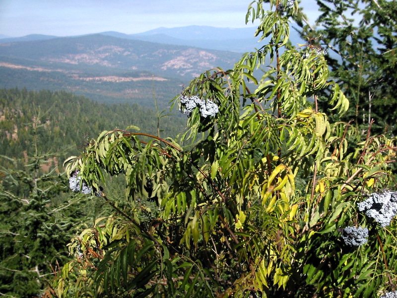
The Cascade–Siskiyou National Monument is a United States national monument that protects of forest and grasslands at the junction of the Cascade Range and the Siskiyou Mountains in Southwestern Oregon and Northwestern California, United States. The monument is managed by the Bureau of Land Management as part of the National Landscape Conservation System. It was established in a presidential proclamation by President Bill Clinton on June 9, 2000 and expanded by President Barack Obama on January 12, 2017. History Native Americans are known from archaeological excavations to have inhabited the region for thousands of years. Nearly 100 dwelling and root-gathering sites belonging to the Modoc, Klamath, and Shasta tribes have been uncovered to date. By the 1880s, their lands were taken by white settlers, whose mining cabins still dot the region. [...More Info...] [...Related Items...] OR: [Wikipedia] [Google] [Baidu] |
Yreka, California
Yreka ( ) is the county seat of Siskiyou County, California, United States, near the Shasta River; the city has an area of about , most of it land. As of the 2020 United States Census, the population was 7,807, reflecting a meager increase from 7,765 counted in the 2010 Census. Yreka is home to the College of the Siskiyous, Klamath National Forest Interpretive Museum and the Siskiyou County Museum. History In March 1851, Abraham Thompson, a mule train packer, discovered gold near Rocky Gulch while traveling along the Siskiyou Trail from southern Oregon. By April 1851, 2,000 miners had arrived in "Thompson's Dry Diggings" to test their luck, and by June 1851, a gold rush "boomtown" of tents, shanties, and a few rough cabins had sprung up. Several name changes occurred until the city was called Yreka. The name comes from , a word meaning "north mountain" or "white mountain", the name of nearby Mount Shasta in the Shasta language. Mark Twain tells a different story: In 18 ... [...More Info...] [...Related Items...] OR: [Wikipedia] [Google] [Baidu] |

.jpg)


.jpg)

