|
Okutama
is a town located in the western portion of Tokyo Metropolis, Japan. , the town had an estimated population of 4,949, and a population density of 22 persons per km2. The total area of the town is . Geography Okutama is located in the Okutama Mountains of far western Tokyo. It is geographically the largest municipality in Tokyo. Mount Kumotori, Tokyo's highest peak at 2017 m, divides Okutama from the Okuchichibu region of the neighboring Saitama and Yamanashi Prefectures. Tokyo's northernmost and westernmost points lie in Okutama, as does Lake Okutama, an important source of water for Tokyo, situated above the Ogōchi Dam in the town. Mountains *Mount Kumotori *:Mount Kumotori, at 2017 m is the highest mountain in Tokyo and the westernmost place of Tokyo. Many plants grow here during the summer, most notably the tsuga. From the summit, there is a clear view of Mount Fuji and the Okuchichibu Mountains. *Mount Mitō *:Because it was forbidden to enter Mount Mitō during ... [...More Info...] [...Related Items...] OR: [Wikipedia] [Google] [Baidu] |
Lake Okutama
is in Tokyo and Yamanashi Prefectures in Japan. Lying above the Ogōchi Dam, it is also known as the Ogōchi Reservoir. Lake Okutama is an important source of drinking water for Tokyo. Description The lake occupies part of the town of Okutama in Nishitama District, Tokyo and the village of Tabayama in Kitatsuru District, Yamanashi. The Taba ( Tama) River feeds Lake Okutama at its western end. From the southwest, the Kosuge River also flows into the lake. The Tama River drains the lake at the eastern end. The surroundings are famous for cherry blossoms in the spring.Cook, Chris,Under the lonesome trees, ''Japan Times ''The Japan Times'' is Japan's largest and oldest English-language daily newspaper. It is published by , a subsidiary of News2u Holdings, Inc.. It is headquartered in the in Kioicho, Chiyoda, Tokyo. History ''The Japan Times'' was launched by ...'', 27 April 2007, p. 24. Ogōchi Dam * Dam height: 148 m * Dam length: 353 m * Greatest depth: 142 ... [...More Info...] [...Related Items...] OR: [Wikipedia] [Google] [Baidu] |
Tokyo Metropolis
Tokyo (; ja, 東京, , ), officially the Tokyo Metropolis ( ja, 東京都, label=none, ), is the capital and List of cities in Japan, largest city of Japan. Formerly known as Edo, its metropolitan area () is the most populous in the world, with an estimated 37.468 million residents ; the city proper has a population of 13.99 million people. Located at the head of Tokyo Bay, the prefecture forms part of the Kantō region on the central coast of Honshu, Japan's largest island. Tokyo serves as Economy of Japan, Japan's economic center and is the seat of both the Government of Japan, Japanese government and the Emperor of Japan. Originally a fishing village named Edo, the city became politically prominent in 1603, when it became the seat of the Tokugawa shogunate. By the mid-18th century, Edo was one of the most populous cities in the world with a population of over one million people. Following the Meiji Restoration of 1868, the imperial capital in Kyoto was mov ... [...More Info...] [...Related Items...] OR: [Wikipedia] [Google] [Baidu] |
Tokyo
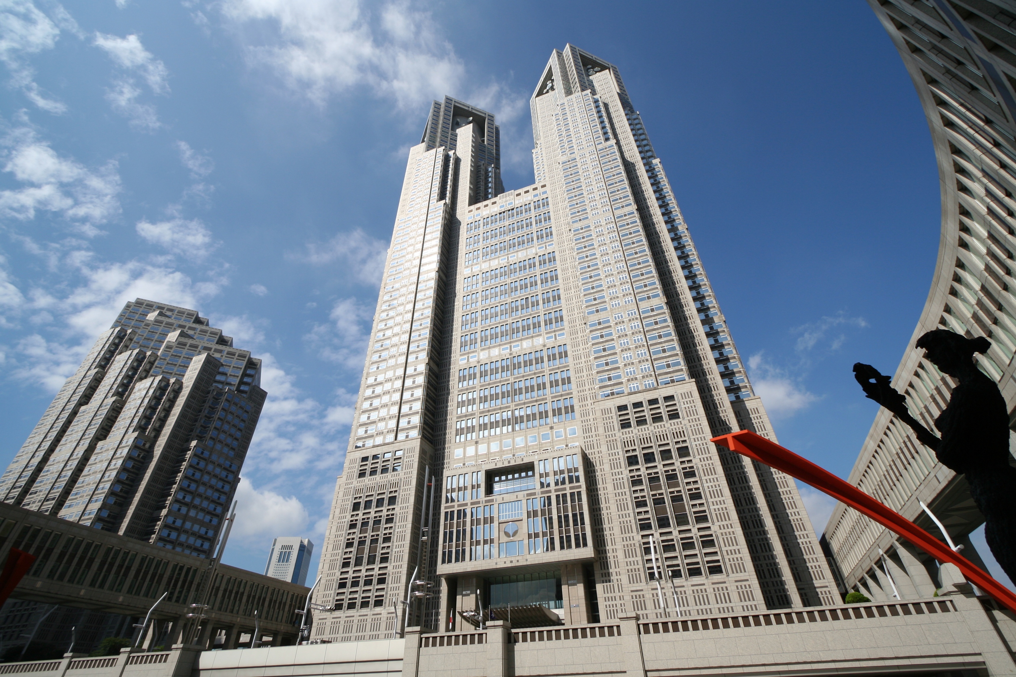
Tokyo (; ja, 東京, , ), officially the Tokyo Metropolis ( ja, 東京都, label=none, ), is the capital and largest city of Japan. Formerly known as Edo, its metropolitan area () is the most populous in the world, with an estimated 37.468 million residents ; the city proper has a population of 13.99 million people. Located at the head of Tokyo Bay, the prefecture forms part of the Kantō region on the central coast of Honshu, Japan's largest island. Tokyo serves as Japan's economic center and is the seat of both the Japanese government and the Emperor of Japan. Originally a fishing village named Edo, the city became politically prominent in 1603, when it became the seat of the Tokugawa shogunate. By the mid-18th century, Edo was one of the most populous cities in the world with a population of over one million people. Following the Meiji Restoration of 1868, the imperial capital in Kyoto was moved to Edo, which was renamed "Tokyo" (). Tokyo was devastate ... [...More Info...] [...Related Items...] OR: [Wikipedia] [Google] [Baidu] |
Akiruno, Tokyo
260px, Akigawa River in the autumn is a city located in the western portion of Tokyo Metropolis, Japan. , the city had an estimated population of 80,177, and a population density of 1100 persons per km2. The total area of the city is . Geography Akiruno is located in the foothills of the Okutama Mountains of western Tokyo, approximately 40-50 kilometers from the center of Tokyo. The Aki River and Hirai River flow through the city. It measures approximately 18 kilometers form east-to-west by 12.7 kilometers from north-to-south. Because of its rich nature and calm surroundings compared to central Tokyo, and because of access to transportation, many tourists choose Akiruno for their vacation. Especially Seoto-no-yo Spa is famous for its high quality alkaline spring and is referred to as the “beautiful skin spa”. Also, Akiruno is one of the most popular place for BBQ, biking and hiking. One of the most famous trail running cups in Japan, The Hasetsune Cup, is held in Akiruno. S ... [...More Info...] [...Related Items...] OR: [Wikipedia] [Google] [Baidu] |
Mount Kumotori
stands at the boundary of Tokyo, Saitama, and Yamanashi Prefectures on the island of Honshū, Japan. With an elevation of , its summit is the highest point in Tokyo. It separates the Okutama Mountains and the Okuchichibu Mountains. While it marks the end of the Ishione (石尾根) mountain ridge that begins near the JR Oku-Tama Station, the highest mountain ridge in Tokyo, its remote location amongst a group of mountains from both mountain ranges makes access difficult. Kumotori-san features an "emergency" hut sometimes used by hikers as overnight shelter. Hikers not used to the altitude (if coming from Tokyo) may prefer overnighting at a lower elevation. The top of Kumotori-san, in good weather, offers a splendid view of Mount Fuji. The prominence of the mountain in the region resulted in its summit being established as a fixed first-class triangulation point. As the triangulation point was established in December 1882, this was also one of the earliest ones established in Jap ... [...More Info...] [...Related Items...] OR: [Wikipedia] [Google] [Baidu] |
Towns Of Japan
A town (町; ''chō'' or ''machi'') is a local administrative unit in Japan. It is a local public body along with prefecture (''ken'' or other equivalents), city (''shi''), and village (''mura''). Geographically, a town is contained within a district. Note that the same word (町; ''machi'' or ''chō'') is also used in names of smaller regions, usually a part of a ward in a city. This is a legacy of when smaller towns were formed on the outskirts of a city, only to eventually merge into it. Towns See also * Municipalities of Japan * Japanese addressing system The Japanese addressing system is used to identify a specific location in Japan. When written in Japanese characters, addresses start with the largest geographical entity and proceed to the most specific one. When written in Latin characters, ad ... References {{reflist External links "Large_City_System_of_Japan";_graphic_shows_towns_compared_with_other_Japanese_city_types_at_p._1_[PDF_7_of_40/nowiki>">DF_7_of_4 ... [...More Info...] [...Related Items...] OR: [Wikipedia] [Google] [Baidu] |
Nishitama District, Tokyo
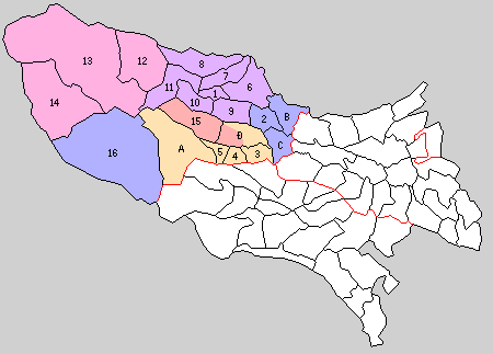
is a district located in Tokyo Metropolis, Japan. It comprises the following three towns and a village: * Hinode *Mizuho *Okutama * Hinohara Historically, the cities of Ōme, Fussa, Hamura, and Akiruno were part of Nishitama District but these have broken off from the district after they were elevated to city status. Education Each of the towns and villages operate separate public elementary and junior high school systems. Tokyo Metropolitan Government Board of Education operates Mizuho Nougei High School in Mizuho. The school district also operates the following high schools in nearby Ōme: * Norin High School * Ome Sogo High School * Tama High School The district operates the following high schools in Fussa: * Fussa High School * Tama Technical High School The district operates Hamura High School in Hamura. The district operates the following schools in Akiruno: * Akirudai High School * Itsukaichi High School District timeline * July 22, 1878: Tama District, whi ... [...More Info...] [...Related Items...] OR: [Wikipedia] [Google] [Baidu] |
Tama River
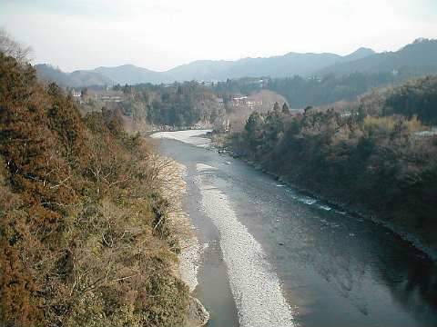
The is a major river in Yamanashi, Kanagawa and Tokyo Prefectures on Honshū, Japan. It is officially classified as a Class 1 river by the Japanese government. Its total length is , and the total of the river's basin area spans . The river flows through Tokyo, on the dividing line between Tokyo and Kanagawa. In the city, its banks are lined with parks and sports fields, making the river a popular picnic spot. Course The Tama's source is located at Mt. Kasatori in Koshu in Yamanashi Prefecture. From there, it flows eastward into mountainous western Tokyo, where the Ogōchi Dam forms Lake Okutama. Below the dam, it takes the name Tama and flows eastwards through Chichibu Tama Kai National Park towards Ōme, Tokyo. It then flows southeast between Tama Hills and Musashino Terrace. At Hamura is the source of the historic Tamagawa Aqueduct built by the Tamagawa brothers in 1653 to supply water to Edo (present day Tokyo). Further downstream, the river forms the boundary betw ... [...More Info...] [...Related Items...] OR: [Wikipedia] [Google] [Baidu] |
Kantō Region
The is a geographical area of Honshu, the largest island of Japan. In a common definition, the region includes the Greater Tokyo Area and encompasses seven prefectures: Gunma, Tochigi, Ibaraki, Saitama, Tokyo, Chiba and Kanagawa. Slightly more than 45 percent of the land area within its boundaries is the Kanto Plain. The rest consists of the hills and mountains that form land borders with other regions of Japan. As the Kanto region contains Tokyo, the capital and largest city of Japan, the region is considered the center of Japan's politics and economy. According to the official census on October 1, 2010, by the Japan Statistics Bureau, the population was 42,607,376, amounting to approximately one third of the total population of Japan. Other definitions The Kantō regional governors' association (関東地方知事会, ''Kantō chihō chijikai'') assembles the prefectural governors of Ibaraki, Tochigi, Gunma, Saitama, Chiba, Tokyo, Kanagawa, Yamanashi, Nagano and ... [...More Info...] [...Related Items...] OR: [Wikipedia] [Google] [Baidu] |
Volume
Volume is a measure of occupied three-dimensional space. It is often quantified numerically using SI derived units (such as the cubic metre and litre) or by various imperial or US customary units (such as the gallon, quart, cubic inch). The definition of length (cubed) is interrelated with volume. The volume of a container is generally understood to be the capacity of the container; i.e., the amount of fluid (gas or liquid) that the container could hold, rather than the amount of space the container itself displaces. In ancient times, volume is measured using similar-shaped natural containers and later on, standardized containers. Some simple three-dimensional shapes can have its volume easily calculated using arithmetic formulas. Volumes of more complicated shapes can be calculated with integral calculus if a formula exists for the shape's boundary. Zero-, one- and two-dimensional objects have no volume; in fourth and higher dimensions, an analogous concept to the normal vo ... [...More Info...] [...Related Items...] OR: [Wikipedia] [Google] [Baidu] |
Beech
Beech (''Fagus'') is a genus of deciduous trees in the family Fagaceae, native to temperate Europe, Asia, and North America. Recent classifications recognize 10 to 13 species in two distinct subgenera, ''Engleriana'' and ''Fagus''. The ''Engleriana'' subgenus is found only in East Asia, distinctive for its low branches, often made up of several major trunks with yellowish bark. The better known ''Fagus'' subgenus beeches are high-branching with tall, stout trunks and smooth silver-grey bark. The European beech (''Fagus sylvatica'') is the most commonly cultivated. Beeches are monoecious, bearing both male and female flowers on the same plant. The small flowers are unisexual, the female flowers borne in pairs, the male flowers wind-pollinating catkins. They are produced in spring shortly after the new leaves appear. The fruit of the beech tree, known as beechnuts or mast, is found in small burrs that drop from the tree in autumn. They are small, roughly triangular, and edible, w ... [...More Info...] [...Related Items...] OR: [Wikipedia] [Google] [Baidu] |
Edo Period
The or is the period between 1603 and 1867 in the history of Japan, when Japan was under the rule of the Tokugawa shogunate and the country's 300 regional '' daimyo''. Emerging from the chaos of the Sengoku period, the Edo period was characterized by economic growth, strict social order, isolationist foreign policies, a stable population, perpetual peace, and popular enjoyment of arts and culture. The period derives its name from Edo (now Tokyo), where on March 24, 1603, the shogunate was officially established by Tokugawa Ieyasu. The period came to an end with the Meiji Restoration and the Boshin War, which restored imperial rule to Japan. Consolidation of the shogunate The Edo period or Tokugawa period is the period between 1603 and 1867 in the history of Japan, when Japan was under the rule of the Tokugawa shogunate and the country's regional '' daimyo''. A revolution took place from the time of the Kamakura shogunate, which existed with the Tennō's court, to the Tok ... [...More Info...] [...Related Items...] OR: [Wikipedia] [Google] [Baidu] |


