|
Oberalppass
Oberalp Pass ( rm, Alpsu or ''Cuolm d'Ursera''; german: Oberalppass) (2044 meters above sea level) is a high mountain pass in the Swiss Alps connecting the Cantons of Switzerland, cantons of Graubünden and Canton of Uri, Uri between Disentis, Disentis/Mustér and Andermatt. Winter closure The public road that crosses the pass is closed in winter, but the Furka Oberalp Bahn, Furka-Oberalp railway line, now part of the Matterhorn Gotthard Bahn, runs year round and provides a limited shuttle for cars in winter (reservation required). When the road closes depends on snowfall and varies between the end of October and the beginning of December. The road opens again in spring, usually by the end of April but sometimes not until mid May. In winter, a ski area extends to the Graubünden side, connecting the pass well into the Tujetsch territory to Dieni, near Rueras. Source of the Rhine river The Rhine springs from a source nearby (Tomasee), which can be accessed by hiking two hours from ... [...More Info...] [...Related Items...] OR: [Wikipedia] [Google] [Baidu] |
Gotthard Oberalp Arena
The SkiArena Andermatt-Sedrun (previously the Gotthard Oberalp Arena and the Gotthard Oberalp Skiarena (until 2013)) is a ski area located in Andermatt, Sedrun, and Oberalp in Switzerland. It has 16 ski lifts and approximately 30 runs, and just over 100 km of pistes. The ski area covers five separate mountains: * Gemsstock * Nätschen * Sedrun / Oberalp * Realp (small beginner slope only) * Valtgeva (small beginner slope only) It previously included Winterhorn, in Hospental, which was abandoned in 2007. Train services (run by the Matterhorn Gotthard Bahn) are vital in this resort as they are the only means of transport available to travel from Andermatt (Nätschen and Gemsstock) to Oberalp, Dieni, and Sedrun. Between Andermatt, Hospental, and Realp can be journeyed by car as well as the railway. Ski areas Gemsstock Gemsstock is located south of Andermatt. It has 7 runs (31 km of pistes) and 4 ski lifts. Gemsstock is suitable for a range of skiers of all abili ... [...More Info...] [...Related Items...] OR: [Wikipedia] [Google] [Baidu] |
Nätschen
Nätschen is a mountain location and ski area above Andermatt, in the Canton of Uri, Switzerland. Higher up on Nätschen the mountain is known as Gütsch. Its highest point is . It is one of the mountains in the Gotthard Oberalp Arena, as is Gemsstock, which is on the other side of Andermatt. It has 11 ski runs, totaling approximately 21 km of ski pistes, and 4 ski lifts, including a Detachable 4-man Chairlift. Nätschen's lifts are powered by 3 wind turbines, two of which were installed in late 2010 (E-44), the other in 2004 (E-40). These turbines are all made by Enercon. Nätschen has a railway station, run by the Matterhorn Gotthard Bahn, which is between Andermatt and Disentis/Mustér. Skiing Ski Runs Nätschen has a 2-man chairlift which takes you up to the middle. Here you can choose to * Go down an easy run (that is actually running down a road, so it is not very steep. This is used as the sledging route as well) * Go down an intermediate run * Go down an off-pis ... [...More Info...] [...Related Items...] OR: [Wikipedia] [Google] [Baidu] |
List Of Highest Paved Roads In Europe
This is a list of the highest paved roads in Europe. It includes roads that are over long and whose culminating point is at least above sea level. This height approximately corresponds to that of the highest settlements in Europe and to the tree line in several mountain ranges such as the Alps and the Pyrenees, where most of the highest roads are located. Some of the listed roads are closed to motorized vehicles, although they are normally all accessible to pedestrians and cyclists. These mountain roads are visited by drivers, motorcyclists, bicyclists and hikers for their scenery and often feature in the routes of European bicycle races such as the Giro d'Italia, the Tour de Suisse, the Tour of Austria, the Tour de France and the Vuelta a España. Due to snow conditions, most of the high roads are closed between (late) autumn and late spring/early summer. Note on the elevations: Near the highest point of the road there is often a shield that indicates the name (in local lan ... [...More Info...] [...Related Items...] OR: [Wikipedia] [Google] [Baidu] |
Rhine
), Surselva, Graubünden, Switzerland , source1_coordinates= , source1_elevation = , source2 = Rein Posteriur/Hinterrhein , source2_location = Paradies Glacier, Graubünden, Switzerland , source2_coordinates= , source2_elevation = , source_confluence = Reichenau , source_confluence_location = Tamins, Graubünden, Switzerland , source_confluence_coordinates= , source_confluence_elevation = , mouth = North Sea , mouth_location = Netherlands , mouth_coordinates = , mouth_elevation = , progression = , river_system = , basin_size = , tributaries_left = , tributaries_right = , custom_label = , custom_data = , extra = The Rhine ; french: Rhin ; nl, Rijn ; wa, Rén ; li, Rien; rm, label= Sursilvan, Rein, rm, label= Sutsilvan and Surmiran, Ragn, rm, label=Rumantsch Grischun, Vallader and Puter, Rain; it, Reno ; gsw, Rhi(n), inclu ... [...More Info...] [...Related Items...] OR: [Wikipedia] [Google] [Baidu] |
Swisstopo
Swisstopo is the official name for the Swiss Federal Office of Topography (in German language, German: ''Bundesamt für Landestopografie''; French language, French: ''Office fédéral de topographie''; Italian language, Italian: ''Ufficio federale di topografia''; Romansh language, Romansh: ''Uffizi federal da topografia''), Switzerland's national mapping agency. The current name was made official in 2002. It had been in use as the domain name for the institute's homepage, swisstopo.ch, since 1997. Maps The main class of products produced by Swisstopo are topographical maps on seven different Scale (map), scales. Swiss maps have been praised for their accuracy and quality. Regular maps * 1:25.000. This is the most detailed map, useful for many purposes. Those are popular with tourists, especially for famous areas like Zermatt and St. Moritz. These maps cost CHF 13.50 each (2004). 208 maps on this scale are published at regular intervals. The first map published on this scale ... [...More Info...] [...Related Items...] OR: [Wikipedia] [Google] [Baidu] |
Railway Platform
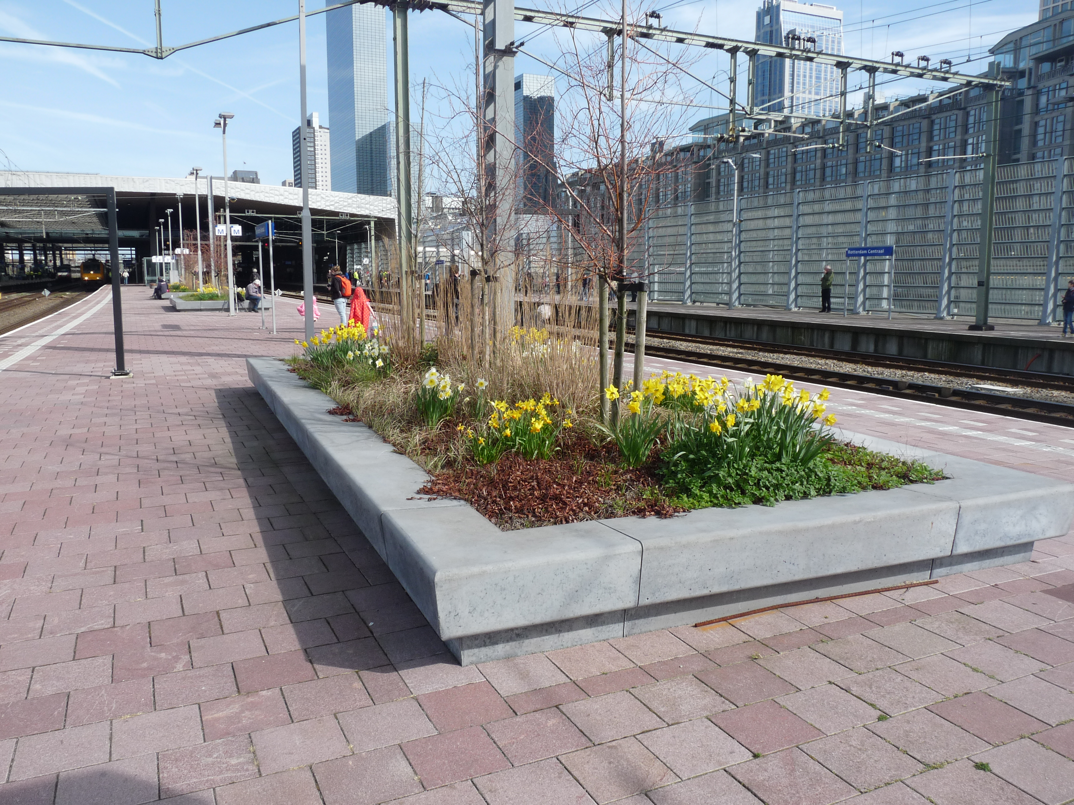
A railway platform is an area alongside a railway track providing convenient access to trains. Almost all stations have some form of platform, with larger stations having multiple platforms. The world's longest station platform is at Hubbali Junction in India at .Gorakhpur gets world's largest railway platform ''The Times of India'' The in the United States, at the other extreme, has a platform which is only long enough for a single bench. Among some United States train conductors the word "platform" has entered [...More Info...] [...Related Items...] OR: [Wikipedia] [Google] [Baidu] |
Ski Areas And Resorts In Switzerland
A ski is a narrow strip of semi-rigid material worn underfoot to glide over snow. Substantially longer than wide and characteristically employed in pairs, skis are attached to ski boots with ski bindings, with either a free, lockable, or partially secured heel. For climbing slopes, ski skins (originally made of seal fur, but now made of synthetic materials) can be attached at the base of the ski. Originally intended as an aid to travel over snow, they are now mainly used recreationally in the sport of skiing. Etymology and usage The word ''ski'' comes from the Old Norse word which means "cleft wood", "stick of wood" or "ski". In Old Norse common phrases describing skiing were ''fara á skíðum'' (to travel, move fast on skis), ''renna'' (to move swiftly) and ''skríða á skíðum'' (to stride on skis). In modern Norwegian the word ''ski'' has largely retained the Old Norse meaning in words for split firewood, wood building materials (such as bargeboards) and roundpole fence ... [...More Info...] [...Related Items...] OR: [Wikipedia] [Google] [Baidu] |
Mountain Passes Of The Canton Of Uri
A mountain is an elevated portion of the Earth's crust, generally with steep sides that show significant exposed bedrock. Although definitions vary, a mountain may differ from a plateau in having a limited summit area, and is usually higher than a hill, typically rising at least 300 metres (1,000 feet) above the surrounding land. A few mountains are isolated summits, but most occur in mountain ranges. Mountains are formed through tectonic forces, erosion, or volcanism, which act on time scales of up to tens of millions of years. Once mountain building ceases, mountains are slowly leveled through the action of weathering, through slumping and other forms of mass wasting, as well as through erosion by rivers and glaciers. High elevations on mountains produce colder climates than at sea level at similar latitude. These colder climates strongly affect the ecosystems of mountains: different elevations have different plants and animals. Because of the less hospitable terrain and ... [...More Info...] [...Related Items...] OR: [Wikipedia] [Google] [Baidu] |
Mountain Passes Of Graubünden
A mountain is an elevated portion of the Earth's crust, generally with steep sides that show significant exposed bedrock. Although definitions vary, a mountain may differ from a plateau in having a limited summit area, and is usually higher than a hill, typically rising at least 300 metres (1,000 feet) above the surrounding land. A few mountains are isolated summits, but most occur in mountain ranges. Mountains are formed through tectonic forces, erosion, or volcanism, which act on time scales of up to tens of millions of years. Once mountain building ceases, mountains are slowly leveled through the action of weathering, through slumping and other forms of mass wasting, as well as through erosion by rivers and glaciers. High elevations on mountains produce colder climates than at sea level at similar latitude. These colder climates strongly affect the ecosystems of mountains: different elevations have different plants and animals. Because of the less hospitable terrain and ... [...More Info...] [...Related Items...] OR: [Wikipedia] [Google] [Baidu] |
Mountain Passes Of The Alps
A mountain is an elevated portion of the Earth's crust, generally with steep sides that show significant exposed bedrock. Although definitions vary, a mountain may differ from a plateau in having a limited summit area, and is usually higher than a hill, typically rising at least 300 metres (1,000 feet) above the surrounding land. A few mountains are isolated summits, but most occur in mountain ranges. Mountains are formed through tectonic forces, erosion, or volcanism, which act on time scales of up to tens of millions of years. Once mountain building ceases, mountains are slowly leveled through the action of weathering, through slumping and other forms of mass wasting, as well as through erosion by rivers and glaciers. High elevations on mountains produce colder climates than at sea level at similar latitude. These colder climates strongly affect the ecosystems of mountains: different elevations have different plants and animals. Because of the less hospitable terrain and ... [...More Info...] [...Related Items...] OR: [Wikipedia] [Google] [Baidu] |
Mountain Passes Of Switzerland
A mountain is an elevated portion of the Earth's crust, generally with steep sides that show significant exposed bedrock. Although definitions vary, a mountain may differ from a plateau in having a limited summit area, and is usually higher than a hill, typically rising at least 300 metres (1,000 feet) above the surrounding land. A few mountains are isolated summits, but most occur in mountain ranges. Mountains are formed through tectonic forces, erosion, or volcanism, which act on time scales of up to tens of millions of years. Once mountain building ceases, mountains are slowly leveled through the action of weathering, through slumping and other forms of mass wasting, as well as through erosion by rivers and glaciers. High elevations on mountains produce colder climates than at sea level at similar latitude. These colder climates strongly affect the ecosystems of mountains: different elevations have different plants and animals. Because of the less hospitable terrain and ... [...More Info...] [...Related Items...] OR: [Wikipedia] [Google] [Baidu] |


