|
Oxford Park Railway Station
Oxford Park railway station is located on the Ferny Grove line in Brisbane, Queensland, Australia. It is one of two railway stations serving the Brisbane suburb of Mitchelton Mitchelton is a north-western suburb in the City of Brisbane, Queensland, Australia. In the , Mitchelton had a population of 8,559 people. Geography The suburb is located by road from the Brisbane GPO. Mitchelton is part of the northwestern s ..., the other being Mitchelton railway station. History The station was upgraded in 2008 as part of the Mitchelton to Keperra duplication project. Services Oxford Park station is served by all stops Ferny Grove line services from Ferny Grove to Roma Street, Park Road, Coopers Plains and Beenleigh. Services by platform References External links *Oxford Park stationQueensland RailOxford Park stationQueensland's Railways on the Internet * Oxford Park stationTransLink travel information Mitchelton, Queensland Railway stations in Brisbane ... [...More Info...] [...Related Items...] OR: [Wikipedia] [Google] [Baidu] |
Mitchelton, Queensland
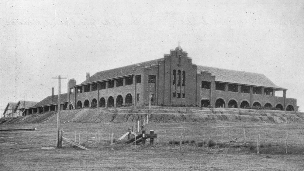
Mitchelton is a north-western suburb in the City of Brisbane, Queensland, Australia. In the , Mitchelton had a population of 8,559 people. Geography The suburb is located by road from the Brisbane GPO. Mitchelton is part of the northwestern suburbs. It is a growing suburb with many Queenslander style houses and leafy streets. The area is quite hilly and most of the suburb is on a north-facing slope. History Mitchelton is an area with a long history. Mitchelton's name comes from one particular family of the first settlers in the area. The Mitchell family emigrated from England in the 1850s. Nicholas Mitchell purchased an estate he named "Mitchelton" by 1875. This area was first subdivided in the 1890s. St Matthews Church of England was built from 1867 to 1869. The church and its cemetery are at 35 Church Road (). It was designed by Charles Tiffin. On 4 October 1913, Arthur Blackwood sold a large portion of land known as the Oxford Park Estate between Samford Road and Kedron ... [...More Info...] [...Related Items...] OR: [Wikipedia] [Google] [Baidu] |
Central Railway Station, Brisbane
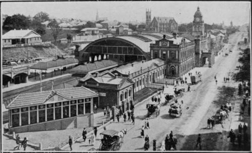
Central railway station is located on the North Coast line in Queensland, Australia. It is the principal station on the City network and is located in the north of the Brisbane central business district. Central station is one of four inner city stations that form a core corridor through the centre of Brisbane. History The first building for Central railway station was a structure of wood and corrugated galvanised iron, and opened on 18 August 1889 as the terminus of the line when it was extended from Roma Street railway station. In 1891, the tunnel to Brunswick Street station (now Fortitude Valley) was opened so trains could run directly from Central to northern destinations. An elegant new station was constructed and opened in 1899 with arches of corrugated galvanised iron over the platforms and a portico on Ann Street. A new entrance with its distinctive row of clocks was constructed in 1901 in sandstone from nearby quarries. In 1904, Central had the only electro-pne ... [...More Info...] [...Related Items...] OR: [Wikipedia] [Google] [Baidu] |
Ferny Grove Railway Line
The Ferny Grove railway line is a suburban railway line in Brisbane, the state capital of Queensland, Australia. It is part of the Queensland Rail City network. History Based on initial surveys, in 1885 the Queensland Government planned to construct a railway line to Samford with the intention of extending it to Gympie. However, no immediate action was taken and further surveys resulted in the decision to construct the line to Gympie via the Mayne railway station (Bowen Hills) which created the North Coast railway line. The relocation of Brisbane's cattle sales yard from Normanby to Newmarket created a need to provide a railway to Newmarket. With financial guarantees provided by the Windsor Shire Council and the Enoggera Divisional Board, the Queensland Railways built a branch line from Mayne railway station (Bowen Hills) to Newmarket railway station to service the cattle yards and beyond to Enoggera railway station for suburban passenger services. This line opene ... [...More Info...] [...Related Items...] OR: [Wikipedia] [Google] [Baidu] |
Queensland Rail
Queensland Rail (QR) is a railway operator in Queensland, Australia. Owned by the Queensland Government, it operates local and long-distance passenger services, as well as owning and maintaining approximately 6,600 kilometres of track and related infrastructure. QR was also responsible for all Queensland freight services, and from 2002 operated interstate services under the Australian Railroad Group, Interail and QR National brands. These were all spun out into a separate entity in July 2010, and later privatised as Aurizon. History Beginnings Queensland Railways was the first operator in the world to adopt narrow gauge (in this case ) for a main line, and this remains the systemwide gauge within Queensland today. The colony of Queensland separated from New South Wales in 1859, and the new government was keen to facilitate development and immigration. Improved transport to the fertile Darling Downs region situated west of Toowoomba was seen as a priority. As adequate river ... [...More Info...] [...Related Items...] OR: [Wikipedia] [Google] [Baidu] |
Queensland Rail City Network
The Queensland Rail Citytrain network, provides urban, suburban and interurban electric passenger railway services in South East Queensland, Australia. History The first railway in Queensland did not run to Brisbane, but ran from Ipswich to Grandchester and opened in July 1865. The line into Brisbane was not completed until the opening of the Albert Bridge in July 1875. A start on electrification of the suburban network was approved in 1950 but a change of state government in 1957 saw the scheme abandoned in 1959. It was not until the 1970s that electrification was again brought up, with contracts let in 1975. The first part of the new electric system from Darra to Ferny Grove opened on 17 November 1979. The network was completed by 1988, with a number of extensions made since and additional rolling stock purchased. Services were initially operated under the Queensland Rail brand, with the ''Citytrain'' name established in 1995. In June 2009 as part the split of Queens ... [...More Info...] [...Related Items...] OR: [Wikipedia] [Google] [Baidu] |
Go Card
The ''go'' card is an electronic smartcard ticketing system developed by Cubic Corporation, which is currently used on the TransLink public transport network in South East Queensland. To use the ''go'' card, users hold the card less than 10 cm away from the reader to "touch on" before starting a journey, and must do the same to "touch off" the service at the end of the journey. The cost of each journey is deducted from the ''go'' card balance. The Queensland Government awarded the $134 million contract to design, build, operate and maintain the ''go'' card system to Cubic Corporation in July 2003. In July 2006, TransLink signed up around 1,000 volunteers to trial the new smartcard system in the Redcliffe area. The go card was launched throughout Brisbane in February 2008, the ''go'' card was available at selected retail stores and Queensland Rail stations. It could also be accessed by phone or online. History The ''go'' card was a major part of the Queensland Governm ... [...More Info...] [...Related Items...] OR: [Wikipedia] [Google] [Baidu] |
Brisbane
Brisbane ( ) is the capital and most populous city of the states and territories of Australia, Australian state of Queensland, and the list of cities in Australia by population, third-most populous city in Australia and Oceania, with a population of approximately 2.6 million. Brisbane lies at the centre of the South East Queensland metropolitan region, which encompasses a population of around 3.8 million. The Brisbane central business district is situated within a peninsula of the Brisbane River about from its mouth at Moreton Bay, a bay of the Coral Sea. Brisbane is located in the hilly floodplain of the Brisbane River Valley between Moreton Bay and the Taylor Range, Taylor and D'Aguilar Range, D'Aguilar mountain ranges. It sprawls across several local government in Australia, local government areas, most centrally the City of Brisbane, Australia's most populous local government area. The demonym of Brisbane is ''Brisbanite''. The Traditional Owners of the Brisbane a ... [...More Info...] [...Related Items...] OR: [Wikipedia] [Google] [Baidu] |
Queensland
) , nickname = Sunshine State , image_map = Queensland in Australia.svg , map_caption = Location of Queensland in Australia , subdivision_type = Country , subdivision_name = Australia , established_title = Before federation , established_date = Colony of Queensland , established_title2 = Separation from New South Wales , established_date2 = 6 June 1859 , established_title3 = Federation , established_date3 = 1 January 1901 , named_for = Queen Victoria , demonym = , capital = Brisbane , largest_city = capital , coordinates = , admin_center_type = Administration , admin_center = 77 local government areas , leader_title1 = Monarch , leader_name1 = Charles III , leader_title2 = Governor , leader_name2 = Jeannette Young , leader_title3 = Premier , leader_name3 = Annastacia Palaszczuk ( ALP) , legislature = Parliament of Queensland , judiciary = Supreme Court of Queensland , national_representation = Parliament of Australia , national_representation_type ... [...More Info...] [...Related Items...] OR: [Wikipedia] [Google] [Baidu] |
Mitchelton
Mitchelton is a north-western suburb in the City of Brisbane, Queensland, Australia. In the , Mitchelton had a population of 8,559 people. Geography The suburb is located by road from the Brisbane GPO. Mitchelton is part of the northwestern suburbs. It is a growing suburb with many Queenslander style houses and leafy streets. The area is quite hilly and most of the suburb is on a north-facing slope. History Mitchelton is an area with a long history. Mitchelton's name comes from one particular family of the first settlers in the area. The Mitchell family emigrated from England in the 1850s. Nicholas Mitchell purchased an estate he named "Mitchelton" by 1875. This area was first subdivided in the 1890s. St Matthews Church of England was built from 1867 to 1869. The church and its cemetery are at 35 Church Road (). It was designed by Charles Tiffin. On 4 October 1913, Arthur Blackwood sold a large portion of land known as the Oxford Park Estate between Samford Road and Kedron ... [...More Info...] [...Related Items...] OR: [Wikipedia] [Google] [Baidu] |
Mitchelton Railway Station
Mitchelton railway station is located on the Ferny Grove line in Queensland, Australia. It is one of two railway stations serving the Brisbane suburb of Mitchelton, the other being Oxford Park railway station. History The station opened in March 1918 due to public demand. To the north of the station lies a turnback siding. Services Mitchelton station is served by all stops Ferny Grove line services from Ferny Grove to Roma Street, Park Road, Coopers Plains and Beenleigh. Services by platform Transport links Brisbane Transport operate four routes from Mitchelton station: *369: to Toombul via Stafford *396: to Arana Hills *397: to Ferny Grove station via Everton Hills *398: to Ferny Grove station via Arana Hills In addition the above, Brisbane Transport Transport for Brisbane, previously called Brisbane Transport'','' is an organisational division of the Brisbane City Council, responsible through its related Council Committee for providing policy and advice to Br ... [...More Info...] [...Related Items...] OR: [Wikipedia] [Google] [Baidu] |
Government Of Queensland
The Queensland Government is the democratic administrative authority of the States and territories of Australia, Australian state of Queensland. The Government of Queensland, a parliamentary system, parliamentary constitutional monarchy was formed in 1859 as prescribed in its Constitution of Queensland, Constitution, as amended from time to time. Since the Federation of Australia in 1901, Queensland has been a States and territories of Australia, State of Australia, with the Constitution of Australia regulating the relationships between all state and territory governments and the Australian Government. Under the Australian Constitution, all states and territories (including Queensland) Section 51 of the Constitution of Australia, ceded powers relating to certain matters to the federal government. The government is influenced by the Westminster system and Federalism in Australia, Australia's federal system of government. The Governor of Queensland, as the representative of Charles ... [...More Info...] [...Related Items...] OR: [Wikipedia] [Google] [Baidu] |
Ferny Grove Railway Station
Ferny Grove railway station is the terminus station of the Ferny Grove line in Queensland, Australia. It serves the Brisbane suburb of Ferny Grove. The Brisbane Tramway Museum is a short walk south of the station. History The station opened in 1918 as part of the extension to Samford. The line formerly extended to Dayboro, but was cut back to Ferny Grove in 1955, as part of a larger rationalisation by the Queensland Government of its railway lines. The line now terminates here with bus services running to Samford during peak times. The station was upgraded in 2012 as part of the Keperra-Ferny Grove duplication project. The upgrade included relocating the platform, a new station building and car park. Camp Mountain rail accident The Camp Mountain rail accident occurred in 1947 west of Ferny Grove on the Dayboro stretch of the line. It is Queensland's worst railway accident. 16 people were killed when a picnic excursion train failed to negotiate a bend on the line between Ca ... [...More Info...] [...Related Items...] OR: [Wikipedia] [Google] [Baidu] |


