|
Ottawa Greenbelt
The Greenbelt (french: Ceinture de verdure) is a protected green belt traversing Ottawa, Ontario, Canada. It includes green space, forests, farms, and wetlands from Shirleys Bay in the west and to Green's Creek in the east. It is the largest publicly owned green belt in the world and the most ecologically diverse area in Eastern Ontario. The National Capital Commission (NCC) owns and manages , and the rest is held by other federal government departments and private interests. Real estate development within the Greenbelt is strictly controlled. The Greenbelt lies within eight kilometers of Parliament Hill in downtown Ottawa and ranges in width from two to ten kilometers. It encircles many of the oldest communities in the City of Ottawa, and covers the same amount of land as the urbanized area of Ottawa that it surrounds. History The Greenbelt was proposed by Jacques Gréber in 1950 as part of his master plan for Ottawa, and the federal government started expropriating land in ... [...More Info...] [...Related Items...] OR: [Wikipedia] [Google] [Baidu] |
Eastern Ontario
Eastern Ontario (census population 1,763,186 in 2016) (french: Est de l'Ontario) is a secondary region of Southern Ontario in the Canadian province of Ontario which lies in a wedge-shaped area between the Ottawa River and St. Lawrence River. It shares water boundaries with Quebec to the north and New York State to the east and south, as well as a small land boundary with the Vaudreuil-Soulanges region of Quebec to the east. It includes the cities of Ottawa, Brockville, Cornwall, Kingston and Pembroke, the towns of Gananoque, Prescott and Smiths Falls, and the counties of Prescott and Russell, Stormont, Dundas and Glengarry, Lanark, Renfrew, Leeds and Grenville, Frontenac and Lennox and Addington. Some sources may also include Hastings, Prince Edward, and occasionally Northumberland in the definition of Eastern Ontario, but others classify them as Central Ontario. The region may also be referred to as Southeastern Ontario to differentiate it from the Northern Ontario seco ... [...More Info...] [...Related Items...] OR: [Wikipedia] [Google] [Baidu] |
Urban Sprawl
Urban sprawl (also known as suburban sprawl or urban encroachment) is defined as "the spreading of urban developments (such as houses and shopping centers) on undeveloped land near a city." Urban sprawl has been described as the unrestricted growth in many urban areas of housing, commercial development, and roads over large expanses of land, with little concern for urban planning. In addition to describing a special form of urbanization, the term also relates to the social and environmental consequences associated with this development. Medieval suburbs suffered from loss of protection of city walls, before the advent of industrial warfare. Modern disadvantages and costs include increased travel time, transport costs, pollution, and destruction of the countryside. The cost of building urban infrastructure for new developments is hardly ever recouped through property taxes, amounting to a subsidy for the developers and new residents at the expense of existing property taxpayers. In ... [...More Info...] [...Related Items...] OR: [Wikipedia] [Google] [Baidu] |
Ontario Highway 417
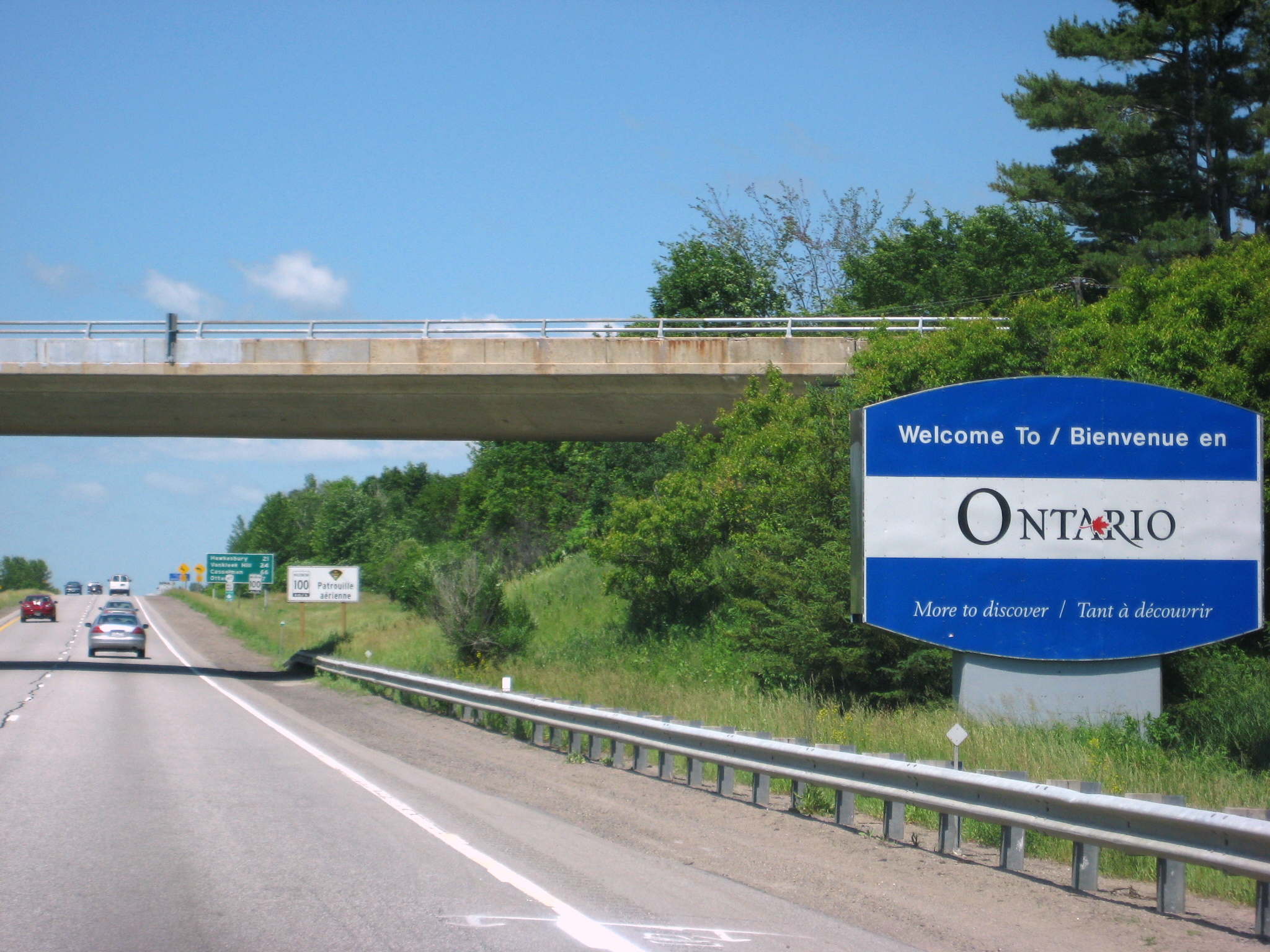
King's Highway 417, commonly referred to as Highway 417 and as the Queensway through Ottawa, is a 400-series highway in the Canadian province of Ontario. It connects Ottawa with Montreal via A-40, and is the backbone of the highway system in the National Capital Region. Within Ottawa, it forms part of the Queensway west from Highway 7 to Ottawa Road 174. Highway 417 extends from the Quebec border, near Hawkesbury, to Arnprior, where it continues westward as Highway 17. Aside from the urban section through Ottawa, Highway 417 passes through farmland that dominates much of the fertile Ottawa Valley. Within Ottawa, the Queensway was built as part of a grand plan for the city between 1957 and 1966, and later reconstructed to its present form throughout the 1980s. The eastern section, from Gloucester to the Quebec border, opened in 1975 in preparation for the 1976 Montreal Olympics. Sections west of Ottawa have been under construction since the mid-1970s, ... [...More Info...] [...Related Items...] OR: [Wikipedia] [Google] [Baidu] |
Barrhaven
Barrhaven is a suburb of Ottawa, Ontario, Canada. It is located about southwest of the city's downtown core. Prior to amalgamation with Ottawa in 2001, Barrhaven was part of the City of Nepean. Its population as of the Canada 2021 Census was 103,234. Geography Barrhaven is approximately bounded to the north by the Greenbelt, to the east by the Rideau River, to the west by Highway 416, and to the south by the new Half Moon Bay development along Cambrian Road south of the Jock River. The area is diagonally bisected by CN rail tracks. Barrhaven is surrounded by rural areas and farmland, with the exception of the growing Riverside South area across the Rideau River. Directly south of Barrhaven is Manotick, a commuter town of the city. Barrhaven is divided into several areas: Barrhaven proper or Old Barrhaven is the westernmost part of the neighbourhood, lying between Cedarview Road and Greenbank Road. New residential development is expanding the west side of Old Barrhaven between ... [...More Info...] [...Related Items...] OR: [Wikipedia] [Google] [Baidu] |
Cumberland, Ontario
Cumberland is a former municipality and now geographic township in eastern Ontario, Canada. It was an incorporated township from 1800 to 1999, when it was incorporated as the City of Cumberland, then ceased to be a separate municipality in 2001, when it was amalgamated into the city of Ottawa. It now exists only as a geographic township. History Cumberland was originally incorporated as a township in 1800 as part of Russell County. It took its name from the Duke of Cumberland (later King of Hanover). When an upper-tier Regional level of government was created in 1969 to replace neighbouring Carleton County, the township was removed from Russell County and incorporated into the new Regional Municipality of Ottawa–Carleton. The township comprised the eastern portion of Ottawa's Orléans suburb as well as the communities of Cumberland Village, Carlsbad Springs, Navan, Notre-Dame-des-Champs, Sarsfield, and Vars. Almost 200 years after it was first incorporated, Cumberla ... [...More Info...] [...Related Items...] OR: [Wikipedia] [Google] [Baidu] |
Orleans, Ontario
Orleans (; French: ; officially and in French OrléansThe suburb is called ''Orléans'' (with an accent) in French, but is commonly called ''Orleans'' (no accent) in English. The official name in English was changed from ''Orleans'' to ''Orléans'' by the Ontario Geographic Names Board in 1994, but the unaccented form remains common usage.) is a suburb of Ottawa, Ontario, Canada. It is located in the east end of the city along the Ottawa River, about from Downtown Ottawa. The Canada 2021 Census determined that Orléans' population was 125,937. Prior to being amalgamated into Ottawa in 2001, the community of Orléans was spread over two municipal jurisdictions, the eastern portion being in the pre-amalgamation City of Cumberland, the western portion in the City of Gloucester. According to the 2021 census, 75,453 people lived in the Cumberland portion of Orleans, while 50,484 people lived in the Gloucester portion. Today, Orléans spans the municipal wards of Orléans, Innes, ... [...More Info...] [...Related Items...] OR: [Wikipedia] [Google] [Baidu] |
Kanata, Ontario
Kanata (, ) is a suburb of Ottawa, Ontario, Canada. It is located about west of the city's downtown core. As of 2021, Kanata had an urban population of 137,118. Before it was amalgamated into Ottawa in 2001, it was one of the fastest-growing cities in Canada and the fastest-growing community in Eastern Ontario. Located just to the west of the National Capital Commission Greenbelt, it is one of the largest of several communities that surround central Ottawa. History The area that is today Kanata was originally part of the March Township, and was first settled by Europeans in the early 19th century. One site dating from this era is Pinhey's Point. It remained mainly agricultural until the 1960s when it became the site of heavy development. Modern Kanata is largely the creation of Bill Teron, a developer and urban planner who purchased over of rural land and set about building a model community. Unlike other suburbs, Kanata was designed to have a mix of densities and comme ... [...More Info...] [...Related Items...] OR: [Wikipedia] [Google] [Baidu] |
Hunt Club
Hunt Club, hunt club, or hunting club may refer to: * Hunt Club, area of Ottawa, Canada **Hunt Club Road * Hunt Club Park, a different neighbourhood in Ottawa * ''The Hunt Club'', 2010 album by Sector Seven * hunting club, either: ** Club (weapon) used for hunting ** Club (organization) A club is an association of people united by a common interest or goal. A service club, for example, exists for voluntary or charitable activities. There are clubs devoted to hobbies and sports, social activities clubs, political and religious c ... for hunters *** :Hunting with hounds lists many such clubs {{dab ... [...More Info...] [...Related Items...] OR: [Wikipedia] [Google] [Baidu] |
Gloucester, Ontario
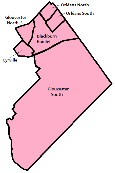
Gloucester ( ) is a former municipality and now geographic area of Ottawa, Ontario, Canada. Located east of Ottawa's inner core, it was an independent city until amalgamated with the Regional Municipality of Ottawa–Carleton in 2001 to become the new city of Ottawa. The population of Gloucester is about 150,012 people (2021 Census). History Gloucester, originally known as Township B, was established in 1792. The first settler in the township was Braddish Billings in what is now the Billings Bridge area of Ottawa. In 1800, the township became part of Russell County, Ontario, Russell County, and later Carleton County, Ontario, Carleton County in 1838. In 1850, the area was incorporated as Gloucester Township, named after Prince William Frederick, Duke of Gloucester and Edinburgh. Over the years, parts of Gloucester Township were annexed by the expanding city of Ottawa. Gloucester was incorporated as a city in 1981 and became part of the amalgamated city of Ottawa in 2001. Town ... [...More Info...] [...Related Items...] OR: [Wikipedia] [Google] [Baidu] |
Nepean, Ontario
Nepean ( ) is a former municipality and now geographic area of Ottawa, Ontario, Canada. Located west of Ottawa's inner core, it was an independent city until amalgamated with the Regional Municipality of Ottawa–Carleton in 2001 to become the new city of Ottawa. However, the name Nepean continues in common usage in reference to the area. The population of Nepean is about 186,593 people (2021 Census). Although the neighbouring municipality of Kanata, Ontario, Kanata formed the entrepreneurial and high tech centre of the region, Nepean hosted noted industries such as Nortel Networks, JDS Uniphase and Gandalf Technologies. As with the rest of the National Capital Region, however, Nepean's economy was also heavily dependent on federal government employment. Most of Nepean's employed residents commute to downtown Ottawa or Kanata for work. Nepean's policies of operational and capital budgeting prudence contrasted with the budget philosophies of some other municipalities in the area. ... [...More Info...] [...Related Items...] OR: [Wikipedia] [Google] [Baidu] |
Suburb
A suburb (more broadly suburban area) is an area within a metropolitan area, which may include commercial and mixed-use, that is primarily a residential area. A suburb can exist either as part of a larger city/urban area or as a separate political entity. The name describes an area which is not as densely populated as an inner city, yet more densely populated than a rural area in the countryside. In many metropolitan areas, suburbs exist as separate residential communities within commuting distance of a city (cf "bedroom suburb".) Suburbs can have their own political or legal jurisdiction, especially in the United States, but this is not always the case, especially in the United Kingdom, where most suburbs are located within the administrative boundaries of cities. In most English-speaking countries, suburban areas are defined in contrast to central or inner city areas, but in Australian English and South African English, ''suburb'' has become largely synonymous with what ... [...More Info...] [...Related Items...] OR: [Wikipedia] [Google] [Baidu] |
Greater London Plan
The Greater London Plan of 1944 was developed by Patrick Abercrombie (1879–1957). The plan was directly related to the County of London Plan written by John Henry Forshaw (1895–1973) and Abercrombie in 1943. Following World War II, London was presented with an opportunity to amend the perceived failings of unplanned and haphazard development that had occurred as a result of rapid industrialisation in the nineteenth century. During the Second World War, the Blitz had destroyed large urban areas throughout the entire county of London, but particularly the central core. Over 50,000 inner London homes were completely destroyed, while more than 2 million dwellings experienced some form of bomb damage. This presented the London County Council with a unique chance to plan and rebuild vacant tracts of the city on a scale not seen since the Great Fire of London. The plan was based around five main issues facing London at the time: *Population growth *Housing *Employment and indust ... [...More Info...] [...Related Items...] OR: [Wikipedia] [Google] [Baidu] |


