|
Oroua River
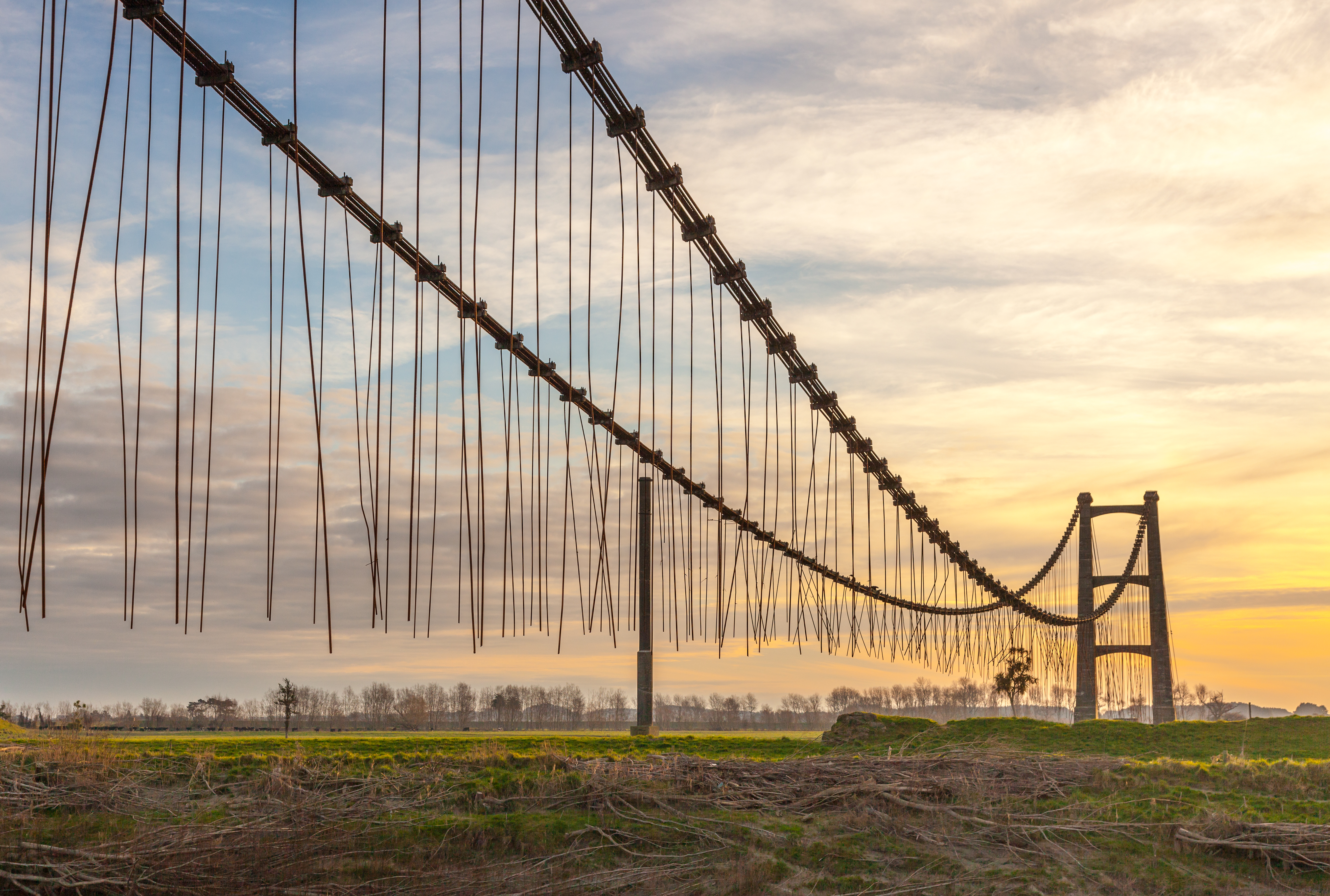
The Oroua River is a river of the southwestern North Island of New Zealand. Name The New Zealand Ministry for Culture and Heritage gives a translation of "place of dredging for shellfish" for . Description The Oroua River is a tributary of the Manawatu River, it flows generally southwestward from its source in the Ruahine Range. In its upper reaches, near the small town of Āpiti, the river passes through a deep gorge before emerging onto plains south of Kimbolton, New Zealand, Kimbolton. Near Feilding, the Oroua River is fed by the Makino and Kiwitea streams, which are both significant tributaries. The river passes along the eastern edge of Feilding, through Timona Park, where it is a popular local swimming spot. Beyond Feilding, the river feeds into the Manawatu River just to the west of Opiki (between Palmerston North and Shannon, New Zealand, Shannon). Water Quality Oroua River is in the bottom 25% of New Zealand's most polluted waterways. Some significant causes in ... [...More Info...] [...Related Items...] OR: [Wikipedia] [Google] [Baidu] |
Ruahine Ranges
The Ruahine Range is the largest of several mountain ranges in the North Island of New Zealand that form a ridge running parallel with the east coast of the island between East Cape and Wellington. The ridge is at its most pronounced from the central North Island down to Wellington, where it comprises the Ruahine, Tararua and Remutaka Ranges. The Ruahines run northeast–southwest for 110 kilometres from inland Hawke's Bay to near Woodville. It is separated in the south from the northern end of the Tararua Range by the Manawatu Gorge. The highest point in the Ruahines is Mangaweka, situated along the Hikurangi Range, which at 1733 metres (5686 feet) is the second highest non-volcanic mountainous peak in the North Island after Mt Hikurangi (1754 metres/5755 feet) in the Raukumara Range. The other notable peak is Wharite (920 metres/3017 feet), which visually marks the southern end-point of the Ruahine Range. The dominant geographical landmark in the Manawatu and Tarar ... [...More Info...] [...Related Items...] OR: [Wikipedia] [Google] [Baidu] |
Palmerston North
Palmerston North (; mi, Te Papa-i-Oea, known colloquially as Palmy) is a city in the North Island of New Zealand and the seat of the Manawatū-Whanganui region. Located in the eastern Manawatu Plains, the city is near the north bank of the Manawatu River, from the river's mouth, and from the end of the Manawatu Gorge, about north of the capital, Wellington. Palmerston North is the country's eighth-largest urban area, with an urban population of The official limits of the city take in rural areas to the south, north-east, north-west and west of the main urban area, extending to the Tararua Ranges; including the town of Ashhurst at the mouth of the Manawatu Gorge, the villages of Bunnythorpe and Longburn in the north and west respectively. The city covers a land area of . The city's location was once little more than a clearing in a forest and occupied by small communities of Māori, who called it ''Papa-i-Oea'', believed to mean "How beautiful it is". In the mid-1 ... [...More Info...] [...Related Items...] OR: [Wikipedia] [Google] [Baidu] |
The New Zealand Herald
''The New Zealand Herald'' is a daily newspaper published in Auckland, New Zealand, owned by New Zealand Media and Entertainment, and considered a newspaper of record for New Zealand. It has the largest newspaper circulation of all newspapers in New Zealand, peaking at over 200,000 copies in 2006, although circulation of the daily ''Herald'' had declined to 100,073 copies on average by September 2019. Its main circulation area is the Auckland region. It is also delivered to much of the upper North Island including Northland, Waikato and King Country. History ''The New Zealand Herald'' was founded by William Chisholm Wilson, and first published on 13 November 1863. Wilson had been a partner with John Williamson in the ''New Zealander'', but left to start a rival daily newspaper as he saw a business opportunity with Auckland's rapidly growing population. He had also split with Williamson because Wilson supported the war against the Māori (which the ''Herald'' termed "the ... [...More Info...] [...Related Items...] OR: [Wikipedia] [Google] [Baidu] |
Blue Duck
The blue duck or whio (''Hymenolaimus malacorhynchos'') is a member of the duck, goose and swan family Anatidae endemic to New Zealand. It is the only member of the genus ''Hymenolaimus''. Its exact taxonomic status is still unresolved, but it appears to be most closely related to the tribe Anatini, the dabbling ducks. The whio is depicted on the reverse side of the New Zealand $10 banknote. Taxonomy Captain James Cook saw the blue duck in Dusky Sound, South Island, New Zealand, on his second voyage to the south Pacific. In 1777 both Cook and the naturalist Georg Forster mentioned the blue duck in their separate accounts of the voyage. A specimen was described in 1785 by the English ornithologist John Latham in his ''A General Synopsis of Birds''. Latham used the English name, the "soft-billed duck". When in 1789 the German naturalist Johann Friedrich Gmelin revised and expanded Carl Linnaeus's ''Systema Naturae'' he included the blue duck and placed it with all the oth ... [...More Info...] [...Related Items...] OR: [Wikipedia] [Google] [Baidu] |
Turbidity
Turbidity is the cloudiness or haziness of a fluid caused by large numbers of individual particles that are generally invisible to the naked eye, similar to smoke in air. The measurement of turbidity is a key test of water quality. Fluids can contain suspended solid matter consisting of particles of many different sizes. While some suspended material will be large enough and heavy enough to settle rapidly to the bottom of the container if a liquid sample is left to stand (the settable solids), very small particles will settle only very slowly or not at all if the sample is regularly agitated or the particles are colloidal. These small solid particles cause the liquid to appear turbid. Turbidity (or haze) is also applied to transparent solids such as glass or plastic. In plastic production, haze is defined as the percentage of light that is deflected more than 2.5° from the incoming light direction. Causes and effects Turbidity in open water may be caused by growth of phyto ... [...More Info...] [...Related Items...] OR: [Wikipedia] [Google] [Baidu] |
Escherichia Coli
''Escherichia coli'' (),Wells, J. C. (2000) Longman Pronunciation Dictionary. Harlow ngland Pearson Education Ltd. also known as ''E. coli'' (), is a Gram-negative, facultative anaerobic, rod-shaped, coliform bacterium of the genus ''Escherichia'' that is commonly found in the lower intestine of warm-blooded organisms. Most ''E. coli'' strains are harmless, but some serotypes ( EPEC, ETEC etc.) can cause serious food poisoning in their hosts, and are occasionally responsible for food contamination incidents that prompt product recalls. Most strains do not cause disease in humans and are part of the normal microbiota of the gut; such strains are harmless or even beneficial to humans (although these strains tend to be less studied than the pathogenic ones). For example, some strains of ''E. coli'' benefit their hosts by producing vitamin K2 or by preventing the colonization of the intestine by pathogenic bacteria. These mutually beneficial relationships between ''E. col ... [...More Info...] [...Related Items...] OR: [Wikipedia] [Google] [Baidu] |
Resource Consent
A resource consent is the authorisation given to certain activities or uses of natural and physical resources required under the New Zealand Resource Management Act (the "RMA"). Some activities may either be specifically authorised by the RMA or be permitted activities authorised by rules in plans. Any activities that are not permitted by the RMA, or by a rule in a plan, require a resource consent before they are carried out. Definition and nature The term "resource consent" is defined as; * a permit to carry out an activity that would otherwise contravene a rule in a city or district plan. * a permission required for an activity that might affect the environment, and that isn't allowed 'as of right' in the district or regional plan. A resource consent, once granted to an applicant, is neither real nor personal property. Therefore, resource consents cannot be 'owned'; they are 'held' by 'consent holders'. Types A resource consent means any of the following: * land use consent ( ... [...More Info...] [...Related Items...] OR: [Wikipedia] [Google] [Baidu] |
Aorangi Railway Station
Aorangi railway station was a small station on the North Island Main Trunk in New Zealand. The station was opened in 1878; and closed on 10 August 1959 for passengers and 2 November 1987 for goods traffic. There is now only a single line through the station site. Te Araroa long distance walkway passes the station site. History By July 1876 the rails were in place, linking Palmerston North and Feilding, and ballasting was finished in September. The formal opening of the railway was on 19 October 1876. Charles Bull had a sawmill at Aorangi until about 1886. It had a private siding on the Feilding side of Aorangi from 1878, but there was a complaint about trains not stopping for passengers in 1883. By 1896 there was a shelter shed and passenger platform and also a cart approach by 1911. By 1959 there was still a shelter, platform and Borthwicks' private siding, which was the only source of local rail traffic after closure of the station on 10 August 1959. A 1949 aerial photo s ... [...More Info...] [...Related Items...] OR: [Wikipedia] [Google] [Baidu] |
Shannon, New Zealand
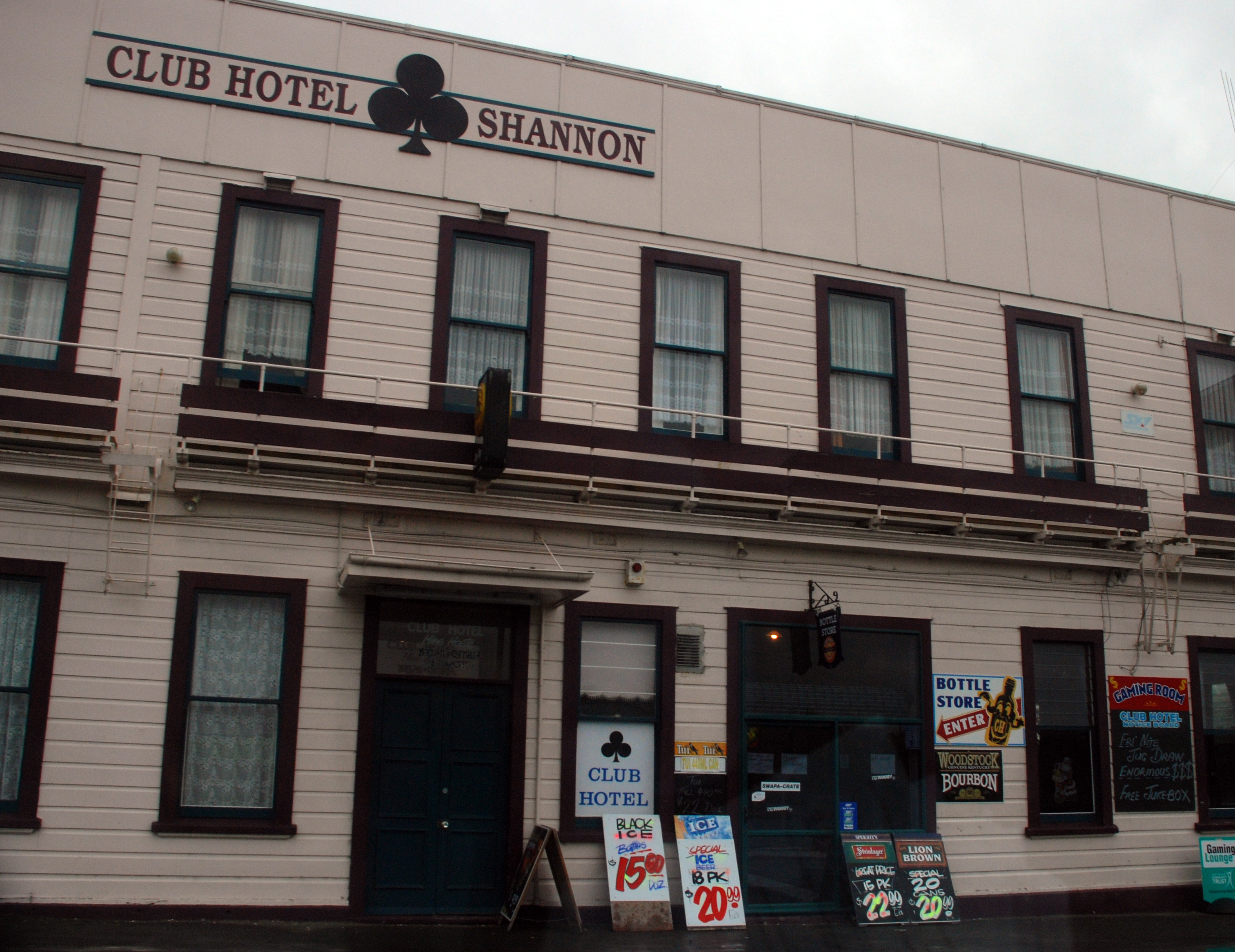
Shannon is a small town in the Horowhenua District of New Zealand's North Island. it is located 28 kilometres southwest of Palmerston North and 15 kilometres northeast of Levin. The main activities in the district are dairy, sheep, and mixed farming. Mangaore (5 kilometres east) is the residential township for the nearby Mangahao hydro-electric power station, which was the second power station to be built in New Zealand and the first to be built by the government. The power station is the oldest still supplying power to New Zealand grid. The Manawatu River lies to the west of the town. A large percentage of the population is Māori with the local primary school representing kaupapa Māori. History Shannon originally adjoined extensive swamps and was a headquarters for flax milling. The land on which the township later stood was part of an endowment of acquired about 1881 by the Wellington and Manawatu Railway Company (WMR). At first the company had intended to extend its ... [...More Info...] [...Related Items...] OR: [Wikipedia] [Google] [Baidu] |
Opiki
Opiki is a small rural settlement in the Horowhenua district of New Zealand's North Island. It is located on the floodplain of the Manawatu River, southwest of Palmerston North. Opiki and its surrounds had a population of 522 at the 2013 New Zealand census, an increase of 3 people since the 2006 census. There were 264 males and 261 females. Figures have been rounded and may not add up to totals. 92.6% were European/Pākehā, 7.4% were Māori, 2.5% were Pacific peoples and 3.1% were Asian. The New Zealand Ministry for Culture and Heritage The Ministry for Culture and Heritage (MCH; ) is the department of the New Zealand Government responsible for supporting the arts, culture, built heritage, sport and recreation, and broadcasting sectors in New Zealand and advising government on ... gives a translation of "place of climbing" for ''Ōpiki''. Education Opiki School is a co-educational full state primary school serving students from years 1 to 8, with a roll of as of Refer ... [...More Info...] [...Related Items...] OR: [Wikipedia] [Google] [Baidu] |
Feilding
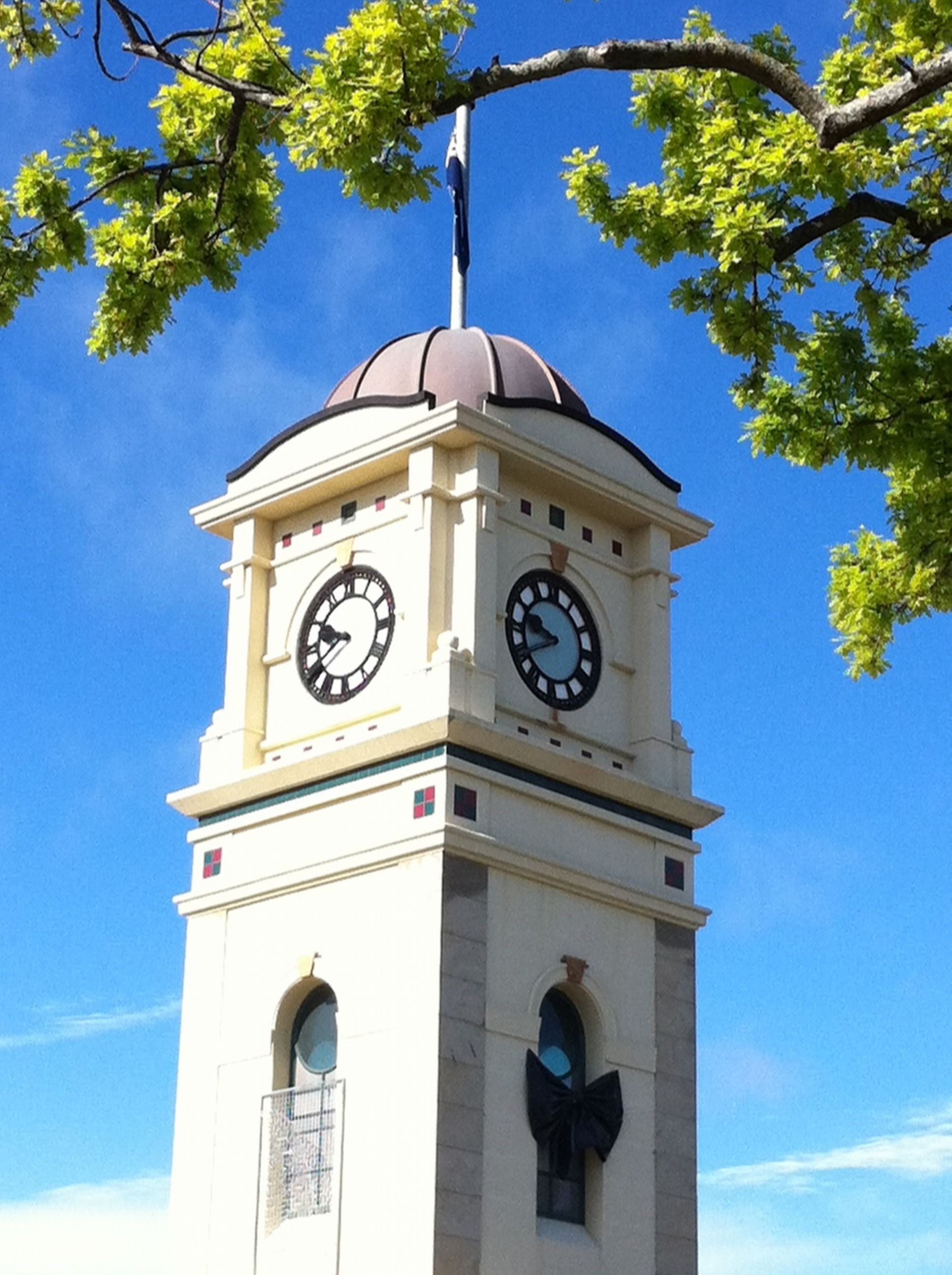
Feilding ( mi, Aorangi) is a town in the Manawatū District of the North Island of New Zealand. It is located on State Highway 54, 20 kilometres north of Palmerston North. The town is the seat of the Manawatū District Council. Feilding has won the annual New Zealand's Most Beautiful Town award 15 times. It is an Edwardian-themed town, with the district plan encouraging buildings in the CBD to be built in that style. The town is currently extending its CBD beautification featuring paving and planter boxes on the footpaths on the main streets in the CBD, including the realignment and beautification of Fergusson Street to the South Street entrance of Manfeild Park. The town is a service town for the surrounding farming district. The Feilding Saleyards has been a vital part of the wider Manawatū community for over 125 years. As transport systems improved and farming practices changed, the need for small, local saleyards all but disappeared, leaving few major selling complexes ... [...More Info...] [...Related Items...] OR: [Wikipedia] [Google] [Baidu] |
.jpg)


