|
Oroua County
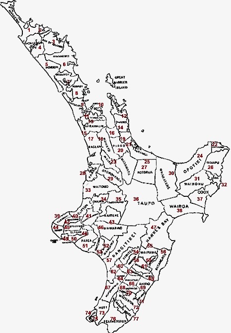
Oroua County was one of the counties of New Zealand in the North Island. Centred on the town of Feilding, it had an extent of just under 500 square kilometres. The county was first established in 1883, unilaterally declared as a protest against the local Manawatu County Council. It covered much of what is now Manawatu District as well as part of Palmerston North city, and the initially elected councillors stood on the platform of abolishing county administrative activities within the area. Activities were devolved to local town and road boards, and the county as an administrative entity became essentially non-existent. Over the following twenty years, several parts of Oroua had been reorganised into new counties (Kiwitea, Kairanga, and Pohangina). The rump of Oroua County (with the exception of Ashhurst, which was transferred to Palmerston North City Council) was reestablished officially in 1903. [...More Info...] [...Related Items...] OR: [Wikipedia] [Google] [Baidu] |
Logging Railway Track Through Bush At Pukepuke In Oroua County (21473734700)
Logging is the process of cutting, processing, and moving trees to a location for transport. It may include skidding, on-site processing, and loading of trees or logs onto trucks or skeleton cars. Logging is the beginning of a supply chain that provides raw material for many products societies worldwide use for housing, construction, energy, and consumer paper products. Logging systems are also used to manage forests, reduce the risk of wildfires, and restore ecosystem functions, though their efficiency for these purposes has been challenged. In forestry, the term logging is sometimes used narrowly to describe the logistics of moving wood from the stump to somewhere outside the forest, usually a sawmill or a lumber yard. In common usage, however, the term may cover a range of forestry or silviculture activities. Illegal logging refers to the harvesting, transportation, purchase, or sale of timber in violation of laws. The harvesting procedure itself may be illegal, includin ... [...More Info...] [...Related Items...] OR: [Wikipedia] [Google] [Baidu] |
Counties Of New Zealand
A system of counties of New Zealand was instituted after the country dissolved its provinces in 1876, and these counties were similar to other countries' systems, lasting with little change (except mergers and other localised boundary adjustments) until 1989, when they were reorganised into district and city councils within a system of larger regions. History The Counties Bill of 1876 was initiated to merge 314 road boards into 39 counties. However, as a result of lobbying the number of counties had grown to 63 by the time the bill was enacted. They had chairmen, not mayors as boroughs and cities had; many legislative provisions (such as burial and land subdivision control) were different for the counties. By 1966, there were 112 counties. During the second half of the 20th century, many counties received overflow population from nearby cities. The result was often a merger of the two into a "district" (e.g., Rotorua) or a change of name to "district" (e.g., Waimairi) or "c ... [...More Info...] [...Related Items...] OR: [Wikipedia] [Google] [Baidu] |
North Island
The North Island, also officially named Te Ika-a-Māui, is one of the two main islands of New Zealand, separated from the larger but much less populous South Island by the Cook Strait. The island's area is , making it the world's 14th-largest island. The world's 28th-most-populous island, Te Ika-a-Māui has a population of accounting for approximately % of the total residents of New Zealand. Twelve main urban areas (half of them officially cities) are in the North Island. From north to south, they are Whangārei, Auckland, Hamilton, Tauranga, Rotorua, Gisborne, New Plymouth, Napier, Hastings, Whanganui, Palmerston North, and New Zealand's capital city Wellington, which is located at the south-west tip of the island. Naming and usage Although the island has been known as the North Island for many years, in 2009 the New Zealand Geographic Board found that, along with the South Island, the North Island had no official name. After a public consultation, the board officially ... [...More Info...] [...Related Items...] OR: [Wikipedia] [Google] [Baidu] |
Feilding
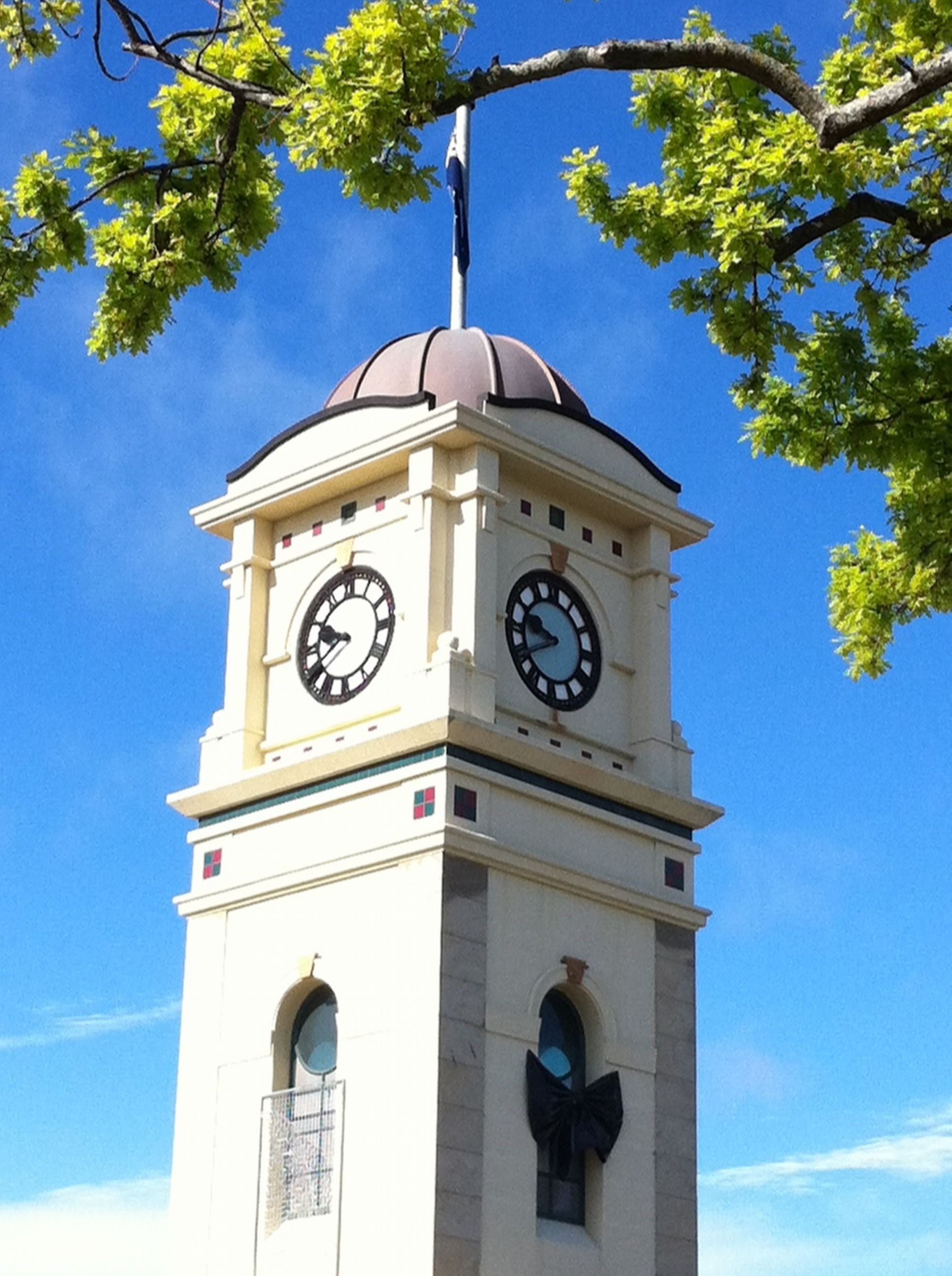
Feilding ( mi, Aorangi) is a town in the Manawatū District of the North Island of New Zealand. It is located on State Highway 54, 20 kilometres north of Palmerston North. The town is the seat of the Manawatū District Council. Feilding has won the annual New Zealand's Most Beautiful Town award 15 times. It is an Edwardian-themed town, with the district plan encouraging buildings in the CBD to be built in that style. The town is currently extending its CBD beautification featuring paving and planter boxes on the footpaths on the main streets in the CBD, including the realignment and beautification of Fergusson Street to the South Street entrance of Manfeild Park. The town is a service town for the surrounding farming district. The Feilding Saleyards has been a vital part of the wider Manawatū community for over 125 years. As transport systems improved and farming practices changed, the need for small, local saleyards all but disappeared, leaving few major selling complexes ... [...More Info...] [...Related Items...] OR: [Wikipedia] [Google] [Baidu] |
Manawatū District
Manawatū District is a territorial authority district in the Manawatū-Whanganui local government region in the North Island of New Zealand, administered by Manawatū District Council. It includes most of the area between the Manawatū River in the south and the Rangitīkei River in the north, stretching from slightly south of the settlement of Himatangi in the south, to just south of Mangaweka in the north, and from the Rangitīkei River to the top of the Ruahine Range in the east. It does not include the Foxton area and the mouth of the Manawatū River, or Palmerston North City (which includes Ashhurst). Its main town is Feilding. The district has an area of 2,624 km². Name and geography Manawatū is said to have been named by Hau, a great Māori explorer. As he pursued his wife, who had left him for another lover, along the south west coast of the North Island, he came across and named river mouths, including Whanganui, Whangaehu and Rangitīkei according to events ... [...More Info...] [...Related Items...] OR: [Wikipedia] [Google] [Baidu] |
Palmerston North
Palmerston North (; mi, Te Papa-i-Oea, known colloquially as Palmy) is a city in the North Island of New Zealand and the seat of the Manawatū-Whanganui region. Located in the eastern Manawatu Plains, the city is near the north bank of the Manawatu River, from the river's mouth, and from the end of the Manawatu Gorge, about north of the capital, Wellington. Palmerston North is the country's eighth-largest urban area, with an urban population of The official limits of the city take in rural areas to the south, north-east, north-west and west of the main urban area, extending to the Tararua Ranges; including the town of Ashhurst at the mouth of the Manawatu Gorge, the villages of Bunnythorpe and Longburn in the north and west respectively. The city covers a land area of . The city's location was once little more than a clearing in a forest and occupied by small communities of Māori, who called it ''Papa-i-Oea'', believed to mean "How beautiful it is". In the mid-1 ... [...More Info...] [...Related Items...] OR: [Wikipedia] [Google] [Baidu] |
Ashhurst
Ashhurst ( mi, Whārite) is a town and outlying suburb of Palmerston North, in the Manawatū-Whanganui region of New Zealand's North Island. Location Ashhurst is sited 14 kilometres northeast of the Palmerston North city centre. The town stands under the Ruahine Ranges, beneath Wharite Peak, which is the most notable peak on the south end of the Ruahine Range, upon which is the television and radio transmitter. Demographics Ashhurst, which covers , had a population of 2,934 at the 2018 New Zealand census, an increase of 285 people (10.8%) since the 2013 census, and an increase of 501 people (20.6%) since the 2006 census. There were 1,074 households. There were 1,428 males and 1,506 females, giving a sex ratio of 0.95 males per female. The median age was 35.9 years (compared with 37.4 years nationally), with 726 people (24.7%) aged under 15 years, 492 (16.8%) aged 15 to 29, 1,320 (45.0%) aged 30 to 64, and 396 (13.5%) aged 65 or older. Ethnicities were 89.0% European/Pā ... [...More Info...] [...Related Items...] OR: [Wikipedia] [Google] [Baidu] |
1989 Local Government Reforms
The 1989 New Zealand local government reform was the most significant reform of local government in New Zealand in over a century. Some 850 local bodies were amalgamated into 86 local authorities, made up of regional and territorial levels. Background The last major local government reform was carried out through the abolition of provincial government. With effect of 1 January 1877, local government was vested in elected borough and county councils. The Counties Bill of 1876 created 63 counties out of the rural parts of the former provinces. Over the years, many new bodies were set up. Some of these bodies were multi-purpose, whilst others (for example harbour boards) were single-purpose. The Local Government Act 1974 consolidated the previous law relating to local government that applied to territorial local authorities, regional and district council bodies. It enabled the establishment of regional councils, but these were not established until the 1989 reform. History The Labo ... [...More Info...] [...Related Items...] OR: [Wikipedia] [Google] [Baidu] |
List Of Counties Of New Zealand
This is a list of former territorial authorities in New Zealand. "Territorial authority" is the generic term used for local government entities in New Zealand. Local government has gone through three principal phases with different structures: the provincial era, from 1853 to 1876; the counties and boroughs system from 1876 until 1989; and the current system of regions, cities and districts. This article attempts to list all territorial authorities which have been disestablished. Provincial era (until 1876) The original three provinces were established in 1841 by Royal Charter. The New Zealand Constitution Act 1846 reduced the number of provinces to two. The New Zealand Constitution Act 1852 re-divided New Zealand into six provinces, and four additional provinces emerged during the remainder of the Provincial Era. This era came to end with the Abolition of Provinces Act 1876. Post-provincial era (1876–1989) After New Zealand abolished its provinces in 1876, a system of ... [...More Info...] [...Related Items...] OR: [Wikipedia] [Google] [Baidu] |
Counties Of New Zealand
A system of counties of New Zealand was instituted after the country dissolved its provinces in 1876, and these counties were similar to other countries' systems, lasting with little change (except mergers and other localised boundary adjustments) until 1989, when they were reorganised into district and city councils within a system of larger regions. History The Counties Bill of 1876 was initiated to merge 314 road boards into 39 counties. However, as a result of lobbying the number of counties had grown to 63 by the time the bill was enacted. They had chairmen, not mayors as boroughs and cities had; many legislative provisions (such as burial and land subdivision control) were different for the counties. By 1966, there were 112 counties. During the second half of the 20th century, many counties received overflow population from nearby cities. The result was often a merger of the two into a "district" (e.g., Rotorua) or a change of name to "district" (e.g., Waimairi) or "c ... [...More Info...] [...Related Items...] OR: [Wikipedia] [Google] [Baidu] |


.jpg)

