|
Ohre
The Ohre is a river in northern Germany, left tributary to the Elbe. Its total length is . Its source is north of Wolfsburg, in Lower Saxony. It flows generally south-east, at first following the border of Lower Saxony and Saxony-Anhalt. After Buchhorst it flows completely through Saxony-Anhalt, along the Mittellandkanal. It flows into the Elbe in Rogätz, north of Magdeburg. The towns Brome, Calvörde, Haldensleben and Wolmirstedt lie along the river. The upper course of the Ohre is in the Drömling nature reserve. Between the end of the Second World War and German reunification, the Ohre separated East from West Germany and so formed part of the Inner German border. See also *List of rivers of Lower Saxony *List of rivers of Saxony-Anhalt A list of rivers of Saxony-Anhalt, Germany: A * Aland *Aller * Allerbach, tributary of the Rappbode (Rappbode Auxiliary Dam) * Allerbach, tributary of the Warme Bode * Alte Elbe B * Bauerngraben * Beber *Biese *Black Elster * Bode * Bor ... [...More Info...] [...Related Items...] OR: [Wikipedia] [Google] [Baidu] |
Drömling
Drömling is a sparsely populated depression on the border of Lower Saxony and Saxony-Anhalt in Germany with an area of about . The larger part belonging to Saxony-Anhalt in the east has been a nature park since 1990. The former swampland was transformed by drainage from a natural into a cultural landscape in the 18th century under the direction of Frederick the Great of Prussia. Today the depression, with its waterways, the Mittelland Canal and the rivers Aller and Ohre is a refuge for rare or endangered species of animal and plant. Most of the area is now made up of nature reserves and protected areas. Nearby towns include Oebisfelde and Wolfsburg. Location Drömling lies in a flat hollow measuring about 15 to 20 kilometres across and surrounding by a 60-metre contour. It is a wider section of the Breslau-Magdeburg-Bremen glacial valley. In broad terms it stretches from Wolfsburg-Vorsfelde in the west to Calvörde in the east and from Klötze in the north to Oebisfelde in t ... [...More Info...] [...Related Items...] OR: [Wikipedia] [Google] [Baidu] |
Calvörde
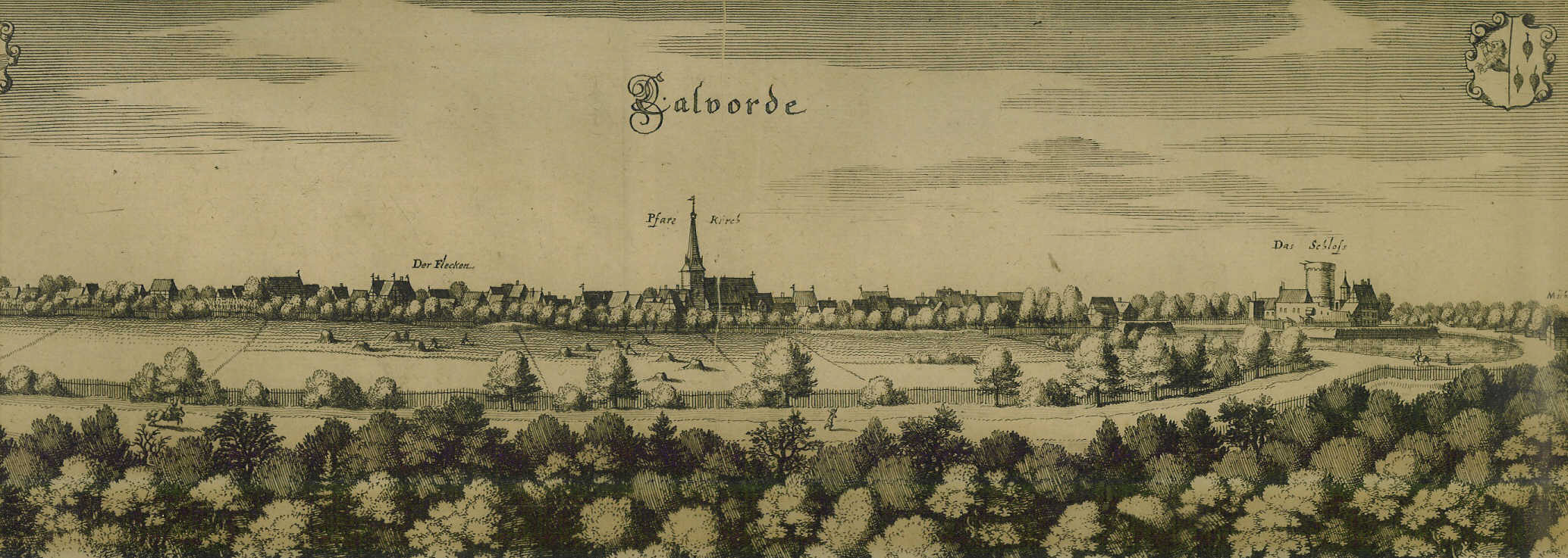
Calvörde () is a municipality in the Börde district of Saxony-Anhalt, Germany. It is part of the Verbandsgemeinde ("collective municipality") Flechtingen. Geography Calvörde is situated approximately northwest of Haldensleben and northwest of the state capital Magdeburg. It is located between the Drömling range in the west and the Flechtingen Hills in the south. In the north, it borders on Gardelegen in the Altmarkkreis Salzwedel district. The main settlement Calvörde proper lies between the Ohre River and the parallel Midland Canal. The municipal area comprises 11 localities (''Ortsteile''):Hauptsatzung der Gemeinde Calvörde July 2014. * |
List Of Rivers Of Saxony-Anhalt
A list of rivers of Saxony-Anhalt, Germany: A * Aland *Aller * Allerbach, tributary of the Rappbode (Rappbode Auxiliary Dam) * Allerbach, tributary of the Warme Bode * Alte Elbe B * Bauerngraben * Beber *Biese *Black Elster * Bode * Born-Dorster-Bäk *Böse Sieben * Braunes Wasser *Bremke * Brumbach * Brummeckebach * Büschengraben C * Cositte D *Dammbach * Dosse E *Ecker * Ehle *Eine *Elbe * Ellerbach * Eulegraben F * Fleischbach * Friedenstalbach * Fuhne G * Geisel * Glasebach, tributary of the Bauerngraben * Glasebach, tributary of the Selke * Goldbach * Gonna * Große Sülze * Große Wilde *Großer Graben and Schiffgraben * Großer Uhlenbach H * Hadeborn *Hagenbach * Harsleber Bach * Hassel *Havel *Helme *Holtemme I * Ihle * Ilse *Ise J * Jagdhausbach *Jäglitz *Jeetzel K * Kabelske *Kalte Bode *Katzsohlbach * Klare Grete * Kleine Sülze *Klinke * Krebsbach L *Laweke *Leine, tributary of the Eine *Leine, tributary of the Helme * Lober * Lossa * Lude * Luppbode * Lup ... [...More Info...] [...Related Items...] OR: [Wikipedia] [Google] [Baidu] |
Wolmirstedt
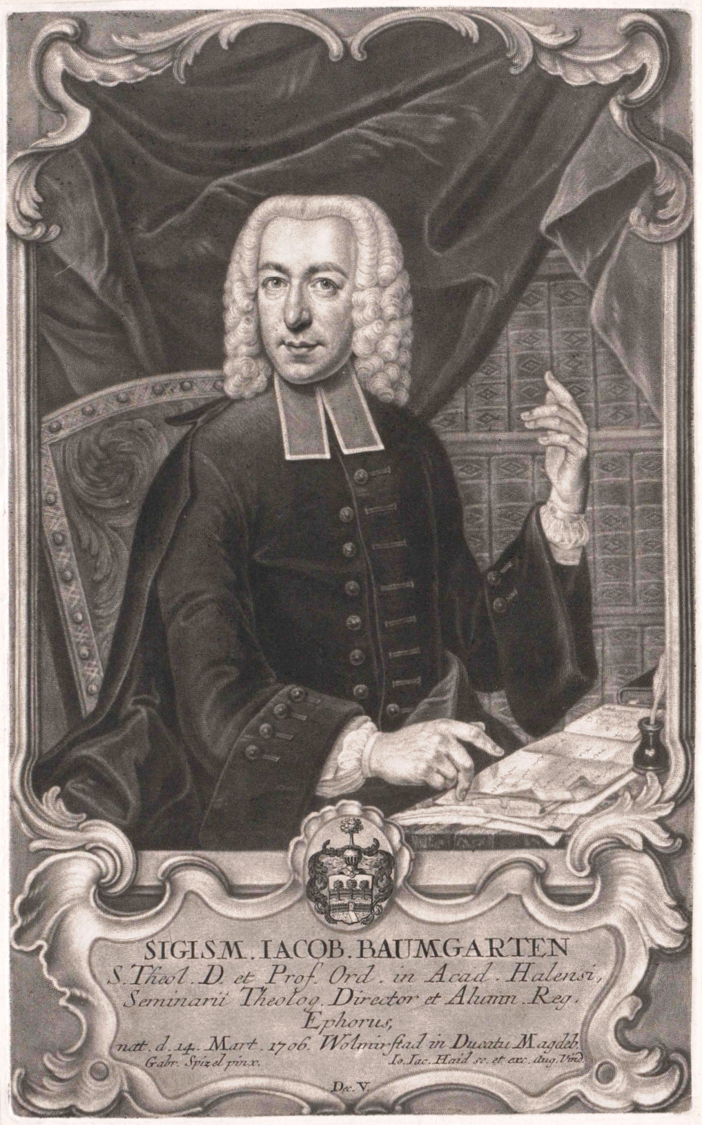
Wolmirstedt () is a town in the Börde district in Saxony-Anhalt, Germany. It is located 14 km north of Magdeburg, on the river Ohre. The town Wolmirstedt consists of Wolmirstedt proper and the ''Ortschaften'' (municipal divisions) Elbeu, Farsleben, Glindenberg and Mose.Hauptsatzung der Stadt Wolmirstedt May 2020. History *1009 first documentary mention *1274 Ruthger appointed of Wolmirstedt *1348 the Emperor Charles IV stays in the town; issues decree releasing the burghers o ...[...More Info...] [...Related Items...] OR: [Wikipedia] [Google] [Baidu] |
Brome, Germany
Brome is a municipality in the district of Gifhorn, in Lower Saxony, Germany. It is situated on the river Ohre, approx. 25 km northeast of Wolfsburg. The municipality consists of the following villages: * Altendorf * Benitz * Brome * Wiswedel * Zicherie Brome is also the seat of the ''Samtgemeinde Brome Samtgemeinde Brome is a Samtgemeinde in the district of Gifhorn, in Lower Saxony, Germany. It is situated approximately 20 km north-east of Gifhorn and 10 km north of Wolfsburg Wolfsburg (; Eastphalian: ''Wulfsborg'') is the fifth ...'' ("collective municipality"). Brome Burg 2014.JPG, Castle Brome Rathaus.JPG, Town hall Brome Liebfrauenkirche.JPG, Lutheran church Brome Ohresee.JPG, Lake ''Ohresee'' Altendorf Brome.JPG, Lutheran church in Altendorf References Gifhorn (district) {{Gifhorn-geo-stub ... [...More Info...] [...Related Items...] OR: [Wikipedia] [Google] [Baidu] |
Magdeburg
Magdeburg (; nds, label=Low Saxon, Meideborg ) is the capital and second-largest city of the German state Saxony-Anhalt. The city is situated at the Elbe river. Otto I, the first Holy Roman Emperor and founder of the Archdiocese of Magdeburg, was buried in the city's cathedral after his death. Magdeburg's version of German town law, known as Magdeburg rights, spread throughout Central and Eastern Europe. In the Late Middle Ages, Magdeburg was one of the largest and most prosperous German cities and a notable member of the Hanseatic League. One of the most notable people from the city is Otto von Guericke, famous for his experiments with the Magdeburg hemispheres. Magdeburg has been destroyed twice in its history. The Catholic League sacked Magdeburg in 1631, resulting in the death of 25,000 non-combatants, the largest loss of the Thirty Years' War. During the World War II the Allies bombed the city in 1945 and destroying much of it. After World War II the city belonged t ... [...More Info...] [...Related Items...] OR: [Wikipedia] [Google] [Baidu] |
List Of Rivers Of Lower Saxony
All rivers in the German state of Lower Saxony flow directly or indirectly into the North Sea. A–Z A B D E F G H I J K L M N O P * Purrmühlenbach R S T *Tiefenbeek *Trillkebach *Trutenbeek * Twiste U * Uffe *Ulrichswasser *Unterelbe V W Z *Zellbach * Zorge By basin This list uses bullets and indents to show the rivers' hierarchy and the sequence from river mouth to source. The number of indents corresponds to the river's position in the sequence. Tributaries are shown orographically as either a left (l) or a right (r) tributary of the next waterway in the downstream direction. Elbe * Elbe (, into the North Sea) ** Medem (l) *** Emmelke ** Oste (l) (153 km) *** Aue (tributary of the Oste) (l) (14 km) *** Mehe (l) *** Bever (r) *** Twiste (r) *** Ramme (r) ** Schwinge (l) ** Lühe (l) *** Aue (tributary of the Elbe) (26 km) ** Este (l) ** Seeve (l) (40 km) ** Ilmenau (l) (107 km) *** Luhe (l) (58 km) *** Neetze ... [...More Info...] [...Related Items...] OR: [Wikipedia] [Google] [Baidu] |
Haldensleben
Haldensleben (; Eastphalian: ''Halslä'') is a town in Saxony-Anhalt, Germany. It is the administrative seat of the Börde district. Geography It is situated on the Ohre river, near the confluence with its Beber tributary, and the parallel Mittelland Canal, running from the fertile Magdeburg Börde basin to the Elbe river in the east. The town centre is located approximately northwest from Magdeburg. It is connected by railway to the neighbouring towns of Magdeburg, Oebisfelde and Eilsleben. The municipal area includes the village of Süplingen, incorporated in 2014. Prehistory In Haldensleben Forest, south-west of the town, is a group of more than 80 megalithic tombs of the Neolithic Age, the largest such group in central Europe. History The Saxon fortress of ''hahaldeslevo'' in Eastphalia was first mentioned in a 966 deed of donation issued by Emperor Otto I. The Counts of Haldensleben rose to considerable power, most notably Dietrich and William, who ruled as margraves ... [...More Info...] [...Related Items...] OR: [Wikipedia] [Google] [Baidu] |
Elbe
The Elbe (; cs, Labe ; nds, Ilv or ''Elv''; Upper and dsb, Łobjo) is one of the major rivers of Central Europe. It rises in the Giant Mountains of the northern Czech Republic before traversing much of Bohemia (western half of the Czech Republic), then Germany and flowing into the North Sea at Cuxhaven, northwest of Hamburg. Its total length is . The Elbe's major tributaries include the rivers Vltava, Saale, Havel, Mulde, Schwarze Elster, and Ohře. The Elbe river basin, comprising the Elbe and its tributaries, has a catchment area of , the twelfth largest in Europe. The basin spans four countries, however it lies almost entirely just in two of them, Germany (65.5%) and the Czech Republic (33.7%, covering about two thirds of the state's territory). Marginally, the basin stretches also to Austria (0.6%) and Poland (0.2%). The Elbe catchment area is inhabited by 24.4 million people, the biggest cities within are Berlin, Hamburg, Prague, Dresden and Leipzig. Etymology Firs ... [...More Info...] [...Related Items...] OR: [Wikipedia] [Google] [Baidu] |
Mittellandkanal
The Mittelland Canal, also known as the Midland Canal, (german: Mittellandkanal, ) is a major canal in central Germany. It forms an important link in the waterway network of that country, providing the principal east-west inland waterway connection. Its significance goes beyond Germany as it links France, Switzerland and the Benelux countries with Poland, the Czech Republic and the Baltic Sea. At in length,Elwis database WSD Mitte an WSD Ost the Mittelland Canal is the longest artificial waterway in Germany. Route The Mittelland Canal branches off the[...More Info...] [...Related Items...] OR: [Wikipedia] [Google] [Baidu] |
Rogätz
Rogätz is a municipality in the Börde district in Saxony-Anhalt, Germany. It is located on the left bank of the river Elbe The Elbe (; cs, Labe ; nds, Ilv or ''Elv''; Upper and dsb, Łobjo) is one of the major rivers of Central Europe. It rises in the Giant Mountains of the northern Czech Republic before traversing much of Bohemia (western half of the Czech Re ..., and is linked to Schartau by the Rogätz Ferry. References Börde (district) {{Börde-geo-stub ... [...More Info...] [...Related Items...] OR: [Wikipedia] [Google] [Baidu] |
Oebisfelde
Oebisfelde () is a town and a former municipality in the Börde district in Saxony-Anhalt, Germany. Since 1 January 2010, it is part of the town Oebisfelde-Weferlingen. It is accessed by Bundesstraße (German federal highway) 188. Geography Oebisfelde is in the Altmark/Magdeburg Börde area. It borders on Lower Saxony, across the Aller river. East of Oebisfelde is the Drömling Nature Park. Subdivisions * Bergfriede * Breitenrode * Buchhorst * Gehrendorf * Lockstedt * Niendorf * Wassensdorf * Weddendorf History Between 1945 and 1990 the Oebisfelde railway station served as an East German inner German border crossing for rail transport. In Oebisfelde's component village of Buchhorst there was an East German border crossing for inland navigation on the Mittellandkanal, only open for freight vessels. The traffic between the Soviet Zone of occupation in Germany (until 1949, thereafter the East German Democratic Republic, or West Berlin and the British zone of occupation) and Fe ... [...More Info...] [...Related Items...] OR: [Wikipedia] [Google] [Baidu] |


