|
Ohio River Bridges Project
The Ohio River Bridges Project was a transportation project in the Louisville metropolitan area involving the reconstruction of the Kennedy Interchange (locally known as "Spaghetti Junction"), the completion of two new Ohio River bridges, and the reconstruction of ramps on Interstate 65 between Muhammad Ali Boulevard and downtown Louisville. The Abraham Lincoln Bridge, opened December 2015, is located downtown and slightly upstream from the John F. Kennedy Memorial Bridge that had been completed in 1963. It carries northbound traffic on Interstate 65. The other, the Lewis and Clark Bridge (called the East End Bridge during planning), opened in December 2016 and connects the Indiana and Kentucky segments of I-265 between Prospect, Kentucky, and Utica, Indiana. On July 26, 2002, the two governors of Kentucky and Indiana announced that the East End Bridge would be constructed, along with a new I-65 downtown span and a reconstructed Kennedy Interchange, where three interstates conne ... [...More Info...] [...Related Items...] OR: [Wikipedia] [Google] [Baidu] |
Louisville Metropolitan Area
The Louisville metropolitan area is the 43rd largest metropolitan statistical area (MSA) in the United States. It had a population of 1,395,855 in 2020 according to the latest official census, and its principal city is Louisville, Kentucky. The metropolitan area was originally formed by the United States Census Bureau in 1950 and consisted of the Kentucky county of Jefferson and the Indiana counties of Clark and Floyd. As surrounding counties saw an increase in their population densities and the number of their residents employed within Jefferson County, they met Census criteria to be added to the MSA. Jefferson County, Kentucky, plus eleven outlying countiesseven in Kentucky and four in Southern Indianaare now a part of this MSA. Two other counties, one each in Kentucky and Indiana, were part of the MSA in the 2000 and 2010 U.S. Censuses, but were spun off by the Census Bureau into their own Micropolitan Statistical Areas in 2013 and 2018 respectively. The formal name given ... [...More Info...] [...Related Items...] OR: [Wikipedia] [Google] [Baidu] |
George Rogers Clark Memorial Bridge
The George Rogers Clark Memorial Bridge, known locally as the Second Street Bridge, is a four-lane cantilevered truss bridge crossing the Ohio River between Louisville, Kentucky and Jeffersonville, Indiana, that carries US 31. History Debate to build a highway bridge connecting Louisville to Jeffersonville began in 1919. Both cities and the public were in favor of building the bridge, but how to fund the project was unclear. In 1926 a ballot measure was voted down by residents which would have allowed the government to fund the bridge construction. A similar measure to fund the bridge construction with municipal insured bonds was voted down shortly after. Officials finally agreed to authorize a private company to construct the bridge using private funds, and they were granted authority to toll the bridge to recoup their investment. The bridge was designed by Ralph Modjeski and Frank Masters with architectural details handled by Paul Philippe Cret of Philadelphia. Construction ... [...More Info...] [...Related Items...] OR: [Wikipedia] [Google] [Baidu] |
Cable-stayed Bridge
A cable-stayed bridge has one or more ''towers'' (or ''pylons''), from which cables support the bridge deck. A distinctive feature are the cables or stays, which run directly from the tower to the deck, normally forming a fan-like pattern or a series of parallel lines. This is in contrast to the modern suspension bridge, where the cables supporting the deck are suspended vertically from the main cable, anchored at both ends of the bridge and running between the towers. The cable-stayed bridge is optimal for spans longer than cantilever bridges and shorter than suspension bridges. This is the range within which cantilever bridges would rapidly grow heavier, and suspension bridge cabling would be more costly. Cable-stayed bridges were being designed and constructed by the late 16th century, and the form found wide use in the late 19th century. Early examples, including the Brooklyn Bridge, often combined features from both the cable-stayed and suspension designs. Cable-stayed ... [...More Info...] [...Related Items...] OR: [Wikipedia] [Google] [Baidu] |
Jeffersonville, Indiana
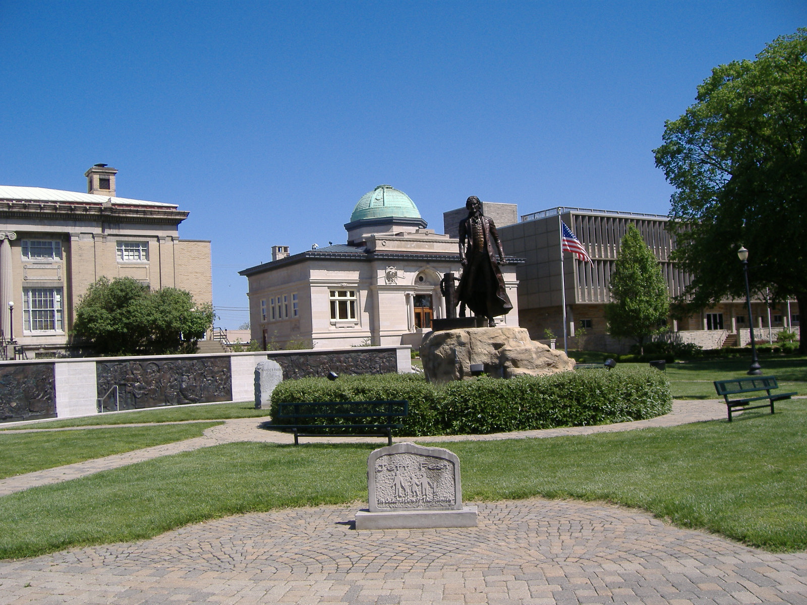
Jeffersonville is a city and the county seat of Clark County, Indiana, Clark County, Indiana, United States, situated along the Ohio River. Locally, the city is often referred to by the abbreviated name Jeff. It lies directly across the Ohio River to the north of Louisville, Kentucky, along Interstate 65 in Kentucky, I-65. The population was 49,447 at the 2020 United States census, 2020 census. Jeffersonville began its existence as a settlement around Fort Finney after 1786 and was named after Thomas Jefferson in 1801, the year he took office. History 18th century Pre-founding The foundation for what would become Jeffersonville began in 1786 when Fort Finney was established near where the John F. Kennedy Memorial Bridge, Kennedy Bridge is today. United States Army, U.S. Army planners chose the location for its view of a nearby bend in the Ohio River, which offered a strategic advantage in the protection of settlers from Native Americans in the United States, Native America ... [...More Info...] [...Related Items...] OR: [Wikipedia] [Google] [Baidu] |
WDRB
WDRB (channel 41) is a television station in Louisville, Kentucky, United States, affiliated with the Fox network. It is owned by Block Communications alongside Salem, Indiana–licensed dual CW/MyNetworkTV affiliate WBKI (channel 58). Both stations share studios on West Muhammad Ali Boulevard (near US 150) in downtown Louisville, while WDRB's transmitter is located in rural northeastern Floyd County, Indiana (northeast of Floyds Knobs). History As an independent station The first construction permit for channel 41 in Louisville was issued in 1953 to Robert Rounsaville, owner of WLOU (1350 AM), Louisville's first Black-oriented radio station. The station, if built, would have been the first Black-oriented TV station in the country. However, the construction of WQXL-TV depended on the success of the first of three planned stations, Atlanta's WQXI-TV, which failed and left the air in 1955. The permit remained active for several more years; the call letters were changed to WTA ... [...More Info...] [...Related Items...] OR: [Wikipedia] [Google] [Baidu] |
Interstate 71
Interstate 71 (I-71) is a north–south Interstate Highway in the Great Lakes/Midwestern and Southeastern region of the United States. Its southern terminus is at an interchange with I-64 and I-65 (the Kennedy Interchange) in Louisville, Kentucky, and its northern terminus at an interchange with I-90 in Cleveland, Ohio. I-71 runs concurrently with I-75 from a point about south of Cincinnati, Ohio, into Downtown Cincinnati. While most odd numbered Interstates are north–south, I-71 however is designated more of a northeast–southwest highway, with some east–west sections, and is mainly a regional route, serving Kentucky and Ohio. It links I-80 and I-90 to I-70, and ultimately (via I-65) links to I-40. Major metropolitan areas served by I-71 include Louisville, Cincinnati, Columbus, and Cleveland. Approximately three quarters of the route lie east of I-75, leaving I-71 out of place in the Interstate grid. Route description , - , KY , , - , OH , , - , Total , Kent ... [...More Info...] [...Related Items...] OR: [Wikipedia] [Google] [Baidu] |
Super-two
A super two, super two-lane highway or wide two-lane is a two-lane surface road built to highway standards with wide lanes and other safety features normally present on a freeway with more lanes, typically including partial control of access, occasional passing lanes and hard shoulders. It is often built for eventual conversion to freeway or at least divided-highway status once traffic volumes rise. Super twos have also been employed because of environmental concerns, such as where Interstate 93 becomes a super two in Franconia Notch, New Hampshire, United States. Ireland In the Republic of Ireland, the term ''wide two-lane'' is used by the National Roads Authority. In policy documents, the designation WS2 is used, which is also used in the UK for a wide single carriageway. Wide two-lane roads are common on national roads, both on less important but medium-capacity routes, and on more important routes not yet upgraded to dual carriageway or motorway. Wide two-lane roads in th ... [...More Info...] [...Related Items...] OR: [Wikipedia] [Google] [Baidu] |
Kentucky Transportation Cabinet
The Kentucky Transportation Cabinet (KYTC) is Kentucky's state-funded agency charged with building and maintaining federal highways and Kentucky state highways, as well as regulating other transportation related issues. The Transportation Cabinet is led by the Kentucky Secretary of Transportation, who is appointed by the governor of Kentucky. The current Secretary is Jim Gray, who was appointed by Democratic Governor Andy Beshear. As of October 2012, KYTC maintains of roadways in the state. The KYTC mission statement is "To provide a safe, efficient, environmentally sound and fiscally responsible transportation system that delivers economic opportunity and enhances the quality of life in Kentucky." Organization The Transportation Cabinet is composed of four operating Departments, headed by Commissioners, and ten support offices, headed by Executive Directors. Those units are subdivided into Divisions headed by Directors. *Secretary **Deputy Secretary ***Office of the Secr ... [...More Info...] [...Related Items...] OR: [Wikipedia] [Google] [Baidu] |
Frank O'Bannon
Frank Lewis O'Bannon (January 30, 1930 – September 13, 2003) was an American politician who served as the 47th governor of Indiana from 1997 until his death in 2003. As of October 2022, he remains the most recent United States Governor to have died in office. O'Bannon was a native of Corydon, Indiana. He graduated from Corydon High School (now Corydon Central High School) in 1948 and then Indiana University, where he met his wife Judy. In Corydon, he served as a practicing attorney and a newspaper publisher for ''The Corydon Democrat'' before his entrance into the political arena. A Democrat, O'Bannon was first elected to the Indiana Senate in 1969. He eventually became one of the body's most prominent members. O'Bannon ran for Governor of Indiana in 1988; however, instead of facing a hotly competitive primary, O'Bannon dropped out of the race and became the running mate of Evan Bayh. The Bayh/O'Bannon ticket was successful, and O'Bannon served in the role of lieutenant gov ... [...More Info...] [...Related Items...] OR: [Wikipedia] [Google] [Baidu] |
Jefferson County, Kentucky
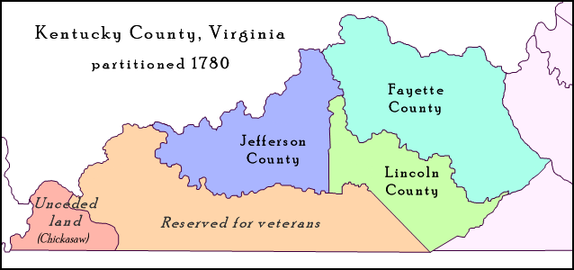
Jefferson County is located in the north central portion of the U.S. state of Kentucky. As of the 2020 census, the population was 782,969. It is the most populous county in the commonwealth (with more than twice the population of second ranked Fayette County). Since a city-county merger in 2003, the county's territory, population and government have been coextensive with the city of Louisville, which also serves as county seat. The administrative entity created by this merger is the Louisville/Jefferson County Metro Government, abbreviated to Louisville Metro. Jefferson County is the anchor of the Louisville-Jefferson County, KY-IN Metropolitan Statistical Area, locally referred to as Kentuckiana. History Jefferson County—originally Jefferson County, Virginia—was established by the Virginia General Assembly in June 1780, when it abolished and partitioned Kentucky County into three counties: Fayette, Jefferson and Lincoln. Named for Thomas Jefferson, who was governor ... [...More Info...] [...Related Items...] OR: [Wikipedia] [Google] [Baidu] |
Clark County, Indiana
Clark County is a county in the U.S. state of Indiana, located directly across the Ohio River from Louisville, Kentucky. At the 2020 census, the population was 121,093. The county seat is Jeffersonville. Clark County is part of the Louisville/Jefferson County, KY–IN Metropolitan Statistical Area. History Clark County lies on the north bank of the Ohio River. A significant gateway to the state of Indiana, Clark County's settlement began in 1783. The state of Virginia rewarded General George Rogers Clark and his regiment for their victorious capture of Forts Kaskaskia, Cahokia, and Vincennes from the British, by granting them of land. A small portion of this land, , became known as Clarksville, the first authorized American settlement in the Northwest Territory, founded the next year in 1784. Clark County Genealogical Records (accessed 21 January ... [...More Info...] [...Related Items...] OR: [Wikipedia] [Google] [Baidu] |


_between_Cincinnati_and_Louisville.jpg)


.jpg)

