|
Northgate Border Crossing
The Northgate Border Crossing connects the cities of Bowbells, North Dakota and Alameda, Saskatchewan on the Canada–US border. North Dakota Highway 8 on the American side joins Saskatchewan Highway 9 on the Canadian side. Canadian side The customs office opened in 1907 at Boscurvis about north of the border. The office operated under the administrative oversight of the Port of North Portal. A replacement facility, called Boundary Line, was constructed at the border in 1913. That year, the Grand Trunk Pacific Railway had built southward to connect with the Great Northern Railway building northward. In 1916/17, the office name changed to Northgate. During Prohibition in Saskatchewan, the smuggling of liquor northward through Northgate could turn violent. The customs building was replaced in 1964. The former building was razed in 2014/15. In 2020, the hours changed from being 8am to 9pm (summer) and 9am to 10pm (winter) to 8am to 4pm (summer) and mirroring the US winter hours. ... [...More Info...] [...Related Items...] OR: [Wikipedia] [Google] [Baidu] |
Northgate, North Dakota
Northgate is an unincorporated community in Burke County, North Dakota, United States. The community is adjacent to the U.S. border with Canada, and it shares its name with the neighboring Canadian settlement of Northgate, Saskatchewan. The community is served by North Dakota Highway 8. Northgate had its own post office A post office is a public facility and a retailer that provides mail services, such as accepting letters and parcels, providing post office boxes, and selling postage stamps, packaging, and stationery. Post offices may offer additional ser ... until 1985. The former Port of Entry building was razed in 2014–2015 for unknown reasons. Almost all of Northgate, Saskatchewan, was razed in 2013–2014 to make room for an extension of the Canadian National Railway. See also * Northgate Border Crossing References Unincorporated communities in Burke County, North Dakota Unincorporated communities in North Dakota {{NorthDakota-geo-stub ... [...More Info...] [...Related Items...] OR: [Wikipedia] [Google] [Baidu] |
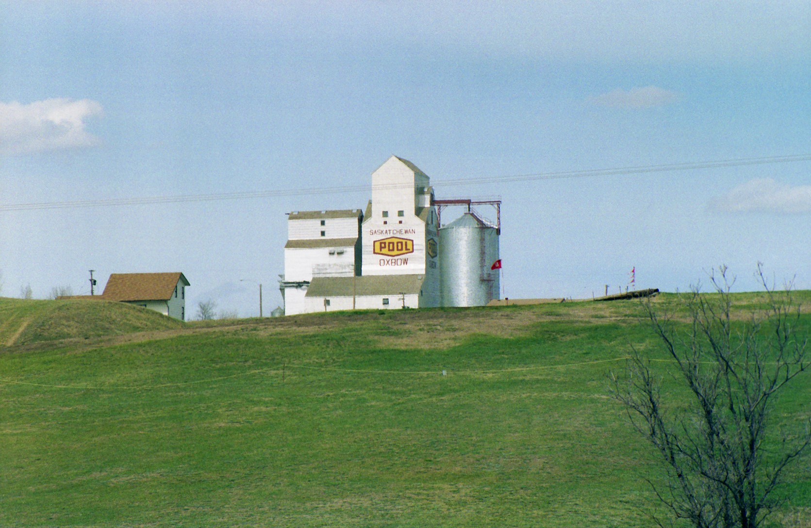
Oxbow, Saskatchewan
Oxbow is a List of towns in Saskatchewan, town in the southeast of the Provinces and territories of Canada, province of Saskatchewan, Canada. It is located on the Canadian Pacific Railway and on Saskatchewan Highway 18, Provincial Highway 18. It is approximately 58 kilometers west of Saskatchewan's border with Manitoba and approximately north of the Canada–United States border, Canada–US border with North Dakota. The town's official motto is "Progress with Pride", but the town's weekly paper, the ''Oxbow Herald'', has long included two other unofficial town mottoes on its masthead: "Queen of the Scenic Souris" (a reference to the Souris River, near which Oxbow is situated) and "Where Petroleum, Oil and Agriculture Meet" (a reference to the town's two major industries). History The first settlers in the area around Oxbow - mainly of English people, English, Irish people, Irish, and Scottish people, Scottish descent - began Dominion Lands Act, homesteading the area in 1882. ... [...More Info...] [...Related Items...] OR: [Wikipedia] [Google] [Baidu] |
List Of Canada–United States Border Crossings
This article includes lists of border crossings, ordered from west to east (north to south for Alaska crossings), along the Canada–United States border, International Boundary between Canada and the United States. Each port of entry (POE) in the tables below links to an article about that crossing. On the U.S. side, each crossing has a three-letter Port of entry, Port of Entry code. This code is also seen on Passport stamp#United States, passport entry stamp or Parole (United States immigration), parole stamp. The list of codes is administered by the United States Department of State, Department of State. Note that one code may correspond to multiple crossings. Land ports of entry Port of entry hours of service for road crossings, except where noted, are open year-round during the day. Unstaffed road crossings This is a list of roads that cross the U.S.-Canada border that do not have border inspection services, but where travelers are legally allowed to cross the border ... [...More Info...] [...Related Items...] OR: [Wikipedia] [Google] [Baidu] |
Bakken Oil Field
The Bakken Formation () is a rock unit from the Late Devonian to Early Mississippian age occupying about of the subsurface of the Williston Basin, underlying parts of Montana, North Dakota, Saskatchewan and Manitoba. The formation was initially described by geologist J. W. Nordquist in 1953. The formation is entirely in the subsurface, and has no surface outcrop. It is named after Henry O. Bakken (1901–1982), a farmer in Tioga, North Dakota, who owned the land where the formation was initially discovered while drilling for oil. Besides the Bakken formation being a widespread prolific source rock for oil when thermally mature, significant producible oil reserves exist within the rock unit itself. Oil was first discovered within the Bakken in 1951, but past efforts to produce it have faced technical difficulties. In April 2008, a USGS report estimated the amount of recoverable oil using technology readily available at the end of 2007 within the Bakken Formation at 3. ... [...More Info...] [...Related Items...] OR: [Wikipedia] [Google] [Baidu] |
Canadian National Railway
The Canadian National Railway Company (french: Compagnie des chemins de fer nationaux du Canada) is a Canadian Class I freight railway headquartered in Montreal, Quebec, which serves Canada and the Midwestern and Southern United States. CN is Canada's largest railway, in terms of both revenue and the physical size of its rail network, spanning Canada from the Atlantic coast in Nova Scotia to the Pacific coast in British Columbia across approximately of track. In the late 20th century, CN gained extensive capacity in the United States by taking over such railroads as the Illinois Central. CN is a public company with 22,600 employees, and it has a market cap of approximately CA$90 billion. CN was government-owned, having been a Canadian Crown corporation from its founding in 1919 until being privatized in 1995. , Bill Gates is the largest single shareholder of CN stock, owning a 14.2% interest through Cascade Investment and his own Bill and Melinda Gates Foundation. Fr ... [...More Info...] [...Related Items...] OR: [Wikipedia] [Google] [Baidu] |
Northgate ND Old Border Station
Northgate or North Gate may refer to: Historical structures * Northgate, Chester, part of the city wall, in Cheshire, England * St Michael at the North Gate, a church in Oxford, England Places * Northgate, Gauteng, South Africa Australia * Northgate, Queensland, a suburb in the City of Brisbane * Northgate, South Australia Canada * Northgate, Saskatchewan England * Northgate, Lincolnshire, see List of United Kingdom locations: Ni-North G#Northa - North G * Northgate, Somerset, see List of United Kingdom locations: Ni-North G#Northa - North G * Northgate, West Sussex United States * Northgate, Oakland, California, Contra Costa County * North Gate, California * Northgate, Colorado, see List of populated places in Colorado-02#N * Northgate, Illinois, in Tuscola Township * North Gate, Indiana * Northgate, North Dakota * Northgate, Ohio * Northgate, Salem, Oregon * Northgate, Texas * Northgate, Seattle, Washington Stations * Northgate railway station, Brisbane, Queensla ... [...More Info...] [...Related Items...] OR: [Wikipedia] [Google] [Baidu] |
Great Northern Railway (U
Great Northern Railway or Great Northern Railroad may refer to: Australia *Great Northern Railway (Queensland) in Australia *Great Northern Rail Services in Victoria, Australia *Central Australia Railway was known as the great Northern Railway in the 1890s in South Australia *Main North railway line, New South Wales (Australia) Canada *Great Northern Railway of Canada Ireland *Great Northern Railway (Ireland) New Zealand *Kingston Branch (New Zealand) in Southland *Main North Line, New Zealand and Waiau Branch in Canterbury United Kingdom *Great Northern Railway (Great Britain) **Thameslink and Great Northern, a current operator of trains on this route United States *Great Northern Railway (U.S.), now part of the BNSF Railway system *International – Great Northern Railroad in Texas, U.S., now part of the Union Pacific Railroad *New Orleans, Jackson and Great Northern The New Orleans, Jackson and Great Northern was a gauge railway originally commissioned by the St ... [...More Info...] [...Related Items...] OR: [Wikipedia] [Google] [Baidu] |
Grand Trunk Pacific Railway
The Grand Trunk Pacific Railway was a historic Canadian transcontinental railway running from Fort William, Ontario (now Thunder Bay) to Prince Rupert, British Columbia, a Pacific coast port. East of Winnipeg the line continued as the National Transcontinental Railway (NTR), running across northern Ontario and Quebec, crossing the St. Lawrence River at Quebec City and ending at Moncton, New Brunswick. The Grand Trunk Railway (GTR) managed and operated the entire line. Largely constructed 1907–14, the GTPR operated 1914–19, prior to nationalization as the Canadian National Railway (CNR). Despite poor decision-making by the various levels of government and the railway management, the GTPR established local employment opportunities, a telegraph service, and freight, passenger and mail transportation. Proposal After the ouster of Edward Watkin, the GTR declined in 1870 and 1880 to build Canada's first transcontinental railway. Subsequently, the Canadian Pacific Railway (CPR) tra ... [...More Info...] [...Related Items...] OR: [Wikipedia] [Google] [Baidu] |
North Dakota Highway 8
North Dakota Highway 8 (ND 8) is a north–south state highway in North Dakota, United States. The highway is split into two segments. The southern segment is long and travels from Lake Sakakawea near Twin Buttes to South Dakota Highway 75 (SD 75) near Hettinger. The northern segment is long and travels from Saskatchewan Highway 9 (SK 9) in Northgate on the Canada–United States border to ND 23 near New Town. The highway was originally continuous but was separated by the formation of Lake Sakakawea in the 1950s. Route description Major intersections See also * List of state highways in North Dakota * List of highways numbered 8 References External links The North Dakota Highways Pageby Chris Geelhart by Mark O'Neil 008 008, OO8, O08, or 0O8 may refer to: * The Streetwear Brand @008us , inspired by Ian Fleming & Virgil Abloh *"030", the fictional 030 Agent of MI6 * '' 038: Operation Exterminate'', a 1965 Italia ... [...More Info...] [...Related Items...] OR: [Wikipedia] [Google] [Baidu] |
United States
The United States of America (U.S.A. or USA), commonly known as the United States (U.S. or US) or America, is a country primarily located in North America. It consists of 50 states, a federal district, five major unincorporated territories, nine Minor Outlying Islands, and 326 Indian reservations. The United States is also in free association with three Pacific Island sovereign states: the Federated States of Micronesia, the Marshall Islands, and the Republic of Palau. It is the world's third-largest country by both land and total area. It shares land borders with Canada to its north and with Mexico to its south and has maritime borders with the Bahamas, Cuba, Russia, and other nations. With a population of over 333 million, it is the most populous country in the Americas and the third most populous in the world. The national capital of the United States is Washington, D.C. and its most populous city and principal financial center is New York City. Paleo-Americ ... [...More Info...] [...Related Items...] OR: [Wikipedia] [Google] [Baidu] |
Canada–United States Border
The border between Canada and the United States is the longest international border in the world. The terrestrial boundary (including boundaries in the Great Lakes, Atlantic, and Pacific coasts) is long. The land border has two sections: Canada's border with the contiguous United States to its south, and with the U.S. state of Alaska to its west. The bi-national International Boundary Commission deals with matters relating to marking and maintaining the boundary, and the International Joint Commission deals with issues concerning boundary waters. The agencies currently responsible for facilitating legal passage through the international boundary are the Canada Border Services Agency (CBSA) and U.S. Customs and Border Protection (CBP). History 18th century The Treaty of Paris of 1783 ended the American Revolutionary War between Great Britain and the United States. In the second article of the Treaty, the parties agreed on all boundaries of the United States, including, but ... [...More Info...] [...Related Items...] OR: [Wikipedia] [Google] [Baidu] |


_from_U.S._(Blaine%2C_WA).jpg)


