|
North West Sutherland National Scenic Area
North West Sutherland is a National scenic area (Scotland), national scenic area (NSA) covering the mountains and coastal scenery of the northwestern part of the Shires of Scotland, county of Sutherland in the Scottish highlands, highlands of Scotland. The designated area covers the mountains of Foinaven, Arkle (Sutherland), Arkle and Ben Stack as well as the coastal scenery surrounding Loch Laxford and Handa Island. It is one of 40 such areas in Scotland, which are defined so as to identify areas of exceptional scenery and to ensure its protection by restricting certain forms of development. The North West Sutherland NSA covers 26,565 hectares, ha in total, consisting of 23,415 ha of land with a further 3,151 ha being marine (i.e. below low tide). National scenic areas are primarily designated due to the scenic qualities of an area, however NSAs may well have other special qualities, for example related to culture, history, archaeology, geology or wildlife. Areas wi ... [...More Info...] [...Related Items...] OR: [Wikipedia] [Google] [Baidu] |
Sutherland
Sutherland ( gd, Cataibh) is a historic county, registration county and lieutenancy area in the Highlands of Scotland. Its county town is Dornoch. Sutherland borders Caithness and Moray Firth to the east, Ross-shire and Cromartyshire (later combined into Ross and Cromarty) to the south and the Atlantic to the north and west. Like its southern neighbour Ross-shire, Sutherland has some of the most dramatic scenery in Europe, especially on its western fringe where the mountains meet the sea. These include high sea cliffs, and very old mountains composed of Precambrian and Cambrian rocks. The name ''Sutherland'' dates from the era of Norwegian Viking rule and settlement over much of the Highlands and Islands, under the rule of the jarl of Orkney. Although it contains some of the northernmost land in the island of Great Britain, it was called ' ("southern land") from the standpoint of Orkney and Caithness. In Gaelic, the area is referred to according to its traditional areas: ' ( ... [...More Info...] [...Related Items...] OR: [Wikipedia] [Google] [Baidu] |
Cairngorms
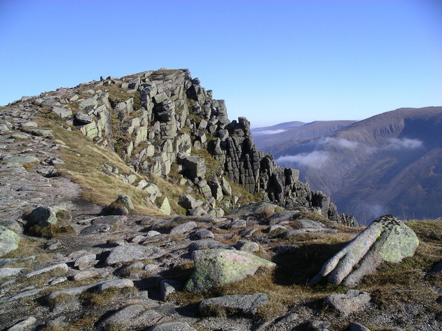
The Cairngorms ( gd, Am Monadh Ruadh) are a mountain range in the eastern Highlands of Scotland closely associated with the mountain Cairn Gorm. The Cairngorms became part of Scotland's second national park (the Cairngorms National Park) on 1 September 2003. Although the Cairngorms give their name to, and are at the heart of, the Cairngorms National Park, they only form one part of the national park, alongside other hill ranges such as the Angus Glens and the Monadhliath, and lower areas like Strathspey. The Cairngorms consists of high plateaux at about above sea level, above which domed summits (the eroded stumps of once much higher mountains ) rise to around . Many of the summits have tors, free-standing rock outcrops that stand on top of the boulder-strewn landscape. In places, the edges of the plateau form steep cliffs of granite and they are excellent for skiing, rock climbing and ice climbing. The Cairngorms form an arctic-alpine mountain environment, with tundra-like ... [...More Info...] [...Related Items...] OR: [Wikipedia] [Google] [Baidu] |
Crofting
Crofting is a form of land tenure and small-scale food production particular to the Scottish Highlands, the islands of Scotland, and formerly on the Isle of Man. Within the 19th century townships, individual crofts were established on the better land, and a large area of poorer-quality hill ground was shared by all the crofters of the township for grazing of their livestock. Practice Crofting is a traditional social system in Scotland defined by small-scale food production. Crofting is characterised by its common working communities, or "townships". Individual crofts are typically established on of in-bye for better quality forage, arable and vegetable production. Each township manages poorer-quality hill ground as common grazing for cattle and sheep. Land use in the crofting counties is constrained by climate, soils, and topography. Since the late 20th century, the government has classified virtually all of the agricultural land in the Highlands and Islands as Severely Di ... [...More Info...] [...Related Items...] OR: [Wikipedia] [Google] [Baidu] |
Lewisian Gneiss
The Lewisian complex or Lewisian gneiss is a suite of Precambrian metamorphic rocks that outcrop in the northwestern part of Scotland, forming part of the Hebridean Terrane and the North Atlantic Craton. These rocks are of Archaean and Paleoproterozoic age, ranging from 3.0–1.7 billion years ( Ga). They form the basement on which the Torridonian and Moine Supergroup sediments were deposited. The Lewisian consists mainly of granitic gneisses with a minor amount of supracrustal rocks. Rocks of the Lewisian complex were caught up in the Caledonian orogeny, appearing in the hanging walls of many of the thrust faults formed during the late stages of this tectonic event. Distribution The main outcrops of the Lewisian complex are on the islands of the Outer Hebrides, including Lewis, from which the complex takes its name. It is also exposed on several islands of the Inner Hebrides, small islands north of the Scottish mainland and forms a coastal strip on the mainland fro ... [...More Info...] [...Related Items...] OR: [Wikipedia] [Google] [Baidu] |
Quartzite
Quartzite is a hard, non- foliated metamorphic rock which was originally pure quartz sandstone.Essentials of Geology, 3rd Edition, Stephen Marshak, p 182 Sandstone is converted into quartzite through heating and pressure usually related to tectonic compression within orogenic belts. Pure quartzite is usually white to grey, though quartzites often occur in various shades of pink and red due to varying amounts of hematite. Other colors, such as yellow, green, blue and orange, are due to other minerals. The term ''quartzite'' is also sometimes used for very hard but unmetamorphosed sandstones that are composed of quartz grains thoroughly cemented with additional quartz. Such sedimentary rock has come to be described as orthoquartzite to distinguish it from metamorphic quartzite, which is sometimes called metaquartzite to emphasize its metamorphic origins. Quartzite is very resistant to chemical weathering and often forms ridges and resistant hilltops. The nearly pure silica co ... [...More Info...] [...Related Items...] OR: [Wikipedia] [Google] [Baidu] |
Loch Laxford Islands From Cnoc Druim Na Coille - Geograph
''Loch'' () is the Scottish Gaelic, Scots and Irish word for a lake or sea inlet. It is cognate with the Manx lough, Cornish logh, and one of the Welsh words for lake, llwch. In English English and Hiberno-English, the anglicised spelling lough is commonly found in place names; in Lowland Scots and Scottish English, the spelling "loch" is always used. Many loughs are connected to stories of lake-bursts, signifying their mythical origin. Sea-inlet lochs are often called sea lochs or sea loughs. Some such bodies of water could also be called firths, fjords, estuaries, straits or bays. Background This name for a body of water is Insular CelticThe current form has currency in the following languages: Scottish Gaelic, Irish, Manx, and has been borrowed into Lowland Scots, Scottish English, Irish English and Standard English. in origin and is applied to most lakes in Scotland and to many sea inlets in the west and north of Scotland. The word comes from Proto-Indo-European ... [...More Info...] [...Related Items...] OR: [Wikipedia] [Google] [Baidu] |
Dumfries And Galloway
Dumfries and Galloway ( sco, Dumfries an Gallowa; gd, Dùn Phrìs is Gall-Ghaidhealaibh) is one of 32 unitary council areas of Scotland and is located in the western Southern Uplands. It covers the historic counties of Dumfriesshire, Kirkcudbrightshire, and Wigtownshire, the latter two of which are collectively known as Galloway. The administrative centre and largest settlement is the town of Dumfries. The second largest town is Stranraer, on the North Channel coast, some to the west of Dumfries. Following the 1975 reorganisation of local government in Scotland, the three counties were joined to form a single region of Dumfries and Galloway, with four districts within it. The districts were abolished in 1996, since when Dumfries and Galloway has been a unitary local authority. For lieutenancy purposes, the area is divided into three lieutenancy areas called Dumfries, Wigtown and the Stewartry of Kirkcudbright, broadly corresponding to the three historic counties. To th ... [...More Info...] [...Related Items...] OR: [Wikipedia] [Google] [Baidu] |
Highland Council
The Highland Council (' ), the political body covering the Highland local authority created in 1995, comprises 21 wards, each electing three or four councillors by the single transferable vote system, which creates a form of proportional representation. The total number of councillors is 74, and the main meeting place and main offices are at the Highland Council Headquarters in Glenurquhart Road, Inverness. Current administration The most recent election of the council was on 5 May 2022. The largest group elected were 22 councillors from the SNP, who were joined by 21 independent, 15 Liberal Democrat, 10 Conservative, 4 Green and 2 Labour councillors. This was the first time since the Council's inception that independent councillors did not form the largest grouping. Following the election, the SNP and the 17-member Highland Independent group formed the administration. Three other independents changed their label to reflect their locality (Caithness, Inverness, and Sutherla ... [...More Info...] [...Related Items...] OR: [Wikipedia] [Google] [Baidu] |
Subdivisions Of Scotland
For local government purposes, Scotland is divided into 32 areas designated as "council areas" ( gd, comhairlean), which are all governed by single-tier authorities designated as "councils". They have the option under the Local Government (Gaelic Names) (Scotland) Act 1997 of being known (but not re-designated) as a "''comhairle''" when opting for a Gaelic name; only ''Comhairle nan Eilean Siar'' (Council of the Western Isles) has chosen this option, whereas the Highland Council (''Comhairle na Gàidhealtachd'') has adopted its Gaelic form alongside its English equivalent informally. The council areas have been in existence since 1 April 1996, under the provisions of the Local Government etc. (Scotland) Act 1994. Historically, Scotland was divided into 34 counties or shires. Although these no longer have any administrative function, they are still used to some extent in Scotland for cultural and geographical purposes, and some of the current council areas are named after th ... [...More Info...] [...Related Items...] OR: [Wikipedia] [Google] [Baidu] |
National Park Authority
A national park authority is a special term used in Great Britain for legal bodies charged with maintaining a national park of which, as of October 2021, there are ten in England, three in Wales and two in Scotland. The powers and duties of all such authorities are similar, but their work varies depending on where they are situated. National park authorities were set up by the Environment Act 1995. __NOTOC__ List of national park authorities England * Peak District National Park Authority * Lake District National Park Authority *Dartmoor National Park Authority * North York Moors National Park Authority * Yorkshire Dales National Park Authority * Exmoor National Park Authority * Northumberland National Park Authority *Broads Authority *New Forest National Park Authority *South Downs National Park Authority Wales *Snowdonia National Park Authority *Pembrokeshire Coast National Park Authority *Brecon Beacons National Park Authority Scotland * Loch Lomond and The Trossachs Nationa ... [...More Info...] [...Related Items...] OR: [Wikipedia] [Google] [Baidu] |
Glen Cannich
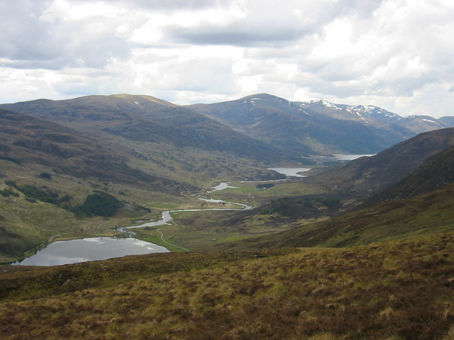
Glen Cannich ( gd, Gleann Chanaich) is a long glen in the Northwest Highlands of Scotland and through which runs the River Cannich. Emerging from the reservoir of Loch Mullardoch, the river flows east to merge with the River Affric at the village of Cannich Cannich ( Gaelic: ''Canaich'') is a village at the southern end of Strathglass, in the Highlands of Scotland, about west of the city of Inverness. It is at the furthest point of the A831 that loops around the Aird from Beauly to Drumnadrochit ..., their combined waters forming the River Glass. Downstream of Loch Mullardoch are the smaller natural lochs of Loch a' Bhana, Loch Sealbhanach, Loch Carrie and Loch Craskie through each of which the river flows. Other lochs within the Cannich catchment include (from west to east) Loch an Fraoich-choire, Coire Lochan, Loch a' Choire Dhomhain, Loch a' Choire Bhig, Loch Tuill Bhearnach and Lochan a' Mhill Dhuibh. Within the narrow confines of the eastern end of the glen the river ... [...More Info...] [...Related Items...] OR: [Wikipedia] [Google] [Baidu] |
Glen Affric
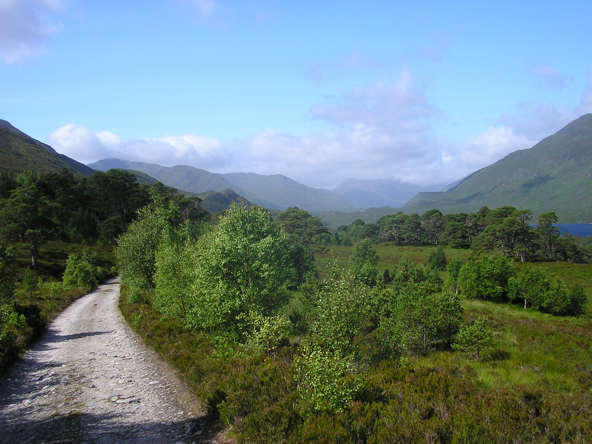
Glen Affric ( gd, Gleann Afraig) is a glen south-west of the village of Cannich in the Highland region of Scotland, some west of Loch Ness. The River Affric runs along its length, passing through Loch Affric and Loch Beinn a' Mheadhoin. A minor public road reaches as far as the end of Loch Beinn a' Mheadhoin, but beyond that point only rough tracks and footpaths continue along the glen.Ordnance Survey 1:50000 Landranger Sheet 25, ''Glen Carron and Glen Affric.'' Often described as the most beautiful glen in Scotland, Glen Affric contains the third largest area of ancient Caledonian pinewoods in Scotland, as well as lochs, moorland and mountains. The area is a Caledonian Forest Reserve, a national scenic area and a national nature reserve, as well as holding several other conservation designations. The forests and open landscapes of the glen, and the mountains on either side, are a popular destination for hikers, climbers and mountain bikers. Flora and fauna Glen Affri ... [...More Info...] [...Related Items...] OR: [Wikipedia] [Google] [Baidu] |
.jpg)


