|
North Auckland Line
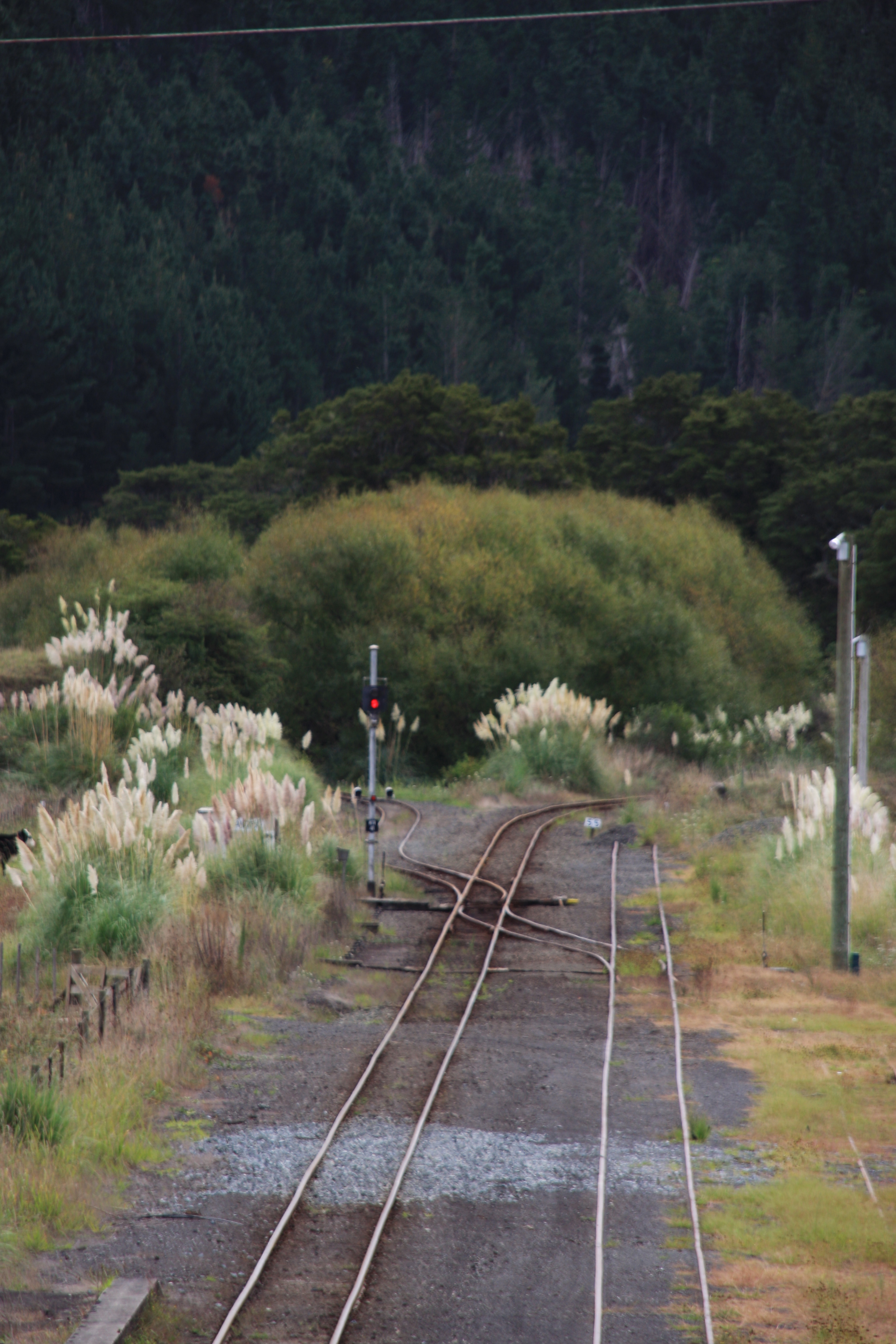
The North Auckland Line (designation NAL) is a major section of New Zealand's national rail network, and is made up of the following parts: the portion of track that runs northward from Westfield Junction to Newmarket Station; from there, westward to Waitakere; from there, northward to Otiria via Whangārei. The first section was opened in 1868 and the line was completed in 1925. The line, or sections of it, have been known at various times as the Kaipara Line, the Waikato-Kaipara Line, the Kaipara Branch and the North Auckland Main Trunk. North Auckland Line is a designation for the section of track, not a service route. The southernmost portion from Westfield Junction to Newmarket was originally built as part of the North Island Main Trunk railway, with Newmarket serving as the junction of the two lines. The North Island Main Trunk was re-routed in 1930 via the Westfield Deviation through Glen Innes and Panmure. Westfield-Newmarket was then incorporated into the North ... [...More Info...] [...Related Items...] OR: [Wikipedia] [Google] [Baidu] |
Commuter Rail
Commuter rail, or suburban rail, is a passenger rail transport service that primarily operates within a metropolitan area, connecting commuters to a central city from adjacent suburbs or commuter towns. Generally commuter rail systems are considered heavy rail, using electrified or diesel trains. Distance charges or zone pricing may be used. The term can refer to systems with a wide variety of different features and service frequencies, but is often used in contrast to rapid transit or light rail. Similar non-English terms include ''Treno suburbano'' in Italian, '' Cercanías'' in Spanish, Aldiriak in Basque, Rodalia in Catalan/Valencian, Proximidades in Galician, '' Proastiakos'' in Greek, ''Train de banlieue'' in French, '' Banliyö treni '' in Turkish, ''Příměstský vlak'' or ''Esko'' in Czech, '' Elektrichka'' in Russian, ''Pociąg podmiejski '' in Polish and ''Pendeltåg'' in Swedish. Some services share similarities with both commuter rail and high-frequency ... [...More Info...] [...Related Items...] OR: [Wikipedia] [Google] [Baidu] |
Southern Line (Auckland)
The Southern Line in Auckland, New Zealand is the name given to suburban train services that operate between Britomart Transport Centre in central Auckland and Pukekohe via Newmarket. Routing From Britomart to Newmarket, Southern Line services use the Newmarket Line, then follow the North Auckland Line to Westfield Junction, and from thence onto the North Island Main Trunk (NIMT) line as far as Pukekohe, the terminus of the Southern Line. In its entirety, this line follows the original 1875 North Island Main Trunk route between central Auckland and Pukekohe. The line, originally single-tracked, was duplicated, piecemeal, between 1909 and 1939. In 1915, the original single-track Parnell tunnel was bypassed by a twin-track tunnel. The older tunnel can be seen alongside the current one, between Parnell station and Newmarket Junction. History In 1930, the Westfield Deviation opened a new eastern route for the NIMT between Auckland and Westfield via Glen Innes. The route bet ... [...More Info...] [...Related Items...] OR: [Wikipedia] [Google] [Baidu] |
Oakleigh, New Zealand
Oakleigh is a settlement south of Whangārei in the Whangarei District of the Northland Region of New Zealand, on the main highway and the North Auckland Line. The place was named after a grove of several large oak trees there, as the new Post Office built in 1910 required a name. The Post Office originally opened as Mangapai Wharf, but was renamed Oakleigh on 1 February 1913. The Post Office closed on 1 June 1945. The settlement had a railway station from 1923 to 1975. In 1947, the station was unstaffed but had a small passenger shelter, a 30 foot by 20 foot goods shed, a loading bank, sheep and cattle yards, and room for 97 wagons on two loop sidings. The proposed Marsden Point Branch line to Northport will leave the North Auckland Line at Oakleigh. Demographics Oakleigh is part of the Oakleigh-Mangapai statistical area. References Whangarei District Populated places in the Northland Region {{Northland-geo-stub ... [...More Info...] [...Related Items...] OR: [Wikipedia] [Google] [Baidu] |
Marsden Point
Marsden Point is a broad, flat peninsula that is the southern head of the Whangārei Harbour entrance on the east coast of Northland, New Zealand, southeast of the city of Whangārei. It is the location of Marsden Point Oil Refinery and the Northport cargo port. Geography The point is a broad, flat barrier spit, a peninsula of sand dunes, alluvium and estuarine deposits, that forms the southern head of the Whangārei Harbour entrance. It is southeast of Whangārei and around from Auckland's CBD. The flat, developed terrain contrasts starkly with the forest-covered peaks and pinnacles of the mountains across the channel on the northern head, including the 420-metre Mount Manaia. The point is at the northern end of the 22-kilometre long Bream Bay, which has mostly white-sand beaches. Easy access to beaches and recreational fishing grounds, with a climate of warm summers and mild winters, make the area a popular holiday spot and residential location. It is in the Whangarei Di ... [...More Info...] [...Related Items...] OR: [Wikipedia] [Google] [Baidu] |
Northport, New Zealand
Northport is a commercial sea port at Marsden Point, at the entrance to the Whangarei Harbour in Northland, New Zealand, located next to the Marsden Point Oil Refinery. It is a naturally deep-water port, with a maximum depth of 14.5 metres. It is the northernmost multi-purpose port in New Zealand, and the closest port to the majority of New Zealand's international markets. It is about 100 km north of the Auckland Northern Motorway, and around 75 nautical miles north of the Port of Auckland. History The Northland Harbour Board first proposed a container port at Marsden Point in the 1960s, at which time Whangarei was served by Port Whangarei, in the upper harbour near the city. The Northland Port Corporation was formed in 1988 to take over the commercial port assets of the Northland Harbour Board, and it entered a joint venture with Port of Tauranga Ltd in 2000 to establish Northport Limited. Construction of the port at Marsden Point started in October 2000 and the first ... [...More Info...] [...Related Items...] OR: [Wikipedia] [Google] [Baidu] |
Marsden Point Branch
The Marsden Point Branch is a branch line railway, which is to be built in the Northland Region of New Zealand's North Island. It will diverge from the North Auckland Line at Oakleigh, south of Whangārei, and serve Northport at Marsden Point. The proposal has existed since the 1970s and land for the rail corridor is being actively purchased. In October 2017, the new Labour–NZ First coalition government announced that it would spend $600 million on rehabilitating the North Auckland Line and building the branch at a cost of $200 million, the total works to cost $800 million. In June 2021 it was announced that the line would be built and was expected to take about 5 years. Early 20th century The Marsden Point proposal has been preceded by two earlier lines: the Onerahi Branch of 1911–33, and a proposed Waipu Branch that was partially built and then abandoned. The former was built for the same purpose as the Marsden Point Branch: better harbour access for Whang ... [...More Info...] [...Related Items...] OR: [Wikipedia] [Google] [Baidu] |
Radio New Zealand
Radio New Zealand ( mi, Te Reo Irirangi o Aotearoa), commonly known as Radio NZ or simply RNZ, is a New Zealand public-service radio broadcaster and Crown entity that was established under the Radio New Zealand Act 1995. It operates news and current-affairs network, RNZ National, and a classical-music and jazz network, RNZ Concert, with full government funding from NZ on Air. Since 2014, the organisation's focus has been to transform RNZ from a radio broadcaster to a multimedia outlet, increasing its production of digital content in audio, video, and written forms. The organisation plays a central role in New Zealand public broadcasting. The New Zealand Parliament fully funds its AM network, used in part for the broadcast of parliamentary proceedings. RNZ has a statutory role under the Civil Defence Emergency Management Act 2002 to act as a "lifeline utility" in emergency situations. It is also responsible for an international service (known as RNZ Pacific); this is broa ... [...More Info...] [...Related Items...] OR: [Wikipedia] [Google] [Baidu] |
Opua Branch
The Opua Branch or Otiria-Opua Industrial Line, partially still operational as the Bay of Islands Vintage Railway, is a former section of the North Auckland Line in the Northland Region of New Zealand, between Otiria and the Bay of Islands township of Opua. The first section was constructed as a bush tramway in 1868 and converted to a railway in the next decade. Today the railway is partially used by the Bay of Islands Vintage Railway, which runs tourist services between Kawakawa and Taumarere. The line's centrepiece is the section where it runs down along the main street of Kawakawa. Construction A tramway was opened in 1868 to carry coal from mines at Kawakawa to the Taumarere wharf at what is now known as Derrick Landing. The rails were wooden, the track gauge was the international standard gauge A standard-gauge railway is a railway with a track gauge of . The standard gauge is also called Stephenson gauge (after George Stephenson), International gauge, UIC ... [...More Info...] [...Related Items...] OR: [Wikipedia] [Google] [Baidu] |
Bay Of Islands
The Bay of Islands is an area on the east coast of the Far North District of the North Island of New Zealand. It is one of the most popular fishing, sailing and tourist destinations in the country, and has been renowned internationally for its big-game fishing since American author Zane Grey publicised it in the 1930s. It is north-west of the city of Whangarei. Cape Reinga, at the northern tip of the country, is about by road further to the north-west. Geography The bay itself is an irregularly-shaped -wide, drowned valley system and a natural harbour. It contains 144 islands, of which the largest is Urupukapuka, and numerous peninsulas and inlets. The three largest inlets are Waikare Inlet in the south, and Kerikeri and Te Puna (Mangonui) inlets in the north-west. The Purerua Peninsula, north of Te Puna Inlet, separates the north-western part of the bay from the Pacific Ocean, and Cape Brett Peninsula extends into the ocean at the eastern end of the bay. The biggest ... [...More Info...] [...Related Items...] OR: [Wikipedia] [Google] [Baidu] |
Opua
Opua is a locality in the Bay of Islands, in the sub-tropical Northland Region of New Zealand. It is notable as the first port for overseas yachts arriving in the country after crossing the Pacific Ocean. In the original 1870s plans for the town, it was named Newport. The town of Paihia is nearby, and the small settlement of Te Haumi is in between. The car ferry across the Bay of Islands, the main tourist access to Russell, runs between Opua and Okiato. The New Zealand Ministry for Culture and Heritage gives a translation of "place of the flower" for ''Ōpua''. The Waimangaro area north-west of Opua is listed on the Ngāpuhi and Te Puni Kōkiri websites as a traditional meeting point of the Ngāpuhi hapū of Te Uri Ongaonga. Demographics Opua, including Te Haumi to the north, covers and had an estimated population of as of with a population density of people per km2. Opua had a population of 1,137 at the 2018 New Zealand census, an increase of 129 people (1 ... [...More Info...] [...Related Items...] OR: [Wikipedia] [Google] [Baidu] |


.jpg)