|
New Road Of Kathmandu
New Road (, Nepal Bhasa: न्हु सडक) is the financial hub and a busy high street in Kathmandu, Nepal Nepal. It refers to a two lane street in the center of Kathmandu, as well as the surrounding neighborhood. It is one of the busiest marketplaces in the city. Being near the midpoint of the ring road in Kathmandu, as well as the old center of Kathmandu (Kathmandu Durbar Square, also known as Basantapur, Kathmandu), it is one of the central locations in the city. History The road was built during the period of prime ministership Juddha Shumsher Jung Bahadur Rana after the 1934 Nepal–India earthquake destroyed many buildings in the Kathmandu Valley. It was formally called Juddha Sadak in his honor. The road can also be referred as old Kings Way of Nepal, as the road leads to old royal palace of Royal Families, Kathmandu Durbar Square which is a UNESCO World Heritage Site. The inhabitants of New Road are mostly Newars. After the fall of autocratic Rana regime, it was r ... [...More Info...] [...Related Items...] OR: [Wikipedia] [Google] [Baidu] |
Tundikhel
Tudikhel or Tundikhel ( Nepali: टुँडिखेल; Nepal Bhasa: 'Tinikhya', तिनिख्यः) is a large grass-covered ground in the center of Nepal's capital Kathmandu and one of its most important landmarks. The field is rectangular in shape and has a north-south orientation. It lies between Ratna Park in the north and Sahid Gate, the memorial dedicated to the martyrs of 1941, in the south. Tundikhel's history goes back to at least the early 18th century during the Malla period. It serves multiple purposes as a military parade ground, horse race track, spot for religious festivals, rock concert venue, public park and cattle grazing ground. Tundikhel has also been described as Kathmandu's lungs as the large field provides fresh air in the midst of the city congested with houses. The townspeople throng Tundikhel in the mornings and evenings to enjoy the breeze and exercise. During World Wars I and II, Gorkhali soldiers were assembled here before being shipped out ... [...More Info...] [...Related Items...] OR: [Wikipedia] [Google] [Baidu] |
Basantapur, Kathmandu
Kathmandu Durbar Square (''Basantapur Durbar Kshetra'') is located in front of the old royal palace of the former Kathmandu Kingdom and is one of three Durbar (royal palace) Squares in the Kathmandu Valley in Nepal, all of which are UNESCO World Heritage Sites. Several buildings in the square collapsed due to a major earthquake on 25 April 2015. Durbar Square was surrounded with spectacular architecture and vividly showcases the skills of the Newar artists and craftsmen over several centuries. The Royal Palace was originally at Dattaraya square and was later moved to the Durbar square.Nepal Handbook by Tom Woodhatch The Kathmandu Durbar Square held the palaces of the Malla and Shah kings who ruled over the city. Along with these palaces, the square surrounds quadrangles, revealing courtyards and temples. It is known as Hanuman Dhoka Durbar Square, a name derived from a statue of Hanuman, the monkey devotee of Lord Ram, at the entrance of the palace. History and constr ... [...More Info...] [...Related Items...] OR: [Wikipedia] [Google] [Baidu] |
Nepal Bhasa
Newar (), or Newari and known officially in Nepal as Nepal Bhasa, is a Sino-Tibetan languages, Sino-Tibetan language spoken by the Newar people, the indigenous inhabitants of Nepal Mandala, which consists of the Kathmandu Valley and surrounding regions in Nepal. "Nepal Bhasa" literally means "Nepalese language", however the language is not the same as Nepali language, Nepali (Devanagari, Devanāgarī: नेपाली), the country's current official language of the central government. The two languages belong to different language families (Sino-Tibetan and Indo-European languages, Indo-European, respectively), but centuries of Language contact, contact have resulted in a significant body of shared vocabulary. Newar was Nepal's administrative language from the 14th to the late 18th century. From the early 20th century until 2006 democracy movement in Nepal, democratisation, Newar suffered from official suppression. From 1952 to 1991, the percentage of Newar speakers in ... [...More Info...] [...Related Items...] OR: [Wikipedia] [Google] [Baidu] |
High Street
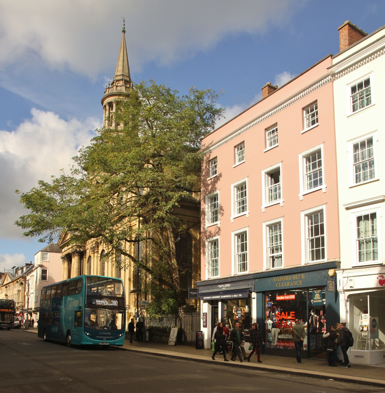
High Street is a common street name for the primary business street of a city, town, or village, especially in the United Kingdom and Commonwealth. It implies that it is the focal point for business, especially shopping. It is also a metonym for the retail sector. With the rapid increase in consumer expenditure the number of High Streets in England grew from the 17th century and reached a peak in Victorian Britain where, drawn to growing towns and cities spurred on by the Industrial Revolution, the rate of urbanisation was unprecedented. Since the latter half of the 20th century, the prosperity of High Streets has been in decline due to the growth of out-of-town shopping centres, and, since the early 21st century, the growth of online retailing, forcing many shop closures and prompting the UK government to consider initiatives to reinvigorate and preserve the High Street. High Street is the most common street name in the UK, which according to a 2009 statistical compilation ... [...More Info...] [...Related Items...] OR: [Wikipedia] [Google] [Baidu] |
Kathmandu, Nepal
, pushpin_map = Nepal Bagmati Province#Nepal#Asia , coordinates = , subdivision_type = Country , subdivision_name = , subdivision_type1 = Province , subdivision_name1 = Bagmati Province , subdivision_type2 = District , subdivision_name2 = Kathmandu , established_title = , founder = Manjushri , parts_type = No. of Wards , parts = 32 , seat_type = , seat = , government_footnotes = , government_type = Mayor–council government , governing_body = Kathmandu Metropolitan Government, , leader_title = Mayor , leader_name = Balendra Shah ( Ind.) , leader_title1 = Deputy mayor , leader_name1 = Sunita Dangol (UML) , leader_title2 = Executive Officer , leader_name2 = Basanta Adhikari , unit_pref ... [...More Info...] [...Related Items...] OR: [Wikipedia] [Google] [Baidu] |
Kathmandu
, pushpin_map = Nepal Bagmati Province#Nepal#Asia , coordinates = , subdivision_type = Country , subdivision_name = , subdivision_type1 = Province , subdivision_name1 = Bagmati Province , subdivision_type2 = District , subdivision_name2 = Kathmandu , established_title = , founder = Manjushri , parts_type = No. of Wards , parts = 32 , seat_type = , seat = , government_footnotes = , government_type = Mayor–council government , governing_body = Kathmandu Metropolitan Government, , leader_title = Mayor , leader_name = Balendra Shah ( Ind.) , leader_title1 = Deputy mayor , leader_name1 = Sunita Dangol (UML) , leader_title2 = Executive Officer , leader_name2 = Basanta Adhikari , unit_pref ... [...More Info...] [...Related Items...] OR: [Wikipedia] [Google] [Baidu] |
Ring Road (Kathmandu)
Kathmandu Ring Road ( ne, काठमाडौं चक्रपथ) is an eight-lane ring road circling around the cities of Kathmandu and Lalitpur. The total length of the Ring Road is . It has a right of way of 62m (with 31m on either side of the center line). Route The road connects major places like Kalanki, Satdobato, Gwarko, Balkumari, Koteswor, Tinkune, Tribhuvan International Airport, Gaushala, Chabhil, Sukedhara, Maharajganj, Basundhara, Samakhushi, Gongabu, Balaju, and Swayambhunath. History In 2018, A section of was expanded eight-lanes in cooperation of the Chinese government. To ease traffic congestion at Kalanki, Nepal's first underpass was constructed in 2018. In 2019, Ring Road served as a sporting venue for Cycling events at the 2019 South Asian Games. Expansion The government has decided to expedite construction of the proposed 71.93 km Outer Ring Road that is supposed to encircle most of the urban areas in Kathmandu Valley. The Detail ... [...More Info...] [...Related Items...] OR: [Wikipedia] [Google] [Baidu] |
Kathmandu Durbar Square
Kathmandu Durbar Square (''Basantapur Durbar Kshetra'') is located in front of the old royal palace of the former Kathmandu Kingdom and is one of three Durbar (royal palace) Squares in the Kathmandu Valley in Nepal, all of which are UNESCO World Heritage Sites. Several buildings in the square collapsed due to a major earthquake on 25 April 2015. Durbar Square was surrounded with spectacular architecture and vividly showcases the skills of the Newar artists and craftsmen over several centuries. The Royal Palace was originally at Dattaraya square and was later moved to the Durbar square.Nepal Handbook by Tom Woodhatch The Kathmandu Durbar Square held the palaces of the Malla and Shah kings who ruled over the city. Along with these palaces, the square surrounds quadrangles, revealing courtyards and temples. It is known as Hanuman Dhoka Durbar Square, a name derived from a statue of Hanuman, the monkey devotee of Lord Ram, at the entrance of the palace. History and const ... [...More Info...] [...Related Items...] OR: [Wikipedia] [Google] [Baidu] |
Juddha Shumsher Jung Bahadur Rana
Field Marshal Sri, Shree Sri, Shree Sri, Shree Maharaja Sir Juddha Shumsher Jung Bahadur Rana ( ne, जुद्ध शम्शेर जङ्गबहादुर राणा) (19 April 1875 in Narayanhity Palace, Kathmandu – 20 November 1952 in Dehradun, India) was the Prime Minister of Nepal from 1 September 1932 to 29 November 1945 as the head of the Rana dynasty. He was the Field marshal and Maharaja of Lamjung District, Lamjung and Kaski District, Kaski. He is credited for rebuilding the Dharahara which was destroyed by the 1934 Nepal–Bihar earthquake. Juddha Shumsher had twenty sons and twenty daughters. Early life Juddha Shumsher Jung Bahadur Rana was born on 19 April 1875 at the Narayanhiti Palace in Durbar Marg, Kathmandu to Dhir Shumsher Rana and Juhar Kumari Devi. Rana was born into a noble Hindu Chhetri family, his father Dhir Shamsher, was the youngest brother of Jung Bahadur Rana who started the Rana dynasty, and his mother belonged to a noble Rajput fami ... [...More Info...] [...Related Items...] OR: [Wikipedia] [Google] [Baidu] |
1934 Nepal–India Earthquake
The 1934 Nepal–India earthquake or 1934 Bihar–Nepal earthquake was one of the worst earthquakes in India's history. The towns of Munger and Muzaffarpur were completely destroyed. This 8.0 magnitude earthquake occurred on 15 January 1934 at around 2:13 pm IST (08:43 UTC) and caused widespread damage in northern Bihar and in Nepal. Earthquake The epicentre for this event was located in eastern Nepal about south of Mount Everest. The areas where the most damage to life and property occurred extended from Purnea in the east to Champaran in the west (a distance of nearly ), and from Kathmandu in the north to Munger in the south (a distance of nearly ). The impact was reported to be felt in Lhasa to Bombay, and from Assam to Punjab. The earthquake was so severe that in Kolkata, around 650 km (404 mi) from epicenter, many buildings were damaged and the tower of St. Paul's Cathedral collapsed. Ground effects A particular phenomenon of the earthquake was that sand ... [...More Info...] [...Related Items...] OR: [Wikipedia] [Google] [Baidu] |
UNESCO
The United Nations Educational, Scientific and Cultural Organization is a specialized agency of the United Nations (UN) aimed at promoting world peace and security through international cooperation in education, arts, sciences and culture. It has 193 member states and 12 associate members, as well as partners in the non-governmental, intergovernmental and private sector. Headquartered at the World Heritage Centre in Paris, France, UNESCO has 53 regional field offices and 199 national commissions that facilitate its global mandate. UNESCO was founded in 1945 as the successor to the League of Nations's International Committee on Intellectual Cooperation.English summary). Its constitution establishes the agency's goals, governing structure, and operating framework. UNESCO's founding mission, which was shaped by the Second World War, is to advance peace, sustainable development and human rights by facilitating collaboration and dialogue among nations. It pursues this objective t ... [...More Info...] [...Related Items...] OR: [Wikipedia] [Google] [Baidu] |
Newar
Newar (; new, नेवार, endonym: Newa; new, नेवा, Pracalit script:) or Nepami, are the historical inhabitants of the Kathmandu Valley and its surrounding areas in Nepal and the creators of its historic heritage and civilisation. Page 15. Newars form a linguistic and cultural community of primarily Indo-Aryan and Tibeto-Burman ethnicities following Hinduism and Buddhism with Nepal Bhasa as their common language. Newars have developed a division of labour and a sophisticated urban civilisation not seen elsewhere in the Himalayan foothills. Newars have continued their age-old traditions and practices and pride themselves as the true custodians of the religion, culture and civilisation of Nepal. Newars are known for their contributions to culture, art and literature, trade, agriculture and cuisine. Today, they consistently rank as the most economically and socially advanced community of Nepal, according to the annual Human Development Index published by UNDP. Nep ... [...More Info...] [...Related Items...] OR: [Wikipedia] [Google] [Baidu] |


.jpg)


