|
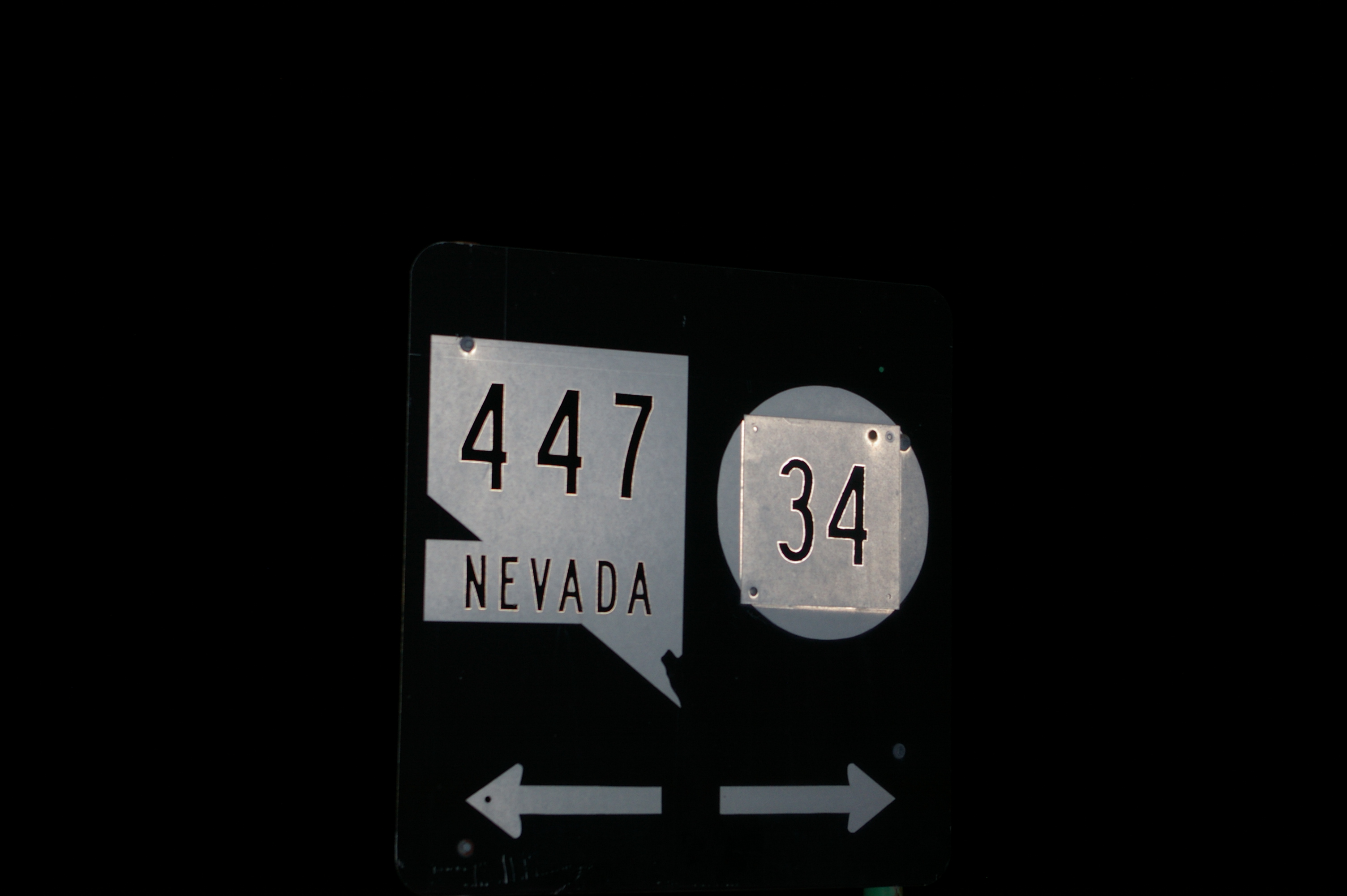
Nevada State Route 34
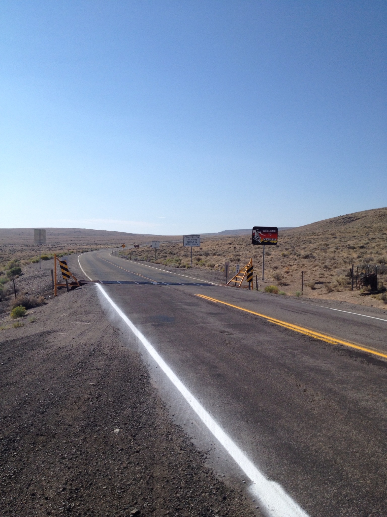
State Route 34 is a decommissioned state highway in Nevada from prior to the state's highway restructuring in 1978. Today a portion of former SR 34 is maintained by the Washoe County as a county highway with the not well known designation CR 34. A portion of State Route 447 was formerly SR 34, though the former SR 34 road bed is still used from Gerlach, Nevada to near Vya, Nevada. History In the 1950s the pavement ended and became gravel just past the sand dunes north of Nixon. In 1953, south of Gerlach, the paving was incomplete and State Route 81 from Gerlach to the California state line was not surfaced. By 1963, the road was paved to Gerlach and State Route 81 was partly paved from Gerlach to the California State Line. Before 1978 SR 34 followed present day SR 447 route, from Gerlach to Wadsworth, Nevada Wadsworth is a census-designated place (CDP) in Washoe County, Nevada. The population was 834 at the time of the 2010 census. It is part of the Reno– Sparks ... [...More Info...] [...Related Items...] OR: [Wikipedia] [Google] [Baidu] |
Gerlach, Nevada
Gerlach, Nevada is a census-designated place (CDP) in Washoe County, Nevada, United States. The population was 107 at the 2018 American Community Survey. It is part of the Reno–Sparks Metropolitan Statistical Area. Prior to 2010, Gerlach was part of the Gerlach–Empire census-designated place. The town of Empire is now a separate CDP. The next nearest town, Nixon, is to the south on a reservation owned by the Pyramid Lake Paiute Tribe. The Fly Geyser is located near Gerlach. Geography According to the United States Census Bureau, the Gerlach CDP has a total area of , all land. Its elevation is . Gerlach is approximately north of Reno, Nevada. Demographics Climate Gerlach has a steppe climate (Bsk). Economy The economy of Gerlach focuses on tourism in the nearby Black Rock Desert, and hunting. Gypsum mining was the historic staple of the local economy. Nearby Empire was a company town of the United States Gypsum Corporation (USG) until the plant closed on January 31, ... [...More Info...] [...Related Items...] OR: [Wikipedia] [Google] [Baidu] |
Nixon, Nevada
Nixon is a census-designated place (CDP) in Washoe County, Nevada, USA. The population was 374 at the 2010 census. It is part of the Reno–Sparks Metropolitan Statistical Area. It is the seat of tribal government of the Paiute Pyramid Lake Indian Reservation and home to the tribe's Museum and Visitor Center. Geography According to the United States Census Bureau, the CDP has a total area of , all land. Origin Nixon was named in honor of Senator George Stuart Nixon (R), who represented Nevada in the US Senate from 1905–1912. Demographics At the 2000 census there were 418 people, 132 households, and 104 families in the CDP. The population density was 66.2 people per square mile (25.5/km). There were 144 housing units at an average density of 22.8 per square mile (8.8/km). The racial makeup of the CDP was 2% White, 96% Native American, <1% Asian, <1% Pacific Islander, and 1% from two or more races. Hispanic or Latino of any race were 5%. Of the 1 ... [...More Info...] [...Related Items...] OR: [Wikipedia] [Google] [Baidu] |
Lakeview, Oregon
Lakeview is a town in Lake County, Oregon, United States. The population was 2,418 at the 2020 census. It is the county seat of Lake County. The city bills itself as the "Tallest Town in Oregon" because of its elevation, above sea level. Lakeview is situated in the Goose Lake Valley at the foot of the Warner Mountains and at the edge of Oregon's high desert country. Its economy is based on agriculture, lumber production, and government activities. In addition, tourism is an increasingly important part of the city's economy. Oregon's Outback Scenic Byway passes through Lakeview. History Native Americans probably occupied the area around Lakeview for as early as 14,000 years ago, as evidenced by artifacts found in the Paisley Caves north of Lakeview."Lake County History" Oregon Historical County Rec ... [...More Info...] [...Related Items...] OR: [Wikipedia] [Google] [Baidu] |
Adel, Oregon
Adel is an unincorporated community in southeastern Lake County, in the U.S. state of Oregon. The community is in an arid, sparsely populated part of the state, along Oregon Route 140, about east of Lakeview. The Warner Valley surrounding Adel contains many marshes and shallow lakes, most of them intermittent. Frequented by Native Americans for many thousands of years, the valley became a region of sheep grazing and cattle ranching by the late 19th century. Adel's infrastructure includes a combined store/restaurant/bar, a post office (serving Zip Code 97620), an elementary school, and a church. Hot springs and related geological features have made one of the nearby ranches a potential site for a geothermal power station. History People have lived in the Warner Valley for more than 10,000 years. Evidence of Native American occupation includes petroglyphs, hunting blinds, flakes from obsidian tools, and other material artifacts. By historic times, the Kidütökadö band ... [...More Info...] [...Related Items...] OR: [Wikipedia] [Google] [Baidu] |
Oregon Route 140
Oregon Route 140 (OR 140) is a state highway in southern Oregon, United States. It is the longest state highway in Oregon, running from the community of White City, Oregon (just north of Medford), through Klamath Falls and on to Lakeview. It then continues east, eventually descending into the state of Nevada. Route description OR 140 begins in White City at a junction with Oregon Route 62 (which runs between Medford and Crater Lake National Park). OR 140 is the primary connection between Medford and Klamath Falls. The stretch of OR 140 between the two cities is known as the Lake of the Woods Highway No. 270 (see Oregon highways and routes), as it passes by the scenic Lake of the Woods and Mount McLoughlin in the Sky Lakes Wilderness. It then runs along the southwestern shore of Upper Klamath Lake, where it is part of the Volcanic Legacy Scenic Byway. Upon entering the Klamath Falls area, it joins together with Oregon Route 66 (which runs between Klamath Falls and Ashland ... [...More Info...] [...Related Items...] OR: [Wikipedia] [Google] [Baidu] |
Oregon
Oregon () is a U.S. state, state in the Pacific Northwest region of the Western United States. The Columbia River delineates much of Oregon's northern boundary with Washington (state), Washington, while the Snake River delineates much of its eastern boundary with Idaho. The 42nd parallel north, 42° north parallel delineates the southern boundary with California and Nevada. Oregon has been home to many Indigenous peoples of the Americas, indigenous nations for thousands of years. The first European traders, explorers, and settlers began exploring what is now Oregon's Pacific coast in the early-mid 16th century. As early as 1564, the Spanish expeditions to the Pacific Northwest, Spanish began sending vessels northeast from the Philippines, riding the Kuroshio Current in a sweeping circular route across the northern part of the Pacific. In 1592, Juan de Fuca undertook detailed mapping and studies of ocean currents in the Pacific Northwest, including the Oregon coast as well as ... [...More Info...] [...Related Items...] OR: [Wikipedia] [Google] [Baidu] |
Wadsworth, Nevada
Wadsworth is a census-designated place (CDP) in Washoe County, Nevada. The population was 834 at the time of the 2010 census. It is part of the Reno– Sparks Metropolitan Statistical Area and located entirely within the Pyramid Lake Indian Reservation. The town was named for General James S. Wadsworth, a Civil War general killed during the Battle of the Wilderness in 1864. It was given this name by Leland Stanford of the Central Pacific Railroad as a favor to General Irvin McDowell, whom Wadsworth had served under during the Civil War. Geography Wadsworth is located at (39.635550, -119.283175). According to the United States Census Bureau, the CDP has a total area of , all land. Demographics As of the census of 2000, there were 881 people, 328 households, and 225 families residing in the CDP. The population density was 237.7 people per square mile (91.7/km). There were 360 housing units at an average density of 97.1 per square mile (37.5/km). The racial makeup of the C ... [...More Info...] [...Related Items...] OR: [Wikipedia] [Google] [Baidu] |
Nevada State Journal
The ''Reno Gazette Journal'' is the main daily newspaper for Reno, Nevada. It is owned and operated by the Gannett Company. It came into being when the ''Nevada State Journal'' (founded on November 23, 1870) and the ''Reno Evening Gazette'' (founded on March 28, 1876) were combined on October 7, 1983. Speidel Newspapers bought the ''Gazette'' on October 1, 1939 and bought the ''Journal'' a month later. Gannett bought Speidel Newspapers on May 11, 1977. On April 16, 2019, an edition of the ''Nevada State Journal'' was found during the opening of a time capsule from 1872 in the cornerstone of a demolished Masonic lodge in Reno Reno ( ) is a city in the northwest section of the U.S. state of Nevada, along the Nevada-California border, about north from Lake Tahoe, known as "The Biggest Little City in the World". Known for its casino and tourism industry, Reno is the .... References External links * 1870 establishments in Nevada Daily newspapers published in the Unit ... [...More Info...] [...Related Items...] OR: [Wikipedia] [Google] [Baidu] |
Daily Sparks Tribune
Daily or The Daily may refer to: Journalism * Daily newspaper, newspaper issued on five to seven day of most weeks * ''The Daily'' (podcast), a podcast by ''The New York Times'' * ''The Daily'' (News Corporation), a defunct US-based iPad newspaper from News Corporation * ''The Daily of the University of Washington'', a student newspaper using ''The Daily'' as its standardhead Places * Daily, North Dakota, United States * Daily Township, Dixon County, Nebraska, United States People * Bill Daily (1927–2018), American actor * Elizabeth Daily (born 1961), American voice actress * Joseph E. Daily (1888–1965), American jurist * Thomas Vose Daily (1927–2017), American Roman Catholic bishop Other usages * Iveco Daily, a large van produced by Iveco * Dailies, unedited footage in film See also * Dailey, surname * Daley (other) * Daly (other) Daly or DALY may refer to: Places Australia * County of Daly, a cadastral division in South Australia * Daly River ... [...More Info...] [...Related Items...] OR: [Wikipedia] [Google] [Baidu] |
Vya, Nevada
Vya is a small ghost town located in Washoe County, in northwestern Nevada, United States. It is about east of the California state line, north of Forty Nine Canyon. Not much remains of the small town, which essentially died in the 1920s. Just two wooden buildings can still be seen—the Vya Post Office and Library. The Vya Post Office was in operation from September 1910 until October 1941. The settlement was named for Vya Wimer, the first European heritage baby born in the valley. The vicinity of Vya has since evolved into the Old Yella Dog Ranch, a working guest ranch, with facilities for RVs and camping. In the winter of 1993, a young man named Jim Stolpa, his wife, and baby, became snowbound while driving through northern Nevada. After an almost 30-hour, walk, Stolpa was found near Vya. The Stolpas' ordeal was made into a movie, '' Snowbound: The Jim and Jennifer Stolpa Story.'' Vya remains a ghost town to this day. See also *List of ghost towns in Nevada Most ghost ... [...More Info...] [...Related Items...] OR: [Wikipedia] [Google] [Baidu] |


.jpg)