|
Natashquan, Quebec (municipality)
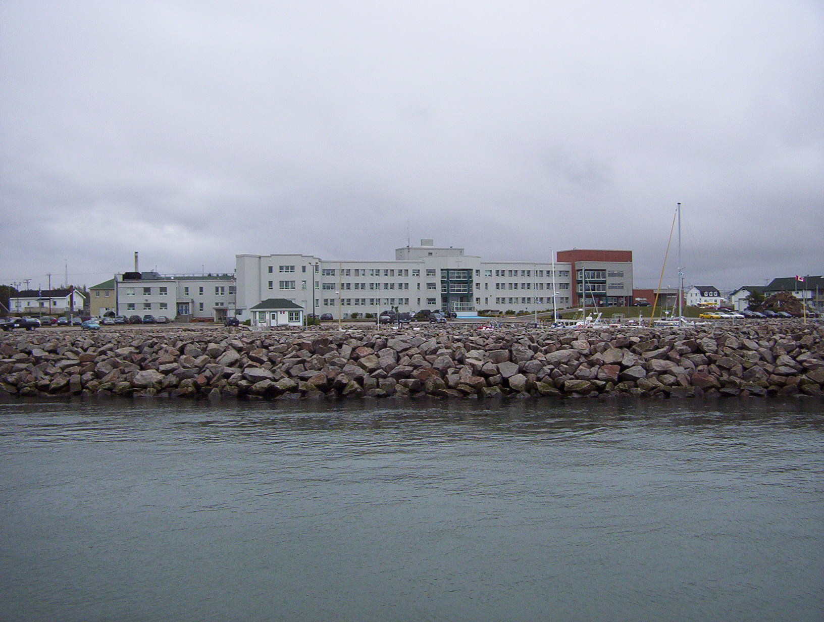
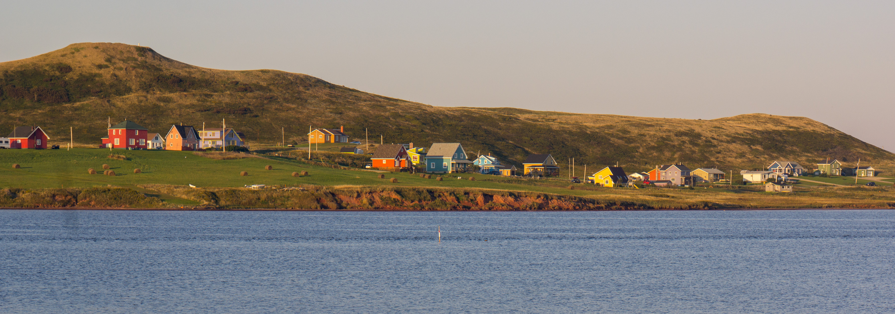
Natashquan is a municipality in Minganie Regional County Municipality, Côte-Nord region, Quebec, Canada. It should not be confused with the adjacent but separate Innu reserve of Nutashkuan. The municipality is named after the Natashquan River, which had already been mapped and named in the 17th century. It comes from the Innu language, meaning "where one hunts for bear". In addition to the village of Natashquan itself, the municipality also includes the small community of Pointe-Parent () that is located on the Natashquan River, directly adjacent to the Natashquan Reserve. It is home to some fishermen's homes and was served by a post office from 1953 to 1976. Once also known as Pointe-du-Poste and Village-du-Poste, Pointe-Parent was named after priest Pierre-Clément Parent (1733–1784) who served as missionary in Tadoussac and Labrador and died in Natashquan. History While Jacques Cartier had visited the area in 1534 and a trading post already existed in 1710 at the mouth of ... [...More Info...] [...Related Items...] OR: [Wikipedia] [Google] [Baidu] |
Provinces And Territories Of Canada
Within the geographical areas of Canada, the ten provinces and three territories are sub-national administrative divisions under the jurisdiction of the Canadian Constitution. In the 1867 Canadian Confederation, three provinces of British North America—New Brunswick, Nova Scotia, and the Province of Canada (which upon Confederation was divided into Ontario and Quebec)—united to form a federation, becoming a fully independent country over the next century. Over its history, Canada's international borders have changed several times as it has added territories and provinces, making it the world's second-largest country by area. The major difference between a Canadian province and a territory is that provinces receive their power and authority from the ''Constitution Act, 1867'' (formerly called the ''British North America Act, 1867''), whereas territorial governments are creatures of statute with powers delegated to them by the Parliament of Canada. The powers flowing from t ... [...More Info...] [...Related Items...] OR: [Wikipedia] [Google] [Baidu] |
Nutashkuan
Nutashkuan ( INAC) or Natashquan (CGNDB) (sometimes Natashquan 1) is a First Nations reserve in the Canadian province of Quebec, belonging to the Première Nation des Innus de Nutashkuan band. The reserve is located on the north shore of the Gulf of St. Lawrence at the mouth of the Natashquan River, east of Sept-Îles and has been accessible by Route 138 since 1996. The reserve should not be confused with the adjacent but distinct township of Natashquan just to the north and east. The community is serviced by a nursing station, community radio station, municipal water and sewer system, fire station, and an aboriginal police force. The site was mapped in 1684 by Louis Jolliet who called it ''Noutascoüan''. It was subsequently spelled as ''Nontascouanne'' (1734), ''Natasquan'' (1831), ''Nataskwan'' (1844), ''Natashkwan'' (1846), ''Natosquan'' (1857), ''Nataskouan'' (1858), and taking its current form, Natashquan, circa 1895. This name, spelled Nutahkuant or Nutashkuan in th ... [...More Info...] [...Related Items...] OR: [Wikipedia] [Google] [Baidu] |
Gulf Of Saint Lawrence
, image = Baie de la Tour.jpg , alt = , caption = Gulf of St. Lawrence from Anticosti National Park, Quebec , image_bathymetry = Golfe Saint-Laurent Depths fr.svg , alt_bathymetry = Bathymetry of the Gulf of St. Lawrence , caption_bathymetry = Bathymetry of the Gulf of St. Lawrence , location = , group = , coordinates = , type = Gulf , etymology = , part_of = , inflow = , rivers = , outflow = , oceans = , catchment = , basin_countries = CanadaSaint Pierre and Miquelon (France) , agency = , designation = , date-built = , engineer = , date-flooded = , length = , width = , area = , depth = , max-depth = , volume = , residence_time = , salinity ... [...More Info...] [...Related Items...] OR: [Wikipedia] [Google] [Baidu] |
Jacques Cartier Strait
The Jacques Cartier Strait ( French: ''Détroit de Jacques-Cartier'') is a strait in eastern Quebec, Canada, flowing between Anticosti Island and the Labrador Peninsula. It is one of the two outlets of the Saint Lawrence River into its estuary, the Gulf of Saint Lawrence. The other is the Honguedo Strait on the south side of Anticosti Island. The Jacques Cartier Strait is approximately wide at its narrowest point. Jacques Cartier Strait was officially named for the French explorer Jacques Cartier Jacques Cartier ( , also , , ; br, Jakez Karter; 31 December 14911 September 1557) was a French-Breton maritime explorer for France. Jacques Cartier was the first European to describe and map the Gulf of Saint Lawrence and the shores of th ... in 1934 by the Geographic Board of Quebec to commemorate the 400th anniversary of his arrival in North America. Prior to this, it was also known as ''Détroit Saint-Pierre'' (by Cartier himself on August 1, 1534, the day of St. Peter), La ... [...More Info...] [...Related Items...] OR: [Wikipedia] [Google] [Baidu] |
Havre-Saint-Pierre
Havre-Saint-Pierre is a town on Pointe-aux-Esquimaux, which is on the Quebec north shore (Côte-Nord) of the Saint Lawrence River in Canada. Located along Route 138 some east of Sept-Îles, it is the largest town and seat of the Minganie RCM, and home to many government, municipal, and regional services. Historically, the town's first inhabitants came from the Magdalen Islands in the nineteenth century. As a result, the people of the town speak a dialect much more closely related to Acadian French than to Quebec French. Other important geological features near the town include the Romaine River to the north and west, les Chutes Manitou, on the Manitou River to the west, l'Ile du Havre, less than a kilometre offshore from the town, and Anticosti Island, which on clear days can be seen to the south of the town. History In 1857, a group of Acadian families from the Magdalen Islands, who had been deported from Savannah (Georgia, USA), settled on Eskimo Point (''Pointe aux Esqui ... [...More Info...] [...Related Items...] OR: [Wikipedia] [Google] [Baidu] |
Quebec Route 138
Route 138 is a major highway in the Canadian province of Quebec, following the entire north shore of the Saint Lawrence River past Montreal to the temporary eastern terminus in Kegashka on the Gulf of Saint Lawrence. The western terminus is in Elgin, at the border with New York State south-west of Montreal (connecting with New York State Route 30 at the Trout River Border Crossing). Part of this highway is known as the '' Chemin du Roy'', or King's Highway, which is one of the oldest highways in Canada. It passes through the Montérégie, Lanaudière, Mauricie, Capitale-Nationale and Côte-Nord regions of Quebec. In Montreal, Highway 138 runs via Sherbrooke Street, crosses the Pierre Le Gardeur Bridge to Charlemagne and remains a four-lane road until exiting Repentigny. This highway takes a more scenic route than the more direct Autoroute 40 between Montreal and Quebec City. It crosses the Saguenay River via a ferry which travels between Baie-Sainte-Catherine and Tadoussac ... [...More Info...] [...Related Items...] OR: [Wikipedia] [Google] [Baidu] |
Magdalen Islands
The Magdalen Islands (french: Îles de la Madeleine ) are a small archipelago in the Gulf of Saint Lawrence with a land area of . While part of the Province of Quebec, the islands are in fact closer to the Maritime provinces and Newfoundland than to the Gaspé Peninsula on the Quebec mainland. The islands are considered a part of the Mi'kma'ki, of the Mi'kmaw Nation, who call the islands Menagoesenog. Administratively, the islands are part of the Gaspésie–Îles-de-la-Madeleine region in the Canadian province of Quebec. The islands form the territory equivalent to a regional county municipality (TE) and the census division (CD) of Les Îles-de-la-Madeleine. Their geographical code is 01. The islands are also coextensive with the urban agglomeration of Les Îles-de-la-Madeleine, which is divided into two municipalities: Les Îles-de-la-Madeleine ( 2011 census pop. 12,291), the central municipality, and Grosse-Île (pop. 490). Their mayors are Gaétan Richard and Rose Elmond ... [...More Info...] [...Related Items...] OR: [Wikipedia] [Google] [Baidu] |
Acadians
The Acadians (french: Acadiens , ) are an ethnic group descended from the French who settled in the New France colony of Acadia during the 17th and 18th centuries. Most Acadians live in the region of Acadia, as it is the region where the descendants of a few Acadians who escaped the Expulsion of the Acadians (aka The Great Upheaval / ''Le Grand Dérangement'') re-settled. Most Acadians in Canada continue to live in majority French-speaking communities, notably those in New Brunswick where Acadians and Francophones are granted autonomy in areas such as education and health. Acadia was one of the 5 regions of New France. Acadia was located in what is now Eastern Canada's Maritime provinces, as well as parts of Quebec and present-day Maine to the Kennebec River. It was ethnically, geographically and administratively different from the other French colonies and the French colony of Canada (modern-day Quebec). As a result, the Acadians developed a distinct history and culture. ... [...More Info...] [...Related Items...] OR: [Wikipedia] [Google] [Baidu] |
Trading Post
A trading post, trading station, or trading house, also known as a factory, is an establishment or settlement where goods and services could be traded. Typically the location of the trading post would allow people from one geographic area to trade in goods produced in another area. In some examples, local inhabitants could use a trading post to exchange local products for goods they wished to acquire. Examples Major towns in the Hanseatic League were known as ''kontors'', a form of trading posts. Charax Spasinu was a trading post between the Roman and Parthian Empires. Manhattan and Singapore were both established as trading posts, by Dutchman Peter Minuit and Englishman Stamford Raffles respectively, and later developed into major settlements. Other uses * In the context of scouting, trading post usually refers to a camp store in which snacks, craft materials, and general merchandise are sold. "Trading posts" also refers to a cub scout actitivty in which cub teams (or indivi ... [...More Info...] [...Related Items...] OR: [Wikipedia] [Google] [Baidu] |
Jacques Cartier
Jacques Cartier ( , also , , ; br, Jakez Karter; 31 December 14911 September 1557) was a French-Breton maritime explorer for France. Jacques Cartier was the first European to describe and map the Gulf of Saint Lawrence and the shores of the Saint Lawrence River, which he named "The Country of Canadas" after the Iroquoian names for the two big settlements he saw at Stadacona (Quebec City) and at Hochelaga (Montreal Island).. Early life Jacques Cartier was born in 1491 in Saint-Malo, the port on the north-east coast of Brittany. Cartier, who was a respectable mariner, improved his social status in 1520 by marrying Mary Catherine des Granches, member of a leading aristocratic family. His good name in Saint-Malo is recognized by its frequent appearance in baptismal registers as godfather or witness. First voyage (1534) In 1534, two years after the Duchy of Brittany was formally united with France in the Edict of Union, Cartier was introduced to King Francis I by Jean Le V ... [...More Info...] [...Related Items...] OR: [Wikipedia] [Google] [Baidu] |
Labrador
, nickname = "The Big Land" , etymology = , subdivision_type = Country , subdivision_name = Canada , subdivision_type1 = Province , subdivision_name1 = Newfoundland and Labrador , subdivision_type2 = , subdivision_name2 = , subdivision_type3 = , subdivision_name3 = , subdivision_type4 = , subdivision_name4 = , image_map = File:Labrador-Region.PNG , map_caption = Labrador (red) within Canada , pushpin_map = , pushpin_relief = , pushpin_map_caption = , coordinates = , coordinates_footnotes = , established_title = Founded , established_date = 1763 , area_footnotes = , area_total_km2 = ... [...More Info...] [...Related Items...] OR: [Wikipedia] [Google] [Baidu] |

.jpg)


_1900.jpg)
