|
Naryn Region
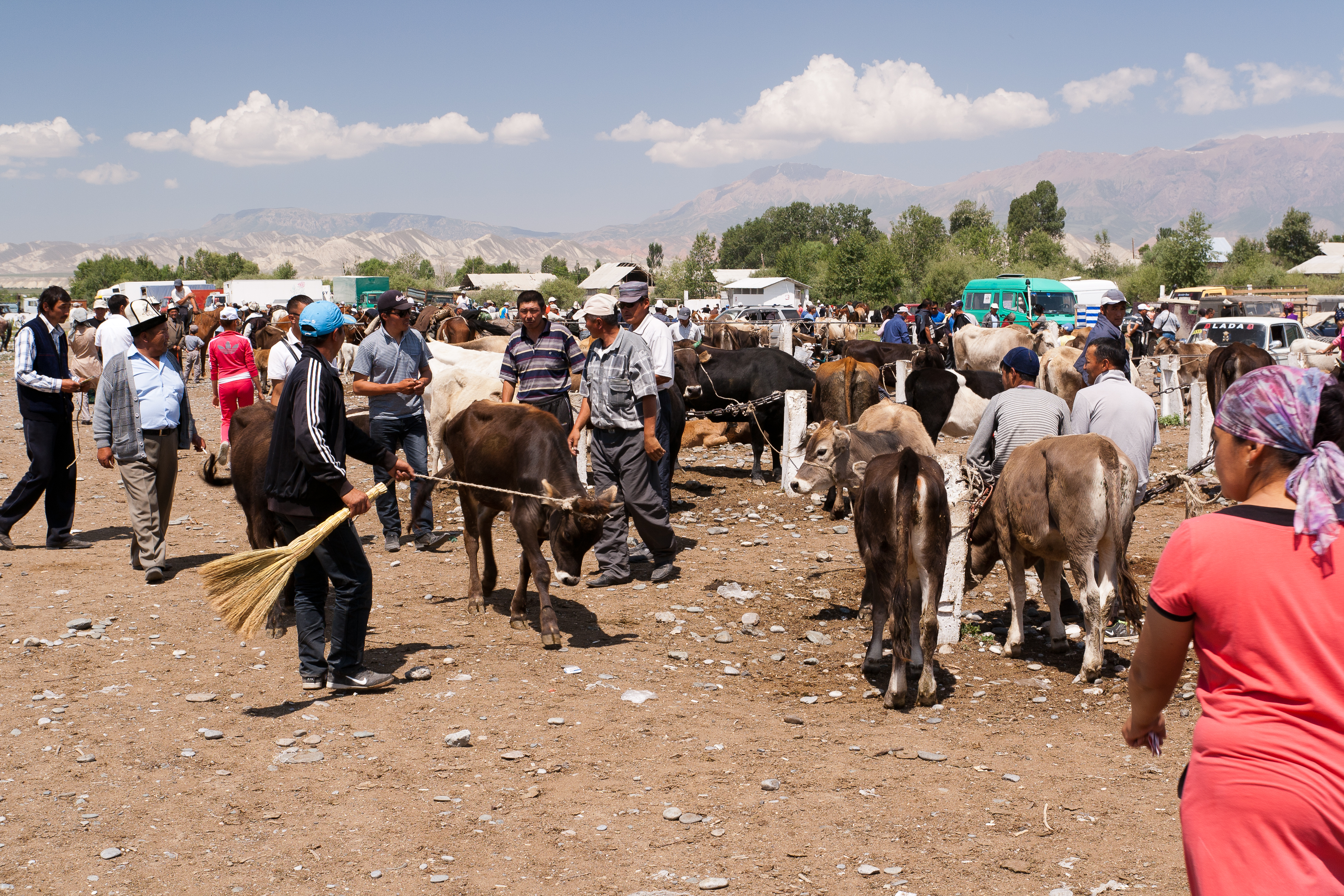
Naryn Region ( ky, Нарын облусу, Naryn oblusu; russian: Нарынская область, Narynskaya oblast) is the largest region ('' oblus'') of Kyrgyzstan. It is located in the east of the country and borders with Chüy Region in the north, Issyk-Kul Region in the northeast, Xinjiang Uyghur Autonomous Region of China in the southeast, Osh Region in the southwest, and Jalal-Abad Region in the west. Its capital is Naryn. Its total area is . The resident population of the region was 292,140 as of January 2021. The main highway runs from the Chinese border at Torugart Pass north to Balykchy on Issyk-Kul Lake. It is known as the location of Song Köl Lake and Chatyr-Kul Lake and Tash Rabat. The population of Naryn oblast is 99% Kyrgyz. The economy is dominated by animal herding (sheep, horses, yaks), with wool and meat as the main products. Mining of various minerals developed during the Soviet era has largely been abandoned as uneconomical. Today the oblast is ... [...More Info...] [...Related Items...] OR: [Wikipedia] [Google] [Baidu] |
List Of Sovereign States
The following is a list providing an overview of sovereign states around the world with information on their status and recognition of their sovereignty. The 206 listed states can be divided into three categories based on membership within the United Nations System: 193 member states of the United Nations, UN member states, 2 United Nations General Assembly observers#Present non-member observers, UN General Assembly non-member observer states, and 11 other states. The ''sovereignty dispute'' column indicates states having undisputed sovereignty (188 states, of which there are 187 UN member states and 1 UN General Assembly non-member observer state), states having disputed sovereignty (16 states, of which there are 6 UN member states, 1 UN General Assembly non-member observer state, and 9 de facto states), and states having a political status of the Cook Islands and Niue, special political status (2 states, both in associated state, free association with New Zealand). Compi ... [...More Info...] [...Related Items...] OR: [Wikipedia] [Google] [Baidu] |
Issyk-Kul Lake
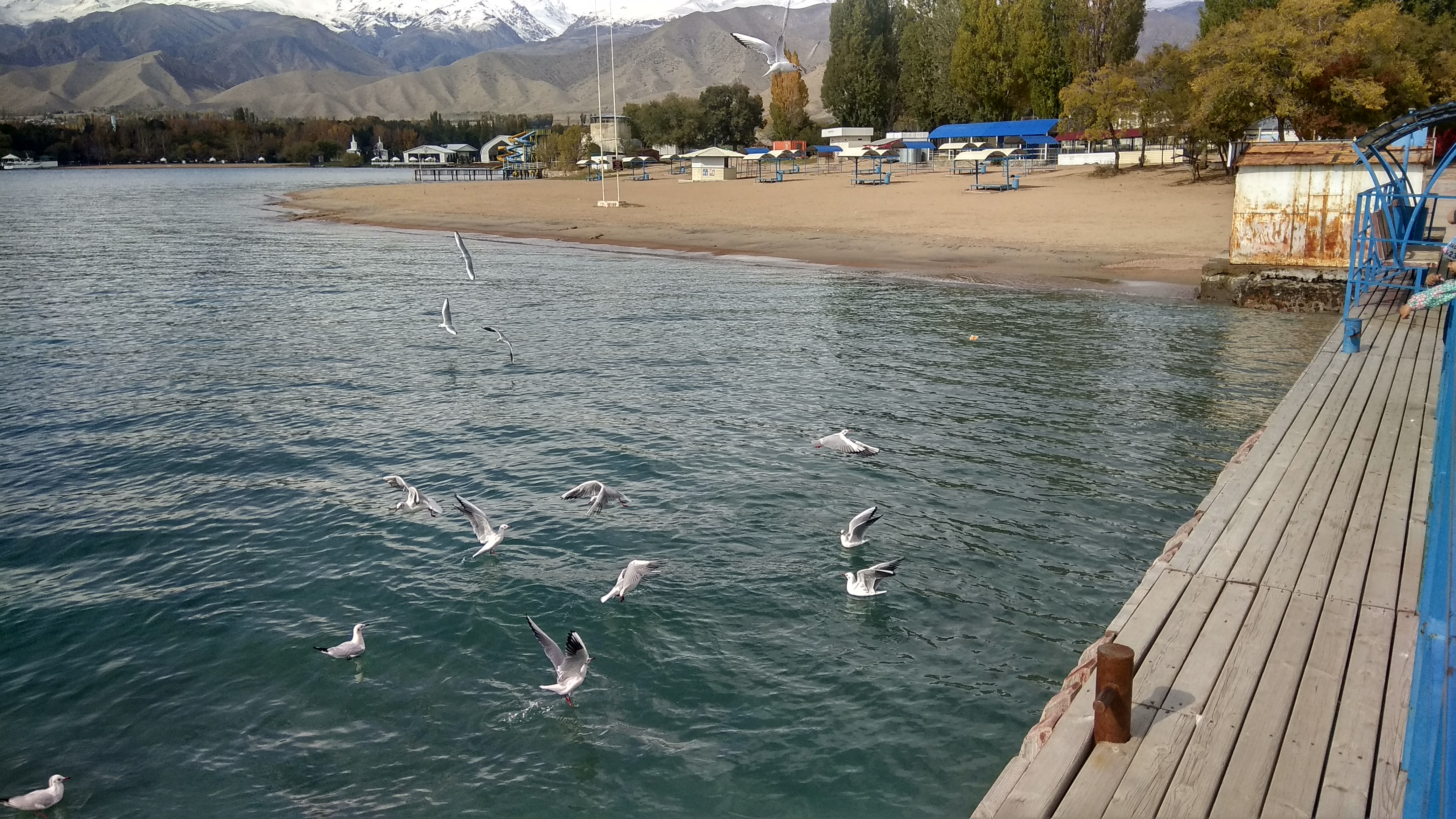
Issyk-Kul (also Ysyk-Köl, ky, Ысык-Көл, lit=warm lake, translit=Ysyk-Köl, , zh, 伊塞克湖) is an endorheic lake (i.e., without outflow) in the Northern Tian Shan mountains in Eastern Kyrgyzstan. It is the seventh-deepest lake in the world, the tenth-largest lake in the world by volume (though not in surface area) and the second-largest saline lake after the Caspian Sea. Issyk-Kul means "warm lake" in the Kyrgyz language; although it is located at a lofty elevation of and subject to severe cold during winter, it never freezes. The lake is a Ramsar site of globally significant biodiversity and forms part of the Issyk-Kul Biosphere Reserve. Geography Issyk-Kul Lake is long, up to wide and its area is . It is the second-largest mountain lake in the world behind Lake Titicaca in South America. It is at an altitude of and reaches in depth. About 118 rivers and streams flow into the lake; the largest are the Jyrgalang and Tüp. It is fed by springs, including man ... [...More Info...] [...Related Items...] OR: [Wikipedia] [Google] [Baidu] |
Kochkor District
Kochkor () is a district of Naryn Region in northern-central Kyrgyzstan. The administrative seat lies at Kochkor. Its area is , and its resident population was 67,363 in 2021. Population Populated places In total, Kochkor District includes 35 settlements in 11 rural communities ('). Each rural community comprises one or several villages. The rural communities and settlements in the Kochkor District are as follows: # Ak-Kyya (seat: ; incl. Jangy-Jol) # Cholpon (seat: Cholpon; incl. Ar ... [...More Info...] [...Related Items...] OR: [Wikipedia] [Google] [Baidu] |
Kyrgyzstan Jumgal Raion
Kyrgyzstan,, pronounced or the Kyrgyz Republic, is a landlocked country in Central Asia. Kyrgyzstan is bordered by Kazakhstan to the north, Uzbekistan to the west, Tajikistan to the south, and the People's Republic of China to the east. Its capital and largest city is Bishkek. Ethnic Kyrgyz make up the majority of the country's seven million people, followed by significant minorities of Uzbeks and Russians. The Kyrgyz language is closely related to other Turkic languages. Kyrgyzstan's history spans a variety of cultures and empires. Although geographically isolated by its highly mountainous terrain, Kyrgyzstan has been at the crossroads of several great civilizations as part of the Silk Road along with other commercial routes. Inhabited by a succession of tribes and clans, Kyrgyzstan has periodically fallen under larger domination. Turkic nomads, who trace their ancestry to many Turkic states. It was first established as the Yenisei Kyrgyz Khaganate later in the ... [...More Info...] [...Related Items...] OR: [Wikipedia] [Google] [Baidu] |
Chaek
, pushpin_map = Kyrgyzstan , mapsize = 200px , subdivision_type = Country , subdivision_name = Kyrgyzstan , subdivision_type1 = Region , subdivision_name1 = Naryn Region , subdivision_type2 = District , subdivision_name2 = Jumgal District , leader_title = , leader_name = , established_title = , established_date = , area_total_km2 = , population_footnotes = , population_as_of = 2021 , population_total = 3762 , population_density_km2 = , timezone = , utc_offset = +6 , timezone_DST = , utc_offset_DST = , coordinates = , elevation_m = 1682 , area_code = , website = Chaek ( ky, Чаек) is a village in Naryn Region of Kyrgyzstan on the A361 highway which crosses the north of the region. Its populat ... [...More Info...] [...Related Items...] OR: [Wikipedia] [Google] [Baidu] |
Jumgal District
Jumgal ( ky, Жумгал району, Jumgal rayonu) is a district of Naryn Region in central Kyrgyzstan Kyrgyzstan,, pronounced or the Kyrgyz Republic, is a landlocked country in Central Asia. Kyrgyzstan is bordered by Kazakhstan to the north, Uzbekistan to the west, Tajikistan to the south, and the People's Republic of China to the ea .... The administrative seat lies at Chaek. Its area is , and its resident population was 44,866 in 2021. It is a mountainous district. Its main rivers are the Kökömeren (a tributary to the river Naryn) and its tributaries Jumgal, Suusamyr and Batysh Karakol. Population Populated places In total, Jumgal District include 30 settlements in 13 rural communities ('). Each rural community includes one or several villages. The rural communities and settlements in the Jumgal District are as follows: [...More Info...] [...Related Items...] OR: [Wikipedia] [Google] [Baidu] |
Kyrgyzstan At-Bashy Raion
Kyrgyzstan,, pronounced or the Kyrgyz Republic, is a landlocked country in Central Asia. Kyrgyzstan is bordered by Kazakhstan to the north, Uzbekistan to the west, Tajikistan to the south, and the People's Republic of China to the east. Its capital and largest city is Bishkek. Ethnic Kyrgyz make up the majority of the country's seven million people, followed by significant minorities of Uzbeks and Russians. The Kyrgyz language is closely related to other Turkic languages. Kyrgyzstan's history spans a variety of cultures and empires. Although geographically isolated by its highly mountainous terrain, Kyrgyzstan has been at the crossroads of several great civilizations as part of the Silk Road along with other commercial routes. Inhabited by a succession of tribes and clans, Kyrgyzstan has periodically fallen under larger domination. Turkic nomads, who trace their ancestry to many Turkic states. It was first established as the Yenisei Kyrgyz Khaganate later in the ... [...More Info...] [...Related Items...] OR: [Wikipedia] [Google] [Baidu] |
At-Bashy
At-Bashy ( Kyrgyz: Ат-Башы) is a village in the Naryn Region of Kyrgyzstan, about 35km southwest of Naryn on the main highway to the Torugart Pass. It is the seat of At-Bashy District. The At-Bashy Range to the south extends to Lake Chatyr-Kul. The river At-Bashy comes in from the east and then runs northwest through a gorge in the Baybiche-Too range to join the Naryn near Dostuk Dostuk ( ky, Достук) is a village in Naryn District of Naryn Region of Kyrgyzstan on the river Naryn and highway A361 about 35 km west of Naryn. Its population was 750 in 2021. Until 2012 it was an urban-type settlement Urban-type .... It is the last considerable settlement before the Chinese border. The highway, built in 1906, runs southwest between the Baybiche-Too and At-Bashy ranges before turning south and then east to reach the pass. Its population was 14,655 in 2021. Population References Populated places in Naryn Region {{Naryn-geo-stub ... [...More Info...] [...Related Items...] OR: [Wikipedia] [Google] [Baidu] |
At-Bashy District
At-Bashy () is a district of Naryn Region in Kyrgyzstan. The administrative center is at At-Bashy. Its area is , and its resident population was 55,771 in 2021. The mountain lake Chatyr-Kul lies in the southwestern part of the district. Population Rural communities and villages In total, At-Bashy District includes 19 settlements in 11 rural communities (). Each rural community includes one or several villages. The rural communities and settlements in the At-Bashy District are as follows: # Acha-Kayyngdy (seat: Acha-Kayyngdy) # Ak-Jar (seat: Ak-Jar) # Ak-Moyun (seat: Ak-Moyun; incl. Birdik) # Ak-Muz (sea ... [...More Info...] [...Related Items...] OR: [Wikipedia] [Google] [Baidu] |
Kyrgyzstan Ak-Talaa Raion
Kyrgyzstan,, pronounced or the Kyrgyz Republic, is a landlocked country in Central Asia. Kyrgyzstan is bordered by Kazakhstan to the north, Uzbekistan to the west, Tajikistan to the south, and the People's Republic of China to the east. Its capital and largest city is Bishkek. Ethnic Kyrgyz make up the majority of the country's seven million people, followed by significant minorities of Uzbeks and Russians. The Kyrgyz language is closely related to other Turkic languages. Kyrgyzstan's history spans a variety of cultures and empires. Although geographically isolated by its highly mountainous terrain, Kyrgyzstan has been at the crossroads of several great civilizations as part of the Silk Road along with other commercial routes. Inhabited by a succession of tribes and clans, Kyrgyzstan has periodically fallen under larger domination. Turkic nomads, who trace their ancestry to many Turkic states. It was first established as the Yenisei Kyrgyz Khaganate later in the ... [...More Info...] [...Related Items...] OR: [Wikipedia] [Google] [Baidu] |
Baetov
Baetov ( ky, Баетов; russian: Баетово, until 1980 ''Dyurbeldzhin'') is a village and a center of Ak-Talaa District in Naryn Region of Kyrgyzstan. Its population was 10,682 in 2021. It lies on the Naryn valley road about half-way from Naryn to Kazarman. At this point, a road branches south to Baetov on an outwash plain in the mountains. A jeep road goes south over a 3,268m pass to the At-Bashy valley and A365 to the Torugart Pass Torugart Pass (; ; ) is a mountain pass in the Tian Shan mountain range near the border between the Naryn Region of Kyrgyzstan and the Xinjiang Autonomous Region of China. It is one of two border crossings between Kyrgyzstan and China, the other .... Population References Populated places in Naryn Region {{Naryn-geo-stub ... [...More Info...] [...Related Items...] OR: [Wikipedia] [Google] [Baidu] |
Ak-Talaa District
Ak-Talaa ( ky, Ак-Талаа району, romanised: Ak-Talaa rayonu) is a district of Naryn Region in Kyrgyzstan. The administrative seat lies at Baetov. Its area is , and its resident population was 33,007 in 2021. Geography The district is located in the western part of Naryn Region and it is confined by Moldo Too from north and north-east, Baybiche Too from south and south-east, and Fergana Range from west. The mountains are characterized by severely dissected topography and high gravitational energy of slopes. The differences in absolute mean sea levels ranges from 2600 to 4737 m in mountains, and from 1500 to 2600 - in valleys. Approximately 87.5% of the district is occupied by mountains, and 12.5% - by valleys. The hydrological conditions are dominated by Naryn, Ala-Buga and their tributaries Terek, Jaman-Davan, Komorchok, Kurtka, Korgon, etc. Lake Song-Köl is at the northern border of the district. Climate Minimum temperatures in winter can be as low as -25°C in v ... [...More Info...] [...Related Items...] OR: [Wikipedia] [Google] [Baidu] |


