|
Nossa Senhora Da Conceição (São Filipe)
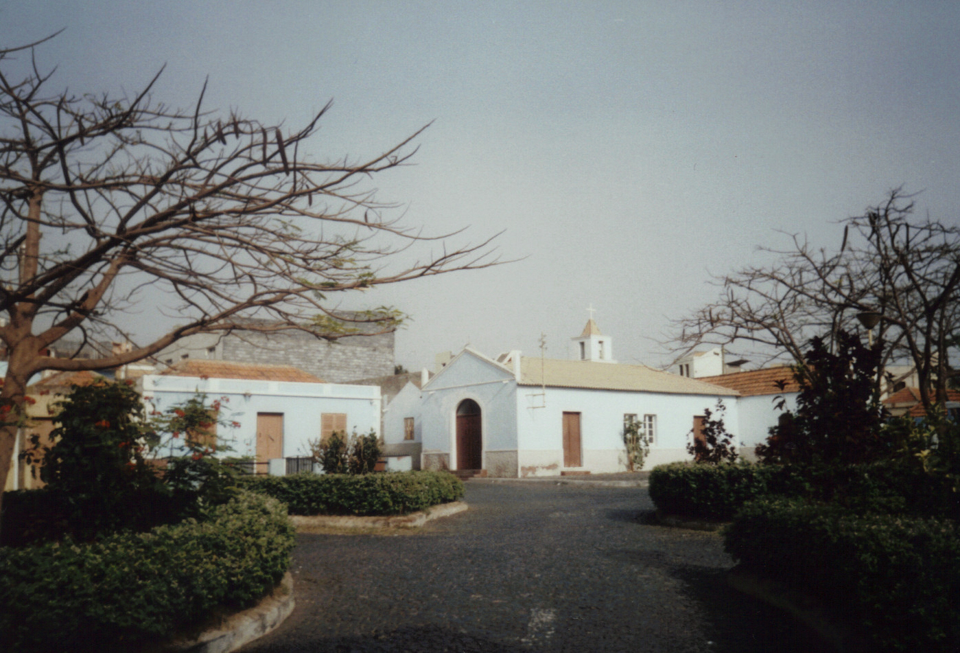
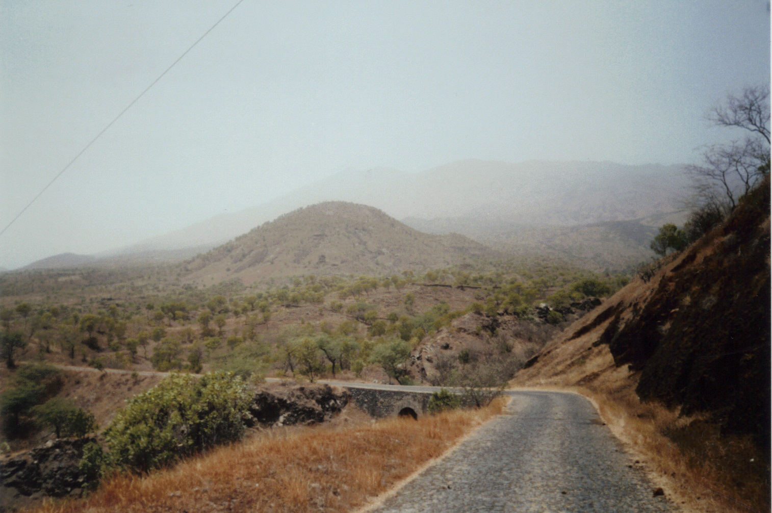
Nossa Senhora da Conceição is a ''Administrative divisions of Cabo Verde, freguesia'' (civil parish) of Cape Verde. It covers the southern part of the municipality of São Filipe, Cape Verde (municipality), São Filipe, on the island of Fogo, Cape Verde, Fogo. The ''freguesia'' consists of the following settlements: Settlements The ''freguesia'' consists of the following settlements, its population data was of the 2010 census: *Brandão, Cape Verde, Brandão (pop: 198) *Cabeça do Monte (pop: 282) *Curral Ochô (pop: 210) *Cutelo (pop: 126) *Forno, Cape Verde, Forno (pop: 323) *Jardim, Cape Verde, Jardim (pop: 322) *Lacacã (pop: 153) *Lagariça (pop: 407) *Luzia Nunes (pop: 438) *Miguel Gonçalves (pop: 119) *Monte Grande (Fogo), Monte Grande (pop: 743) *Monte Largo (pop: 274) *Patim (pop: 876, town) *Salto, Cape Verde, Salto (pop: 116) *São Filipe, Cape Verde, São Filipe (pop: 8,122, city) [...More Info...] [...Related Items...] OR: [Wikipedia] [Google] [Baidu] |
Administrative Divisions Of Cabo Verde
The territory of Cape Verde is divided into 22 ''concelhos'' (municipalities), and subdivided into 32 ''freguesias'' (equivalent to civil parish). In Portuguese language usage, there are two words to distinguish the territory and the administrative organ. Administratively, right below the government, there are the ''municípios'' (municipalities), who administrate the ''concelhos''. Therefore, the ''concelhos'' are the first-level administrative subdivision in Cape Verde. Each municipality has an ''Assembleia Municipal'' (municipal assembly, the legislative body) and a ''Câmara Municipal'' (municipal chamber, the executive body). Every four years elections are held for the Assembleia Municipal, the Câmara Municipal and the President of the Câmara Municipal. Where a municipality consists of several ''freguesias'' (civil parishes), a ''Delegação Municipal'' (municipal delegation) is established in the parishes that do not contain the municipal seat. The islands are traditional ... [...More Info...] [...Related Items...] OR: [Wikipedia] [Google] [Baidu] |
Miguel Gonçalves
Miguel Gonçalves is a settlement in the central part of the island of Fogo, Cape Verde. It is situated at about 850 m elevation, 8 km east of the island capital São Filipe. See also *List of villages and settlements in Cape Verde This is a list of villages and smaller settlements in Cape Verde: Boa Vista * Bofarreira * Cabeça dos Tarrafes * Curral Velho - abandoned settlement * Espingueira - abandoned settlement * Estância de Baixo * Fundo das Figueiras * João Ga ... References {{DEFAULTSORT:Miguel Goncalves Villages and settlements in Fogo, Cape Verde São Filipe, Cape Verde ... [...More Info...] [...Related Items...] OR: [Wikipedia] [Google] [Baidu] |
Geography Of Fogo, Cape Verde
Geography (from Greek: , ''geographia''. Combination of Greek words ‘Geo’ (The Earth) and ‘Graphien’ (to describe), literally "earth description") is a field of science devoted to the study of the lands, features, inhabitants, and phenomena of Earth. The first recorded use of the word γεωγραφία was as a title of a book by Greek scholar Eratosthenes (276–194 BC). Geography is an all-encompassing discipline that seeks an understanding of Earth and its human and natural complexities—not merely where objects are, but also how they have changed and come to be. While geography is specific to Earth, many concepts can be applied more broadly to other celestial bodies in the field of planetary science. One such concept, the first law of geography, proposed by Waldo Tobler, is "everything is related to everything else, but near things are more related than distant things." Geography has been called "the world discipline" and "the bridge between the human and th ... [...More Info...] [...Related Items...] OR: [Wikipedia] [Google] [Baidu] |
Vicente Dias
Vicente Dias is a settlement in the western part of the island of Fogo, Cape Verde. It is situated 2 km northwest of Luzia Nunes and 5 km east of the island capital São Filipe. See also *List of villages and settlements in Cape Verde This is a list of villages and smaller settlements in Cape Verde: Boa Vista * Bofarreira * Cabeça dos Tarrafes * Curral Velho - abandoned settlement * Espingueira - abandoned settlement * Estância de Baixo * Fundo das Figueiras * João Ga ... References {{CapeVerde-geo-stub Villages and settlements in Fogo, Cape Verde São Filipe, Cape Verde ... [...More Info...] [...Related Items...] OR: [Wikipedia] [Google] [Baidu] |
Instituto Nacional De Estatística (Cape Verde)
The Instituto Nacional de Estatística (Portuguese for the ''National Statistics Institute'', abbreviated as INE) is the public statistics institute of Cape Verde. Its current president is Osvaldo Rui Monteiro dos Reis Borges. The population censuses are held every first year of a decade; the most recent was in 2010. Its main office is on 18 Rua da Caixa Económica in the capital city of Praia. History Until 1975, under Portuguese rule, statistics were done by the Provincial Statistics Bureau (''Repartição Provincial de Estatística''), part of the Instituto Nacional de Estatística of Portugal. When Cape Verde became independent, the ''Serviço Nacional de Estatística'' (SNE, Portuguese for the National Statistics Service) was established, part of the Ministry of Economy. Its first president was Edgard Chrysostome Pinto. At the end of 1985, the Directorate-General of Statistics was created. In 1996, the new law of the National Statistics System was approved, and the ''Istituto ... [...More Info...] [...Related Items...] OR: [Wikipedia] [Google] [Baidu] |
São Filipe, Cape Verde
São Filipe (Portuguese for "Saint Philip") is a cityCabo Verde, Statistical Yearbook 2015 Instituto Nacional de Estatística, p. 32-33 on the west coast of the island of Fogo, . It is the capital of the island, and the seat of the São Filipe Municipality. The island's a ... [...More Info...] [...Related Items...] OR: [Wikipedia] [Google] [Baidu] |
Salto, Cape Verde
Salto is a settlement in the southern part of the island of Fogo, Cape Verde. It is situated southwest of Monte Largo and southeast of the island capital São Filipe. The village has a sightworthy church and some small shops, but no accommodation for tourists.Nuno Augusto: ''Cabo Verde - un mundo a descobrir.'', p.37, Lisboa 2009. Most of the inhabitants are farmers growing potatoes, vegetables and papayas. Several fields are irrigated using drip irrigation. Many fields were surrounded by stone walls to protect them against erosion. Gallery Image:SaltoFarm.jpg, Farm using drip irrigation in Salto. Image:SaltoCampo.jpg, Field with drip irrigation in Salto. See also *List of villages and settlements in Cape Verde This is a list of villages and smaller settlements in Cape Verde: Boa Vista * Bofarreira * Cabeça dos Tarrafes * Curral Velho - abandoned settlement * Espingueira - abandoned settlement * Estância de Baixo * Fundo das Figueiras * João Ga ... References ... [...More Info...] [...Related Items...] OR: [Wikipedia] [Google] [Baidu] |
Patim
Patim is a townCabo Verde, Statistical Yearbook 2015 Instituto Nacional de Estatística, p. 32-33 in the southwestern part of the island of Fogo, Cape Verde. It is situated 8 km southeast of the island capital São Filipe. At the 2010 census its population was 876. Its elevation is 535 meters. It is 2 km east of [...More Info...] [...Related Items...] OR: [Wikipedia] [Google] [Baidu] |
Monte Largo
Monte Largo is a settlement in the southern part of the island of Fogo, Cape Verde. It is situated 1.5 km northeast of Salto, 3 km southeast of Monte Grande, 3 km west of Achada Furna and east of the island capital São Filipe. At the 2010 census its population was 274. Its elevation is about 800 meters. See also *List of villages and settlements in Cape Verde This is a list of villages and smaller settlements in Cape Verde: Boa Vista * Bofarreira * Cabeça dos Tarrafes * Curral Velho - abandoned settlement * Espingueira - abandoned settlement * Estância de Baixo * Fundo das Figueiras * João Ga ... References {{Fogo Villages and settlements in Fogo, Cape Verde São Filipe, Cape Verde ... [...More Info...] [...Related Items...] OR: [Wikipedia] [Google] [Baidu] |
Monte Grande (Fogo)
Monte Grande is a settlement in the central part of the island of Fogo, Cape Verde. It is situated at about 900 m in elevation, 10 km east of the island capital São Filipe. In 2010 its population was 743. Nearby places include Monte Largo to the southeast, Patim to the southwest and Miguel Gonçalves to the northwest. See also *List of villages and settlements in Cape Verde This is a list of villages and smaller settlements in Cape Verde: Boa Vista * Bofarreira * Cabeça dos Tarrafes * Curral Velho - abandoned settlement * Espingueira - abandoned settlement * Estância de Baixo * Fundo das Figueiras * João Ga ... References Villages and settlements in Fogo, Cape Verde São Filipe, Cape Verde {{CapeVerde-geo-stub ... [...More Info...] [...Related Items...] OR: [Wikipedia] [Google] [Baidu] |
Luzia Nunes
Luzia Nunes is a settlement in the southwestern part of the island of Fogo, Cape Verde. It is situated 1.5 km west of Patim, 2 km southeast of Vicente Dias and 7 km southeast of the island capital São Filipe. At the 2010 census its population was 438. See also *List of villages and settlements in Cape Verde This is a list of villages and smaller settlements in Cape Verde: Boa Vista * Bofarreira * Cabeça dos Tarrafes * Curral Velho - abandoned settlement * Espingueira - abandoned settlement * Estância de Baixo * Fundo das Figueiras * João Ga ... References Villages and settlements in Fogo, Cape Verde São Filipe, Cape Verde {{CapeVerde-geo-stub ... [...More Info...] [...Related Items...] OR: [Wikipedia] [Google] [Baidu] |

