|
North Carolina Highway 10
North Carolina Highway 10 (NC 10) is a primary state highway in the U.S. state of North Carolina. Originally established as the state's central highway, from Murphy to Beaufort, it now serves to connect the city of Newton with the nearby communities and towns in the foothills region. Route description Cleveland County The current western terminus for NC 10 is in Polkville. The road forks from NC 226 and heads north out of town, curving through the North Carolina foothills as Casar Road. NC 10 passes through the town of Casar. The road makes a curve to the east at Leman Gap Road, continuing for several more miles until meeting with the northern terminus of NC 27. It crosses into Lincoln county soon after that. Lincoln County After NC 10 enters Lincoln County, it meets NC 18, which is concurrent with NC 10 for about one mile until the community of Laurel Hill. NC 18 then heads northwest as NC 10 continues east-northeast. The route crosses into Catawba County. ... [...More Info...] [...Related Items...] OR: [Wikipedia] [Google] [Baidu] |
Polkville, North Carolina
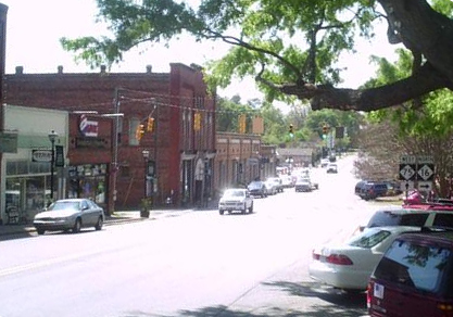
Polkville is a small city in Cleveland County, North Carolina, United States. The population was 545 at the 2010 census. History The John Lattimore House was listed on the National Register of Historic Places in 1982. Geography Polkville is located in northwestern Cleveland County at (35.417528, -81.642738). North Carolina Highway 226 passes through the center of the town, leading southeast to Shelby and northwest over the South Mountains to Marion. North Carolina Highway 182 has its western terminus in Polkville at NC 226, and leads east to Lincolnton. North Carolina Highway 10 has its southwestern terminus in Polkville, leading northeast to Newton. According to the United States Census Bureau, Polkville has a total area of , all land. Demographics As of the census of 2010, there were 545 people, 231 households, and 157 families residing in the city. The population density was 283.5 people per square mile (109.3/km). There were 234 housing units at an average dens ... [...More Info...] [...Related Items...] OR: [Wikipedia] [Google] [Baidu] |
Propst Crossroads (born 1958), American football coach
*Stephen Propst, Architect
*Dr. Arthur Propst, Psychiatrist
*Dr. Lara Propst (born 1972), Psychiatrist
*Dr. Evan Propst (born 1975), Otolaryngologist - Head & Neck Surgeon
*Dr. Lisa Propst, Author and Professor of literature
*Dr. Alanna Propst, Psychiatrist
{{Disambiguation ...
Propst may refer to: *Propst (title), German ecclesiastical title *Propst Airport, private airport in Linn County, Oregon, USA People *Clyde Propst (died 1959), American college football coach *Jake Propst (1895–1967), American baseball player *Robert Propst (inventor) (1921–2000), American inventor *Robert Bruce Propst (born 1931), American judge *Rush Propst Thomas Rush Propst (born December 1957) is a high school football coach who currently serves as athletic director and associate football coach at Coosa Christian School in Gadsden, Alabama. He is also the former head coach at Colquitt County ... [...More Info...] [...Related Items...] OR: [Wikipedia] [Google] [Baidu] |
Hiwassee River
The Hiwassee River has its headwaters on the north slope of Rocky Mountain in Towns County in the northern area of the State of Georgia. It flows northward into North Carolina before turning westward into Tennessee, flowing into the Tennessee River a few miles west of what is now State Route 58 in Meigs County, Tennessee. The river is about long. Hydrography The river is dammed by the Tennessee Valley Authority (TVA) in four locations, all in Western North Carolina: Chatuge Dam, Mission Dam (not owned by TVA), Hiwassee Dam, and Apalachia Dam. Water is diverted from the stream bed at Apalachia Dam and sent through a pipeline, which is tunneled through the mountains for eight miles (13 km); then it flows through the Apalachia Powerhouse to generate electricity. The stretch of the river that flows between Apalachia Dam and Apalachia Powerhouse features reduced flow. The John Muir Trail in Tennessee's Cherokee National Forest goes along this part of the river. The stretch ... [...More Info...] [...Related Items...] OR: [Wikipedia] [Google] [Baidu] |
Bellview, North Carolina
Bellview is an unincorporated community in Cherokee County, in the U.S. state of North Carolina. It is part of Notla Township, and is located immediately north of the Georgia border, about 10 miles south of Murphy, NC. Its average elevation is 1800 feet (549 m) above sea level. U.S. Route 19 U.S. Route 19 (US 19) is a north–south U.S. Highway in the Eastern United States. Despite encroaching Interstate Highways, the route has remained a long-haul road, connecting the Gulf of Mexico with Lake Erie. The highway's southern ... is the main highway through Bellview. History A schoolhouse, Bellview Academy, was established at Bellview in the 1870s. A variant name is "Bell View". References Unincorporated communities in North Carolina Unincorporated communities in Cherokee County, North Carolina {{CherokeeCountyNC-geo-stub ... [...More Info...] [...Related Items...] OR: [Wikipedia] [Google] [Baidu] |
US 19
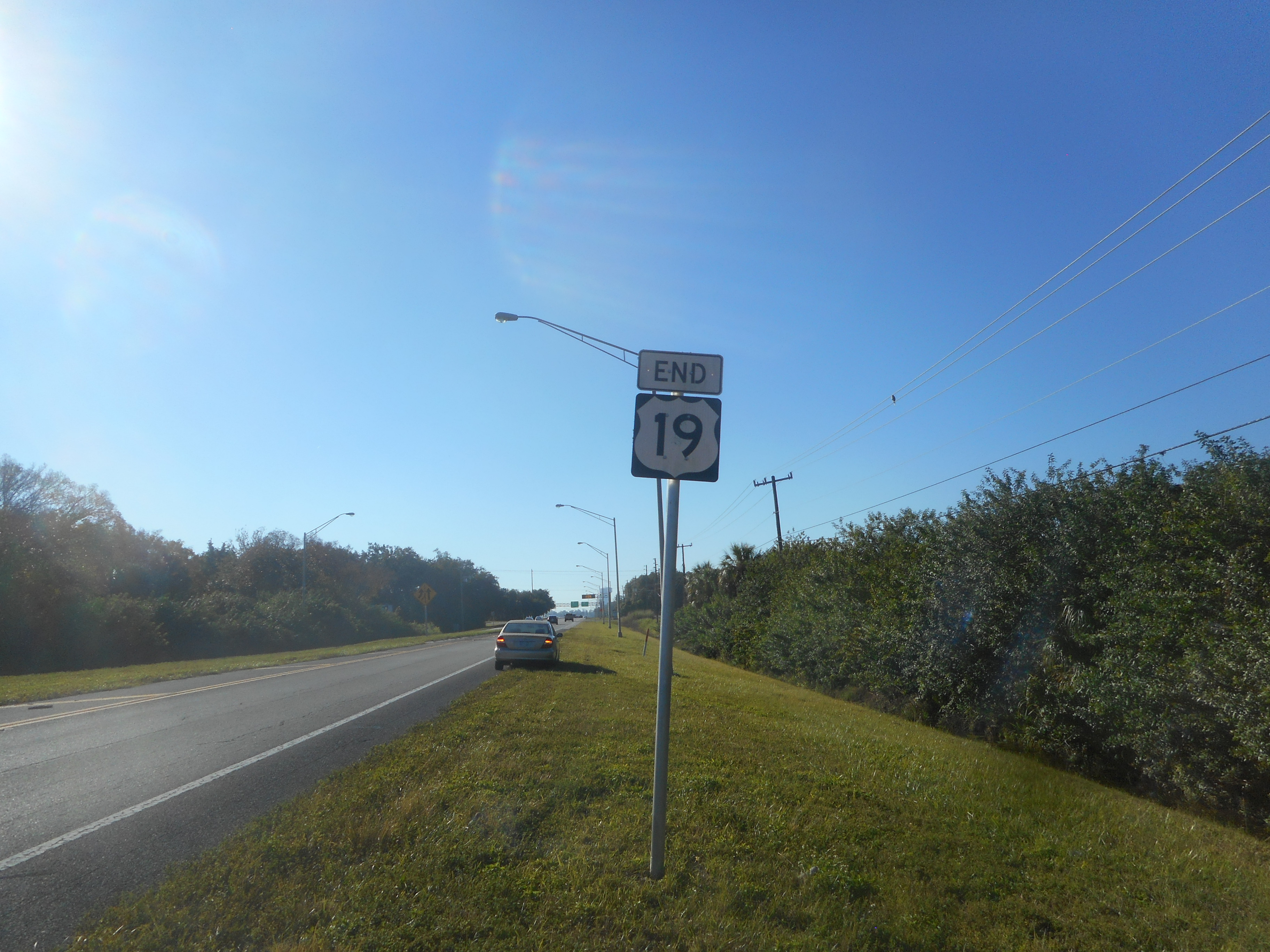
U.S. Route 19 (US 19) is a north–south U.S. Highway in the Eastern United States. Despite encroaching Interstate Highways, the route has remained a long-haul road, connecting the Gulf of Mexico with Lake Erie. The highway's southern terminus is at Memphis, Florida, which is just south of St. Petersburg at an intersection with U.S. Route 41. Its northern terminus is in Erie, Pennsylvania, at an intersection with U.S. Route 20 about two miles (3 km) from the shores of Lake Erie. The length of the highway is , including both U.S. Route 19E/U.S. Route 19W paths through North Carolina and Tennessee. Route description , - , FL , align="right", 262.0 , align="right", 421.6 , - , GA , align="right", 348.0 , align="right", 560.1 , - , NC , align="right", 145.0 , align="right", 233.4 , - , 19E , align="right", 75.9 , align="right", 122.1 , - , 19W , align="right", 62.6 , align="right", 100.7 , - , TN , align="right", 11.8 , align="right", 19.0 ... [...More Info...] [...Related Items...] OR: [Wikipedia] [Google] [Baidu] |
US 70
U.S. Route 70 or U.S. Highway 70 (US 70) is an east–west United States highway that runs for from eastern North Carolina to east-central Arizona. It is a major east–west highway of the Southeastern, Southern and Southwestern United States. Established as one of the original highways of 1926, it originally ran only to Holbrook, Arizona, then was extended in 1934 as a coast to coast route, with the current Eastern terminus near the Atlantic Ocean in Atlantic, North Carolina, and the former Western terminus near the Pacific Ocean in Los Angeles, California. The current Western terminus was then truncated to US 60 / SR 77 in Globe, Arizona. Before the completion of the Interstate system, U.S. Highway 70 was sometimes referred to as the "Broadway of America", due to its status as one of the main east–west thoroughfares in the nation. It was also promoted as the "Treasure Trail" by the U.S. Highway 70 Association as of 1951. In the early years, US 70 had a different route ... [...More Info...] [...Related Items...] OR: [Wikipedia] [Google] [Baidu] |
Wikimedia Commons
Wikimedia Commons (or simply Commons) is a media repository of free-to-use images, sounds, videos and other media. It is a project of the Wikimedia Foundation. Files from Wikimedia Commons can be used across all of the Wikimedia projects in all languages, including Wikipedia, Wikivoyage, Wikisource, Wikiquote, Wiktionary, Wikinews, Wikibooks, and Wikispecies, or downloaded for offsite use. As of July 2022, the repository contains over 87 million free-to-use media files, managed and editable by registered volunteers. Statistics page on Wikimedia Commons History The idea for the project came from Erik Möller in March 2004 and Wikimedia Commons were launched in September 7, 2004. In July 2013, the number of edits on Commons reached 100,000,000. Since 2018 it became possible to upload 3D models to the site. One of the first models uploaded to Commons was a reconstruction of the Asad Al-Lat statue which was destroyed in Palmyra by the ISIL in 2015. Various notable organizati ... [...More Info...] [...Related Items...] OR: [Wikipedia] [Google] [Baidu] |
Cameron Morrison
Cameron A. Morrison (October 5, 1869August 20, 1953) was an American politician and the 55th governor of the U.S. state of North Carolina from 1921 to 1925. Early life and career He was born in 1869 in Richmond County, North Carolina. In 1898, Morrison participated in the Wilmington insurrection of 1898, a violent coup d'état by a group of white supremacists. They expelled opposition black and white political leaders from the city, destroyed the property and businesses of black citizens built up since the Civil War, including the only black newspaper in the city, and killed an estimated 60 to more than 300 people. The governor of North Carolina, Daniel Lindsay Russell, was forced to flee from Wilmington to Raleigh. Morrison boarded Russell's train in Maxton, North Carolina in the company of a small band of Red Shirts and warned Russell that a more hostile band of Red Shirts were waiting at a later stop. He advised Russell to hide in the baggage car to avoid being lynched, ... [...More Info...] [...Related Items...] OR: [Wikipedia] [Google] [Baidu] |
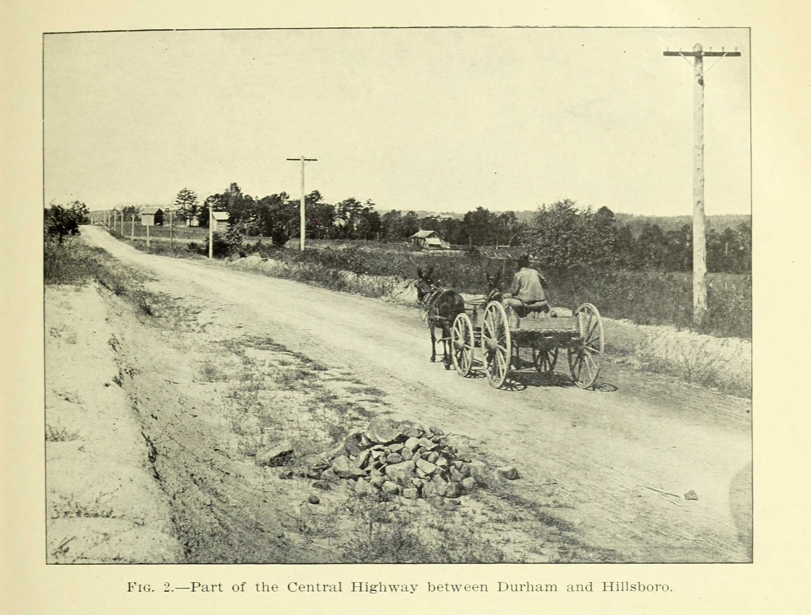
Part Of The Central Highway Between Durham And Hillsboro
Part, parts or PART may refer to: People *Armi Pärt (born 1991), Estonian handballer * Arvo Pärt (born 1935), Estonian classical composer *Brian Part (born 1962), American child actor *Dealtry Charles Part (1882–1961), sheriff (1926–1927) and Lord Lieutenant (1943–1957) of Bedfordshire, racehorse owner * Dionysius Part (also known as ''Denys Part''; died 1475), Roman Catholic prelate, Auxiliary Bishop of Mainz (1474–1475) *John Part (born 1966), Canadian darts player * Michael Pärt (born 1977), Estonian music producer and film composer *Veronika Part (born 1978), Russian ballet dancer *Pärt Uusberg (born 1986), Estonian composer and conductor * Parts (surname) Arts, entertainment, and media *Part (music), a single strand or melody or harmony of music within a larger ensemble or a polyphonic musical composition * ''Parts'' (book), a 1997 children's book by Tedd Arnold Transportation * Pottstown Area Rapid Transit (PART), Pennsylvania, U.S. *Putnam Area Rapid Transit (P ... [...More Info...] [...Related Items...] OR: [Wikipedia] [Google] [Baidu] |
Statesville, North Carolina
Statesville is a city in and the county seat of Iredell County, North Carolina, United States, and it is part of the Charlotte metropolitan area. Statesville was established in 1789 by an act of the North Carolina Legislature. The population was recorded as 95 in the 1800 Census. The population was 28,419 at the time of the 2020 United States census, 2020 census. History In 1753, Scotch-Irish Americans, Scots-Irish Presbyterians and German Americans, German Lutherans, who had originally settled in Pennsylvania, began arriving in what would become Statesville in 1789Keever, Homer M.; ''Iredell Piedmont County'', with illustrations by Louise Gilbert and maps by Mild red Jenkins Miller, published for the Iredell County Bicentennial Commission by Brady Printing Company from type set by the Statesville Record and Landmark, copyright, November 1976 to plant crops in the fertile soil where game and water were also plentiful. The settlement, known as Fourth Creek Congregation, was named ... [...More Info...] [...Related Items...] OR: [Wikipedia] [Google] [Baidu] |
Interstate 40
Interstate 40 (I-40) is a major east–west Interstate Highway running through the south-central portion of the United States. At a length of , it is the third-longest Interstate Highway in the country, after I-90 and I-80. From west to east, it passes through California, Arizona, New Mexico, Texas, Oklahoma, Arkansas, Tennessee, and North Carolina. Its western end is at I-15 in Barstow, California, while its eastern end is at a concurrency of U.S. Route 117 (US 117) and North Carolina Highway 132 (NC 132) in Wilmington, North Carolina. Major cities served by the interstate include Flagstaff, Arizona; Albuquerque, New Mexico; Amarillo, Texas; Oklahoma City, Oklahoma; Little Rock, Arkansas; Memphis, Nashville, and Knoxville in Tennessee; and Asheville, Winston-Salem, Greensboro, Durham, Raleigh, and Wilmington in North Carolina. Much of the western part of I-40, from Barstow to Oklahoma City, parallels or overlays the historic U.S. Route 66. East of Oklaho ... [...More Info...] [...Related Items...] OR: [Wikipedia] [Google] [Baidu] |
NC 16
North Carolina Highway 16 (NC 16) is a 143.8-mile (231.4 km) primary state highway in the U.S. state of North Carolina. Traveling in a north–south direction, it connects the cities and towns of Charlotte, Newton, Conover, Taylorsville, Wilkesboro and Jefferson, linking the Charlotte metropolitan area with the mountainous High Country. NC 16 is part of a three-state route 16 that connects the Charlotte region with northwestern West Virginia. Route description NC 16 is part of a three-state highway 16, that totals , from Waxhaw, North Carolina to St. Marys, West Virginia. NC 16 begins as a two-lane road in Waxhaw, from its intersection with NC 75 (Main Street), it travels north along Broome Street to Weddington, where it widens to four-lane and becomes Providence Road. After crossing the Union-Mecklenburg county line, it enters Charlotte's city limit. Along Providence Road, NC 16 connects with I-485 (exit 57) and NC 51 (Pinev ... [...More Info...] [...Related Items...] OR: [Wikipedia] [Google] [Baidu] |


