|
Nigerian Building And Road Research Institute (NBBRI)
The Nigerian Building and Road Research Institute (NBRRI) is a Government of Nigeria institute responsible for researching and developing road and building materials for the Nigerian building industry. The institute is under the Federal Ministry of Science and Technology of Nigeria. History The institute replaced the West African Building Research Institute which was established in 1952 by building professionals from Ghana and Nigeria in Accra, Ghana. Membership of the institute was made up of building engineers from both countries. When Nigeria gained independence from Britain, the Nigerian members of the institute left the West African Building Research Institute to form the Nigerian Building and Road Research Institute in 1978. The Ghanaian members formed the Building Research Institute of the Ghana Academy of Arts and Sciences. Locations The headquarter of NBRRI is in Abuja, Nigeria. There are four zonal offices that facilitates the institutes activities: #Eastern Zonal Offic ... [...More Info...] [...Related Items...] OR: [Wikipedia] [Google] [Baidu] |
Lagos
Lagos (Nigerian English: ; ) is the largest city in Nigeria and the List of cities in Africa by population, second most populous city in Africa, with a population of 15.4 million as of 2015 within the city proper. Lagos was the national capital of Nigeria until December 1991 following the Government of Nigeria, government's decision to move their capital to Abuja in the center of the country. The Lagos metropolitan area has a total Population and housing censuses by country, population of roughly 23.5 million as of 2018, making it List of urban areas in Africa by population, the largest metropolitan area in Africa. Lagos is a major African financial center and is the economic hub of Lagos State and Nigeria at large. The city has been described as the cultural, financial, and entertainment capital of Africa, and is a significant influence on commerce, entertainment, technology, education, politics, tourism, art, and fashion. Lagos is also among the top ten of the world's fast ... [...More Info...] [...Related Items...] OR: [Wikipedia] [Google] [Baidu] |
Building And Road Research Institute
The Building and Road Research Institute (BRRI) is a research Institute under the Council for Scientific and Industrial Research of Ghana. It is based in Kumasi in the Ashanti Region of Ghana. BRRI is a research institute. History The institute was established in 1952 and was known as the West African Building Research Institute in Accra. It was made up of building engineers from Ghana and Nigeria. The institute had a name change in 1960 when the institute's members from Nigeria left to form the Nigerian Building and Road Research Institute. This was because Nigeria had gained independence from Britain. It became known as the Building Research Institute of the Ghana Academy of Arts and Sciences. The institute relocated to the campus of the Kwame Nkrumah University of Science and Technology in Kumasi in 1963. This was to allow the institute's members to lecture at the university due to university under-staffing. Professional bodies of the institute The institute is made up of v ... [...More Info...] [...Related Items...] OR: [Wikipedia] [Google] [Baidu] |
Ogun State
Ogun State is a state in southwestern Nigeria. Created on 3 February 1976 from the former Western State. Ogun State borders Lagos State to the south, Oyo State and Osun State to the north, Ondo State to the east, and the Republic of Benin to the west. Abeokuta is both Ogun State's capital and most populous city; other important cities in the state include Ijebu Ode, the royal capital of the Ijebu Kingdom, and Sagamu, Nigeria's leading kola nut grower. Ogun state is covered predominantly by rain forest and has wooden savanna in the northwest . Ogun State had a total population of 3,751,140 residents as of 2006, making Ogun State the 16th most populated state in Nigeria In terms of landmass, Ogun State is the 24th largest State in Nigeria with land area of 16,762 kilometer square. Nicknamed the "Gateway to Nigeria", the state is notable for having a high concentration of industrial Estates and being a major manufacturing hub in Nigeria. Major factories in Ogun include the Dangote ... [...More Info...] [...Related Items...] OR: [Wikipedia] [Google] [Baidu] |
Ota, Ogun
Ota (alternatively spelled Otta') is a town in Ogun State, Nigeria with an estimated 163,783 residents. Ota is the capital of the Ado-Odo/Ota Local Government Area. The traditional leader of Ota is the Olota of Ota, Oba Adeyemi AbdulKabir Obalanlege. Historically, Ota is the capital of the Awori Yoruba tribe. As of 1999, Ota has the third largest concentration of industries in Nigeria. It also possesses a large market and an important road junction, found just north of the tollgate on the Lagos - Abeokuta Expressway. Ota is well known because it is home to Obasanjo Farms Nigeria Limited belonging to the former Nigerian president, Olusegun Obasanjo. Ota is also the location of Canaanland which is the campus of the megachurch Winners' Chapel, as well as home to the Africa Leadership Forum. History Traditional Awori Yoruba folklore tells that Olofin's children, Osolo and Eleidi Atalabi founded Ota after migrating south from Isheri. As the town developed, it eventually came to be l ... [...More Info...] [...Related Items...] OR: [Wikipedia] [Google] [Baidu] |
Kano State
Kano State (Hausa: ''Jihar Kano''جىِهَر كَنوُ) (Fula: Leydi Kano 𞤤𞤫𞤴𞤣𞤭 𞤳𞤢𞤲𞤮𞥅 ) is one of the 36 states of Nigeria, located in the northern region of the country. According to the national census done in 2006, Kano State is the most populous in Nigeria. The recent official estimates taken in 2016 by the National Bureau of Statistics found that Kano State was still the largest state by population in Nigeria. Created in 1967 from the former Northern Region, Kano State borders Katsina State to the northwest, Jigawa State to the northeast, Bauchi State to the southeast, and Kaduna State to the southwest. The state's capital and largest city is the city of Kano, the second most populous city in Nigeria after Lagos. The incumbent governor of the state is Abdullahi Umar Ganduje. He was sworn in on May 29, 2015. Modern day Kano State was the site of numerous kingdoms and empires, including the Kingdom of Kano, which was centered in Dalla Hil ... [...More Info...] [...Related Items...] OR: [Wikipedia] [Google] [Baidu] |
Kano (city)
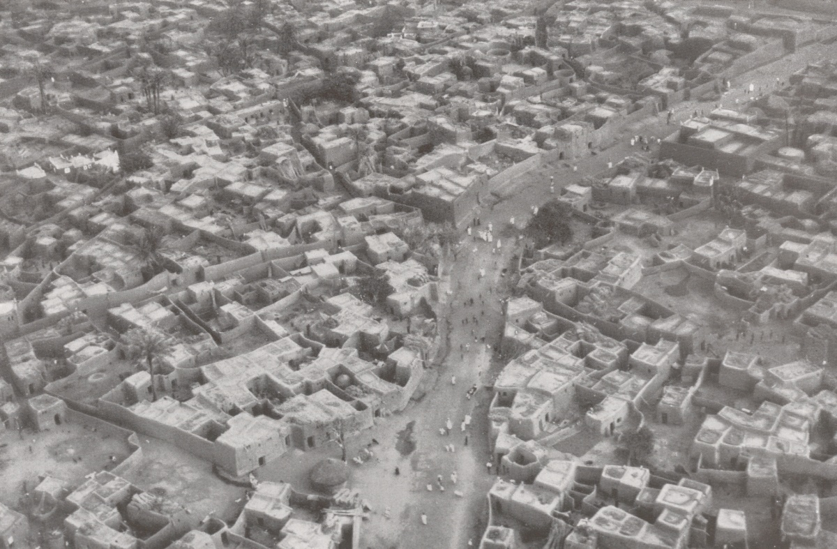
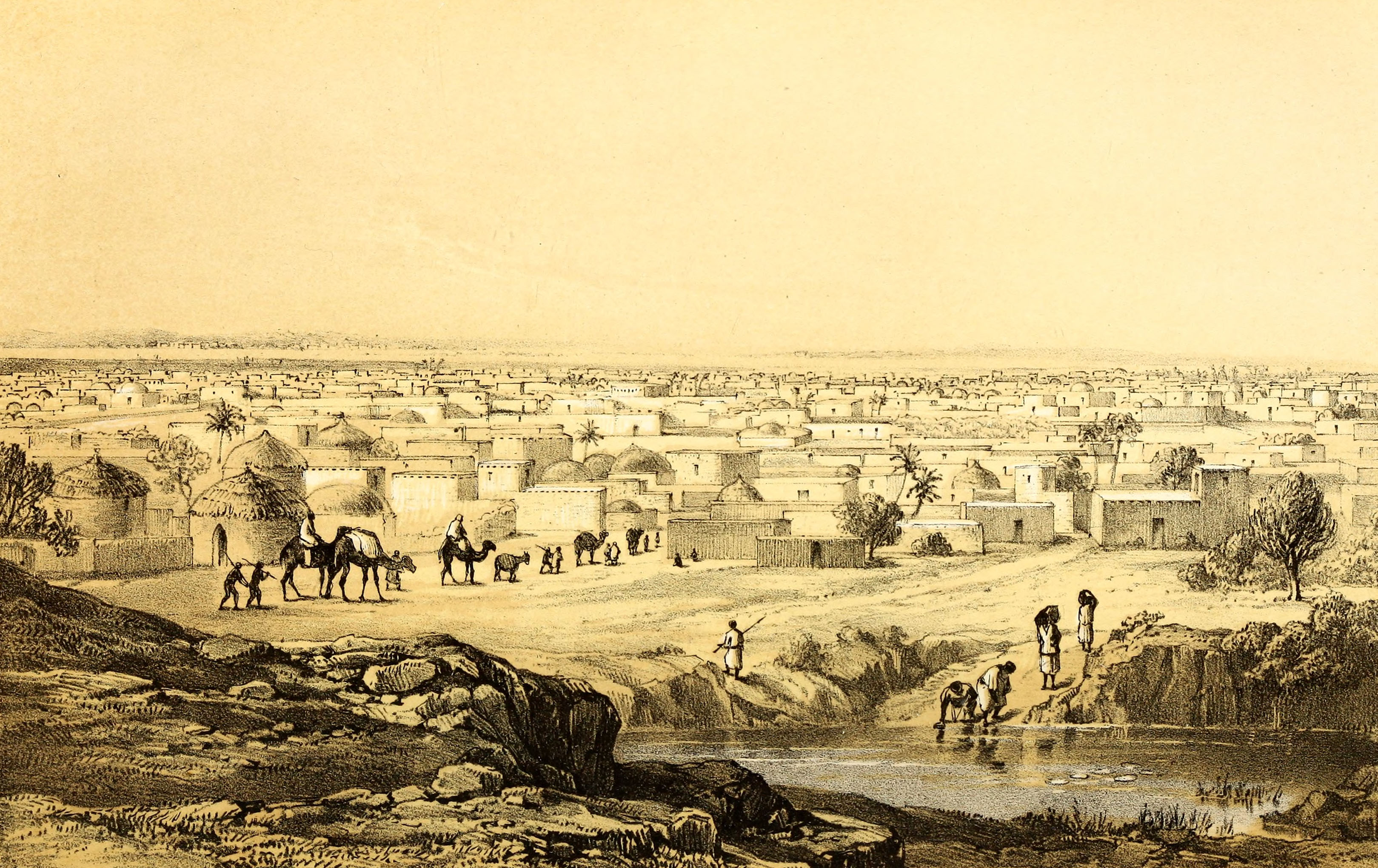
Kano (Ajami: كانو) is a city in northern Nigeria and the capital of Kano State. It is the second largest city in Nigeria after Lagos, with over four million citizens living within ; located in the Savanna, south of the Sahel, Kano is a major route of the trans-Saharan trade. The city has been a trade and human settlement for millennia. It is the traditional state of the Dabo dynasty who since the 19th century have ruled as emirs over the city-state. Kano Emirate Council is the current traditional institution inside the city boundaries of Kano, and under the authority of the Government of Kano State. The city is one of the medieval Hausa seven kingdoms and the principal inhabitants of the city are the Hausa people. Centuries before British colonization, Kano was strongly cosmopolitan with settled populations of Arab, Berber, Tuareg, Kanuri and Fula and remains so with the Hausa language spoken as a lingua-franca by over 70 million speakers in the region. Islam arrived i ... [...More Info...] [...Related Items...] OR: [Wikipedia] [Google] [Baidu] |
Ikoyi
Ikoyi is the most affluent neighborhood of Lagos, located in Eti-Osa Local Government Area. It lies to the northeast of Obalende and adjoins Lagos Island to the west, and at the edge of the Lagos Lagoon. Popular with the extreme upper class residents of Nigerian society, Ikoyi is arguably one of the wealthiest communities within Nigeria. The area that makes up Ikoyi was originally a continuous land mass with Lagos Island, until it was separated from it by the MacGregor canal, a narrow waterway that was dug by the British colonial government. This canal has now been built over or filled in, so that the island is fused with Lagos Island once again. It has been called in derogatory terms the "Beverly Hills by the slum" or the Belgravia of Lagos. History During the colonial era, the island was developed as a residential cantonment for the expatriate British community and still retains many of the large colonial residences built between 1900 and 1950. In the 1920s and 1930s, about ... [...More Info...] [...Related Items...] OR: [Wikipedia] [Google] [Baidu] |
Nigerian
Nigerians or the Nigerian people are citizens of Nigeria or people with ancestry from Nigeria. The name Nigeria was taken from the Niger River running through the country. This name was allegedly coined in the late 19th century by British journalist Flora Shaw, who later married Baron Frederick Lugard, a British colonial administrator. ''Nigeria'' is composed of various ethnic groups and Culture, cultures and the term Nigerian refers to a citizenship-based civic nationality. Nigerians derive from over 250 ethnic groups and languages.Toyin Falola. ''Culture and Customs of Nigeria''. Westport, Connecticut, USA: Greenwood Press, 2001. p. 4. Though there are multiple ethnic groups in Nigeria, economic factors result in significant mobility of Nigerians of multiple ethnic and religious backgrounds to reside in territories in Nigeria that are outside their ethnic or religious background, resulting in the mixing of the various ethnic and religious groups, especially in Nigeria's cities ... [...More Info...] [...Related Items...] OR: [Wikipedia] [Google] [Baidu] |
Anambra State
Anambra State is a Nigerian state, located in the southeastern region of the country. The state was created on August 27, 1991. Anambra state is bounded by Delta State to the west, Imo State to the south, Enugu State to the east and Kogi State to the north. According to the 2022 census report, there are over 9 million residents in the state. The state name was formed in 1976 from the former East Central State. The state is named after Omambala River, a river that runs through the state. Anambra is the Anglicized name of the Omambala River, Omambala. The State capital is Awka, a rapidly growing city that increased in population from approximately 700,000 to more than 6 million between 2006 and 2020. The city of Onitsha, a historic port city from the pre-colonial era, remains an important centre of commerce within the state. Nicknamed the "Light of the Nation", Anambra State is the List of Nigerian states by population, eighth most populous state in the nation, although that has ... [...More Info...] [...Related Items...] OR: [Wikipedia] [Google] [Baidu] |
Abuja
Abuja () is the capital and eighth most populous city of Nigeria. Situated at the centre of the country within the Federal Capital Territory (FCT), it is a planned city built mainly in the 1980s based on a master plan by International Planning Associates (IPA), a consortium of three American planning and architecture firms made up of Wallace, Roberts, McHarg & Todd (WRMT – a group of architects) as the lead, Archisystems International (a subsidiary of the Howard Hughes Corporation), and Planning Research Corporation. The Central Business District of Abuja was designed by Japanese architect Kenzo Tange. It replaced Lagos, the country's most populous city, as the capital on 12 December 1991. Abuja's geography is defined by Aso Rock, a monolith left by water erosion. The Presidential Complex, National Assembly, Supreme Court and much of the city extend to the south of the rock. Zuma Rock, a monolith, lies just north of the city on the expressway to Kaduna. At the 2006 ce ... [...More Info...] [...Related Items...] OR: [Wikipedia] [Google] [Baidu] |


