|
Newton-le-Willows, North Yorkshire
Newton-le-Willows is a village and civil parish in the Richmondshire district of North Yorkshire, England, west of Bedale. Historically, it is part of the North Riding of Yorkshire and the Wapentake of Hang East. Newton-le-Willows used to have a railway station on the Wensleydale Railway. The station opened with the Bedale to Leyburn extension of the line in 1856. In 1877 the station was renamed as Jervaulx to avoid confusion with the other Newton-le-Willows railway station near to St Helens. The stations on the line were all closed in 1954, but the one at Jervaulx was used beyond the closure date to transport pupils to and from Aysgarth School on excursions. Whilst the Wensleydale Railway has reopened as a heritage railway, the station has remained closed. Education Aysgarth School is a boarding Preparatory school located to the south–west of the village. It was founded in 1877 and was originally based near Aysgarth Aysgarth is a village and civil parish in Wen ... [...More Info...] [...Related Items...] OR: [Wikipedia] [Google] [Baidu] |
Richmondshire
{{Infobox settlement , name = Richmondshire District , type = District , image_skyline = , imagesize = , image_caption = , image_blank_emblem= Richmondshire arms.png , blank_emblem_type = Coat of arms , image_map = Richmondshire UK locator map.svg , map_caption = Shown within North Yorkshire , mapsize = frameless , subdivision_type = Sovereign state , subdivision_name = United Kingdom , subdivision_type1 = Constituent country , subdivision_name1 = England , subdivision_type2 = Region , subdivision_name2 = Yorkshire and the Humber , subdivision_type3 = Administrative county , subdivision_name3 = North Yorkshire , seat_type = Admin. HQ , seat = Richmond , government_type = Richmondshire District Council , leader_title = Leadership: , leader_name = Alternative – Sec.31 , leader_title1 = Executive: , leader_name1 = {{English district contr ... [...More Info...] [...Related Items...] OR: [Wikipedia] [Google] [Baidu] |
Leyburn Railway Station
Leyburn railway station is on the Wensleydale Railway, a seasonal, heritage service and serves the town of Leyburn in North Yorkshire, England. During the summer months it is served by at least three trains per day; at other times of the year the service is mainly at weekends and public holidays. The Leyburn branch of the Wensleydale Railway Association (which incorporates the Friends of Leyburn Station-FOLS) meets monthly at the station. The station postal address is Leyburn Station, Harmby Road, Leyburn, North Yorkshire, DL8 5ET. History The railway first reached Leyburn in November 1855, when the Bedale & Leyburn Railway opened its line from Leeming (where it made an end-on junction with the York, Newcastle and Berwick Railway branch from Northallerton). Passenger services commenced six months later, with a further extension westwards to Hawes being built by the North Eastern Railway in 1877/8 (the NER having also absorbed the B&L in 1857). At Hawes, another end-on j ... [...More Info...] [...Related Items...] OR: [Wikipedia] [Google] [Baidu] |
Aysgarth
Aysgarth is a village and civil parish in Wensleydale, in the Richmondshire district of North Yorkshire, England. The village is in the Yorkshire Dales National Park, about south-west of Richmond and west of the county town of Northallerton. History A Bronze Age burial has been found in the village. The village is mentioned in the Domesday Book as ''Echescard''. The toponymy is derived from the combination of the Old Norse words ''eiki'', meaning oak, and ''skarð'', which may mean open space, cleft or mountain pass, so the probable meaning is ''Oak tree cleft'', referring to the valley cut by the River Ure. At the time of the Norman invasion, the manor was held by Cnut, son of Karli. Afterwards the manor was in the possession of Count Alan of Brittany, who granted lordship to Geoffrey of Swaffham. By the 13th century, the manor was in the hands of the ''Burgh'' family of Hackforth. The manor descended with the manor of Hackforth until 1480, at which time they were conveye ... [...More Info...] [...Related Items...] OR: [Wikipedia] [Google] [Baidu] |
Preparatory School (United Kingdom)
A preparatory school (or, shortened: prep school) in the United Kingdom is a fee-charging independent primary school that caters for children up to approximately the age of 13. The term "preparatory school" is used as it ''prepares'' the children for the Common Entrance Examination in order to secure a place at an independent secondary school, typically one of the English public schools. They are also preferred by some parents in the hope of getting their child into a state selective grammar school. Most prep schools are inspected by the Independent Schools Inspectorate, which is overseen by Ofsted on behalf of the Department for Education. Overview Boys' prep schools are generally for 8-13 year-olds, who are prepared for the Common Entrance Examination, the key to entry into many secondary independent schools. Before the age of 7 or 8, the term "pre-prep school" is used. Girls' independent schools in England tend to follow the age ranges of state schools more closely than th ... [...More Info...] [...Related Items...] OR: [Wikipedia] [Google] [Baidu] |
Aysgarth School
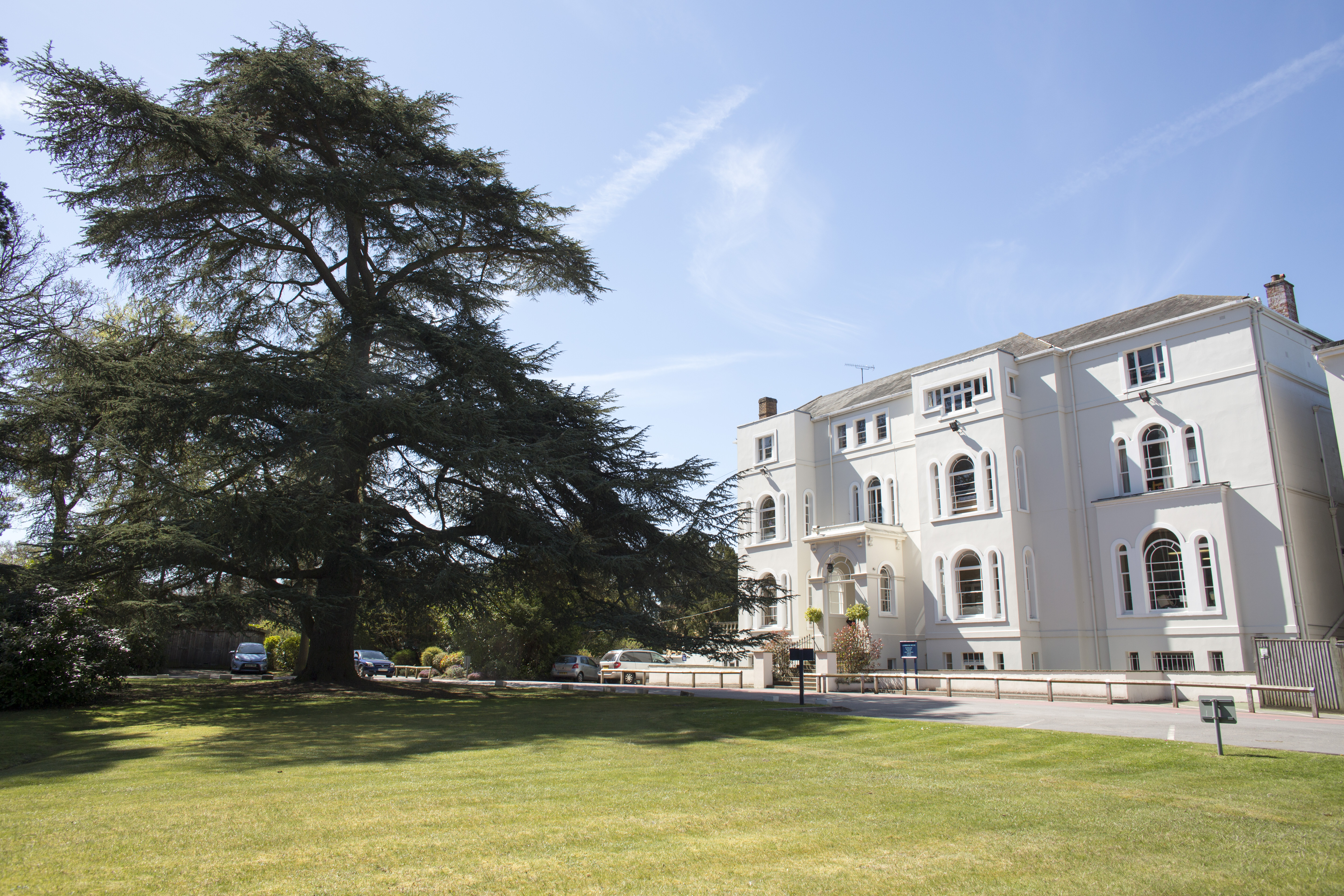
, established = 1877 , type = Preparatory independent day and boarding school , trust = , religious_affiliation = Church of England , president = , head_label = , head = Rob Morse , r_head_label = , r_head = , chair_label = , chair = , founder = Reverend Clement Hales , medium = , address = , location = Newton-le-WillowsBedale , city = , district = Richmondshire , postcode = DL8 1TF , county = North Yorkshire , country = England , coordinates = , pushpin_map = North Yorkshire , pushpin_image = , pushpin_mapsize = , pushpin_map_alt = , pushpin_map_caption = Location within North Yorkshire , pushpin_label = , pushpin_label_position = left , local_authority = , dfeno = 815/6009 , urn = 121738 , ofsted = , staff = , capacity = 2 ... [...More Info...] [...Related Items...] OR: [Wikipedia] [Google] [Baidu] |
Heritage Railway
A heritage railway or heritage railroad (US usage) is a railway operated as living history to re-create or preserve railway scenes of the past. Heritage railways are often old railway lines preserved in a state depicting a period (or periods) in the history of rail transport. Definition The British Office of Rail and Road defines heritage railways as follows:...'lines of local interest', museum railways or tourist railways that have retained or assumed the character and appearance and operating practices of railways of former times. Several lines that operate in isolation provide genuine transport facilities, providing community links. Most lines constitute tourist or educational attractions in their own right. Much of the rolling stock and other equipment used on these systems is original and is of historic value in its own right. Many systems aim to replicate both the look and operating practices of historic former railways companies. Infrastructure Heritage railway lines ... [...More Info...] [...Related Items...] OR: [Wikipedia] [Google] [Baidu] |
St Helens, Merseyside
St Helens () is a town in Merseyside, England, with a population of 102,629. It is the administrative centre of the Metropolitan Borough of St Helens, which had a population of 176,843 at the United Kingdom Census 2001, 2001 Census. St Helens is in the south-west of the Historic counties of England, historic county of Lancashire, north of the River Mersey. The town historically lay within the ancient Lancashire division of West Derby (hundred), West Derby known as a hundred (county division), ''hundred''. The town initially started as a small settlement in the Township (England), township of Windle, St Helens, Windle but, by the mid 1700s, the town had become synonymous with a wider area; by 1838, it was formally made responsible for the administration of the four townships of Eccleston, St Helens, Eccleston, Parr, St Helens, Parr, Sutton, St Helens, Sutton and Windle. In 1868, the town was created by incorporation as a municipal borough and later became a county borough in 1887 ... [...More Info...] [...Related Items...] OR: [Wikipedia] [Google] [Baidu] |
Newton-le-Willows Railway Station
Newton-le-Willows railway station is a railway station in the town of Newton-le-Willows, in the Metropolitan Borough of St Helens, and at the edge of the Merseytravel region ( from Liverpool Lime Street). The station is branded Merseyrail. The station is situated on the northern route of the Liverpool to Manchester Line, the former Liverpool and Manchester Railway which opened in 1830. It is a busy feeder station for nearby towns which no longer have railway stations, such as Golborne, Billinge and Haydock. There is also a complimentary bus shuttle service to Haydock Park Racecourse on certain racedays. History The station was built in 1845 and opened by the London and North Western Railway, originally named ''Newton Bridge''. It was renamed ''Newton-le-Willows'' on 14 June 1888. When first opened, it was also on the main LNWR line from London to and Scotland (what is now the West Coast Main Line) thanks to a number of company mergers and acquisitions – the former North U ... [...More Info...] [...Related Items...] OR: [Wikipedia] [Google] [Baidu] |
Jervaulx Railway Station
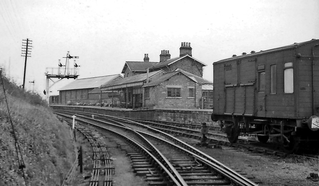
Jervaulx railway station was a railway station in Newton-le-Willows, North Yorkshire, England. Originally named after this place, it was renamed after Jervaulx, about to the southwest and known for its former abbey, to distinguish it from Newton-le-Willows in Merseyside. Reputedly the Marquess of Aylesbury was upset by many of his guests arriving at the wrong destination. History Opened by the Bedale and Leyburn Railway, the station was initially directly south of the crossroads in the village, but was moved further west on its main site in 1862 at a cost of £38,000. The Wensleydale railway was taken over by the North Eastern Railway, which became part of the London and North Eastern Railway during the Grouping of 1923. The line then passed on to the Eastern Region of British Railways on nationalisation in 1948. It was then closed by the British Transport Commission in April 1954 (along with all of the other stations on the route) when the Northallerton to Hawes passenger ser ... [...More Info...] [...Related Items...] OR: [Wikipedia] [Google] [Baidu] |
Bedale Railway Station
Bedale railway station is on the Wensleydale Railway and serves the town of Bedale in North Yorkshire, England. History First opened by the ''Bedale and Leyburn Railway'' in November 1855, the station very nearly did not get built at all as the initial plans for the Leeming to Leyburn route would have completely bypassed the town. This problem was subsequently corrected (following a major outcry in the locality) and by May 1856, passenger services had started running between Northallerton and Leyburn. These were subsequently extended to Hawes and Hawes Junction (later Garsdale) by the North Eastern Railway in 1878. Although the section between Bedale and Leeming was doubled by the turn of the century, the station never received a second platform as the line became single again before passing through it and the adjacent level crossing. Services were always modest at best, with a basic timetable of between five and seven trains each way operating right up until the closure ... [...More Info...] [...Related Items...] OR: [Wikipedia] [Google] [Baidu] |
North Yorkshire
North Yorkshire is the largest ceremonial counties of England, ceremonial county (lieutenancy area) in England, covering an area of . Around 40% of the county is covered by National parks of the United Kingdom, national parks, including most of the Yorkshire Dales and the North York Moors. It is one of four counties in England to hold the name Yorkshire; the three other counties are the East Riding of Yorkshire, South Yorkshire and West Yorkshire. North Yorkshire may also refer to a non-metropolitan county, which covers most of the ceremonial county's area () and population (a mid-2016 estimate by the Office for National Statistics, ONS of 602,300), and is administered by North Yorkshire County Council. The non-metropolitan county does not include four areas of the ceremonial county: the City of York, Middlesbrough, Redcar and Cleveland and the southern part of the Borough of Stockton-on-Tees, which are all administered by Unitary authorities of England, unitary authorities. ... [...More Info...] [...Related Items...] OR: [Wikipedia] [Google] [Baidu] |
Wensleydale Railway
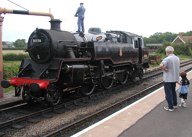
The Wensleydale Railway is a heritage railway in Wensleydale and Lower Swaledale in North Yorkshire, England. It was built in stages by different railway companies and originally extended to railway station on the Settle-Carlisle line. Since 2003, the remaining line has been run as a heritage railway. The line runs between Northallerton West station, about a fifteen-minute walk from station on the East Coast Main Line, and . Regular passenger services operate between and , while occasional freight services and excursions travel the full length of the line. The line formerly ran from Northallerton to on the Settle-Carlisle Railway but the track between Redmire and Garsdale has been lifted and several bridges have been demolished, although one of the stated aims of the Wensleydale Railway is to reinstate the line from Redmire to Garsdale. Additionally, a separate proposal exists to link Hawes to Garsdale with a view to providing commuter and tourist services rather than h ... [...More Info...] [...Related Items...] OR: [Wikipedia] [Google] [Baidu] |

Jul2003.jpg)
.jpg)


