|
New York State Route 145
New York State Route 145 (NY 145) is a state highway in eastern New York in the United States. The highway extends for from NY 23 in the Greene County town of Cairo to U.S. Route 20 (US 20) in the Schoharie County town of Sharon. Along the way, NY 145 intersects NY 30 in Middleburgh and Interstate 88 (I-88) east of Cobleskill. NY 145 is a two-lane highway its entire length, with a passing lane on hills leaving Middleburgh in both directions. The route follows parts of the Susquehannah Turnpike from Cairo through East Durham and west. Route description Greene and Albany counties NY 145 begins at an at-grade interchange with NY 23 in the hamlet of Cairo (within the town of the same name). NY 145 proceeds northwest through Cairo as a two-lane asphalt residential street, becoming a commercial/residential mix near a large quarry on the southbound side. NY 145 continues northwest for several miles, passing Old St ... [...More Info...] [...Related Items...] OR: [Wikipedia] [Google] [Baidu] |
Cairo, New York
Cairo is a town in Greene County, New York, United States. The population was 6,644 at the 2020 census. The town is in the southern part of the county, partly in the Catskill Park. The town contains a hamlet, also named Cairo. History The first European-American settler arrived around 1772, but many new families moved in after the American Revolution. They were coming west from New England. In 1803, the Town of Cairo was formed from the towns of Catskill, Coxsackie, and Durham. First known as "Canton", the town was renamed in 1808 to "Cairo". The accepted local pronunciation is "care-oh", and newcomers are quickly advised of this. From 1800 the Susquehannah Turnpike, a private toll road, ran through the town. The only railroad in the county, the Canajoharie and Catskill Railroad, ran through the town. It operated only from 1839 to about 1842. Geography According to the United States Census Bureau, the town has a total area of 60.1 square miles (155.8 km2), o ... [...More Info...] [...Related Items...] OR: [Wikipedia] [Google] [Baidu] |
County Route 31 (Greene County, New York)
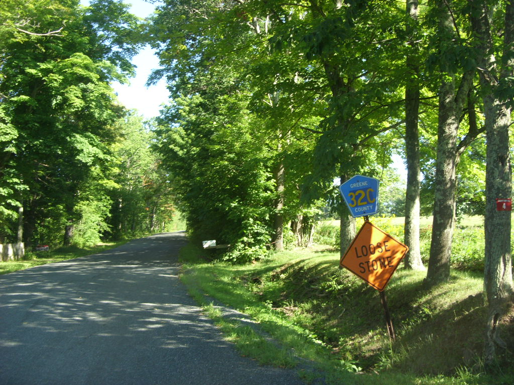
County routes in Greene County, New York, are signed with the Manual on Uniform Traffic Control Devices-standard yellow-on-blue pentagon route marker. Routes 1–40 Routes 41 and up See also *County routes in New York In the U.S. state of New York, county routes exist in all 62 counties except those in the five boroughs of New York City. Most are maintained locally by county highway departments. County route designations are assigned at the county level; as a ... References {{reflist, refs={{cite web, url=https://www.dot.ny.gov/divisions/engineering/technical-services/hds-respository/NYSDOT_2021_LHI_County_Roads_Greene_County.pdf, title=County Roads Listing - Greene County, publisher=New York State Department of Transportation, access-date=August 13, 2021, date=June 22, 2021 County routes in Greene County, New York, ... [...More Info...] [...Related Items...] OR: [Wikipedia] [Google] [Baidu] |
Routes 10 And 145 Cobleskill
Route or routes may refer to: * Route (gridiron football), a path run by a wide receiver * route (command), a program used to configure the routing table * Route, County Antrim, an area in Northern Ireland * ''The Route'', a 2013 Ugandan film * Routes, Seine-Maritime, a commune in Seine-Maritime, France * ''Routes'' (video game), 2003 video game See also * Acronyms and abbreviations in avionics * Air route or airway * GPS route, a series of one or more GPS waypoints * Path (other) * Rout, a disorderly retreat of military units from the field of battle * Route number or road number * Router (other) * Router (woodworking) * Routing (other) * Routing table * Scenic route, a thoroughfare designated as scenic based on the scenery through which it passes * Trade route A trade route is a logistical network identified as a series of pathways and stoppages used for the commercial transport of cargo. The term can also be used to refer to trade over bodies ... [...More Info...] [...Related Items...] OR: [Wikipedia] [Google] [Baidu] |
County Route 50 (Schoharie County, New York)
County routes in Schoharie County, New York, are signed with the Manual on Uniform Traffic Control Devices-standard yellow-on-blue pentagon route marker. Routes 1–50 Routes 51 and up See also *County routes in New York References {{reflist, refs={{cite web, url=https://www.dot.ny.gov/divisions/engineering/technical-services/hds-respository/NYSDOT_2021_LHI_County_Roads_Schoharie_County.pdf, title=County Roads Listing - Schoharie County, publisher=New York State Department of Transportation The New York State Department of Transportation (NYSDOT) is the department of the New York state government responsible for the development and operation of highways, railroads, mass transit systems, ports, waterways and aviation facilities in ..., access-date=August 13, 2021, date=June 22, 2021 ... [...More Info...] [...Related Items...] OR: [Wikipedia] [Google] [Baidu] |
County Route 19 (Schoharie County, New York)
County routes in Schoharie County, New York, are signed with the Manual on Uniform Traffic Control Devices-standard yellow-on-blue pentagon route marker. Routes 1–50 Routes 51 and up See also *County routes in New York References {{reflist, refs={{cite web, url=https://www.dot.ny.gov/divisions/engineering/technical-services/hds-respository/NYSDOT_2021_LHI_County_Roads_Schoharie_County.pdf, title=County Roads Listing - Schoharie County, publisher=New York State Department of Transportation The New York State Department of Transportation (NYSDOT) is the department of the New York state government responsible for the development and operation of highways, railroads, mass transit systems, ports, waterways and aviation facilities in ..., access-date=August 13, 2021, date=June 22, 2021 ... [...More Info...] [...Related Items...] OR: [Wikipedia] [Google] [Baidu] |
County Route 19A (Schoharie County, New York)
County routes in Schoharie County, New York, are signed with the Manual on Uniform Traffic Control Devices-standard yellow-on-blue pentagon route marker. Routes 1–50 Routes 51 and up See also *County routes in New York References {{reflist, refs={{cite web, url=https://www.dot.ny.gov/divisions/engineering/technical-services/hds-respository/NYSDOT_2021_LHI_County_Roads_Schoharie_County.pdf, title=County Roads Listing - Schoharie County, publisher=New York State Department of Transportation The New York State Department of Transportation (NYSDOT) is the department of the New York state government responsible for the development and operation of highways, railroads, mass transit systems, ports, waterways and aviation facilities in ..., access-date=August 13, 2021, date=June 22, 2021 ... [...More Info...] [...Related Items...] OR: [Wikipedia] [Google] [Baidu] |
Broome, New York
:''There is also a Broome County, New York, U.S.''. ---- Broome is a town in Schoharie County, New York, United States. The population was 947 at the 2000 census. The town is named after John Broome. The Town of Broome is on the eastern border of the county, southwest of Albany. History The town was one of the six original towns when the county was formed in 1797. Originally named Bristol, the town name was changed to Broome in 1808. Parts of Broome town were taken to form part of Conesville town in 1836 and part of Gilboa town in 1848 and small parts annexed to Broome town from Middleburgh town in 1849. Few settlers came to Broome until after the American Revolution. Notable people *Daniel Shays, leader of Shays' Rebellion. * David Williams, officer involved in the capture of Major Andre. Geography According to the United States Census Bureau, the town has a total area of , of which is land and (0.58%) is water. The eastern town line is the border of Albany C ... [...More Info...] [...Related Items...] OR: [Wikipedia] [Google] [Baidu] |
County Route 352 (Albany County, New York)
The Albany County, New York, Department of Public Works maintains nearly of roads and 78 bridges as county routes. All county routes in Albany County are signed with a blue pentagonal shield, the Manual on Uniform Traffic Control Devices' standard shield for county routes. Although quite a few county routes are in more than one town, the route number reflects the town that the largest portion of the route is in. Two county routes pass through the western portion of the city of Albany. Parts of New York State Route 32 (NY 32) and NY 155 are owned and maintained by Albany County and are thus co-signed as state touring routes and as Albany County routes. Routes 1–100 Berne (1–14) Routes numbered 1 through 14 are predominantly in the town of Berne. Bethlehem (50–55) Routes numbered 50 through 55 are predominantly in the town of Bethlehem. Routes 101–200 Coeymans (101–112) Routes numbered 101 through 112 are predominantly in the town of Coeymans. C ... [...More Info...] [...Related Items...] OR: [Wikipedia] [Google] [Baidu] |
New York State Route 910G
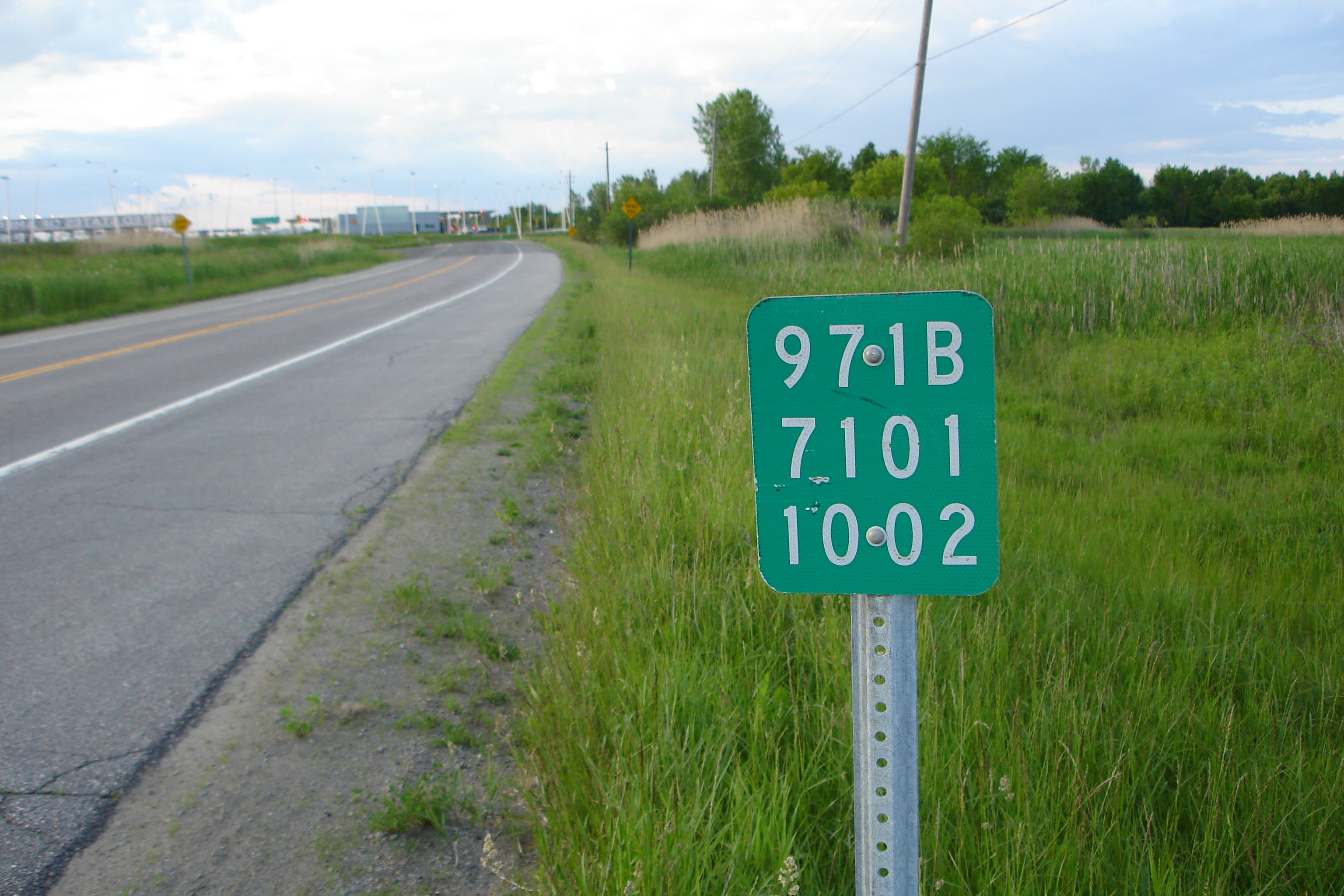
A reference route is an unsigned highway assigned by the New York State Department of Transportation (NYSDOT) to roads that possess a signed name (mainly parkways), that NYSDOT has determined are too minor to have a signed touring route number, or are former touring routes that are still state-maintained. The majority of reference routes are owned by the state of New York and maintained by NYSDOT; however, some exceptions exist. The reference route designations are normally posted on reference markers, small green signs located every tenth-mile on the side of the road, though a few exceptions exist to this practice as well. Reference route numbers are always three digit numbers in the 900s with a single alphabetic suffix. The designations are largely assigned in numerical and alphabetical order within a region, and designations are not reused once they are removed. Certain letters are avoided, such as "I" (used to indicate Interstate Highways and potential confusion with the numbe ... [...More Info...] [...Related Items...] OR: [Wikipedia] [Google] [Baidu] |
New York State Route 81
New York State Route 81 (NY 81) is an east–west state highway in the Capital District of New York in the United States. The western terminus of the route is at an intersection with NY 145 and Potter Hollow Road (unsigned NY 910G) in the hamlet of Cooksburg within the town of Rensselaerville. Its eastern terminus is at a junction with U.S. Route 9W (US 9W) in the town of Coxsackie. East of US 9W, the right-of-way of NY 81 continues southeast to the village of Coxsackie as NY 385. NY 81 intersects NY 32 north of the hamlet of Cairo. Route description NY 81 begins at an intersection with NY 145 and Potter Hollow Road (unsigned NY 910G) in the hamlet of Cooksburg (in the town of Rennselaerville). NY 81 proceeds eastward through Rennselaerville, as a two-lane rural roadway, paralleling and crossing some power lines. After turning to the southeast, NY 81 crosses into the Greene County town of ... [...More Info...] [...Related Items...] OR: [Wikipedia] [Google] [Baidu] |
County Route 22 (Greene County, New York)
County routes in Greene County, New York, are signed with the Manual on Uniform Traffic Control Devices-standard yellow-on-blue pentagon route marker. Routes 1–40 Routes 41 and up See also *County routes in New York References {{reflist, refs={{cite web, url=https://www.dot.ny.gov/divisions/engineering/technical-services/hds-respository/NYSDOT_2021_LHI_County_Roads_Greene_County.pdf, title=County Roads Listing - Greene County, publisher=New York State Department of Transportation, access-date=August 13, 2021, date=June 22, 2021 County routes in Greene County, New York, ... [...More Info...] [...Related Items...] OR: [Wikipedia] [Google] [Baidu] |
County Route 27 (Greene County, New York)
County routes in Greene County, New York, are signed with the Manual on Uniform Traffic Control Devices-standard yellow-on-blue pentagon route marker. Routes 1–40 Routes 41 and up See also *County routes in New York In the U.S. state of New York, county routes exist in all 62 counties except those in the five boroughs of New York City. Most are maintained locally by county highway departments. County route designations are assigned at the county level; as a ... References {{reflist, refs={{cite web, url=https://www.dot.ny.gov/divisions/engineering/technical-services/hds-respository/NYSDOT_2021_LHI_County_Roads_Greene_County.pdf, title=County Roads Listing - Greene County, publisher= New York State Department of Transportation, access-date=August 13, 2021, date=June 22, 2021 ... [...More Info...] [...Related Items...] OR: [Wikipedia] [Google] [Baidu] |


