|
New Koilwar Bridge
New Koilwar Bridge, (officially Vashishtha Narayan Setu) at Koilwar in Bhojpur is a 1.52 km long, 6-lane wide road bridge over the Sone river. It connects Arrah with Patna, the capital of Bihar state in India and also carries Buxar-Arrah-Patna national highway (NH-922). New Koilwar Bridge is named after Indian mathematician and Padma Shri awardee Vashishtha Narayan Singh (1946–2019). New Koilwar Bridge is 500 metres north and parallel to the existing 2-lane wide Koilwar Bridge. The construction work of all 6-lanes completed and Bridge is fully opened to public on 14 May 2022. In December 2020, Government of India has approved a 4- lane wide elevated road from Bharauli near Buxar of Bihar to Haydaria in Ghazipur of Uttar Pradesh. Upon its completion, Patna will be connected with Lucknow via New Koilwar bridge, Buxar-Ghazipur elevated road and the Purvanchal Expressway. History The Koilwar Bridge, a 2-lane wide road-cum-rail bridge was built by East Indian Rail ... [...More Info...] [...Related Items...] OR: [Wikipedia] [Google] [Baidu] |
Arrah
Arrah (also transliterated as Ara) is a city and a municipal corporation in Bhojpur district, India, Bhojpur district (formerly known as Shahabad district) in the Indian state of Bihar. It is the headquarters of Bhojpur district, located near the confluence of the Ganges and Son river, Sone rivers, some from Danapur and from Patna. Typonym According to a Jain inscription found at Masarh village near the town, Arrah is mentioned there as ''Aramnagar'' (Literal translation, transl. City of Buddhist monastery, Aramas). That "Aramnagar" later become "Arrah". According to mythologies, the word "Arrah" or "Ara" is derived from the Sanskrit word ''Aranya'', which means forest. It suggests that the entire area around modern Ara was heavily forested in the old days. According to mythology, sage Vishwamitra, the Guru of Rama, had his 'Ashram' somewhere in this region. Rama killed the demon Taraka somewhere near Arrah. Arrah has also historically been known as Shahabad, a name given t ... [...More Info...] [...Related Items...] OR: [Wikipedia] [Google] [Baidu] |
Purvanchal Expressway
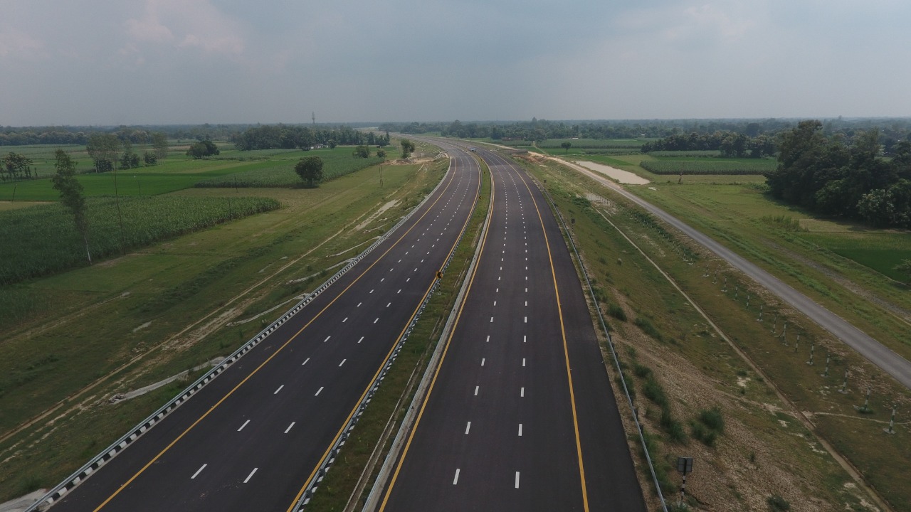
Purvanchal Expressway is a 340.8 km long, 6-lane wide (expandable to 8) access-controlled expressway in the state of Uttar Pradesh, India. The expressway connects Chand Saray village near Gosainganj in Lucknow district with Haydaria village on NH-31 in Ghazipur district. It is developed by the Uttar Pradesh Expressways Industrial Development Authority (UPEIDA). The Purvanchal Expressway has a 3.2 km long airstrip at Akhalkiri Karwat village near Kurebhar in Sultanpur district for emergency landing of aircraft. The construction work was started by the UPEIDA on 10 October 2018 and was inaugurated and opened to the public on 16 November 2021. The project was announced and laid down by the then Chief Minister of Uttar Pradesh Akhilesh Yadav as Lucknow-Azamgarh-Ballia Samajwadi Purvanchal Expressway in May 2015. Later, route was changed to Lucknow-Azamgarh-Ghazipur by the Yogi Adityanath government, and upon acquisition of around 95% of required land, foundation stone ... [...More Info...] [...Related Items...] OR: [Wikipedia] [Google] [Baidu] |
Foundation Stone
The cornerstone (or foundation stone or setting stone) is the first stone set in the construction of a masonry foundation. All other stones will be set in reference to this stone, thus determining the position of the entire structure. Over time a cornerstone became a ceremonial masonry stone, or replica, set in a prominent location on the outside of a building, with an inscription on the stone indicating the construction dates of the building and the names of architect, builder, and other significant individuals. The rite of laying a cornerstone is an important cultural component of eastern architecture and metaphorically in sacred architecture generally. Some cornerstones include time capsules from, or engravings commemorating, the time a particular building was built. History The ceremony typically involved the placing of offerings of grain, wine and oil on or under the stone. These were symbolic of the produce and the people of the land and the means of their subsistence. ... [...More Info...] [...Related Items...] OR: [Wikipedia] [Google] [Baidu] |
Chand Sarai
Chand Saray, also spelled as Chand Sarai, is a village in Gosainganj block of Lucknow district, Uttar Pradesh, India. It forms the western endpoint of the under construction Purvanchal Expressway Purvanchal Expressway is a 340.8 km long, 6-lane wide (expandable to 8) access-controlled expressway in the state of Uttar Pradesh, India. The expressway connects Chand Saray village near Gosainganj in Lucknow district with Haydaria villag .... As of 2011, the population of Chand Sarai is 2,222, in 421 households. References Villages in Lucknow district Caravanserais in India {{Lucknow-geo-stub ... [...More Info...] [...Related Items...] OR: [Wikipedia] [Google] [Baidu] |
National Highway 230 (India)
National Highway 230 (NH 230), also known as Kisan Path or Lucknow Outer Ring Road is National Highway (India), National Highway in Uttar Pradesh, India which also includes sections of Lucknow Inner Ring Road. The Lucknow outer ring road is an 8 lane that expand to 10 lanes at key junctions and 104 km long quadruple carriageway (2*4 lanes) road project with a speed limit of 100kmph for Light Vehicles and 80kmph for Heavy vehicles. The 6 lane 11 km long stretch between Kursi Road to Sultanpur road (Kisan Path) has been constructed by the NHAI. This Ring Road has multiple 6 lane flyovers for smooth and swift commuting of the travellers. This Outer Ring Road will play a major role in the establishment of the Lucknow State Capital Region or the Uttar Pradesh State Capital Region as many IT cities, Housing Societies, Integrated Mega-Townships, Wellness City, Educational Hubs, and Commercial Hubs etc. across Multiple 1000's of acres of land are proposed to be established aroun ... [...More Info...] [...Related Items...] OR: [Wikipedia] [Google] [Baidu] |
Agra–Lucknow Expressway
The Agra–Lucknow Expressway is a 302 km long, 6-lane wide (extendable to 8-lanes) access-controlled expressway constructed by the Uttar Pradesh Expressways Industrial Development Authority (UPEIDA) to reduce traffic in already congested roads and to reduce pollution and carbon footprint. The expressway reduced the distance between the cities of Agra and Lucknow in the Indian state of Uttar Pradesh and is presently one of the India's longest operational expressway. It was inaugurated on 21 November 2016 by then Chief Minister of Uttar Pradesh, Akhilesh Yadav. Light traffic commotion on the expressway began with government approval in the following December, and the full length of expressway was made accessible to public from Agra to Lucknow by the end of February 2017. It is widely seen as his dream project and the flagship model of development in the state, being the first of its kind to be completed in the shortest span of time. Overview The cost of project was expected t ... [...More Info...] [...Related Items...] OR: [Wikipedia] [Google] [Baidu] |
Yamuna Expressway
Yamuna Expressway is a 6-lane wide (expandable to 8) and 165.5 km long Controlled-access highway, access-controlled expressway in the Indian state of Uttar Pradesh. It is presently India's 3rd longest expressway since February 2017. It was built to de-congest the older Delhi–Agra national highway National Highway 2 (India, old numbering), (NH-2) or Mathura Road. The expressway having project value was inaugurated on 9 August 2012 by then Chief Minister of UP Akhilesh Yadav. A total of 13 service roads of about 168 km have been built for local commuters to access the expressway. Yamuna Expressway will be connected with Eastern Peripheral Expressway via an interchange which is being built at Jaganpur Afzalpur village near Noida International University in Gautam Buddh Nagar district. History It was conceived with the idea of reducing the travel time between Delhi NCR and Agra. The project was conceived by the Government of Uttar Pradesh in 2001 (led by Rajnath Singh). But the ... [...More Info...] [...Related Items...] OR: [Wikipedia] [Google] [Baidu] |
Greater Noida
Greater Noida is a Planned community, planned city located in Gautam Buddha Nagar district of the Indian state of Uttar Pradesh. The city was created as an extension to Noida, Noida area under the ''UP Industrial Area Development Act, 1976''. Situated south-east of the capital city of New Delhi, it takes around 30 minutes to travel between the cities via the Noida-Greater Noida Expressway. The city is administered by Greater Noida Industrial Development Authority (GNIDA). History In the early 1980s, the Government of India realised that the rapid rate at which Delhi was expanding would result in chaos. Hence, they planned to develop residential and industrial areas around the capital to reduce the demographic burden. Before Greater Noida City, two areas had been developed—Gurgaon, across the border from Haryana, and Noida, across the border with Uttar Pradesh. Greater Noida Notified Area – 38000 Ha (380 km2) comprising 124 villages. Noida's infrastructure was carefu ... [...More Info...] [...Related Items...] OR: [Wikipedia] [Google] [Baidu] |
Noida–Greater Noida Expressway
The Noida–Greater Noida Expressway is a six-lane highway connecting Noida, Uttar Pradesh, an industrial suburb of Delhi to Greater Noida, a new suburb. This expressway is under expansion to Taj Economic Zone, International Airport and Aviation Hub proposed to be constructed along the Yamuna Expressway (Taj Expressway). The expressway is long, built at a cost of ₹400 Crore to relieve the old Delhi-Agra national highway (NH-2) which was already congested and ran through the heart of cities like Faridabad, Ballabhgarh and Palwal. Inter-connectivity Following will either connect to or will provide an alternate route to the ''Noida-Greater Noida Expressway'': * Noida-Greater Noida Bundh Expressway (NGNBE): nearly 25 km long, INR 400 crore, 6-lane expressway between ''Yamuna river'' and existing ''Noida-Greater Noida Expressway'' will run over the '' bundh'' (flood prevention embankment) from ''Noida Sector-94'' (near southeast corner of Okhla bird sanctuary) to ''Noida Sec ... [...More Info...] [...Related Items...] OR: [Wikipedia] [Google] [Baidu] |
Noida
Noida, short for New Okhla Industrial Development Authority, is a planned city located in Gautam Buddha Nagar district of the Indian state of Uttar Pradesh. Noida is a satellite city of Delhi and is a part of the National Capital Region (NCR) of India. As per provisional reports of Census of India, the population of Noida in 2011 was 642,381. The city is managed by New Okhla Industrial Development Authority (NOIDA). The district's administrative headquarters are in the nearby city of Greater Noida. The city is a part of the Noida (Vidhan Sabha) constituency and Gautam Buddha Nagar (Lok Sabha) constituency. Mahesh Sharma is the present Lok Sabha MP of Gautam Buddha Nagar, while Pankaj Singh is the present MLA of Noida. [...More Info...] [...Related Items...] OR: [Wikipedia] [Google] [Baidu] |
DND Flyway
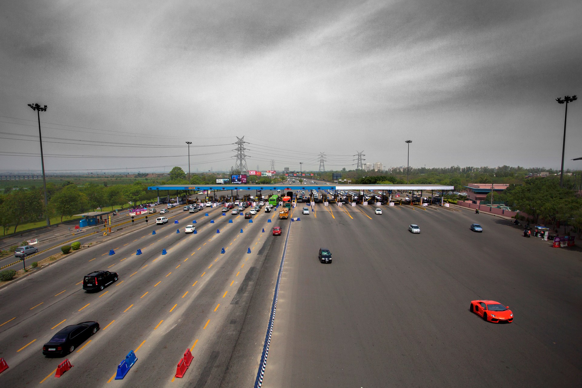
The Delhi–Noida Direct Flyway or DND Flyway is India's first 8-lane wide, long access-controlled expressway in Delhi NCR. It connects Maharani Bagh and Nizamuddin on the western side to Noida (Sector-15A) and Mayur Vihar on the eastern side of the Yamuna river. The Noida Toll Bridge Company Limited (NTBCL) operate and maintains it on build-own-operate-transfer (BOOT) basis. The expressway, which was opened to the public in January 2001 was constructed by IL & FS. DND Flyway was inaugurated four months ahead of schedule on 24 January 2001 by the then Chief Minister of Uttar Pradesh Rajnath Singh in presence of then Lt. Governor of Delhi Vijai Kapoor & the then Chief Minister of Delhi Sheila Dixit. The junction of DND Flyway and Inner Ring Road at Maharani Bagh in Delhi is the starting point of India's longest under-construction expressway i.e. Delhi–Mumbai Expressway. History DND Flyway grew out of a need to bridge the growing population of Delhi with its neighboring p ... [...More Info...] [...Related Items...] OR: [Wikipedia] [Google] [Baidu] |
Agra
Agra (, ) is a city on the banks of the Yamuna river in the Indian state of Uttar Pradesh, about south-east of the national capital New Delhi and 330 km west of the state capital Lucknow. With a population of roughly 1.6 million, Agra is the fourth-most populous city in Uttar Pradesh and List of cities in India by population, twenty-third most populous city in India. Agra's notable historical period began during Sikandar Lodi's reign, but the golden age of the city began with the Mughals. Agra was the foremost city of the Indian subcontinent and the capital of the Mughal Empire under Mughal emperors Babur, Humayun, Akbar, Jahangir and Shah Jahan. Under Mughal rule, Agra became a centre for learning, arts, commerce, and religion, and saw the construction of the Agra Fort, Sikandra, Agra, Sikandra and Agra's most prized monument, the Taj Mahal, built by Shah Jahan as a mausoleum for his favourite empress. With the decline of the Mughal empire in the late 18th century, the ci ... [...More Info...] [...Related Items...] OR: [Wikipedia] [Google] [Baidu] |


.jpg)


.jpg)
