|
Neopatras
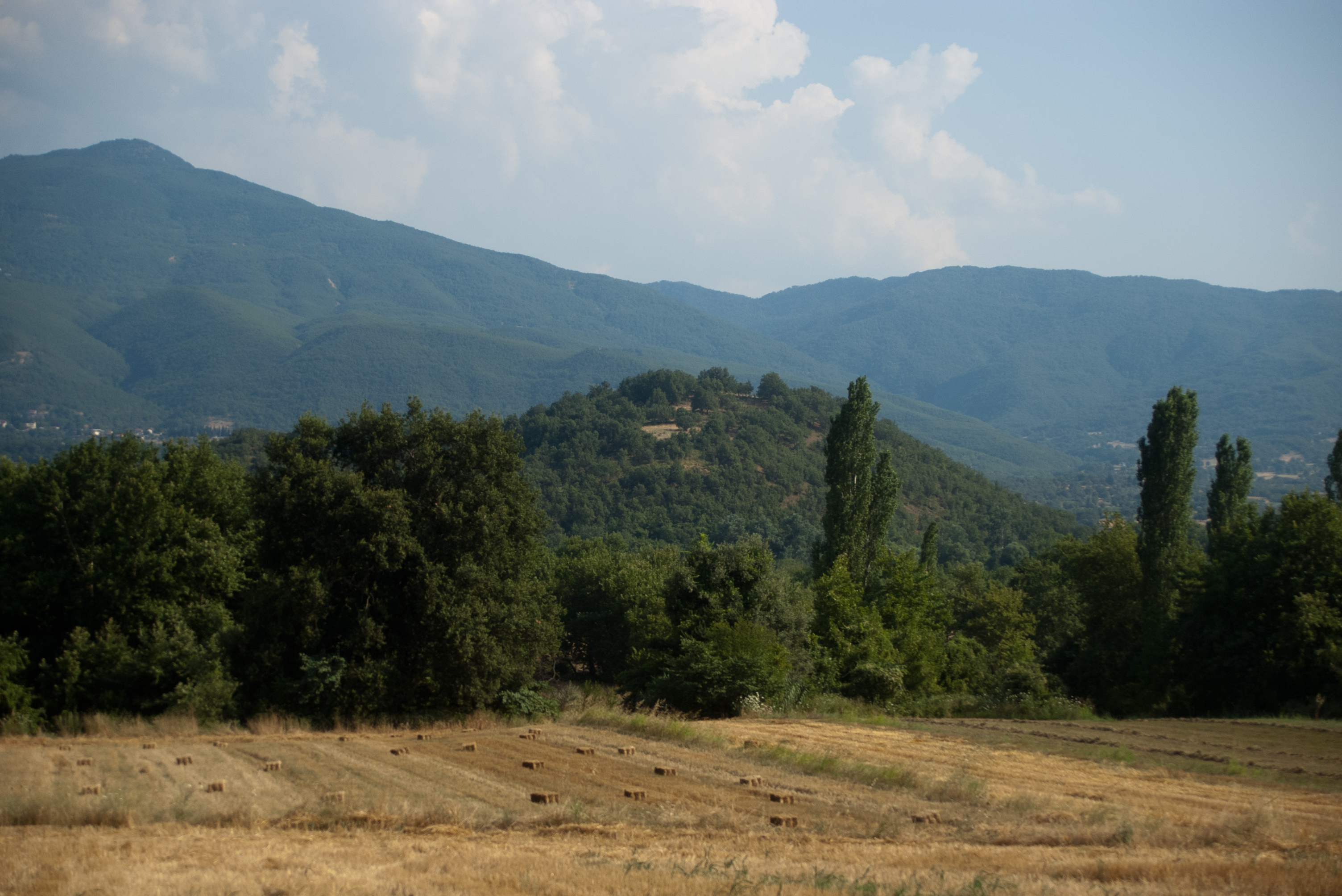
Ypati () is a village and a former municipality in Phthiotis, central peninsular Greece. Since the 2011 local government reform it is part of the municipality of Lamia, of which it is a municipal unit. The municipal unit has an area of 257.504 km2. In 2021 its population was 3,537 for the municipal unit, and 440 for the settlement of Ypati itself. The town has a long history, being founded at the turn of the 5th/4th century BC as the capital of the Aenianes. During the Roman period the town prospered and was regarded as the chief city of Thessaly, as well as a bishopric. It was probably abandoned in the 7th century as a result of the Slavic invasions, but was re-established by the 9th century as Neopatras. The town became prominent as a metropolitan see and was the capital of the Greek principality of Thessaly in 1268–1318 and of the Catalan Duchy of Neopatras from 1319 to 1391. It was conquered by the Ottomans in the early 15th century and remained under Ottoman rule u ... [...More Info...] [...Related Items...] OR: [Wikipedia] [Google] [Baidu] |
Duchy Of Neopatras
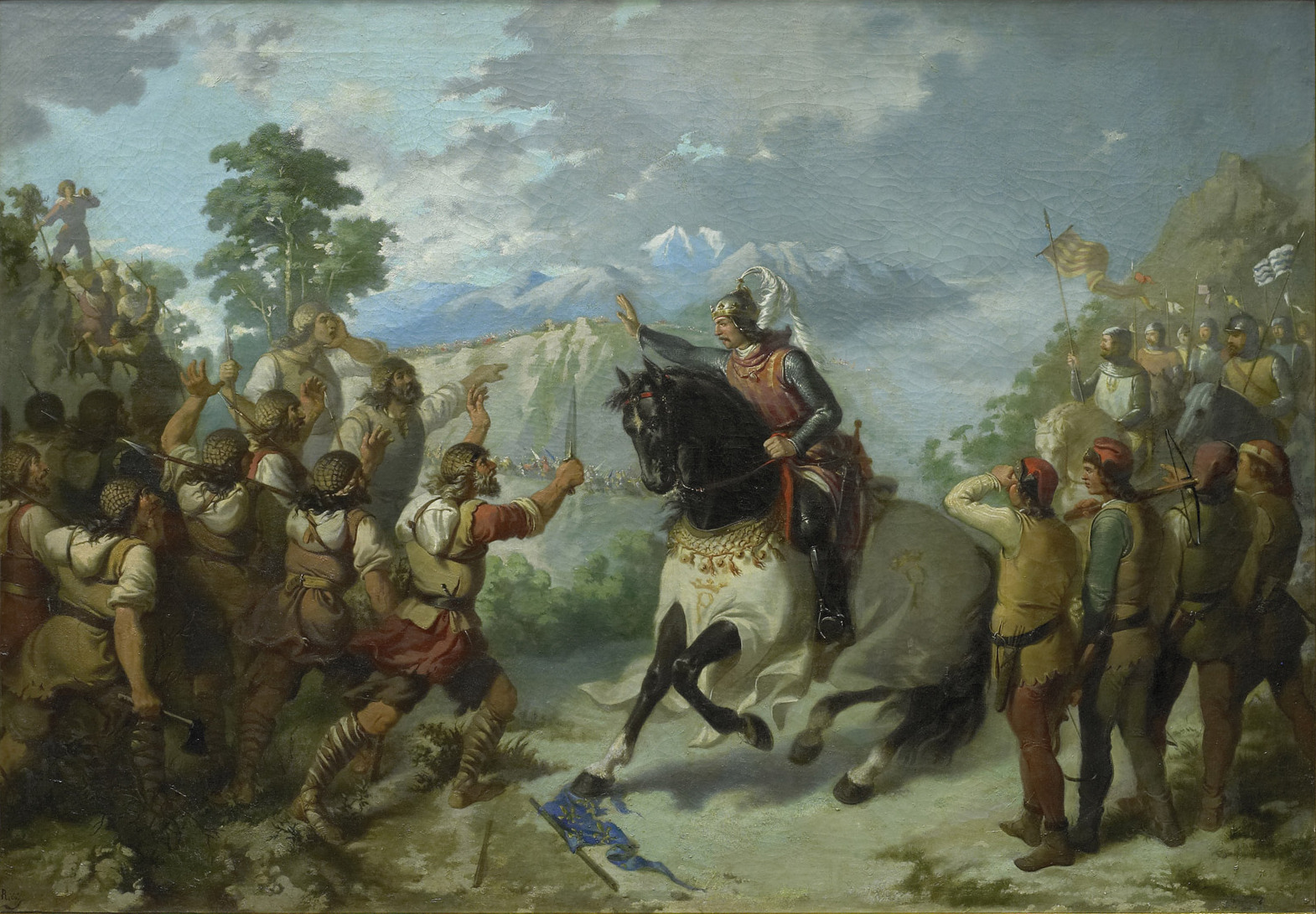
The Duchy of Neopatras (; ; ; ) was a principality in southern Thessaly, established in 1319. Officially part of the Kingdom of Sicily, itself part of the Crown of Aragon, the duchy was governed in conjunction with the neighbouring Duchy of Athens, it enjoyed a large degree of self-government. From the mid-14th century, the duchies entered a period of decline: most of the Thessalian possessions were lost to the Serbian Empire, internal dissensions arose, along with the menace of Turkish piracy in the Aegean and the onset of Ottoman expansion in the Balkans. Enfeebled, the Catalan possessions were taken over by the Florentine adventurer Nerio I Acciaioli in 1385–1390. The title of Duke of Neopatras was held by the heir of the King of Sicily. History When the Greek ruler of Thessaly, John II Doukas, died in 1318 without an heir, his domains fell into chaos. The Almogavars of the Catalan Company, who had recently conquered most of the Duchy of Athens to the south of Thessaly ... [...More Info...] [...Related Items...] OR: [Wikipedia] [Google] [Baidu] |
Ypati
Ypati () is a village and a former municipality in Phthiotis, central peninsular Greece. Since the 2011 local government reform it is part of the municipality of Lamia, of which it is a municipal unit. The municipal unit has an area of 257.504 km2. In 2021 its population was 3,537 for the municipal unit, and 440 for the settlement of Ypati itself. The town has a long history, being founded at the turn of the 5th/4th century BC as the capital of the Aenianes. During the Roman period the town prospered and was regarded as the chief city of Thessaly, as well as a bishopric. It was probably abandoned in the 7th century as a result of the Slavic invasions, but was re-established by the 9th century as Neopatras. The town became prominent as a metropolitan see and was the capital of the Greek principality of Thessaly in 1268–1318 and of the Catalan Duchy of Neopatras from 1319 to 1391. It was conquered by the Ottomans in the early 15th century and remained under Ottoman rule ... [...More Info...] [...Related Items...] OR: [Wikipedia] [Google] [Baidu] |
Mount Oeta
Mount Oeta (; , polytonic , ''Oiti'', also transcribed as ''Oite'') is a mountain in Central Greece. A southeastern offshoot of the Pindus range, it is high. Since 1966, the core area of the mountain is a national park, and much of the rest has been declared a special area under Natura 2000. Location and description Mount Oeta is located on the boundaries of the prefectures of Phocis in the south and Phthiotis in the north. Its northern side displays a steep and inaccessible terrain as it descends to the rift valley of the Spercheios river, forming a series of deep gorges—most famous of which is that of the Gorgopotamos river—a few of which boast large waterfalls, including the Kremastos waterfall, considered the highest in Central Greece. To the east, Oeta is defined by the gorge of the Asopos (Ασωπός) river, which forms its boundary with the neighbouring Mount Kallidromo. The pass along the Asopos valley forms the chief passage between the Spercheios valley in ... [...More Info...] [...Related Items...] OR: [Wikipedia] [Google] [Baidu] |
Catalan Company
The Catalan Company or the Great Catalan Company (; , , , or ) was a company of mercenaries led by Roger de Flor in the early 14th century and hired by Byzantine Emperor Andronikos II Palaiologos to combat the increasing power of the Anatolian beyliks. It was formed by '' almogavar'' veterans of the War of the Sicilian Vespers, who had remained unemployed after the signing in 1302 of the Peace of Caltabellotta between the Crown of Aragon and the French dynasty of the Angevins. Origin The military demands of the Reconquista stimulated the formation of the elite light infantry known as the '' almogavars'' on the Iberian peninsula during the 13th century. These troops were used quite effectively by the Crown of Aragon for other imperial ventures in the Mediterranean, particularly the War of the Sicilian Vespers. They were typically organised in companies (''societates'') of 20 to 50 men, following a chief of recognized military skill. The signing of the Peace of Caltabellotta i ... [...More Info...] [...Related Items...] OR: [Wikipedia] [Google] [Baidu] |
Lamia (city)
Lamia (, ''Lamía'', ) is a city in central Greece. The city dates back to antiquity, and is today the capital of the regional unit of Phthiotis and of the Central Greece region (comprising five regional units). According to the 2021 census, the Municipality of Lamia has a population of 66,657 while Lamia itself has 47,529 inhabitants. The city is located on the slopes of Mount Othrys, near the river Spercheios. It serves as the agricultural center of a fertile rural and livestock area. Name One account says that the city was named after the mythological figure of Lamia, the daughter of Poseidon and queen of the Trachineans. Another holds that it is named after the Malians, the inhabitants of the surrounding area. In the Middle Ages, Lamia was called Zetounion (Ζητούνιον), a name first encountered in the 8th Ecumenical Council in 869. It was known as Girton under Frankish rule following the Fourth Crusade and later El Citó when it was controlled by the Catalan Com ... [...More Info...] [...Related Items...] OR: [Wikipedia] [Google] [Baidu] |
Aenianes
Ainis (, , Modern Greek , ) or Aeniania (), was a region of ancient Greece located near Lamia in modern Central Greece, roughly corresponding to the upper valley of the Spercheios river. Name The region takes its name from the tribe of the Ainianians, who dwelt in the area. The name ''Ainis'' first occurs in Roman times; the only known earlier name of the region was "land of the Aenianians", ''Ainianōn khōra'' (Theopompus). Geography Ainis is located in the upper Spercheios valley, bordering with Dolopia in the west, Oitaia in the south, Malis in the east and Achaia Phthiotis in the north.H. Kramolisch, "Ainianes" ''Der Neue Pauly'', Brill Online, 2013. The exact borders with Oitaia and Malis have never been established.M. H. Hansen & T. Heine Nielsen (eds.), ''An inventory of Archaic and Classical poleis'', Oxford 2004. The river Spercheios flows through the region on its way down to the Maliac Gulf, and is joined in Ainis by its chief tributary the Inachos. The area is l ... [...More Info...] [...Related Items...] OR: [Wikipedia] [Google] [Baidu] |
Thessaly
Thessaly ( ; ; ancient Aeolic Greek#Thessalian, Thessalian: , ) is a traditional geographic regions of Greece, geographic and modern administrative regions of Greece, administrative region of Greece, comprising most of the ancient Thessaly, ancient region of the same name. Before the Greek Dark Ages, Thessaly was known as Aeolia (, ), and appears thus in Homer's ''Odyssey''. Thessaly Convention of Constantinople (1881), became part of the modern Greek state in 1881, after four and a half centuries of Ottoman Greece, Ottoman rule. Since 1987 it has formed one of the country's 13 Modern regions of Greece, regions and is further (since the Kallikratis reform of 2011) sub-divided into five regional units of Greece, regional units and 25 municipalities of Greece, municipalities. The capital of the region is Larissa. Thessaly lies in northern central Greece and borders the regions of Macedonia (Greece), Macedonia to the north, Epirus (region), Epirus to the west, Central Greece (geo ... [...More Info...] [...Related Items...] OR: [Wikipedia] [Google] [Baidu] |
Central Greece (administrative Region)
Central Greece (, , colloquially known as Ρούμελη (''Roúmeli'')) is one of the thirteen administrative regions of Greece. The region occupies the eastern part of the traditional region of Central Greece, including the island of Euboea. To the south it borders the regions of Attica and the Peloponnese, to the west the region of Western Greece, to the north the region of Thessaly and to the northwest it shares a small border with Epirus Epirus () is a Region#Geographical regions, geographical and historical region, historical region in southeastern Europe, now shared between Greece and Albania. It lies between the Pindus Mountains and the Ionian Sea, stretching from the Bay .... Its capital city is Lamia and the largest city is Chalcis. Administration The region was established in the 1987 administrative reform. With the 2010 Kallikratis plan, its powers and authority were redefined and extended. Along with Thessaly, it is supervised by the Decentralize ... [...More Info...] [...Related Items...] OR: [Wikipedia] [Google] [Baidu] |
Spercheios
The Spercheios (, ''Sperkheiós''), also known as the Spercheus from its Latinization of names, Latin name, is a river in Phthiotis in Central Greece (geographic region), central Greece. It is long, and its drainage area is . It was worshipped as a Greek god, god in the ancient Greek religion and appears in some collections of Greek mythology. In classical antiquity, antiquity, its upper valley was known as Ainis. In AD 997, its valley was the site of the Battle of Spercheios, which ended First Bulgarian Empire, Bulgarian incursions into the Byzantine Empire. It is referenced in a surviving fragment of Aeschylus' play ''Philoctetes (Sophocles play), Philoctetes'', quoted in ''The Frogs'', as a place for cattle. River The river begins in the Tymfristos mountains on the border with Evrytania and flows to the east through the village Agios Georgios Tymfristou, entering a wide plain. It flows along the towns Makrakomi and Leianokladi, and south of the Phthiotidan capital Lamia ... [...More Info...] [...Related Items...] OR: [Wikipedia] [Google] [Baidu] |
Phocis
Phocis (; ; ) is one of the regional units of Greece. It is part of the administrative region of Central Greece. It stretches from the western mountainsides of Parnassus on the east to the mountain range of Vardousia on the west, upon the Gulf of Corinth. It is named after the ancient region of Phocis, but the modern regional unit also includes parts of ancient Aetolia, Locris and Doris. Geography Modern Phocis has an area of , of which are forested, are plains, and the remainder is mountainous. The massive ridge of Parnassus (, which traverses the heart of the country, divides it into two distinct portions. The neighbouring prefectures are Aetolia-Acarnania to the west, Phthiotis to the north and Boeotia to the east. It also shares a tiny border with Evrytania. Much of the south and east are deforested and rocky and mountainous while the valley runs from Itea up to Amfissa. Forests and green spaces are to the west, the central part and the north. Its reservoir is ... [...More Info...] [...Related Items...] OR: [Wikipedia] [Google] [Baidu] |


