|
Nellikuzhi
Nellikuzhi "THE FURNITURE VILLAGE OF KERALA" is a Grama panchayat in Kothamangalam Taluk, Ernakulam district, Kerala, situated on the Aluva-Munnar State Highway. Nellikuzhi is famous for its furniture business. There are hundreds of furniture showrooms and thousands of production units. Nellikuzhi caters the main demand of hardwood furniture in South India. It covers an area of , and is a suburban area of Kothamangalam town, situated 3.5 km away. Muvattupuzha and Perumbavoor towns are situated 15 km away from Nellikuzhy. Nellikuzhi is the hometown of Sri T. M. Meethian, Ex-MLA of Kothamangalam, a mediator in Kothamangalam Taluk. Demographics As of 2001, its total population was 29,593, for a density of . There were 14,932 males and 14,661 females. The literacy rate was 86.61%. History The first Iramalloor Village unit was formed in 1946, covering the Panchayat area as part of old Travancore under Muvattupuzha Taluk before formation of Travancore-Cochin state in 1 ... [...More Info...] [...Related Items...] OR: [Wikipedia] [Google] [Baidu] |
Thrikkariyoor
Thrikariyoor is a village in Nellikuzhi panchayath in Ernakulam district in the Indian state of Kerala. Thrikkariyoor Mahadeva Temple is nearby. Demographics India census A census is the procedure of systematically acquiring, recording and calculating information about the members of a given population. This term is used mostly in connection with national population and housing censuses; other common censuses incl ..., Thrikkariyoor had a population of 14424 with 7125 males and 7299 females. References Villages in Ernakulam district {{Ernakulam-geo-stub ... [...More Info...] [...Related Items...] OR: [Wikipedia] [Google] [Baidu] |
Kothamangalam
Kothamangalam, , is a municipality in Ernakulam district of Kerala, India. The town is in the foothills of the Western Ghats, and is a part of the Idukki Lok Sabha constituency. The town serves as the headquarters of a taluk and a municipality of the same name. Geography Kothamangalam is situated in the eastern part of the Ernakulam district. According to the division of the geographical regions of Kerala, Kothamangalam is in a mid-land region. The general topography is hilly. The Periyar, the largest river in Kerala, flows through the taluk. There are dams built across the Periyar at Edamalayar, Lower Periyar, and Bhoothathankettu for hydroelectricity generation and irrigation purposes. The current Kothamangalam region was historically known as Malakhachira (). Kothamangalamar, a small river which flows through the town joins Kaliyar and Thodupuzhayar to form the Muvattupuzhayar, which is the second largest river in Ernakulam. Demographics According to the 2011 Census ... [...More Info...] [...Related Items...] OR: [Wikipedia] [Google] [Baidu] |
Grama Panchayat
Gram Panchayat () is a basic village-governing institute in Indian villages. It is a democratic structure at the grass-roots level in India. It is a political institute, acting as cabinet of the village. The Gram Sabha work as the general body of the Gram Panchayat. The members of the Gram Panchayat are elected by the Gram Sabha. There are about 250,000+ Gram Panchayats in India. History Established in various states of India, the Panchayat Raj system has three tiers: Zila Parishad, at the district level; Panchayat Samiti, at the block level; and Gram Panchayat, at the village level. Rajasthan was the first state to establish Gram Panchayat, Bagdari Village (Nagaur District) being the first village where Gram Panchayat was established, on 2 October 1959. The failed attempts to deal with local matters at the national level caused, in 1992, the reintroduction of Panchayats for their previously used purpose as an organisation for local self-governance. Structure Gram P ... [...More Info...] [...Related Items...] OR: [Wikipedia] [Google] [Baidu] |
Ernakulam District
Ernakulam, ; ISO: ''Eṟaṇākuḷaṁ'', in Malayalam: എറണാകുളം), is one of the 14 districts in the Indian state of Kerala, that takes its name from the eponymous city division in Kochi. It is situated in the central part of the state, spans an area of about , and is home to over 9% of Kerala's population. Its headquarters are located at Kakkanad. The district includes Kochi, also known as the commercial capital of Kerala, which is famous for its ancient Churches, Hindu temples, synagogues and mosques. The district includes the largest metropolitan region of the state: Greater Cochin. Ernakulam is the district that yields the most revenue and the largest number of industries in the state. Ernakulam is the third most populous district in Kerala, after Malappuram and Thiruvananthapuram (out of 14 districts). The district also hosts the highest number of international and domestic tourists in Kerala state. The most commonly spoken language in Ernakulam is Mal ... [...More Info...] [...Related Items...] OR: [Wikipedia] [Google] [Baidu] |
Kerala
Kerala ( ; ) is a state on the Malabar Coast of India. It was formed on 1 November 1956, following the passage of the States Reorganisation Act, by combining Malayalam-speaking regions of the erstwhile regions of Cochin, Malabar, South Canara, and Thiruvithamkoor. Spread over , Kerala is the 21st largest Indian state by area. It is bordered by Karnataka to the north and northeast, Tamil Nadu to the east and south, and the Lakshadweep Sea to the west. With 33 million inhabitants as per the 2011 census, Kerala is the 13th-largest Indian state by population. It is divided into 14 districts with the capital being Thiruvananthapuram. Malayalam is the most widely spoken language and is also the official language of the state. The Chera dynasty was the first prominent kingdom based in Kerala. The Ay kingdom in the deep south and the Ezhimala kingdom in the north formed the other kingdoms in the early years of the Common Era (CE). The region had been a prominent spic ... [...More Info...] [...Related Items...] OR: [Wikipedia] [Google] [Baidu] |
Muvattupuzha
Muvattupuzha () is a town in the midlands directly to the east of Kochi in Ernakulam district, Kerala, India. It is located about from downtown Kochi, and is a growing urban centre in central Kerala. The town is also the starting point of the Muvattupuzhayar (Muvattupuzha river), which is a confluence formed by three rivers: the Thodupuzhayar, Kaliyar, and Kothayar. Muvattupuzha is bordered by the Kottayam district on the southern side and the Idukki district on the eastern side. Muvattupuzha lies on the intersection between MC Road and National Highway 49, about from the district capital Ernakulam. Muvattupuzha is located from Thodupuzha, from Koothattukulam, and away from Arakuzha. It is the second biggest commercial center of the district and one of the biggest in the central part of the state. There are two major malls: Canton Mall & Grand Central Mall. Etymology The town is named after the Muvattupuzha river that flows through it. The name is made up of thr ... [...More Info...] [...Related Items...] OR: [Wikipedia] [Google] [Baidu] |
Perumbavoor
Perumbavoor (, Malayalam: പെരുമ്പാവൂർ) is a historic place located at Bank of Periyar (Poorna River) in Ernakulam District in the Indian state of Kerala. It is a part of the Kochi metropolitan area It lies in the north-eastern tip of the Greater Cochin area and is also the headquarters of Kunnathunad Taluk. Perumbavoor is famed in the state for wood industries and small-scale industries. Ernakulam lies 30 km southwest of Perumbavoor. The town lies between Angamaly and Muvattupuzha on the Main Central Road (MC), which connects Thiruvananthapuram to Angamaly through the old Travancore part of Kerala. Perumbavoor lies in the banks of river Periyar. Perumbavoor has many immigrants from other parts of India, including West Bengal, Orissa, and Uttar Pradesh. Most work in the plywood or other industries. Tamils, Assamese and Nepalese have special colonies of their own. The state government and the Greater kochi development authority have plans to in ... [...More Info...] [...Related Items...] OR: [Wikipedia] [Google] [Baidu] |
Mediation
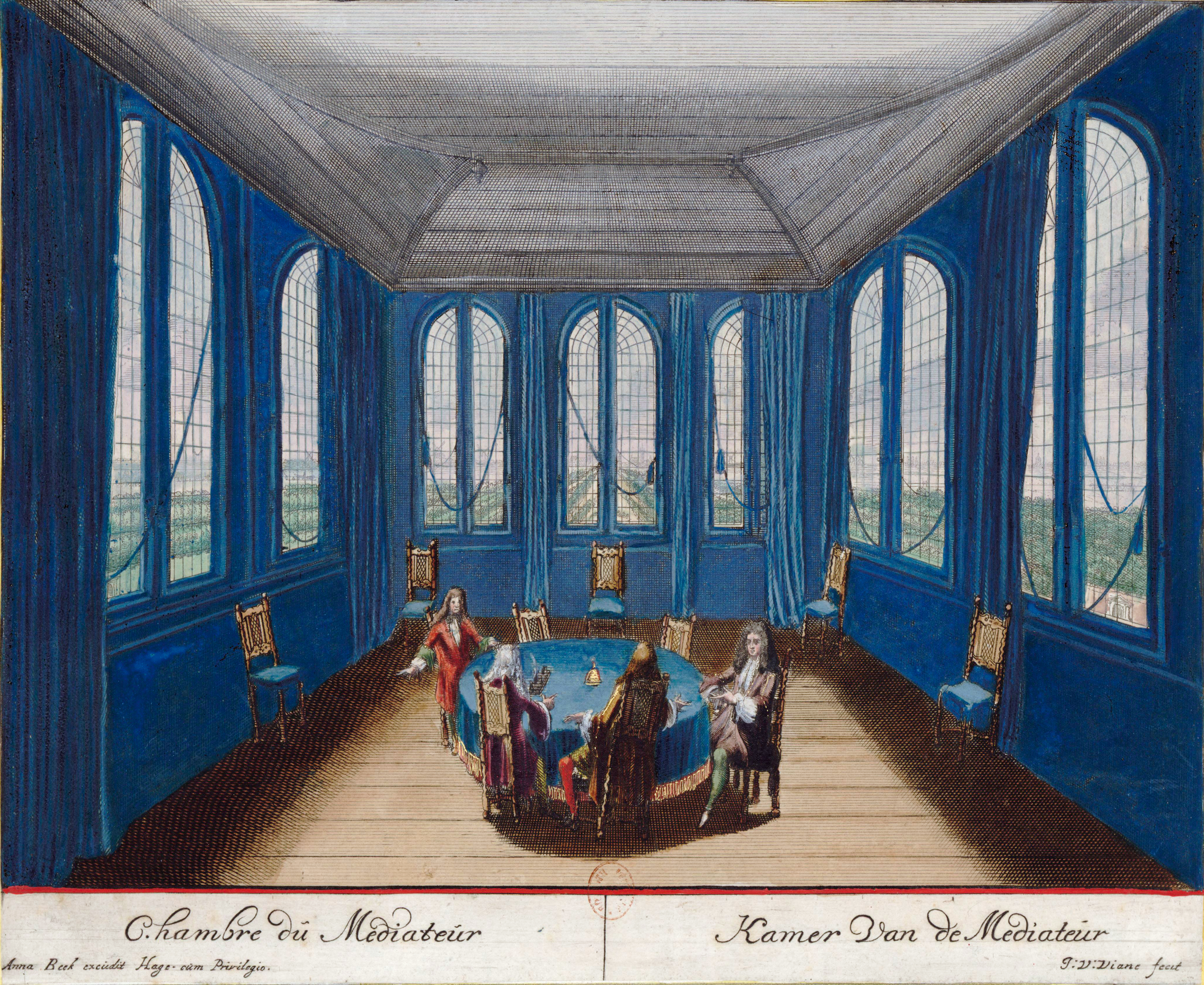
Mediation is a structured, interactive process where an impartial third party neutral assists disputing parties in resolving conflict through the use of specialized communication and negotiation techniques. All participants in mediation are encouraged to actively participate in the process. Mediation is a "party-centered" process in that it is focused primarily upon the needs, rights, and interests of the parties. The mediator uses a wide variety of techniques to guide the process in a constructive direction and to help the parties find their optimal solution. A mediator is facilitative in that she/he manages the interaction between parties and facilitates open communication. Mediation is also evaluative in that the mediator analyzes issues and relevant norms ("reality-testing"), while refraining from providing prescriptive advice to the parties (e.g., "You should do..."). Mediation, as used in law, is a form of alternative dispute resolution resolving disputes between two o ... [...More Info...] [...Related Items...] OR: [Wikipedia] [Google] [Baidu] |
Karur
Karur () is a city in the Indian state of Tamil Nadu. Karur is the administrative headquarters of Karur district. It is located on the banks of River Amaravathi, Kaveri and Noyyal. Karur is well known for the export of Home Textile products to USA, UK, Australia, Europe and many more countries. It is situated at about 395 kilometers southwest of the state capital Chennai, 75 km from Tiruchirappalli, 120 km away from Coimbatore, 295 km away from Bengaluru and 300 km away from Kochi. Etymology Karur is mentioned in inscriptions and literature by two names, Karuvoor (the home of Karuvoor Devar) and Vanji. Additionally, it has been referred to as: Adipuram, Tiruaanilai, Paupatheechuram, Karuvaippatinam, Vanjularanyam, Garbhapuram, Thiru vithuvakkottam, Bhaskarapuram, Mudivazhangu Viracholapuram, Karapuram, Aadaga maadam, Cherama nagar and Shanmangala Kshetram. Among them, the name Adipuram, meaning the first city seems to indicate that it was held as the forem ... [...More Info...] [...Related Items...] OR: [Wikipedia] [Google] [Baidu] |
Buddha
Siddhartha Gautama, most commonly referred to as the Buddha, was a śramaṇa, wandering ascetic and religious teacher who lived in South Asia during the 6th or 5th century BCE and founded Buddhism. According to Buddhist tradition, he was born in Lumbini, in what is now Nepal, to royal parents of the Shakya clan, but Great Renunciation, renounced his Householder (Buddhism), home life to live as a wandering ascetic ( sa, śramaṇa). After leading a life of begging, asceticism, and meditation, he attained Enlightenment in Buddhism, enlightenment at Bodh Gaya in what is now India. The Buddha thereafter wandered through the lower Indo-Gangetic Plain, teaching and building a Sangha, monastic order. He taught a Middle Way between sensual indulgence and severe asceticism, leading to Nirvana (Buddhism), Nirvana, that is, Vimutti, freedom from Avidyā (Buddhism), ignorance, Upādāna, craving, Saṃsāra (Buddhism), rebirth, and suffering. His teachings are summarized in the Noble ... [...More Info...] [...Related Items...] OR: [Wikipedia] [Google] [Baidu] |


.jpg)