|
National Register Of Historic Places Listings In Lincoln County, South Dakota
__NOTOC__ This is a list of the National Register of Historic Places listings in Lincoln County, South Dakota. This is intended to be a complete list of the properties and districts on the National Register of Historic Places in Lincoln County, South Dakota, United States. The locations of National Register properties and districts for which the latitude and longitude coordinates are included below, may be seen in a map. There are 27 properties and districts listed on the National Register in the county, including 1 National Historic Landmark. Another 2 properties were once listed but have been removed. Current listings Former listings See also * List of National Historic Landmarks in South Dakota * National Register of Historic Places listings in South Dakota This is a list of properties and historic districts in the U.S. state of South Dakota that are listed on the National Register of Historic Places. The state's more than 1,300 l ... [...More Info...] [...Related Items...] OR: [Wikipedia] [Google] [Baidu] |
Map Of South Dakota Highlighting Lincoln County
A map is a symbolic depiction emphasizing relationships between elements of some space, such as Physical body, objects, regions, or themes. Many maps are static, fixed to paper or some other durable medium, while others are dynamic or interactive. Although most commonly used to depict geography, maps may represent any space, real or fictional, without regard to Context (language use), context or Scale (map), scale, such as in brain mapping, DNA mapping, or computer network topology mapping. The space being mapped may be two dimensional, such as the surface of the earth, three dimensional, such as the interior of the earth, or even more abstract spaces of any dimension, such as arise in modeling phenomena having many independent variables. Although the earliest maps known are of the heavens, geographic maps of territory have a very long tradition and exist from ancient times. The word "map" comes from the , wherein ''mappa'' meant 'napkin' or 'cloth' and ''mundi'' 'the world'. ... [...More Info...] [...Related Items...] OR: [Wikipedia] [Google] [Baidu] |
Worthing, South Dakota
Worthing is a city in Lincoln County, South Dakota, United States and is a suburb of Sioux Falls. The population was 927 at the 2020 census. History Worthing was laid out in 1879, and named after a railroad employee. Geography Worthing is located at (43.328868, -96.766593). According to the United States Census Bureau, the city has a total area of , all land. Worthing has been assigned the ZIP code 57077 and the FIPS place code 72820. Demographics 2010 census As of the census of 2010, there were 877 people, 325 households, and 236 families residing in the town. The racial makeup of the town was 96.6% White, 1.0% Black or African-American, 0.8% Native American, 0.3% Asian, 0.0% from other races, and 1.3% from two or more races. Hispanic or Latino of any race were 0.7% of the population. There were 325 households, of which 44.6% had children under the age of 18 living with them, 60.6% were married couples living together, 8.3% had a female householder with no husband pres ... [...More Info...] [...Related Items...] OR: [Wikipedia] [Google] [Baidu] |
National Register Of Historic Places Listings In South Dakota
This is a list of properties and historic districts in the U.S. state of South Dakota that are listed on the National Register of Historic Places. The state's more than 1,300 listings are distributed across all of its 66 counties. The locations of National Register properties and districts (at least for all showing latitude and longitude coordinates below), may be seen in an online map by clicking on "Map of all coordinates". The following are approximate tallies of current listings by county.These counts are based on entries in the National Register Information Database as of March 13, 2009 and new weekly listings posted since then on the National Register of Historic Places web site. There are frequent additions to the listings and occasional delistings and the counts here are approximate and not official. New entries are added to the official Register on a weekly basis. Also, the counts in this table exclude boundary increase and decrease listings which only modify the area ... [...More Info...] [...Related Items...] OR: [Wikipedia] [Google] [Baidu] |
List Of National Historic Landmarks In South Dakota
The List of National Historic Landmarks in South Dakota contains the landmarks designated by the U.S. Federal Government for the U.S. state of South Dakota. There are 16 National Historic Landmarks (NHLs) in South Dakota, one of which is shared with Iowa and listed by the National Park Service as primarily in that state. They have been designated in 13 of South Dakota's 66 counties. Most are along rivers, long the chief areas of human settlement in this arid place. Current NHLs Historic areas in the United States National Park System National Historic Sites, National Historic Parks, National Memorials, and certain other areas listed in the National Park system are historic landmarks of national importance that are highly protected already, often before the inauguration of the NHL program in 1960, and are often not also named NHLs ''per se''. Two additional South Dakota sites have national historical importance and have been designated as National Historic ... [...More Info...] [...Related Items...] OR: [Wikipedia] [Google] [Baidu] |
Sioux Falls, South Dakota
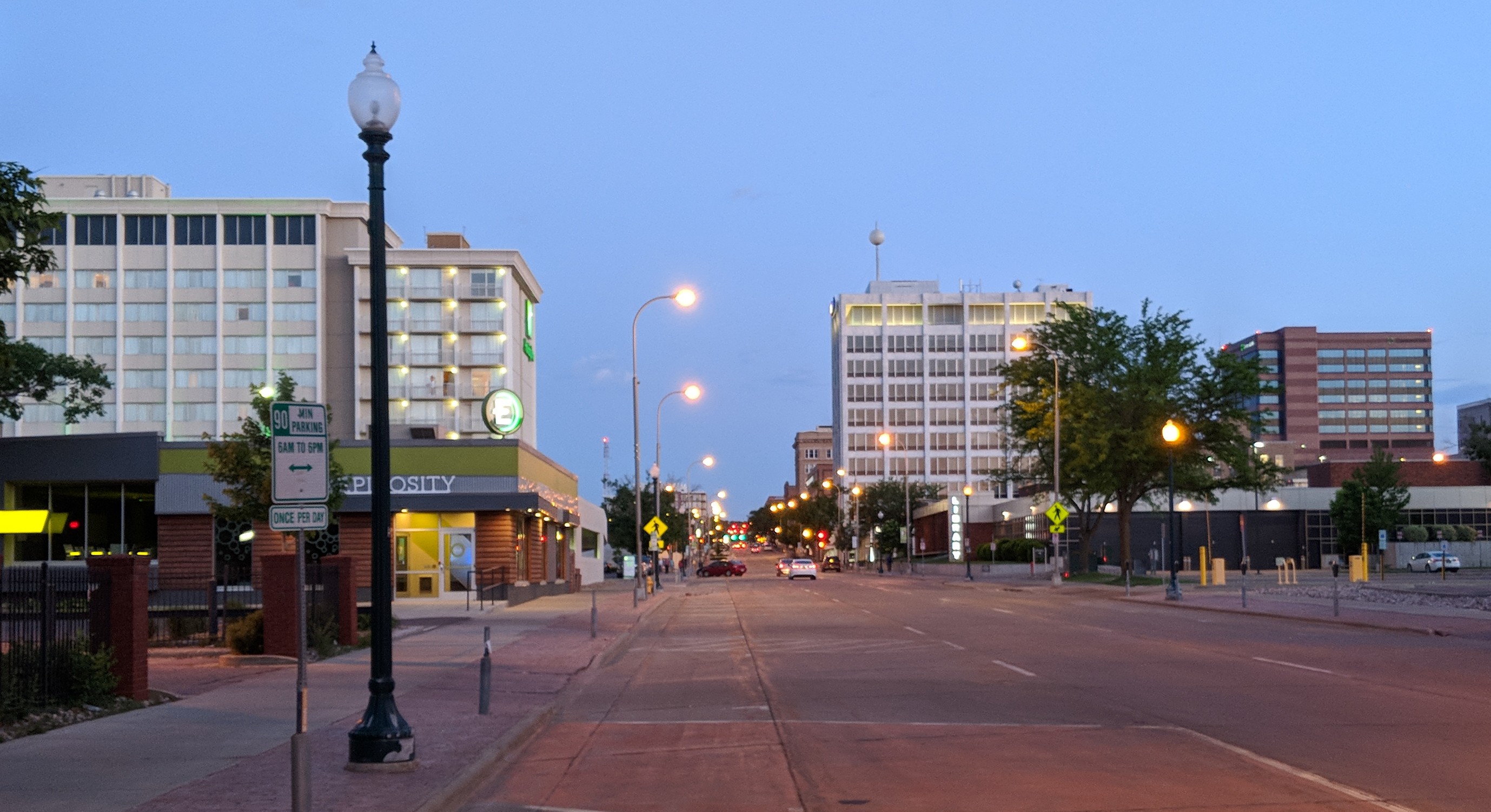
Sioux Falls () is the most populous city in the U.S. state of South Dakota and the 130th-most populous city in the United States. It is the county seat of Minnehaha County and also extends into Lincoln County to the south, which continues up to the Iowa state line. As of 2020, Sioux Falls had a population of 192,517, which was estimated in 2022 to have increased to 202,600. The Sioux Falls metro area accounts for more than 30% of the state's population. Chartered in 1856 on the banks of the Big Sioux River, the city is situated in the rolling hills at the junction of interstates 29 and 90. History The history of Sioux Falls revolves around the cascades of the Big Sioux River. The falls were created about 14,000 years ago during the last ice age. The lure of the falls has been a powerful influence. Ho-Chunk, Ioway, Otoe, Missouri, Omaha (and Ponca at the time), Quapaw, Kansa, Osage, Arikira, Dakota, and Cheyenne people inhabited and settled the region previous to Europea ... [...More Info...] [...Related Items...] OR: [Wikipedia] [Google] [Baidu] |
South Dakota Highway 11
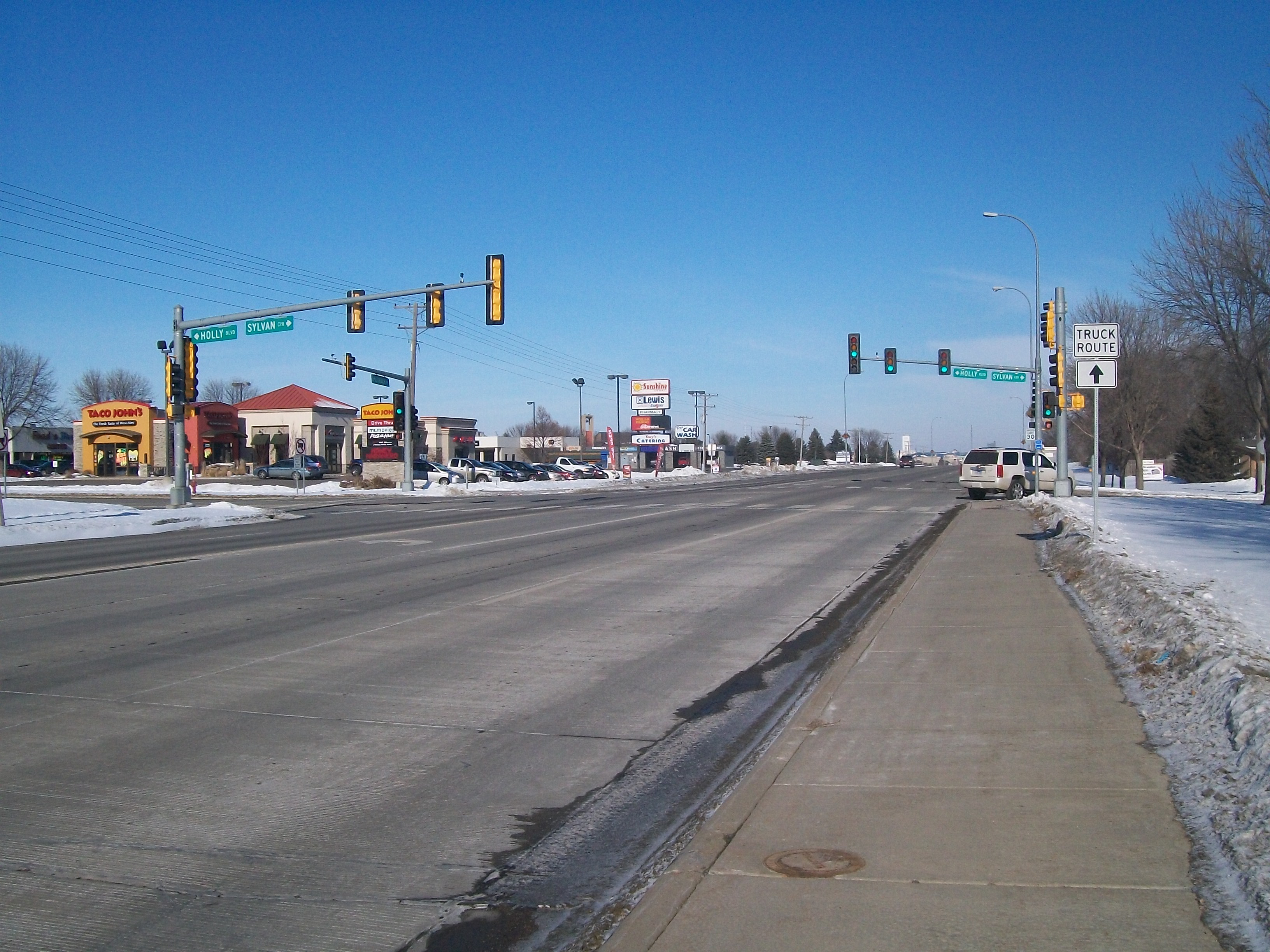
South Dakota Highway 11 (SD 11) is a state highway in eastern South Dakota, United States. It connects the northern part of the Sioux City metropolitan area with the Sioux Falls metropolitan area. The highway originally traveled on the current path of SD 115 in Sioux Falls and Dell Rapids, and ended north of Elkton. In the 1930s, SD 11 was shifted to its current alignment; part of the highway became SD 13. The southern segment was added between 1962 and 1971. Part of the highway in Sioux Falls was changed in early 1990s. The segment between SD 46 and US 18 was added in the 1990s. Route description SD 11 is defined by South Dakota Codified Law §31-4-131. According to this statute, the segment of the road between SD 50 and SD 48 is currently not a portion of the highway. The segment of the highway in Sioux Falls from 85th Street through the concurrency with SD 42, as well as the segment from the Madison Street intersec ... [...More Info...] [...Related Items...] OR: [Wikipedia] [Google] [Baidu] |
Hudson, South Dakota
Hudson is a town in Lincoln County, South Dakota, United States. The population was 311 at the 2020 census. It is the easternmost community in South Dakota. The town takes its name from Hudson, Iowa, the native home of a large share of the early settlers. Geography Hudson is located at (43.129824, -96.454627), along the Big Sioux River.DeLorme (2001). ''South Dakota Atlas & Gazetteer''. Yarmouth, Maine: DeLorme. According to the United States Census Bureau, the town has a total area of , all land. Hudson has been assigned the ZIP code 57034 and the FIPS place code 30740. Demographics 2010 census As of the census of 2010, there were 296 people, 126 households, and 70 families residing in the town. The population density was . There were 150 housing units at an average density of . The racial makeup of the town was 98.3% White, 1.0% Native American, and 0.7% from two or more races. There were 126 households, of which 19.8% had children under the age of 18 living with ... [...More Info...] [...Related Items...] OR: [Wikipedia] [Google] [Baidu] |
Lennox, South Dakota
Lennox is a city in Lincoln County, South Dakota, United States, located southwest of Sioux Falls. The population was 2,423 at the 2020 census. History The city has the name of Ben Lennox, private secretary to the general manager to the Milwaukee Railroad. Geography Lennox is located at (43.353769, -96.895489). According to the United States Census Bureau, the city has a total area of , all land. Lennox has been assigned the ZIP code 57039 and the FIPS place code 36380. There are July 4 festivities each year, including the firecracker road race in the morning and a parade afterward. Demographics 2010 census As of the census of 2010, there were 2,111 people, 842 households, and 542 families living in the city. The population density was . There were 914 housing units at an average density of . The racial makeup of the city was 98.2% White, 0.1% African American, 0.6% Native American, 0.4% Asian, and 0.6% from two or more races. Hispanic or Latino of any race were 1.1% o ... [...More Info...] [...Related Items...] OR: [Wikipedia] [Google] [Baidu] |
Tea, South Dakota
Tea is a city in Lincoln County, South Dakota, United States and is a suburb of Sioux Falls. The population was 5,598 at the 2020 census. Tea was laid out in 1894. The name "Tea" was selected on account of its brevity. Geography Tea is located at (43.448055, -96.837587). According to the United States Census Bureau, the city has a total area of , all land. Demographics 2010 census As of the census of 2010, there were 3,806 people, 1,254 households, and 1,009 families living in the city. The population density was . There were 1,354 housing units at an average density of . The racial makeup of the city was 96.9% White, 0.7% African American, 0.1% Native American, 0.1% Asian, 0.3% from other races, and 1.9% from two or more races. Hispanic or Latino of any race were 1.3% of the population. There were 1,254 households, of which 59.1% had children under the age of 18 living with them, 63.2% were married couples living together, 12.6% had a female householder with no husband ... [...More Info...] [...Related Items...] OR: [Wikipedia] [Google] [Baidu] |
National Register Of Historic Places
The National Register of Historic Places (NRHP) is the United States federal government's official list of districts, sites, buildings, structures and objects deemed worthy of preservation for their historical significance or "great artistic value". A property listed in the National Register, or located within a National Register Historic District, may qualify for tax incentives derived from the total value of expenses incurred in preserving the property. The passage of the National Historic Preservation Act (NHPA) in 1966 established the National Register and the process for adding properties to it. Of the more than one and a half million properties on the National Register, 95,000 are listed individually. The remainder are contributing resources within historic districts. For most of its history, the National Register has been administered by the National Park Service (NPS), an agency within the U.S. Department of the Interior. Its goals are to help property owners and inte ... [...More Info...] [...Related Items...] OR: [Wikipedia] [Google] [Baidu] |


