|
Narsinghpur State
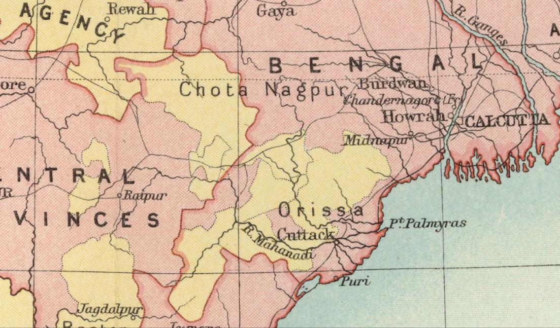
Narsinghpur State () was one of the princely states of India during the British Raj. The state was founded in the 17th century and had its capital in Narasinghpur town. The last ruler of Narsinghpur joined the state to the Dominion of India, Indian Union in 1948 and Narsinghpur state was made part of the Cuttack district of Odisha. The state was bound in the north by a forested mountain range which marked the border with Hindol State and Angul District; in the east it was bound by Baramba State and in the south and southwest by the Mahanadi River. History According to legends, Narsinghpur was founded in the 13th century by two powerful Khond chiefs named Narsingh and Poro, the state being named after the former, who were defeated by a chieftain Dharma Singh. Historically, no records or ''farmans'' exist about Narsinghpur during both the Mughal Empire, Mughal and Maratha Empires. Eventually it was under the Puri Gajapati raja under whom it was a feudatory state, that the local c ... [...More Info...] [...Related Items...] OR: [Wikipedia] [Google] [Baidu] |
British India
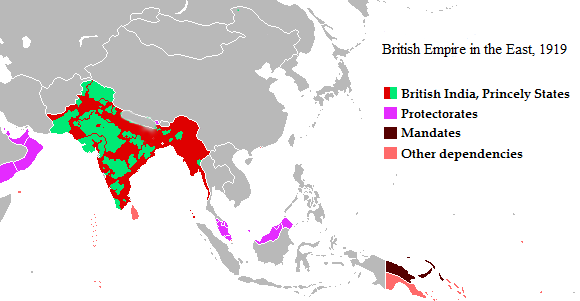
The provinces of India, earlier presidencies of British India and still earlier, presidency towns, were the administrative divisions of British governance in South Asia. Collectively, they have been called British India. In one form or another, they existed between 1612 and 1947, conventionally divided into three historical periods: *Between 1612 and 1757, the East India Company set up "factories" (trading posts) in several locations, mostly in coastal India, with the consent of the Mughal emperors, Maratha Empire or local rulers. Its rivals were the merchant trading companies of Portugal, Denmark, the Netherlands, and France. By the mid-18th century three ''Presidency towns'': Madras, Bombay and Calcutta, had grown in size. *During the period of Company rule in India, 1757–1858, the Company gradually acquired sovereignty over large parts of India, now called "Presidencies". However, it also increasingly came under British government oversight, in effect sharing sovereig ... [...More Info...] [...Related Items...] OR: [Wikipedia] [Google] [Baidu] |
Angul District
Angul district; also known as Anugul, is one of the list of districts of Odisha, thirty districts of Odisha in eastern India. The city of Angul is the district headquarters of Angul district. A major industrial hub of the state, the district hosts numerous industries relating to coal, bauxite and steel apart from extensive forests including the Satkosia Tiger Reserve. History The name "Angul" of the district originates from its headquarters, Angul. According to L.S.S. O’Malley, the name is believed to be a transformation of "Anugol," with a legend attached. In the past, the region was inhabited by Khonds, Savaras, and Gondi people, Gonds, with Khonds being predominant. It was divided into principalities led by Khond chiefs, until the Odisha King established rule, aided by Rajputs and adventurers, over the Khonds who paid tribute. The last Khond chief, Anu, rebelled, and a conspiracy led to his deposition through a struggle called "gol." The conquerors commemorated their vict ... [...More Info...] [...Related Items...] OR: [Wikipedia] [Google] [Baidu] |
Princely States Of Odisha
A prince is a male ruler (ranked below a king, grand prince, and grand duke) or a male member of a monarch's or former monarch's family. ''Prince'' is also a title of nobility (often highest), often hereditary, in some European states. The female equivalent is a princess. The English word derives, via the French word ''prince'', from the Latin noun , from (first) and (head), meaning "the first, foremost, the chief, most distinguished, noble ruler, prince". In a related sense, now not commonly used, all more or less sovereign rulers over a state, including kings, were "princes" in the language of international politics. They normally had another title, for example king or duke. Many of these were Princes of the Holy Roman Empire. Historical background The Latin word (older Latin *prīsmo-kaps, ), became the usual title of the informal leader of the Roman senate some centuries before the transition to empire, the ''princeps senatus''. Emperor Augustus established the forma ... [...More Info...] [...Related Items...] OR: [Wikipedia] [Google] [Baidu] |
Political Integration Of India
Before it gained independence in 1947, India (also called the Indian Empire) was divided into two sets of territories, one under direct British rule (British India), and the other consisting of princely states under the suzerainty of the British Crown, with control over their internal affairs remaining to varying degrees in the hands of their hereditary rulers. The latter included 562 princely states which had different types of revenue-sharing arrangements with the British, often depending on their size, population and local conditions. In addition, there were several colonial enclaves controlled by France and Portugal. After independence, the political integration of these territories into an Indian Union was a declared objective of the Indian National Congress, and the Government of India pursued this over the next decade. Thus, a gradual unification of India was thus followed, Jawaharlal Nehru and Vallabhbhai Patel carried an expansionist movement, where they incorporated ... [...More Info...] [...Related Items...] OR: [Wikipedia] [Google] [Baidu] |
Eastern States Agency
The Eastern States Agency was an agency or grouping of princely states in eastern India, during the latter years of the British Raj. It was created in 1933, by the unification of the former Chhattisgarh States Agency and the Orissa States Agency; the agencies remained intact within the grouping. In 1936, the Bengal States Agency was added. History Since the 19th century the princely states and the tributary states of Orissa and Chhota Nagpur were not part of Bengal, but British relations with them were managed by its government through the Bengal Presidency. The Eastern States Agency was created on 1 April 1933. This agency dealt with 42 princely states in eastern India, located in the present-day Indian states of Chhattisgarh, Jharkhand, Odisha, West Bengal and Tripura. Before the creation of the Eastern States Agency in 1933, 23 native states of the former Orissa Tributary States and Chhota Nagpur States were under the suzerainty of the British provinces of Bihar and ... [...More Info...] [...Related Items...] OR: [Wikipedia] [Google] [Baidu] |
Instrument Of Accession
The Instrument of Accession was a legal document first introduced by the Government of India Act 1935 and used in 1947 to enable each of the rulers of the princely states under British paramountcy to join one of the new dominions of Dominion of India, India or Dominion of Pakistan, Pakistan created by the Partition of India, Partition of British India. The instruments of accession executed by the rulers, provided for the accession of states to the Dominion of India (or Pakistan) on three subjects, namely, defence, external affairs and communications. Background 565 princely states existed in British Raj, India during the British Raj. These were not parts of British India, having never become possessions of the Crown, the British Crown, but were tied to the Crown by various treaties and were under the suzerainty of the Crown. British India and the princely states were together referred to as the "Indian Empire", commonly called "India". The Government of India Act 1935 intro ... [...More Info...] [...Related Items...] OR: [Wikipedia] [Google] [Baidu] |
Maratha Empire
The Maratha Empire, also referred to as the Maratha Confederacy, was an early modern India, early modern polity in the Indian subcontinent. It comprised the realms of the Peshwa and four major independent List of Maratha dynasties and states, Maratha states under the nominal leadership of the former. The Marathas were a Marathi language, Marathi-speaking peasantry group from the western Deccan Plateau (present-day Maharashtra) that rose to prominence under leadership of Shivaji (17th century), who revolted against the Bijapur Sultanate and the Mughal Empire for establishing "Hindavi Swarajya" (). The religious attitude of Aurangzeb, Emperor Aurangzeb estranged Kafir, non-Muslims, and the Deccan wars, Maratha insurgency came at a great cost for his men and treasury. The Maratha government also included warriors, administrators, and other nobles from other Marathi people, Marathi groups. Shivaji's monarchy, referred to as the Maratha Kingdom, expanded into a large realm in the 18th ... [...More Info...] [...Related Items...] OR: [Wikipedia] [Google] [Baidu] |
Mughal Empire
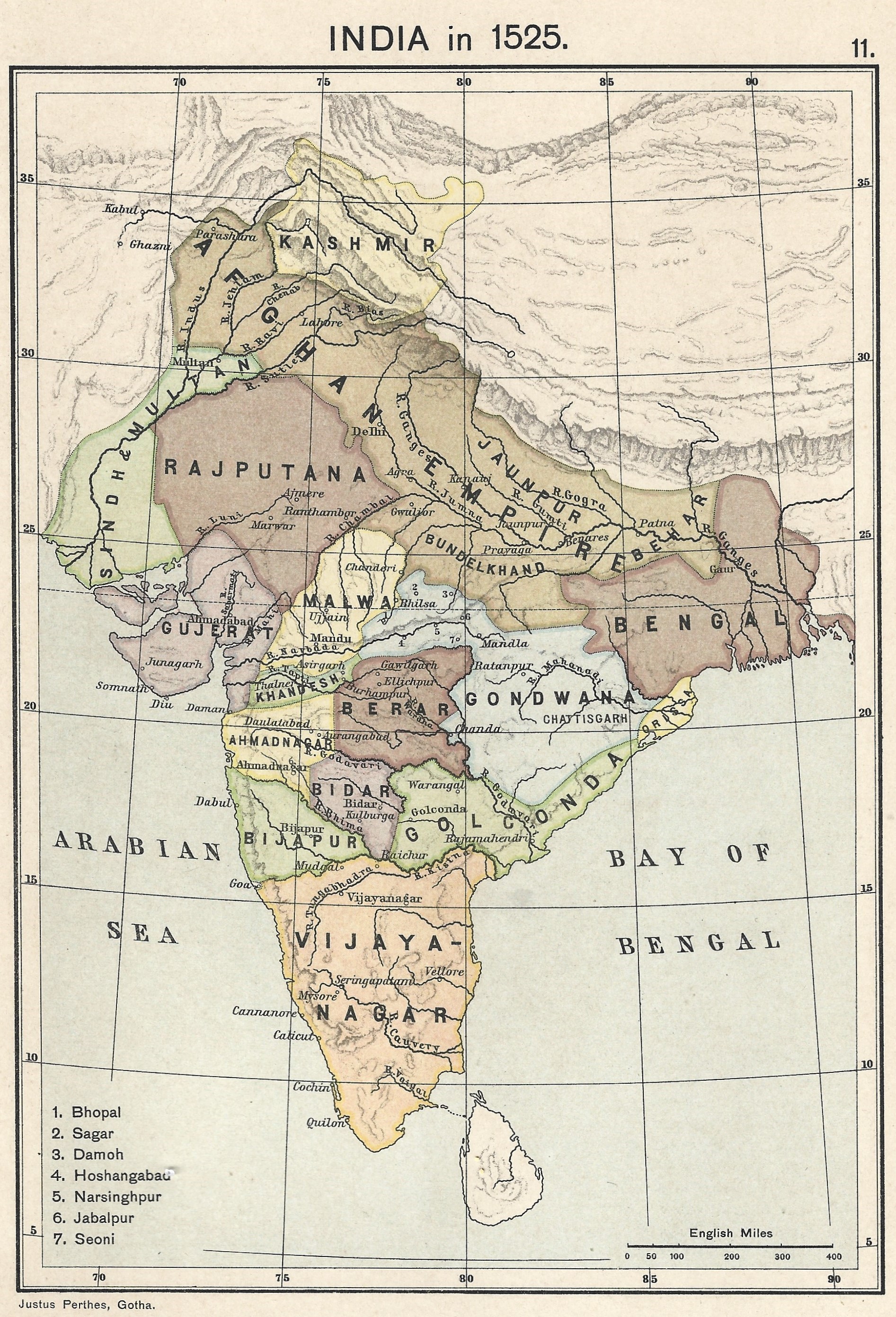
The Mughal Empire was an Early modern period, early modern empire in South Asia. At its peak, the empire stretched from the outer fringes of the Indus River Basin in the west, northern Afghanistan in the northwest, and Kashmir in the north, to the highlands of present-day Assam and Bangladesh in the east, and the uplands of the Deccan Plateau in South India.. Quote: "The realm so defined and governed was a vast territory of some , ranging from the frontier with Central Asia in northern Afghanistan to the northern uplands of the Deccan plateau, and from the Indus basin on the west to the Assamese highlands in the east." The Mughal Empire is conventionally said to have been founded in 1526 by Babur, a Tribal chief, chieftain from what is today Uzbekistan, who employed aid from the neighboring Safavid Iran, Safavid and Ottoman Empires Quote: "Babur then adroitly gave the Ottomans his promise not to attack them in return for their military aid, which he received in the form of the ... [...More Info...] [...Related Items...] OR: [Wikipedia] [Google] [Baidu] |
Khond
Khonds (also spelt Kondha and Kandha) are an indigenous Dravidian tribal community in India. Traditionally , hunter-gatherers, they are divided into the hill-dwelling Khonds and plain-dwelling Khonds for census purposes, but the Khonds themselves identify by their specific clans. Khonds usually hold large tracts of fertile land, but still practice hunting, gathering, and slash-and-burn agriculture in the forests as a symbol of their connection to, and as an assertion of their ownership of the forests wherein they dwell. Khonds speak the Kui language and write it in the Odia script. The Khonds are the largest tribal group in the state of Odisha. They are known for their rich cultural heritage, valorous martial traditions, and indigenous values, which center on harmony with nature. The Kandhamal district in Odisha has a fifty-five per cent Khond population, and is named after the tribe they revolted against the Britishers in 1846 due to the fear of being annexed. They have ... [...More Info...] [...Related Items...] OR: [Wikipedia] [Google] [Baidu] |
Mahanadi River
The Mahanadi River is a major river in East Central India. It drains an area of around and has a total length of . Mahanadi is also known for the Hirakud Dam which was the first major multipurpose river valley project after India's independence in 1947. The river flows through the states of Chhattisgarh and Odisha, before finally ending in the Bay of Bengal. Etymology The word Mahanadi is a compound of the Sanskrit words ''maha'' ("great") and ''nadi'' ("river"). Course Source and Upper Course Like many other seasonal Indian rivers, the Mahanadi too is a combination of many mountain streams and thus its precise source is impossible to pinpoint. However its farthest headwaters lie from Pharsiya village in Nagri Sihawa above sea level about 11 km, in a dense patch of forest, south of Sihawa town in Dhamtari district of Chhattisgarh. The hills here are an extension of the Eastern Ghats and are a source of many other streams which then go on to join the Mahanadi. For ... [...More Info...] [...Related Items...] OR: [Wikipedia] [Google] [Baidu] |
Baramba State
Baramba State () was one of the princely states of India during the British Raj. It had its capital in Baramba town. The last ruler acceded to the Indian Union on 1 January 1948. Baramba state was made part of Cuttack district of Odisha in 1948. History According to family and court records, Baramba State was founded in 1305 when the land comprising two villages, Sonkha and Mohuri, was granted by the then Eastern Ganga emperor Narasimha Deva II, to a wrestler Hatakeshwar Raut in recognition for his valour. The last ruler of Baramba Princely State signed the accession to the Indian Union on 1 January 1948. See also *Eastern States Agency *Political integration of India Before it gained independence in 1947, India (also called the Indian Empire) was divided into two sets of territories, one under direct British rule (British India), and the other consisting of princely states under the suzerainty of the Briti ... References Princely states of Odisha History of ... [...More Info...] [...Related Items...] OR: [Wikipedia] [Google] [Baidu] |
Hindol State
Hindol State was one of the princely states of India during the British Raj. Its former territory is now part of Dhenkanal district. The state's former capital was the town of Hindol, Odisha. Until 1947, it was not part of British India but was subject to the suzerainty of the British crown, under the Orissa States Agency. History The Hindol state was founded in 1554 with the overthrow of two ruling brothers, Chandradeva Jenamani and Udhavadeva Jenamani, belonging to the family of the Badakhemundi Raja of Ganjam, which was a branch of the Paralakhemundi line of the Eastern Ganga dynasty. After the East India Company occupied Orissa in September–October 1803 treaties were signed with estates of the region, including Hindol. After the independence of India in 1947, Hindol merged into the Republic of India on 1 January 1948. Thereafter in 1948, once all the princely states including Dhenkanal, Talcher, Athmallik, Pal Lahara and Hindol formally merged with the province ... [...More Info...] [...Related Items...] OR: [Wikipedia] [Google] [Baidu] |


