|
Nanwalek, AK
Nanwalek (‘place by lagoon’; russian: Нануалек), formerly Alexandrovsk (russian: Александровск) and later English Bay, is a census-designated place (CDP) in the Kenai Peninsula Borough, Alaska, United States, that contains a traditional Alutiiq village. The population was 254 at the 2010 census, up from 177 in 2000. There is one school located in the community, attended by 76 students. Subsistence activities are a large part of the culture for indigenous people, and Nanwalek is no exception, especially when it comes to salmon and seal harvesting. The sale of alcohol is banned in the village, although importing and possession are allowed. Geography Nanwalek and Port Graham are located near the southern tip of the Kenai Peninsula and are separated by less than . Both villages are accessible only by air or water (they lie southwest of Homer). The Alaska Marine Highway System provides service to nearby Seldovia (located only up the coast line). A state-owned ... [...More Info...] [...Related Items...] OR: [Wikipedia] [Google] [Baidu] |
Census-designated Place
A census-designated place (CDP) is a concentration of population defined by the United States Census Bureau for statistical purposes only. CDPs have been used in each decennial census since 1980 as the counterparts of incorporated places, such as self-governing cities, towns, and villages, for the purposes of gathering and correlating statistical data. CDPs are populated areas that generally include one officially designated but currently unincorporated community, for which the CDP is named, plus surrounding inhabited countryside of varying dimensions and, occasionally, other, smaller unincorporated communities as well. CDPs include small rural communities, edge cities, colonias located along the Mexico–United States border, and unincorporated resort and retirement communities and their environs. The boundaries of any CDP may change from decade to decade, and the Census Bureau may de-establish a CDP after a period of study, then re-establish it some decades later. Most unin ... [...More Info...] [...Related Items...] OR: [Wikipedia] [Google] [Baidu] |
2010 United States Census
The United States census of 2010 was the twenty-third United States national census. National Census Day, the reference day used for the census, was April 1, 2010. The census was taken via mail-in citizen self-reporting, with enumerators serving to spot-check randomly selected neighborhoods and communities. As part of a drive to increase the count's accuracy, 635,000 temporary enumerators were hired. The population of the United States was counted as 308,745,538, a 9.7% increase from the 2000 census. This was the first census in which all states recorded a population of over half a million people as well as the first in which all 100 largest cities recorded populations of over 200,000. Introduction As required by the United States Constitution, the U.S. census has been conducted every 10 years since 1790. The 2000 U.S. census was the previous census completed. Participation in the U.S. census is required by law of persons living in the United States in Title 13 of the United ... [...More Info...] [...Related Items...] OR: [Wikipedia] [Google] [Baidu] |
Anchorage
Anchorage () is the largest city in the U.S. state of Alaska by population. With a population of 291,247 in 2020, it contains nearly 40% of the state's population. The Anchorage metropolitan area, which includes Anchorage and the neighboring Matanuska-Susitna Borough, had a population of 398,328 in 2020, accounting for more than half the state's population. At of land area, the city is the fourth-largest by area in the United States and larger than the smallest state, Rhode Island, which has . Anchorage is in Southcentral Alaska, at the terminus of the Cook Inlet, on a peninsula formed by the Knik Arm to the north and the Turnagain Arm to the south. In September 1975, the City of Anchorage merged with the Greater Anchorage Area Borough, creating the Municipality of Anchorage. The municipal city limits span , encompassing the urban core, a joint military base, several outlying communities, and almost all of Chugach State Park. Because of this, less than 10% of the Municipalit ... [...More Info...] [...Related Items...] OR: [Wikipedia] [Google] [Baidu] |
Mount Redoubt
Redoubt Volcano, or Mount Redoubt (Denaʼina language, Dena'ina: ''Bentuggezh K’enulgheli''), is an active volcano, active stratovolcano in the largely volcanic Aleutian Range of the U.S. state of Alaska. Located at the head of the Chigmit Mountains subrange in Lake Clark National Park and Preserve, the mountain is just west of Cook Inlet, in the Kenai Peninsula Borough, Alaska, Kenai Peninsula Borough about 110 miles (180 km) southwest of Anchorage, Alaska, Anchorage. At 10,197 feet (3,108 m), in just over 5 miles (8 km) Mount Redoubt attains 9,150 feet (2,700 m) of prominence over its surrounding terrain. It is the highest summit in the Aleutian Range. In 1976, Redoubt Volcano was designated as a National Natural Landmark by the National Park Service. Active for millennia, Mount Redoubt has erupted four times since it was first observed: in 1902, 1966, 1989 and 2009, with two questionable eruptions in 1881 and 1933. The eruption in 1989 spewed volcanic ... [...More Info...] [...Related Items...] OR: [Wikipedia] [Google] [Baidu] |
Mount Iliamna
Iliamna Volcano, or Mount Iliamna ( Dena'ina: ''Ch’naqał’in''; Sugpiaq: ''Puyulek''), is a glacier-covered stratovolcano in the largely volcanic Aleutian Range in southwest Alaska. Located in the Chigmit Mountain subrange in Lake Clark National Park and Preserve, the volcano lies approximately southwest of Anchorage on the west side of lower Cook Inlet. It is the 25th most prominent peak in the United States.Alaska Volcano Observatory, Volcano Information - Iliamna Retrieved Dec. 16, 2022.  The volcano's glaciers have extensively altered its profile, c ...
[...More Info...] [...Related Items...] OR: [Wikipedia] [Google] [Baidu] |
Cook Inlet
Cook Inlet ( tfn, Tikahtnu; Sugpiaq: ''Cungaaciq'') stretches from the Gulf of Alaska to Anchorage in south-central Alaska. Cook Inlet branches into the Knik Arm and Turnagain Arm at its northern end, almost surrounding Anchorage. On its southern end, it merges with Shelikof Strait, Stevenson Entrance, Kennedy Entrance and Chugach Passage. The Cook Inlet watershed is the most populated watershed in Alaska. The watershed covers about of southern Alaska, east of the Aleutian Range, south and east of the Alaska Range, receiving water from its tributaries, the Knik River, the Little Susitna River, and the Susitna and Matanuska rivers. The watershed includes the drainage areas of Denali (formerly named Mount McKinley). Within the watershed there are several national parks and the active volcano Mount Redoubt, along with three other historically active volcanoes. Cook Inlet provides navigable access to the port of Anchorage at the northern end, and to the smaller Homer port fu ... [...More Info...] [...Related Items...] OR: [Wikipedia] [Google] [Baidu] |
Seldovia, Alaska
Seldovia (Alutiiq: ; Dena'ina: ''Angidahtnu''; russian: Селдовия) is a city in Kenai Peninsula Borough, Alaska, United States. Its population was 255 at the 2010 census, down from 286 in 2000. It is located along Kachemak Bay southwest of Homer. There is no road system connecting the town to other communities, so all travel to Seldovia is by airplane or boat. The Alaska Native people of Seldovia make up approximately one quarter of the population and have ancestors of Aleut and Alutiiq (Sugpiaq) descent, as well as some Dena'ina. History The native residents are mixed Dena'ina Athabaskan Indian and Alutiiq (Sugpiaq) Eskimo. In 1787 or 1788 a Russian fur trade post named Aleksandrovskaia was established at today's Seldovia by hunting parties under Evstratii Ivanovich Delarov, of the Shelikhov-Golikov company, precursor of the Russian-American Company. Although there has been little definitive archeological evidence of human habitation at Seldovia prior to t ... [...More Info...] [...Related Items...] OR: [Wikipedia] [Google] [Baidu] |
Alaska Marine Highway System
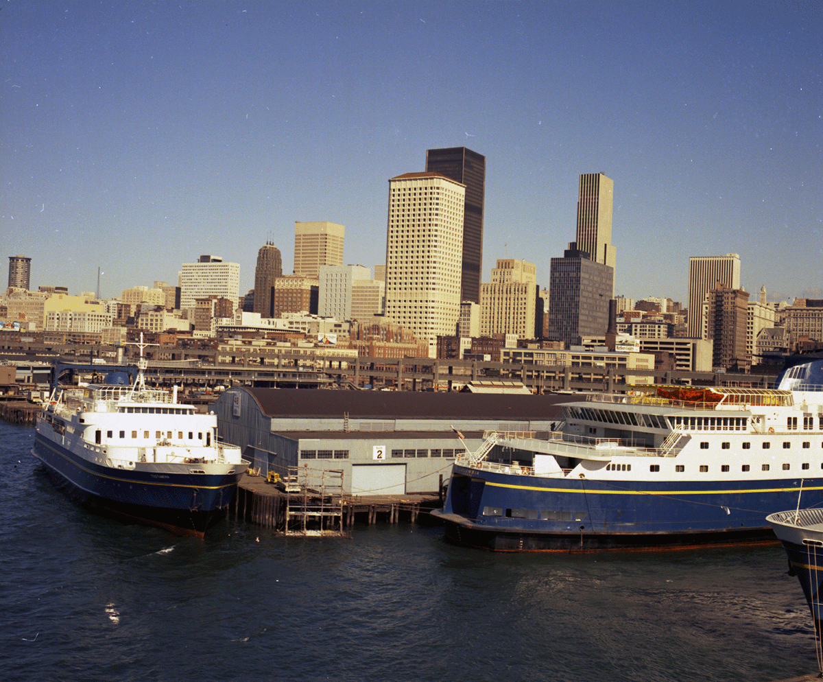
The Alaska Marine Highway (AMH) or the Alaska Marine Highway System (AMHS) is a ferry service operated by the U.S. state of Alaska. It has its headquarters in Ketchikan, Alaska. The Alaska Marine Highway System operates along the south-central coast of the state, the eastern Aleutian Islands and the Inside Passage of Alaska and British Columbia, Canada. Ferries serve communities in Southeast Alaska that have no road access, and the vessels can transport people, freight, and vehicles. AMHS's of routes go as far south as Bellingham, Washington, in the contiguous United States and as far west as Unalaska/Dutch Harbor, with a total of 32 terminals throughout Alaska, British Columbia, and Washington. It is part of the National Highway System and receives federal highway funding. It is also the only method of transportation of vehicles between the state and the contiguous United States, not requiring international customs and immigration. The Alaska Marine Highway System is a rare ... [...More Info...] [...Related Items...] OR: [Wikipedia] [Google] [Baidu] |
Homer, Alaska
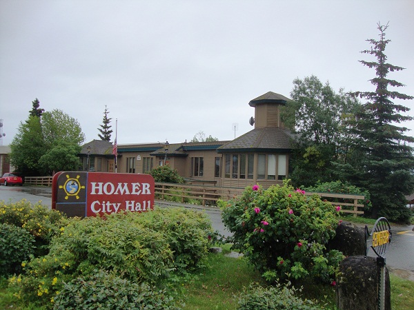
Homer ( Dena'ina: ''Tuggeght'') is a city in Kenai Peninsula Borough in the U.S. state of Alaska. It is southwest of Anchorage. According to the 2020 Census, the population is 5,522, up from 5,003 in 2010. Long known as the "Halibut Fishing Capital of the World", Homer is also nicknamed "the end of the road", and more recently, "the cosmic hamlet by the sea". Geography Homer is located at 59°38'35" North, 151°31'33" West (59.643059, −151.525900). The only road into Homer is the Sterling Highway. Homer is on the shore of Kachemak Bay on the southwest side of the Kenai Peninsula. Its distinguishing feature is the Homer Spit, a narrow long gravel bar that extends into the bay, on which is located the Homer Harbor. Much of the coastline, as well as the Homer Spit, sank dramatically during the Good Friday earthquake in March 1964. After the earthquake, very little vegetation was able to survive on the Homer Spit. The town has a total area of , of which are land and ar ... [...More Info...] [...Related Items...] OR: [Wikipedia] [Google] [Baidu] |
Kenai Peninsula
The Kenai Peninsula ( Dena'ina: ''Yaghenen'') is a large peninsula jutting from the coast of Southcentral Alaska. The name Kenai (, ) is derived from the word "Kenaitze" or "Kenaitze Indian Tribe", the name of the Native Athabascan Alaskan tribe, the Kahtnuht’ana Dena’ina ("People along the Kahtnu (Kenai River)"), who historically inhabited the area. They called the Kenai Peninsula ''Yaghanen'' ("the good land"). Geography The peninsula extends about southwest from the Chugach Mountains, south of Anchorage. It is separated from the mainland on the west by Cook Inlet and on the east by Prince William Sound. Most of the peninsula is part of the Kenai Peninsula Borough. Athabaskan and Alutiiq Native groups lived on the peninsula for thousands of years prior to Gerasim Izmailov becoming the first European to explore and map the area in 1789. The glacier-covered Kenai Mountains, rising , run along the southeast spine of the peninsula along the coast of the Gulf of Alaska. Much ... [...More Info...] [...Related Items...] OR: [Wikipedia] [Google] [Baidu] |
Port Graham, Alaska
Port Graham, also known as Paluwik (pah-LU-wig) in the Alutiiq language, is a census-designated place (CDP) in Kenai Peninsula Borough, Alaska, United States. At the 2020 census, the population was 162. Geography Port Graham and Nanwalek are located near the southern tip of the Kenai Peninsula and are separated by less than . Although they have local roads, there is no road access into this area. All vehicles must be brought in by barge or ferry. Both villages are accessible by air or water. They lie southwest of Homer and about by air from Seldovia. The Alaska Marine Highway System provides ferry service to all of Kachemak Bay, the water body separating Port Graham, Nanwalek and Seldovia from Homer. Port Graham is located at (59.347736, -151.833420). According to the United States Census Bureau, the CDP has a total area of , all of it recorded as land. Demographics Port Graham first appeared on the 1920 U.S. Census as an unincorporated village. It did not appear on the 193 ... [...More Info...] [...Related Items...] OR: [Wikipedia] [Google] [Baidu] |
Pinniped
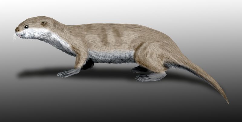
Pinnipeds (pronounced ), commonly known as seals, are a widely distributed and diverse clade of carnivorous, fin-footed, semiaquatic, mostly marine mammals. They comprise the extant families Odobenidae (whose only living member is the walrus), Otariidae (the eared seals: sea lions and fur seals), and Phocidae (the earless seals, or true seals). There are 34 extant species of pinnipeds, and more than 50 extinct species have been described from fossils. While seals were historically thought to have descended from two ancestral lines, molecular evidence supports them as a monophyletic lineage (descended from one ancestral line). Pinnipeds belong to the order Carnivora; their closest living relatives are musteloids (weasels, raccoons, skunks, and red pandas), having diverged about 50 million years ago. Seals range in size from the and Baikal seal to the and southern elephant seal male, which is also the largest member of the order Carnivora. Several species exh ... [...More Info...] [...Related Items...] OR: [Wikipedia] [Google] [Baidu] |


