|
Nakatado District, Kagawa
is a district located in Kagawa Prefecture, Japan. Due to the district government enforcement in 1899, the district was formed when the Naka and Tado Districts merged. The district contains 3 towns: Kotohira (琴平町), Tadotsu (多度津町), Mannō (まんのう町). Timeline *March 16, 1899 - Naka and Tado Districts merged to form Nakatado District. (3 towns, 27 villages) *April 1, 1899 - The town of Marugame gained city status to become the city of Marugame. (2 towns, 27 villages) *November 3, 1901 - The villages of Zentsūji, Amino, and Yoshida merged to form the town of Zentsūji. (3 towns, 24 villages) *June 1, 1917 - The village of Rokugō merged into the city of Marugame. (3 towns, 23 villages) *May 10, 1942 - The village of Toyohara merged into the town of Tadotsu. (3 towns, 22 villages) *April 1, 1951 - The village of Minami merged into the city of Marugame. (3 towns, 21 villages) *April 1, 1953 - The village of Yoshima merged into the city of Sakaide. ... [...More Info...] [...Related Items...] OR: [Wikipedia] [Google] [Baidu] |
Chūnan, Kagawa
was a town located in Nakatado District, Kagawa Prefecture, Japan. As of 2003, the town had an estimated population of 4,681 and a density Density (volumetric mass density or specific mass) is the substance's mass per unit of volume. The symbol most often used for density is ''ρ'' (the lower case Greek letter rho), although the Latin letter ''D'' can also be used. Mathematicall ... of 80.51 persons per km². The total area was 58.14 km². On March 20, 2006, Chūnan, along with the town of Kotonami (also from Nakatado District), was merged into the expanded town of Mannō. External linksOfficial websitein Japanese Dissolved municipalities of Kagawa Prefecture Mannō, Kagawa {{Kagawa-geo-stub ... [...More Info...] [...Related Items...] OR: [Wikipedia] [Google] [Baidu] |
Zentsūji, Kagawa
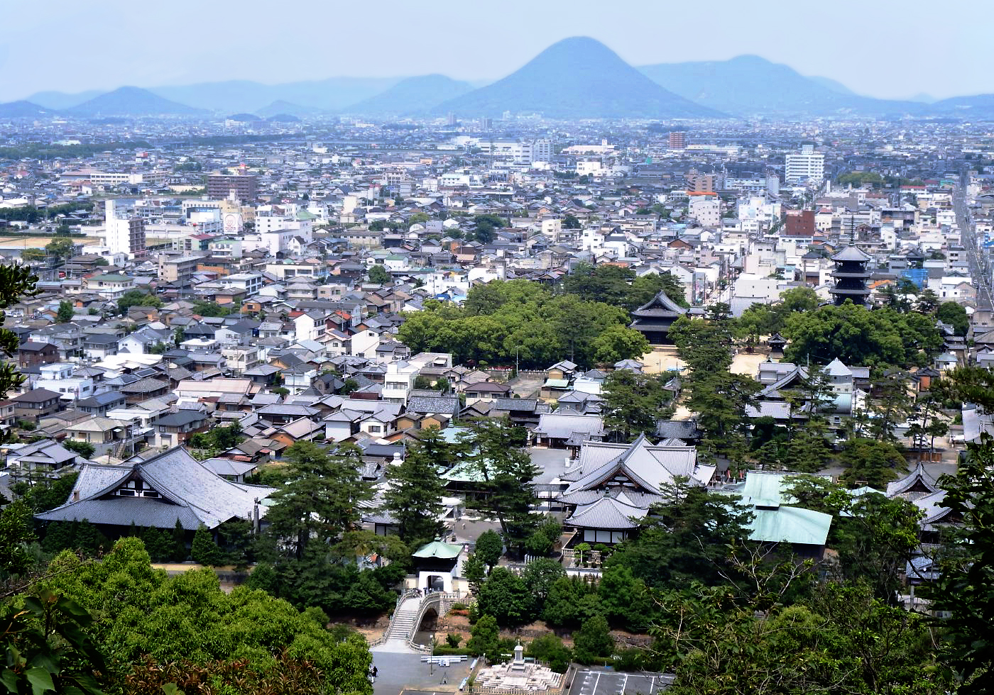
270px, Zentsūji City Hall 270px, Aerial photograph of central Zentsūji is a city located in Kagawa Prefecture, Japan. , the city had an estimated population of 30,780 in 13096 households and a population density of 770 persons per km². The total area of the city is . Geography Zentsūji is located in northwestern Kagawa Prefecture. It is the only city in Kagawa Prefecture that does not face the sea Neighbouring municipalities Kagawa Prefecture *Marugame * Mitoyo * Kotohira * Tadotsu * Mannō Climate Zentsūji has a Humid subtropical climate (Köppen ''Cfa'') characterized by warm summers and cool winters with light snowfall. The average annual temperature in Zentsūji is 15.1 °C. The average annual rainfall is 1439 mm with September as the wettest month. The temperatures are highest on average in January, at around 26.2 °C, and lowest in January, at around 4.7 °C. Demographics Per Japanese census data, the population of Zentsūji has been r ... [...More Info...] [...Related Items...] OR: [Wikipedia] [Google] [Baidu] |
