|
Māori Mythology
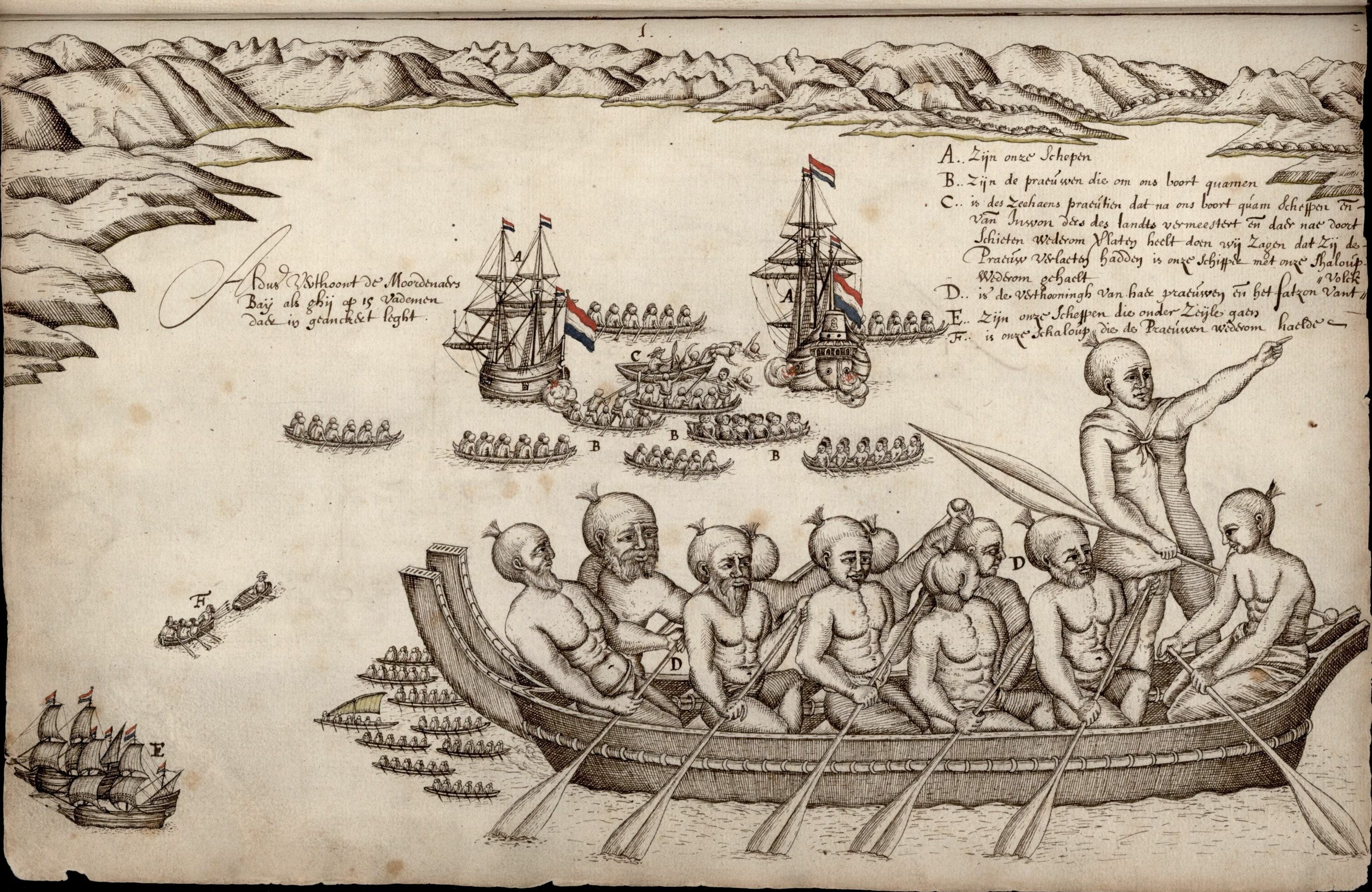
Māori mythology and Māori traditions are two major categories into which the remote oral history of New Zealand's Māori may be divided. Māori myths concern fantastic tales relating to the origins of what was the observable world for the pre-European Māori, often involving gods and demigods. Māori tradition concerns more folkloric legends often involving historical or semi-historical forebears. Both categories merge in to explain the overall origin of the Māori and their connections to the world which they lived in. Māori had yet to invent a writing system before European contact, beginning in 1769, so they had no method to permanently record their histories, traditions, or mythologies. They relied on oral retellings memorised from generation to generation. The three forms of expression prominent in Māori and Polynesian oral literature are genealogical recital, poetry, and narrative prose. Experts in these subjects were broadly known as . The rituals, beliefs, and ge ... [...More Info...] [...Related Items...] OR: [Wikipedia] [Google] [Baidu] |
Missionaries
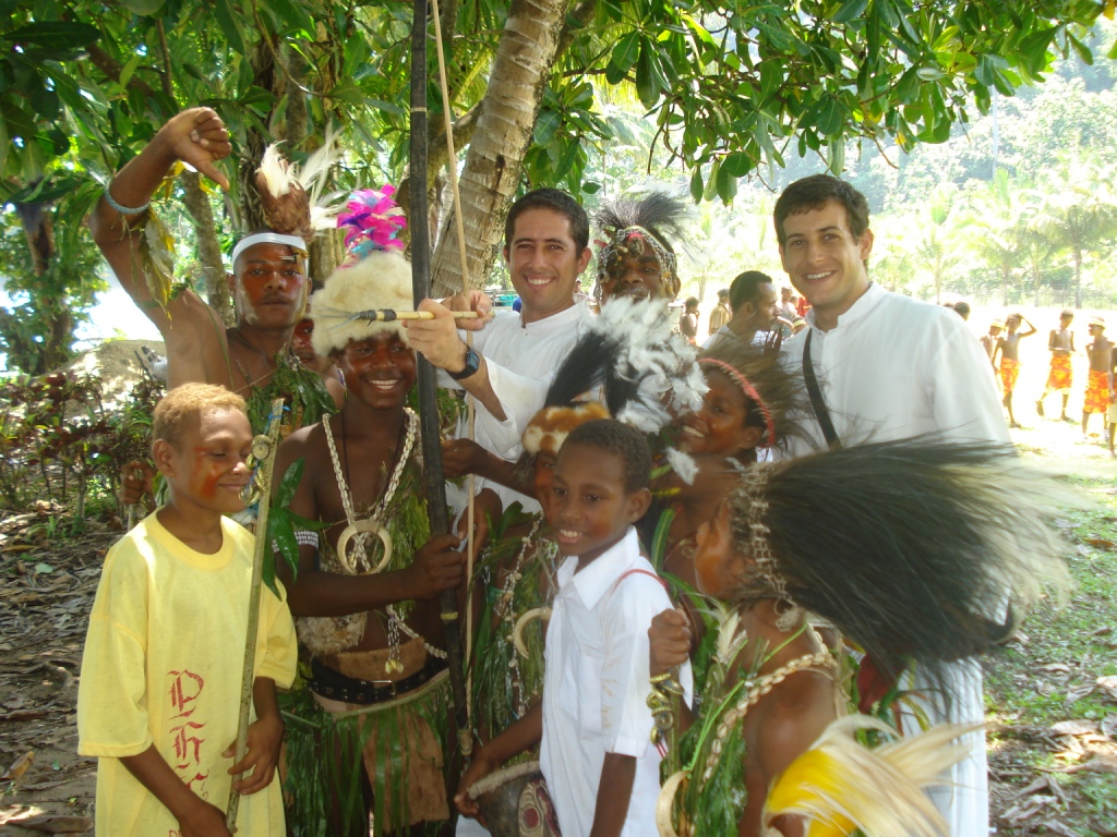
A missionary is a member of a religious group which is sent into an area in order to promote its faith or provide services to people, such as education, literacy, social justice, health care, and economic development.Thomas Hale 'On Being a Missionary' 2003, William Carey Library Pub, . In the Latin translation of the Bible, Jesus Christ says the word when he sends the disciples into areas and commands them to preach the gospel in his name. The term is most commonly used in reference to Christian missions, but it can also be used in reference to any creed or ideology. The word ''mission'' originated in 1598 when Jesuits, the members of the Society of Jesus sent members abroad, derived from the Latin ( nom. ), meaning 'act of sending' or , meaning 'to send'. By religion Buddhist missions The first Buddhist missionaries were called "Dharma Bhanaks", and some see a missionary charge in the symbolism behind the Buddhist wheel, which is said to travel all over the earth bri ... [...More Info...] [...Related Items...] OR: [Wikipedia] [Google] [Baidu] |
Ngāti Rangiwewehi
Ngāti Rangiwewehi is an iwi of the Te Arawa confederation of tribes. A Ngāti Rangiwewehi kapa haka group was founded in 1968 and has published their own songs and participated in various music festivals such as Te Matatini. The tribe is a two-time contest winners. They won their first contest in 1983 and their last one was in 1996. Te Arawa FM is the radio station of Te Arawa iwi. It was established in the early 1980s and became a charitable entity in November 1990. The station underwent a major transformation in 1993, becoming Whanau FM. One of the station's frequencies was taken over by Mai FM Mai FM is New Zealand's largest urban contemporary radio network, promoting Māori language and culture and broadcasting hip hop and rhythm and blues. It is located in Auckland, and is available in ten markets around the country. The network targ ... in 1998; the other became Pumanawa FM before later reverting to Te Arawa FM. It is available on in Rotorua. References ... [...More Info...] [...Related Items...] OR: [Wikipedia] [Google] [Baidu] |
John White (ethnographer)
John White (3 January 1826 – 13 January 1891) was an English public servant and ethnographer in New Zealand, known for his work on the history and traditions of the Māori people. Life Son of Francis White, he was born in England, and went out to New Zealand with his father in 1832, settling first at Kororāreka. His uncle, William White, was a Wesleyan missionary in nearby Hokianga and may have encouraged their emigration to New Zealand. Kororāreka was sacked by the Māori forces at the beginning of the Flagstaff War in 1845, and the White family moved to Auckland. White was employed by the government in positions where he came much into contact with the Māori people. Subsequently, he was gold commissioner at Coromandel Coromandel may refer to: Places India *Coromandel Coast, India **Presidency of Coromandel and Bengal Settlements ** Dutch Coromandel *Coromandel, KGF, Karnataka, India New Zealand *Coromandel, New Zealand, a town on the Coromandel Peninsula *Coro ..., an ... [...More Info...] [...Related Items...] OR: [Wikipedia] [Google] [Baidu] |
Pacific
The Pacific Ocean is the largest and deepest of Earth's five oceanic divisions. It extends from the Arctic Ocean in the north to the Southern Ocean (or, depending on definition, to Antarctica) in the south, and is bounded by the continents of Asia and Oceania in the west and the Americas in the east. At in area (as defined with a southern Antarctic border), this largest division of the World Ocean—and, in turn, the hydrosphere—covers about 46% of Earth's water surface and about 32% of its total surface area, larger than Earth's entire land area combined .Pacific Ocean . '' Britannica Concise.'' 2008: Encyclopædia Britannica, Inc. The centers of both the |
Sir George Grey
Sir George Grey, KCB (14 April 1812 – 19 September 1898) was a British soldier, explorer, colonial administrator and writer. He served in a succession of governing positions: Governor of South Australia, twice Governor of New Zealand, Governor of Cape Colony, and the 11th premier of New Zealand. He played a key role in the colonisation of New Zealand, and both the purchase and annexation of Māori land. Grey was born in Lisbon, Portugal, just a few days after his father, Lieutenant-Colonel George Grey was killed at the Battle of Badajoz in Spain. He was educated in England. After military service (1829–37) and two explorations in Western Australia (1837–39), Grey became Governor of South Australia in 1841. He oversaw the colony during a difficult formative period. Despite being less hands-on than his predecessor George Gawler, his fiscally responsible measures ensured the colony was in good shape by the time he departed for New Zealand in 1845.G. H. Pitt, "The Crisi ... [...More Info...] [...Related Items...] OR: [Wikipedia] [Google] [Baidu] |
Edward Shortland
Edward Shortland (1812–1893) was a New Zealand doctor, administrator, scholar and linguist. Life Shortland was born at Courtlands near Lympstone in Devon, England, the third son of Thomas George Shortland and brother of Willoughby and Peter Frederick Shortland. He was educated at Exeter grammar school and at Pembroke College, Cambridge, where he graduated B.A. in 1835 and M.A. in 1839. He then studied medicine, and was admitted an extra-licentiate of the Royal College of Physicians in 1839. In 1841 Shortland went out, apparently at his brother's suggestion, to New Zealand, where on 28 June 1841 he was appointed private secretary to Governor William Hobson. On 3 August 1842 he was appointed protector of aborigines. On 10 August 1843 he landed at Akaroa on Banks' Peninsula, to act as interpreter to Colonel Godfrey's court of inquiry into the land claims of the French company, the Nanto-Bordelaise Co. of Jean Langlois, which was then trying to settle there. After the court c ... [...More Info...] [...Related Items...] OR: [Wikipedia] [Google] [Baidu] |
Hawke's Bay Region
Hawke's Bay ( mi, Te Matau-a-Māui) is a local government region on the east coast of New Zealand's North Island. The region's name derives from Hawke Bay, which was named by Captain James Cook in honour of Admiral Edward Hawke. The region is governed by Hawke's Bay Regional Council. Geography The region is situated on the east coast of the North Island. It bears the former name of what is now Hawke Bay, a large semi-circular bay that extends for 100 kilometres from northeast to southwest from Māhia Peninsula to Cape Kidnappers. The Hawke's Bay Region includes the hilly coastal land around the northern and central bay, the floodplains of the Wairoa River in the north, the wide fertile Heretaunga Plains around Hastings in the south, and a hilly interior stretching up into the Kaweka and Ruahine Ranges. The prominent peak Taraponui is located inland. Five major rivers flow to the Hawke's Bay coast. From north to south, they are the Wairoa River, Mohaka River, Tutaekuri ... [...More Info...] [...Related Items...] OR: [Wikipedia] [Google] [Baidu] |
Bay Of Islands
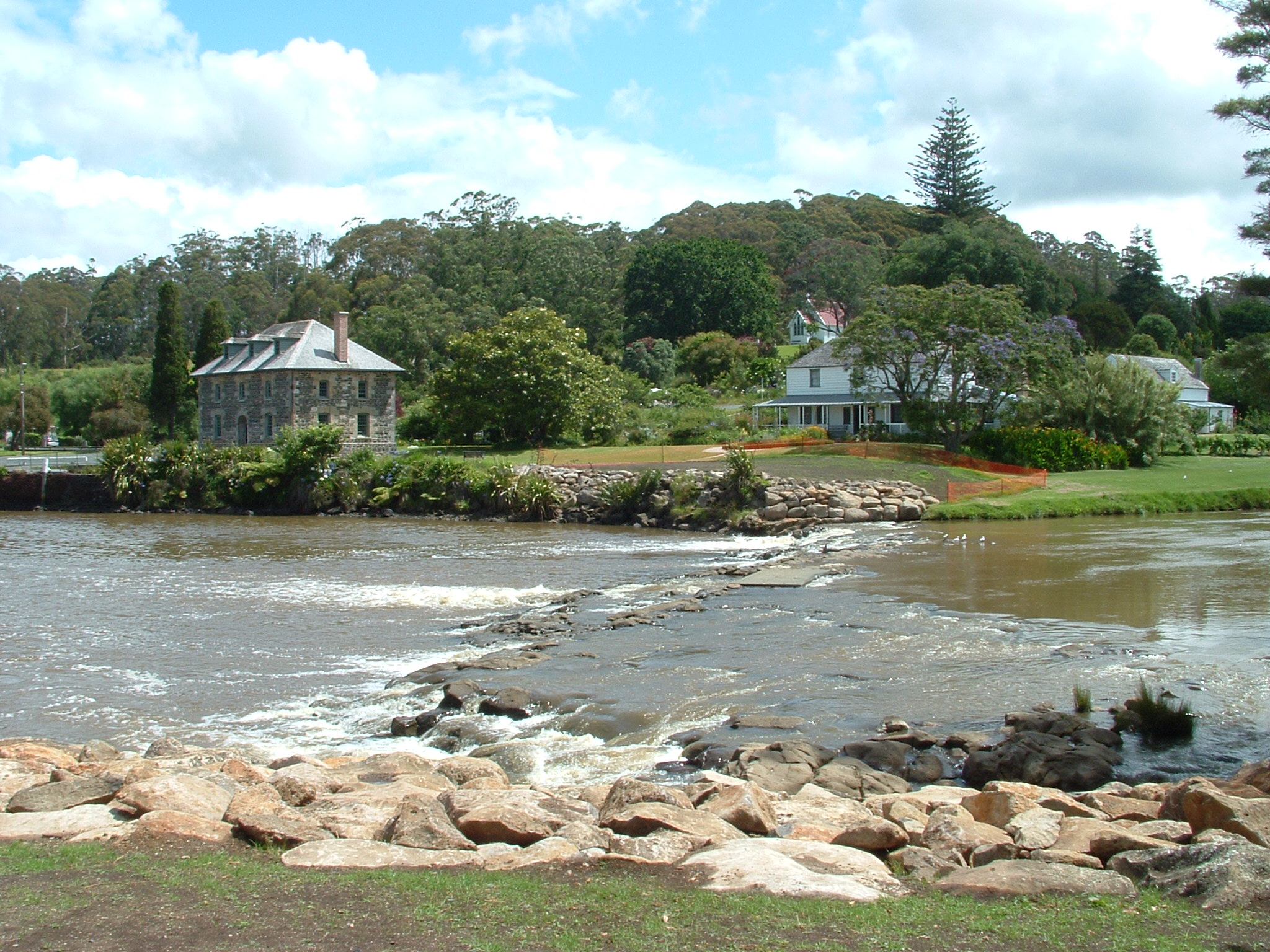
The Bay of Islands is an area on the east coast of the Far North District of the North Island of New Zealand. It is one of the most popular fishing, sailing and tourist destinations in the country, and has been renowned internationally for its big-game fishing since American author Zane Grey publicised it in the 1930s. It is north-west of the city of Whangarei. Cape Reinga, at the northern tip of the country, is about by road further to the north-west. Geography The bay itself is an irregularly-shaped -wide, drowned valley system and a natural harbour. It contains 144 islands, of which the largest is Urupukapuka, and numerous peninsulas and inlets. The three largest inlets are Waikare Inlet in the south, and Kerikeri and Te Puna (Mangonui) inlets in the north-west. The Purerua Peninsula, north of Te Puna Inlet, separates the north-western part of the bay from the Pacific Ocean, and Cape Brett Peninsula extends into the ocean at the eastern end of the bay. The biggest t ... [...More Info...] [...Related Items...] OR: [Wikipedia] [Google] [Baidu] |
William Colenso
William Colenso (17 November 1811 – 10 February 1899) FRS was a Cornish Christian missionary to New Zealand, and also a printer, botanist, explorer and politician. He attended the signing of the Treaty of Waitangi and later wrote an account of the events at Waitangi. Life Born in Penzance, Cornwall, he was the cousin of John William Colenso, bishop of Natal. His surname is locative and it originates from the place name Colenso in the parish of St Hilary, near Penzance in west Cornwall, it is a Cornish language (Celtic) name, from the Cornish "Kelyn dhu" meaning "dark hollies". He trained as a printer's apprentice then travelled to New Zealand in 1834 to work for the Church Missionary Society as a printer/missionary. He was responsible for the printing of the Māori language translation of the New Testament in 1837. It was the first book printed in New Zealand and the first indigenous language translation of the Bible published in the southern hemisphere. pp 110 By Jul ... [...More Info...] [...Related Items...] OR: [Wikipedia] [Google] [Baidu] |
Wanganui River
The Wanganui River is in the West Coast of the South Island of New Zealand. It flows northwest for from its headwaters in the Southern Alps, entering the Tasman Sea near Lake Ianthe, southwest of Hokitika Hokitika is a town in the West Coast region of New Zealand's South Island, south of Greymouth, and close to the mouth of the Hokitika River. It is the seat and largest town in the Westland District. The town's estimated population is as of .... After heavy rain in January 2013 the flooded river partially washed away the single-lane road bridge that carries , closing the only through road on the West Coast. Gravel buildup has gradually raised the riverbed, and in 2021 the West Coast Regional Council planned to elevate stopbanks by 1 m at a cost of $5.7 million to protect neighbouring farmland from flooding. Farmers protested the rates rise that would be needed to pay back this 30-year loan, and suggested the Department of Conservation should contribute. Ref ... [...More Info...] [...Related Items...] OR: [Wikipedia] [Google] [Baidu] |
Taranaki
Taranaki is a region in the west of New Zealand's North Island. It is named after its main geographical feature, the stratovolcano of Mount Taranaki, also known as Mount Egmont. The main centre is the city of New Plymouth. The New Plymouth District is home to more than 65 per cent of the population of Taranaki. New Plymouth is in North Taranaki along with Inglewood and Waitara. South Taranaki towns include Hāwera, Stratford, Eltham, and Ōpunake. Since 2005, Taranaki has used the promotional brand "Like no other". Geography Taranaki is on the west coast of the North Island, surrounding the volcanic peak of Mount Taranaki. The region covers an area of 7258 km2. Its large bays north-west and south-west of Cape Egmont are North Taranaki Bight and South Taranaki Bight. Mount Taranaki is the second highest mountain in the North Island, and the dominant geographical feature of the region. A Māori legend says that Mount Taranaki previously lived with the Tongariro, Ngaur ... [...More Info...] [...Related Items...] OR: [Wikipedia] [Google] [Baidu] |


.jpg)


