|
Mount Michener
Mount Michener, with a peak, is a mountain on the eastern border of the Canadian Rockies in Alberta, Canada. It forms the northerly part of the Ram Range. The mountain sits on the shore of Abraham Lake and its north, west and south face are all visible from the David Thompson Highway. The mountain was named in 1982 after Daniel Roland Michener who was the Governor General of Canada from 1967 - 1974. Its previous names were Eye Opener Mountain and Phoebe's Teat, reportedly after a woman from Rocky Mountain House who would periodically visit the Nordegg Nordegg is a hamlet in west-central Alberta, Canada within Clearwater County. It is located in the North Saskatchewan River valley in the foothills of the Canadian Rockies, just east of the intersection of the David Thompson Highway and the Hig ... miners in the 1930s. Geography The formation of the Rocky Mountains began in the Late Cretaceous Period and finished in the Early Tertiary Period. The pressure on the fault li ... [...More Info...] [...Related Items...] OR: [Wikipedia] [Google] [Baidu] |
Abraham Lake
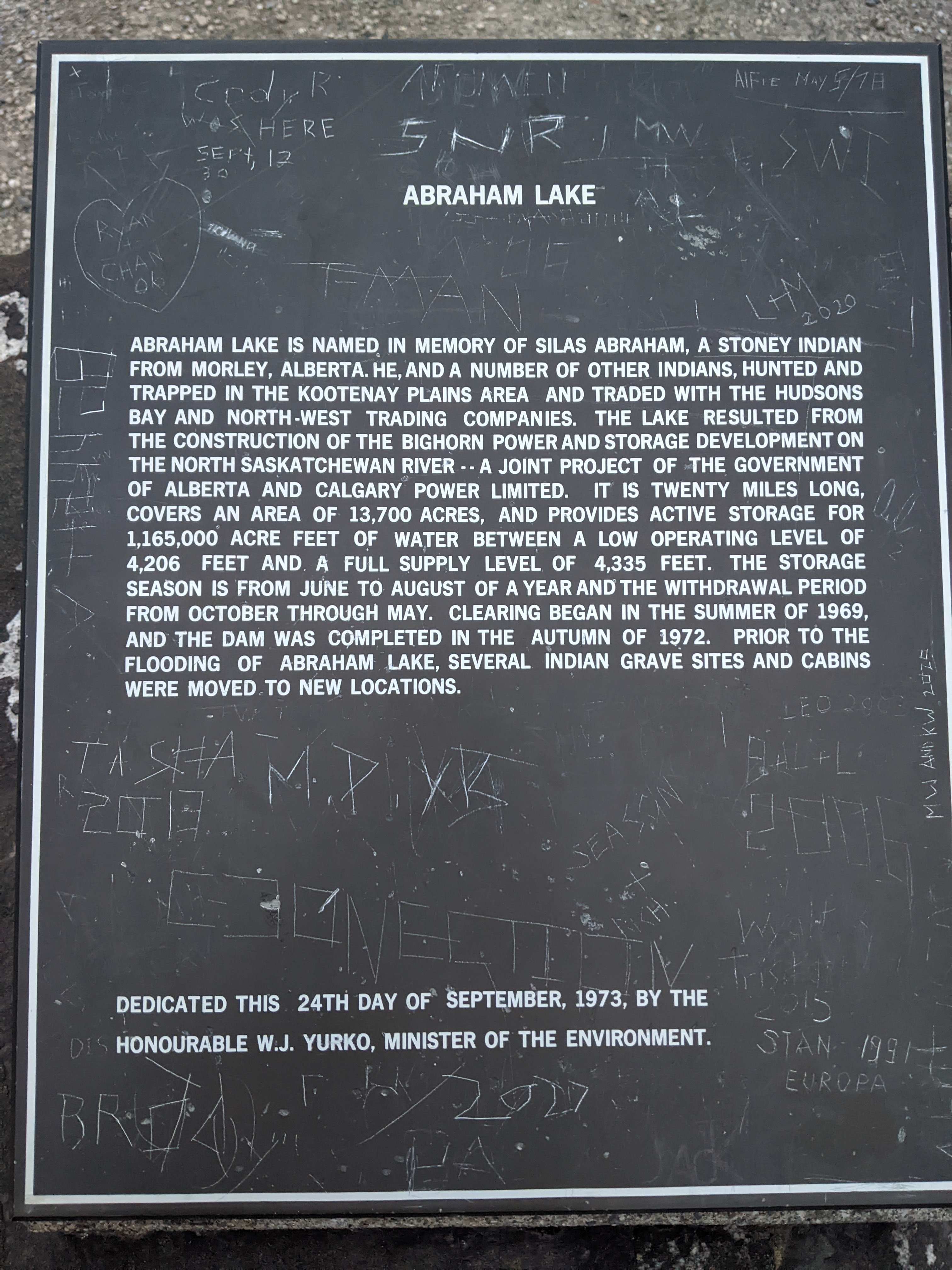
Abraham Lake, also known as Lake Abraham, is an artificial lake and Alberta's largest reservoir. It is located in the " Kootenay Plains area of the Canadian Rockies' front range", on the North Saskatchewan River in western Alberta, Canada. Description Abraham Lake has a surface area of and a length of . Although man-made, the lake has the blue color of other glacial lakes in the Rocky Mountains, which is caused by rock flour. Abraham Mountain, Elliott Peak, and the Cline River Heliport are located on the western shore of the lake. Mount Michener is situated on the eastern shore. Mount Ernest Ross lies at the southern tip of the lake. History Abraham Lake was created by the former Calgary Power Company, now TransAlta, in 1972, with the construction of the Bighorn Dam. Planning of the dam involved no evaluation of the social and environmental effects it may have caused and no public hearings were held prior to the construction. Construction of the Bighorn Dam flooded the Koote ... [...More Info...] [...Related Items...] OR: [Wikipedia] [Google] [Baidu] |
Alberta
Alberta ( ) is one of the thirteen provinces and territories of Canada. It is part of Western Canada and is one of the three prairie provinces. Alberta is bordered by British Columbia to the west, Saskatchewan to the east, the Northwest Territories (NWT) to the north, and the U.S. state of Montana to the south. It is one of the only two landlocked provinces in Canada (Saskatchewan being the other). The eastern part of the province is occupied by the Great Plains, while the western part borders the Rocky Mountains. The province has a predominantly continental climate but experiences quick temperature changes due to air aridity. Seasonal temperature swings are less pronounced in western Alberta due to occasional Chinook winds. Alberta is the fourth largest province by area at , and the fourth most populous, being home to 4,262,635 people. Alberta's capital is Edmonton, while Calgary is its largest city. The two are Alberta's largest census metropolitan areas. More tha ... [...More Info...] [...Related Items...] OR: [Wikipedia] [Google] [Baidu] |
Canada
Canada is a country in North America. Its ten provinces and three territories extend from the Atlantic Ocean to the Pacific Ocean and northward into the Arctic Ocean, covering over , making it the world's second-largest country by total area. Its southern and western border with the United States, stretching , is the world's longest binational land border. Canada's capital is Ottawa, and its three largest metropolitan areas are Toronto, Montreal, and Vancouver. Indigenous peoples have continuously inhabited what is now Canada for thousands of years. Beginning in the 16th century, British and French expeditions explored and later settled along the Atlantic coast. As a consequence of various armed conflicts, France ceded nearly all of its colonies in North America in 1763. In 1867, with the union of three British North American colonies through Confederation, Canada was formed as a federal dominion of four provinces. This began an accretion of provinces an ... [...More Info...] [...Related Items...] OR: [Wikipedia] [Google] [Baidu] |
Ram Range
The Ram Range is a mountain range of the Canadian Rockies located in David Thompson Country, Canada. The range extends southeast from Abraham Lake to the Ram River The Ram River is a river rising in the Alberta Rocky Mountains. It flows eastward, taking on the North Ram River, before joining the North Saskatchewan River near the Town of Rocky Mountain House. The name ''Ram Rivulet'' appears on a David Thom .... It is bounded on the southwest by Whiterabbit Creek. This range includes the following mountains and peaks: External links Ram Range on Bivouac.com Mountain ranges of Alberta Ranges of the Canadian Rockies ---- {{Alberta-geo-stub ... [...More Info...] [...Related Items...] OR: [Wikipedia] [Google] [Baidu] |
Kista Peak
Kista Peak is a mountain summit located in the North Saskatchewan River valley of Alberta, Canada. Kista Peak is part of the Ram Range, a sub-range of the Canadian Rockies. Its nearest higher peak is Mount Mumford, to the south. Mount Michener lies to the west, and both Kista and Michener can be seen from the David Thompson Highway. Precipitation runoff from Kista Peak drains west into Abraham Lake, or east into Kiska Creek. __NOTOC__ Geology Kista Peak is composed of sedimentary rock laid down from the Precambrian to Jurassic periods that was pushed east and over the top of younger rock during the Laramide orogeny. Climate Based on the Köppen climate classification, Kista Peak is located in a subarctic climate with cold, snowy winters, and mild summers. Temperatures can drop below -20 °C with wind chill factors below -30 °C. See also *List of mountains of Canada *Alberta's Rockies Alberta's Rockies comprise the Canadian Rocky Mountains in Alberta, Canada. O ... [...More Info...] [...Related Items...] OR: [Wikipedia] [Google] [Baidu] |
National Topographic System
The National Topographic System or NTS is the system used by Natural Resources Canada for providing general purpose topographic maps of the country. NTS maps are available in a variety of scales, the standard being 1:50,000 and 1:250,000 scales. The maps provide details on landforms and terrain, lakes and rivers, forested areas, administrative zones, populated areas, roads and railways, as well as other man-made features. These maps are currently used by all levels of government and industry for forest fire and flood control (as well as other environmental issues), depiction of crop areas, right-of-way, real estate planning, development of natural resources and highway planning. To add context, land area outside Canada is depicted on the 1:250,000 maps, but not on the 1:50,000 maps. History Topographic mapping in Canada was originally undertaken by many different agencies, with the Canadian Army’s Intelligence Branch forming a survey division to create a more standardized mappi ... [...More Info...] [...Related Items...] OR: [Wikipedia] [Google] [Baidu] |
Mountain
A mountain is an elevated portion of the Earth's crust, generally with steep sides that show significant exposed bedrock. Although definitions vary, a mountain may differ from a plateau in having a limited Summit (topography), summit area, and is usually higher than a hill, typically rising at least 300 metres (1,000 feet) above the surrounding land. A few mountains are Monadnock, isolated summits, but most occur in mountain ranges. Mountain formation, Mountains are formed through Tectonic plate, tectonic forces, erosion, or volcanism, which act on time scales of up to tens of millions of years. Once mountain building ceases, mountains are slowly leveled through the action of weathering, through Slump (geology), slumping and other forms of mass wasting, as well as through erosion by rivers and glaciers. High elevations on mountains produce Alpine climate, colder climates than at sea level at similar latitude. These colder climates strongly affect the Montane ecosystems, ecosys ... [...More Info...] [...Related Items...] OR: [Wikipedia] [Google] [Baidu] |
Canadian Rockies
The Canadian Rockies (french: Rocheuses canadiennes) or Canadian Rocky Mountains, comprising both the Alberta Rockies and the British Columbian Rockies, is the Canadian segment of the North American Rocky Mountains. It is the easternmost part of the Canadian Cordillera, which is the northern segment of the North American Cordillera, the expansive system of interconnected mountain ranges between the Interior Plains and the Pacific Coast that runs northwest–southeast from central Alaska to the Isthmus of Tehuantepec in Mexico. Canada officially defines the Rocky Mountains system as the mountain chains east of the Rocky Mountain Trench extending from the Liard River valley in northern British Columbia to the Albuquerque Basin in New Mexico, not including the Mackenzie, Richardson and British Mountains/Brooks Range in Yukon and Alaska (which are all included as the "Arctic Rockies" in the United States' definition of the Rocky Mountains system). The Canadian Rockies, bein ... [...More Info...] [...Related Items...] OR: [Wikipedia] [Google] [Baidu] |
Alberta Highway 11
Alberta Provincial Highway No. 11, commonly referred to as Highway 11 and officially named the David Thompson Highway, is a provincial highway in central Alberta, Canada. It runs for from Highway 93 at Saskatchewan River Crossing near Mount Sarbach in Banff National Park east to Highway 12 near Nevis. It passes by Nordegg and through Rocky Mountain House, Sylvan Lake and Red Deer along its course. The highway is named after David Thompson, a British-Canadian fur trader, surveyor, and map-maker who explored the area between Rocky Mountain House and Kootenae House (near present-day Invermere, British Columbia) through Howse Pass. Route description The majority of Highway 11 is maintained by Alberta Transportation. The segment within Banff National Park is maintained by the Government of Canada, and within Red Deer limits the city has jurisdiction and is responsible for maintenance. It begins at the Icefields Parkway (Highway 93) and travel ... [...More Info...] [...Related Items...] OR: [Wikipedia] [Google] [Baidu] |
Daniel Roland Michener
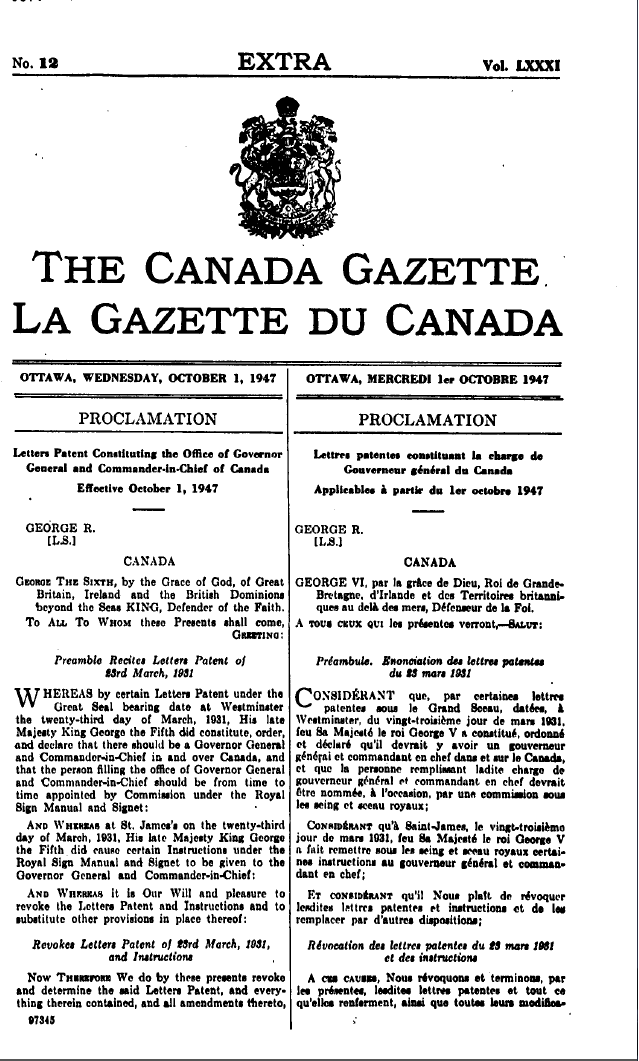
Daniel Roland Michener (April 19, 1900 – August 6, 1991) was a Canadian lawyer, politician, and diplomat who served as Governor General of Canada, the 20th since Canadian Confederation. Michener was born and educated in Alberta. In 1917 he served briefly in the Royal Air Force. He acquired a university degree, then attended the University of Oxford as a Rhodes Scholar. Michener then returned to Canada and practised law before entering politics. He was elected to the House of Commons in 1957, where he served as speaker until 1962, and then served in diplomatic postings between 1964 and 1967. After that he was appointed Governor General by Queen Elizabeth II on the recommendation of Prime Minister of Canada Lester B. Pearson, to replace Georges Vanier, and he occupied the post until succeeded by Jules Léger in 1974. Michener proved to be a populist governor general whose tenure is considered to be a key turning point in the history of his office. On October 15, 1962, Michener ... [...More Info...] [...Related Items...] OR: [Wikipedia] [Google] [Baidu] |
Governor General Of Canada
The governor general of Canada (french: gouverneure générale du Canada) is the federal viceregal representative of the . The is head of state of Canada and the 14 other Commonwealth realms, but resides in oldest and most populous realm, the United Kingdom. The , on the advice of Canadian prime minister, appoints a governor general to carry on the Government of Canada in the 's name, performing most of constitutional and ceremonial duties. The commission is for an indefinite period—known as serving ''at Majesty's pleasure''—though five years is the usual length of time. Since 1959, it has also been traditional to alternate between francophone and anglophone officeholders—although many recent governors general have been bilingual. The office began in the 17th century, when the French crown appointed governors of the colony of Canada. Following the British conquest of the colony, the British monarch appointed governors of the Province of Quebec (later the Canadas) ... [...More Info...] [...Related Items...] OR: [Wikipedia] [Google] [Baidu] |
Rocky Mountain House
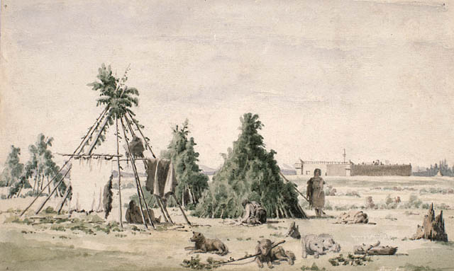
Rocky Mountain House is a town in west-central Alberta, Canada. It is approximately west of Red Deer at the confluence of the Clearwater and North Saskatchewan Rivers, and at the crossroads of Highway 22 (Cowboy Trail) and Highway 11 (David Thompson Highway). The surrounding Clearwater County's administration office is located in Rocky Mountain House. History The town has a long history dating to the 18th century with the presence of British and Canadian fur traders during the westward Canadian expansion. In 1799, the Hudson's Bay Company and the North West Company each established the Rocky Mountain House and Acton House fur trading posts. Trade with the local aboriginal peoples continued until 1821 when the companies merged, they continued to trade until 1875 and closed the Rocky Mountain House post. The name of the settlement however remained. The Rocky Mountain House settlement also served as a launching point for many explorers such as David Thompson, in search for ... [...More Info...] [...Related Items...] OR: [Wikipedia] [Google] [Baidu] |


