|
Morogoro Airstrip
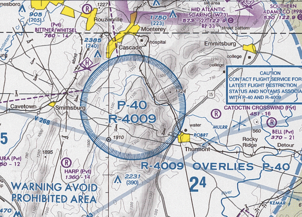
Morogoro Airstrip is an airstrip serving the city of Morogoro in the Morogoro Region of Tanzania. It is north of the town. The airstrip location is just off the western side of the prohibited airspace (HTP6) of the Ngerengere Air Force Base but lies within the restricted airspace (HTR7). Airlines and destinations See also * * *List of airports in Tanzania *Transport in Tanzania Transport in Tanzania includes road, rail, air and maritime networks. The road network is long, of which is classified as trunk road and as regional road. The rail network consists of of track. Commuter rail service is in Dar es Salaam only. ... References External linksTanzania Airports Authority * [...More Info...] [...Related Items...] OR: [Wikipedia] [Google] [Baidu] |
Uluguru Mountains
The Uluguru mountains are a mountain range in eastern Tanzania, named after the Luguru tribe. The main portion of the Uluguru mountains is a ridge running roughly north-south and rising to altitude at its highest point. On the main Uluguru range, 50 villages touch the forest boundary and over 151,000 people are found within the mountain area, often at increasing densities at higher altitudes up to the forest boundary. Geography The Ulugurus lie 200 km inland from the Indian Ocean. They are part of a chain of mountains in eastern Africa collectively called the Eastern Arc Mountains, which include the Taita Hills, Pare Mountains, Usambara Mountains, Nguru Mountains, Rubeho, Ukaguru, Udzungwa Mountains and Mahenge Mountains. Vegetation The vegetation of the Uluguru main ridge and outlying blocks is extremely variable. It ranges from drier lowland coastal forest habitats, to transitional rainforests, to sub-montane, montane and upper montane forest types. Climate Climaticall ... [...More Info...] [...Related Items...] OR: [Wikipedia] [Google] [Baidu] |
Government Of Tanzania
The politics of Tanzania takes place in a framework of a unitary presidential democratic republic, whereby the President of Tanzania is both head of state and head of government, and of a multi-party system. Executive power is exercised by the government. Legislative power is vested in both the government and parliament. The party system is dominated by the Chama Cha Mapinduzi (''Revolutionary State Party''). The Judiciary is independent of the executive and the legislature. Political conditions Full independence came in December 1961 and Julius Kambarage Nyerere (1922–1999), a socialist leader who led Tanganyika from colonial rule, was elected President in 1961. One of Africa’s most respected figures, Julius Nyerere was seen as a politician of principle and intelligence. Known as ''Mwalimu'' (teacher), he proposed a widely acclaimed vision of education. From independence in 1961 until the mid-1980s, Tanzania was a one-party state, with a socialist model of economic d ... [...More Info...] [...Related Items...] OR: [Wikipedia] [Google] [Baidu] |
Tanzania Airports Authority
Tanzania Airports Authority (TAA) was founded in 1999 by an Act of Parliament. The authority is responsible for the provision of airport services, ground support, infrastructure and construction of airports in Tanzania. The Authority operates under the purview of the Ministry of Infrastructure Development.http://www.tanzaniairports.com/new_aboutus.htm TAA main offices are located in Dar es Salaam and at Julius Nyerere International Airport. See also *List of airports in Tanzania *Tanzania Civil Aviation Authority * Ministry of Infrastructure Development, Tanzania References External linksTanzania Airport Authority Airport An airport is an aerodrome with extended facilities, mostly for commercial air transport. Airports usually consists of a landing area, which comprises an aerially accessible open space including at least one operationally active surface ... Aviation in Tanzania Airport operators Organizations established in 1999 1999 establishments in Ta ... [...More Info...] [...Related Items...] OR: [Wikipedia] [Google] [Baidu] |
Morogoro
Morogoro is a city in the eastern part of Tanzania west of Dar es Salaam. Morogoro is the capital of the Morogoro Region. It is also known informally as "Mji kasoro bahari" which translates to “city short of an ocean/port." The Belgian based non-profit, APOPO trains Gambian pouched rats known as HeroRATS for landmine detection, and detection of tuberculosis in Morogoro. Morogoro lies at the base of the Uluguru Mountains and is a centre of agriculture in the region. The Sokoine University of Agriculture is based in the city. A number of missions are also located in the city, providing schools and hospitals. Morogoro is home to the Amani Centre, which has helped over 3,400 disabled people in the surrounding villages. Water supply Eighty percent of Morogoro's water supply comes from the Mindu Dam on the Ngerengere River. The dam project, begun in 1978, has been controversial. The lake behind the dam has led to high rates of bilharzia infection, and mercury run-off from gold min ... [...More Info...] [...Related Items...] OR: [Wikipedia] [Google] [Baidu] |
Tanzania
Tanzania (; ), officially the United Republic of Tanzania ( sw, Jamhuri ya Muungano wa Tanzania), is a country in East Africa within the African Great Lakes region. It borders Uganda to the north; Kenya to the northeast; Comoro Islands and the Indian Ocean to the east; Mozambique and Malawi to the south; Zambia to the southwest; and Rwanda, Burundi, and the Democratic Republic of the Congo to the west. Mount Kilimanjaro, Africa's highest mountain, is in northeastern Tanzania. According to the United Nations, Tanzania has a population of million, making it the most populous country located entirely south of the equator. Many important hominid fossils have been found in Tanzania, such as 6-million-year-old Pliocene hominid fossils. The genus Australopithecus ranged across Africa between 4 and 2 million years ago, and the oldest remains of the genus ''Homo'' are found near Lake Olduvai. Following the rise of '' Homo erectus'' 1.8 million years ago, humanity spread ... [...More Info...] [...Related Items...] OR: [Wikipedia] [Google] [Baidu] |
Tanzania Civil Aviation Authority
The Tanzania Civil Aviation Authority (TCAA) is the government body that regulates aviation, air services and airport, airport services, and provides air navigation, air navigation services, in Tanzania. It was founded by an Act of Parliament in 2003 and operates under the purview of the Ministry of Infrastructure Development, Tanzania, Ministry of Infrastructure Development. The TCAA is responsible for the disposition of aviation safety and for the license, licensing of aviation personnel. It is also responsible for contributing to the financial oversight of Tanzania's infrastructure, air infrastructure development; the Aircraft registration, registration of aircraft; for the investigation of air accidents; for local area search and rescue; and in conjunction with the Tanzania Airports Authority, for the operation of airports and aerodromes. The head office of the TCAA is located in the Aviation House building in the Banana Ukonga Area of Dar es Salaam. Previously the head offic ... [...More Info...] [...Related Items...] OR: [Wikipedia] [Google] [Baidu] |
Morogoro Region
Morogoro Region (''Mkoa wa Morogoro'' in Swahili) is one of Tanzania's 31 administrative regions. The region covers an area of . The region is comparable in size to the combined land area of the nation state of Ireland. Morogoro Region is bordered to the north by the Manyara Region and Tanga Region, to the east by the Pwani and Lindi Regions, to the south by the Ruvuma Region and to the west by the Iringa Njombe and Dodoma Regions. The regional capital is the municipality of Morogoro. According to the 2012 national census, the region had a population of 2,218,492. Geography The area is found in the Mid-Eastern portion of mainland Tanzania and is situated between latitudes 5° 58' and 10' south of the equator and between longitudes 35° 25' and 38° 30' east greenwich. 4,623,005 acres, or 4.9% of the area of Tanzania's Mainland, is the size of the Morogoro region (94,278,400 ha). The majority of the total land area, 1,772,597 ha (38.3%), is made up of arable land used for cro ... [...More Info...] [...Related Items...] OR: [Wikipedia] [Google] [Baidu] |
Prohibited Airspace
A prohibited airspace is an area (volume) of airspace within which flight of aircraft is not allowed, usually due to security concerns. It is one of many types of special use airspace designations and is depicted on aeronautical charts with the letter "P" followed by a serial number. It differs from restricted airspace Restricted airspace is an area of airspace typically used by the military in which the local controlling authorities have determined that air traffic must be restricted or prohibited for safety or security concerns. It is one of many types of s ... in that entry is typically forbidden at all times from all aircraft and is not subject to clearance from Air Traffic Control, ATC or the airspace's controlling body. According to the U.S. Federal Aviation Administration (FAA): "Prohibited areas contain airspace of defined dimensions identified by an area on the surface of the earth within which the flight of aircraft is prohibited. Such areas are established for secu ... [...More Info...] [...Related Items...] OR: [Wikipedia] [Google] [Baidu] |
Ngerengere Air Force Base
Ngerengere Air Force Base is a military airbase of the Tanzania Air Force Command. It is located about west of Dar es Salaam, in Ngerengere ward, Morogoro District of Morogoro Region in Tanzania. History The airbase was built with assistance from the Chinese government. During the Uganda–Tanzania War, a squadron of MiG aircraft en route to Mwanza Airport in northern Tanzania was hit in a friendly fire whilst flying over the nearby Musoma town. All three aircraft were hit by SAM-2 missiles fired by the army's anti-aircraft units, who mistook it for enemy aircraft as they had not been informed. On 28 June 2010, an FT-5 (registration JW-9119) whilst on a routine training mission, lost communication with the airbase and made an emergency landing on the A14 highway. Upon landing, one of its wings crashed onto a tourist vehicle; resulting in the deaths of both the instructor and trainee. Operations The airbase maintains a prohibited (HTP6) and a restricted airspace (HTR7) west ... [...More Info...] [...Related Items...] OR: [Wikipedia] [Google] [Baidu] |
Restricted Airspace
Restricted airspace is an area of airspace typically used by the military in which the local controlling authorities have determined that air traffic must be restricted or prohibited for safety or security concerns. It is one of many types of special use airspace designations and is depicted on aeronautical charts with the letter "R" followed by a serial number. According to the United States Federal Aviation Administration (FAA): "Restricted areas denote the existence of unusual, often invisible, hazards to aircraft such as artillery firing, aerial gunnery, or guided missiles. Penetration of restricted areas without authorization from the using or controlling agency may be extremely hazardous to the aircraft and its occupants." Restricted airspace zones may not be active ("hot") at all times; in such cases there are typically schedules of local dates and times available to aviators specifying when the zone is active, and at other times, the airspace is subject to normal VFR/IF ... [...More Info...] [...Related Items...] OR: [Wikipedia] [Google] [Baidu] |
Auric Air
Auric Air Services Limited is a small privately owned airline based in Tanzania, Operating from Mwalimu Julius Nyerere International Airport (JNIA) Dar-es-salaam, Arusha Airport and Mwanza Airport. The Company offers scheduled flights to 42 destinations within East Africa as well as on demand private non-scheduled air charter Air charter is the business of renting an entire aircraft (i.e., chartering) as opposed to individual aircraft seats (i.e., purchasing a airline ticket, ticket through a traditional airline). Regulation Charter – also called air taxi or ad h .... Destinations Scheduled flights are operated to the following destinations: Fleet Auric Air fleet consists of the following seventeen aircraft (as of August 2019): Accidents and incidents * On 23 September 2019, a Cessna 208 Grand Caravan, registration number 5H-AAM, was damaged beyond repair when it crashed shortly after takeoff from Seronera Airstrip, under unclear circumstances. The pilot, Nels ... [...More Info...] [...Related Items...] OR: [Wikipedia] [Google] [Baidu] |
Julius Nyerere International Airport
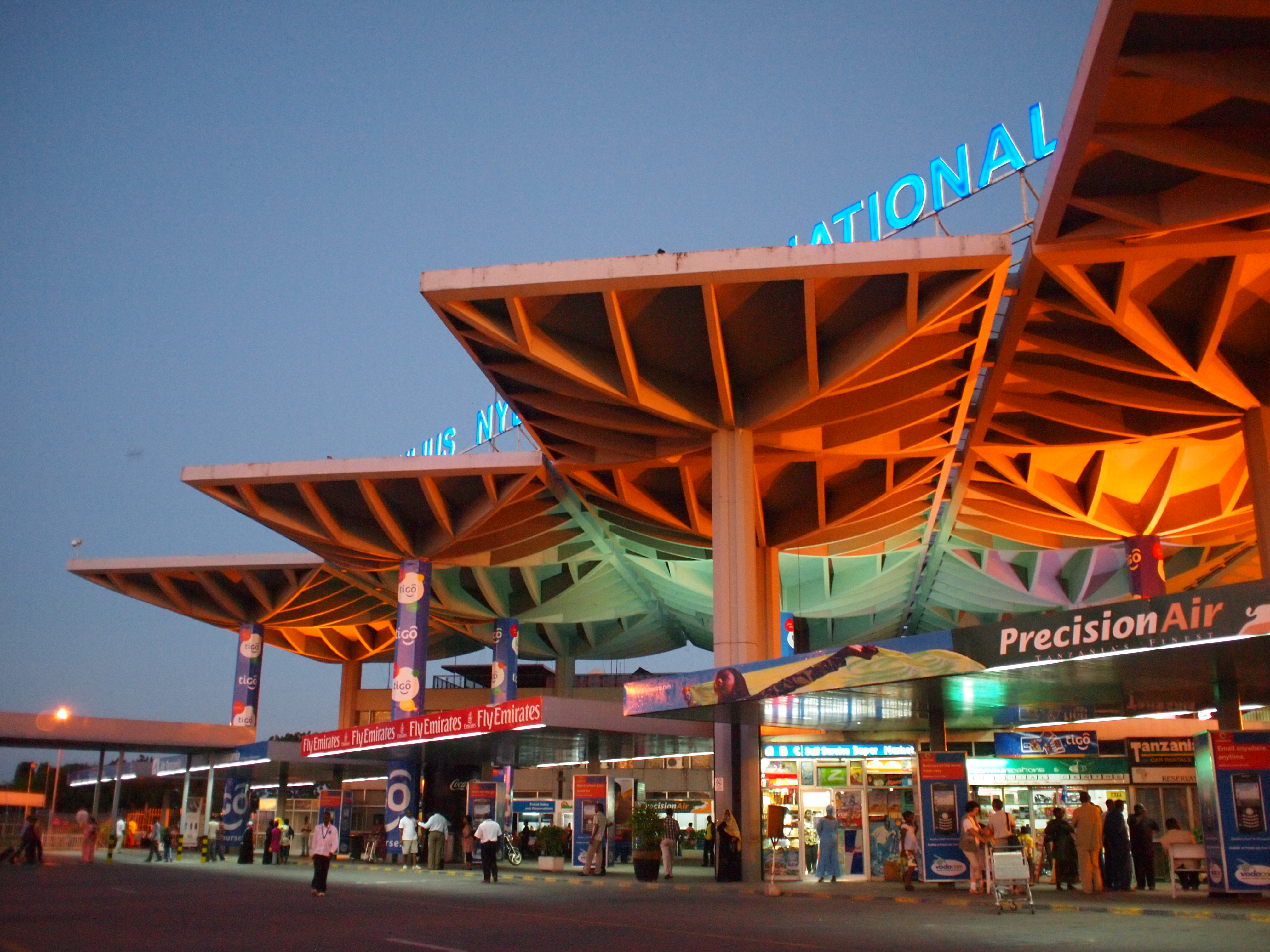
Julius Nyerere International Airport is the international airport of Dar es Salaam, the largest city in Tanzania. It is located approximately southwest of the city centre. The airport has flights to destinations in Africa, Asia, Europe, and the Middle East. It is named after Julius Nyerere, the nation's first president. History In October 2005, "Dar es Salaam International Airport" (DIA) was renamed "Mwalimu Julius Kambarage Nyerere International Airport" and on 1 November 2006, "Julius Nyerere International Airport". A total of 9,501,265 passengers used the airport from 1980 to 2004, averaging 2,770 passengers per day. In April 2013, the Tanzania Airports Authority signed a TSH 275 billion contract with BAM International of the Netherlands for the construction of the first phase of Terminal III, with a capacity of 3.5 million passengers per year. In November 2015, the second phase was also awarded to BAM, at a contract price of US$110 million, and will add capacity for ... [...More Info...] [...Related Items...] OR: [Wikipedia] [Google] [Baidu] |


