|
Mięguszowiecki Szczyt Wielki
Mięguszowiecki Szczyt Wielki or the Mięguszowiecki Grand Peak ( sk, Veľký Mengusovský štít) is a mountain in the Tatra Mountains, Poland, located on the Slovak-Polish border. It is the highest of the three Mięguszowiecki Summits and the second-highest mountain in Poland after Rysy (2,499 meters, the highest peak in the Polish Tatras). Gallery File:Cubryna a3.jpg, Mięguszowiecki Szczyt Wielki (left), view from Zawory File:Filar miegusza.jpg, North-eastern slope "Filar Mięgusza" leading to Morskie Oko File:Mięguszowieckie Szczyty a1.jpg, Mięguszowieckie Summits Two-thousanders of Poland Two-thousanders of Slovakia Mountains of the Western Carpathians {{Slovakia-geo-stub ... [...More Info...] [...Related Items...] OR: [Wikipedia] [Google] [Baidu] |
Poland
Poland, officially the Republic of Poland, is a country in Central Europe. It is divided into 16 administrative provinces called voivodeships, covering an area of . Poland has a population of over 38 million and is the fifth-most populous member state of the European Union. Warsaw is the nation's capital and largest metropolis. Other major cities include Kraków, Wrocław, Łódź, Poznań, Gdańsk, and Szczecin. Poland has a temperate transitional climate and its territory traverses the Central European Plain, extending from Baltic Sea in the north to Sudeten and Carpathian Mountains in the south. The longest Polish river is the Vistula, and Poland's highest point is Mount Rysy, situated in the Tatra mountain range of the Carpathians. The country is bordered by Lithuania and Russia to the northeast, Belarus and Ukraine to the east, Slovakia and the Czech Republic to the south, and Germany to the west. It also shares maritime boundaries with Denmark and Sweden. ... [...More Info...] [...Related Items...] OR: [Wikipedia] [Google] [Baidu] |
Slovakia
Slovakia (; sk, Slovensko ), officially the Slovak Republic ( sk, Slovenská republika, links=no ), is a landlocked country in Central Europe. It is bordered by Poland to the north, Ukraine to the east, Hungary to the south, Austria to the southwest, and the Czech Republic to the northwest. Slovakia's mostly mountainous territory spans about , with a population of over 5.4 million. The capital and largest city is Bratislava, while the second largest city is Košice. The Slavs arrived in the territory of present-day Slovakia in the fifth and sixth centuries. In the seventh century, they played a significant role in the creation of Samo's Empire. In the ninth century, they established the Principality of Nitra, which was later conquered by the Principality of Moravia to establish Great Moravia. In the 10th century, after the dissolution of Great Moravia, the territory was integrated into the Principality of Hungary, which then became the Kingdom of Hungary in 1000. In 1241 a ... [...More Info...] [...Related Items...] OR: [Wikipedia] [Google] [Baidu] |
Tatras
The Tatra Mountains (), Tatras, or Tatra (''Tatry'' either in Slovak () or in Polish () - ''plurale tantum''), are a series of mountains within the Western Carpathians that form a natural border between Slovakia and Poland. They are the highest mountains the Carpathians. The Tatras are distinct from the Low Tatras ( sk, Nízke Tatry), a separate Slovak mountain range further south. The Tatra Mountains occupy an area of , of which about (77.7%) lie within Slovakia and about (22.3%) within Poland. The highest peak, called Gerlachovský štít, at 2,655 m (8710 ft), is located north of Poprad, entirely in Slovakia. The highest point in Poland, Rysy, at 2,499 m (8200 ft), is located south of Zakopane, on the border with Slovakia. The Tatras' length, measured from the eastern foothills of the ''Kobylí vrch'' (1109 m) to the southwestern foot of ''Ostrý vrch'' (1128 m), in a straight line, is (or according to some), and strictly along the main ridge, . The ... [...More Info...] [...Related Items...] OR: [Wikipedia] [Google] [Baidu] |
Tatra Mountains
The Tatra Mountains (), Tatras, or Tatra (''Tatry'' either in Slovak language, Slovak () or in Polish language, Polish () - ''plurale tantum''), are a series of mountains within the Western Carpathians that form a natural border between Slovakia and Poland. They are the highest mountains the Carpathians. The Tatras are distinct from the Low Tatras ( sk, Nízke Tatry), a separate Slovak mountain range further south. The Tatra Mountains occupy an area of , of which about (77.7%) lie within Slovakia and about (22.3%) within Poland. The highest peak, called Gerlachovský štít, at 2,655 m (8710 ft), is located north of Poprad, entirely in Slovakia. The highest point in Poland, Rysy, at 2,499 m (8200 ft), is located south of Zakopane, on the border with Slovakia. The Tatras' length, measured from the eastern foothills of the ''Kobylí vrch'' (1109 m) to the southwestern foot of ''Ostrý vrch'' (1128 m), in a straight line, is (or according to some), and str ... [...More Info...] [...Related Items...] OR: [Wikipedia] [Google] [Baidu] |
Mięguszowiecki Summits
Mięguszowiecki Summits are a group of three major summits in the main ridge of the Tatra Mountains on the border between Poland and Slovakia Slovakia (; sk, Slovensko ), officially the Slovak Republic ( sk, Slovenská republika, links=no ), is a landlocked country in Central Europe. It is bordered by Poland to the north, Ukraine to the east, Hungary to the south, Austria to the s .... The highest one is the Mięguszowiecki Grand Peak (2,438m, second highest in Poland, fifteenth in Tatra Mountains). To the east of it there is Mięguszowiecki Middle Peak (2393 m) and the Mięguszowiecki Black Peak (2410 m) further eastwards. References Tatra Mountains Two-thousanders of Poland Two-thousanders of Slovakia {{Poland-geo-stub ... [...More Info...] [...Related Items...] OR: [Wikipedia] [Google] [Baidu] |
Rysy
Rysy (; ; german: Meeraugspitze, hu, Tengerszem-csúcs) is a mountain in the crest of the High Tatras, eastern part of the Tatra Mountains, lying on the border between Poland and Slovakia. Rysy has three summits: the middle at ; the north-western at ; and the south-eastern at . The north-western summit is the highest point of Poland and belongs to the Crown of Polish Mountains; the other two summits are on the Slovak side of the border. Name Experts assume that the Polish and Slovak name ''Rysy'', meaning "scratches" or "crevices", refers to a series of couloirs, either those on the western slopes of Żabie Ridge or the very prominent high couloir and numerous smaller on the northern side. A folk explanation on the Slovak side says that the name comes from the plural word ''rysy'' meaning "lynxes", although the habitat of the lynx does not extend above the timberline. The Hungarian name ''Tengerszem-csúcs'' and the German name ''Meeraugspitze'' mean "eye-of-the-sea peak", ... [...More Info...] [...Related Items...] OR: [Wikipedia] [Google] [Baidu] |
Morskie Oko
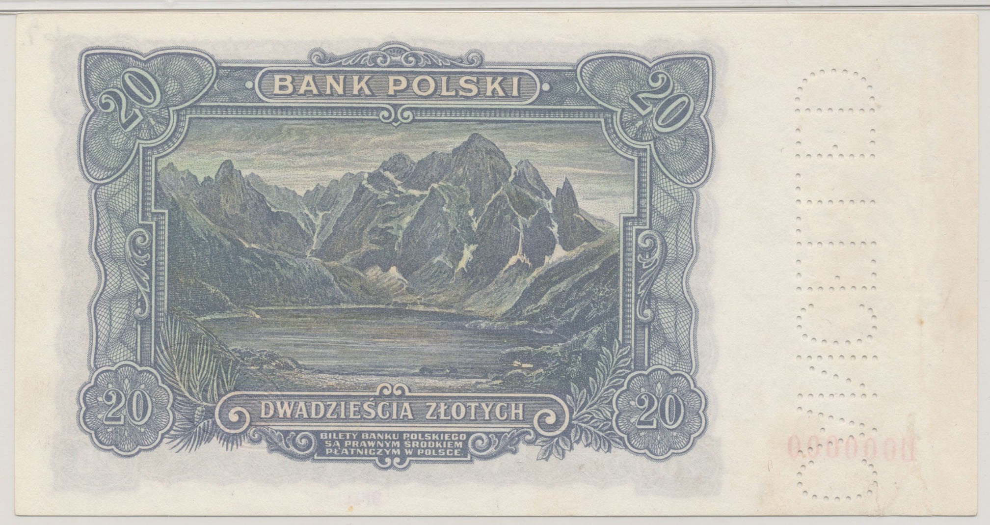
Morskie Oko, or Eye of the Sea in English, is the largest and fourth-deepest lake in the Tatra Mountains, in southern Poland. It is located deep within the Tatra National Park in the Rybi Potok (the Fish Brook) Valley, of the High Tatras mountain range at the base of the Mięguszowiecki Summits, in Lesser Poland Voivodeship. In 2014, ''The Wall Street Journal'' recognized the lake as one of the five most beautiful lakes in the world. Lake description The peaks that surround the lake rise about 1,000 meters above its surface; one of them is Rysy (2,499 meters), the highest peak in the Polish Tatras. Besides Mięguszowiecki Summits (including Mięguszowiecki Szczyt Wielki, 2,438 meters), farther away and slightly to the left, is the distinctive, slender Mnich (“Monk,” 2,068 meters). Many Swiss Pines also grow around the lake. In the past, Morskie Oko was called "Rybie Jezioro" ("Fish Lake") due to its natural stock of fish, which are uncommon in Tatra lakes and ponds. In t ... [...More Info...] [...Related Items...] OR: [Wikipedia] [Google] [Baidu] |
Two-thousanders Of Poland
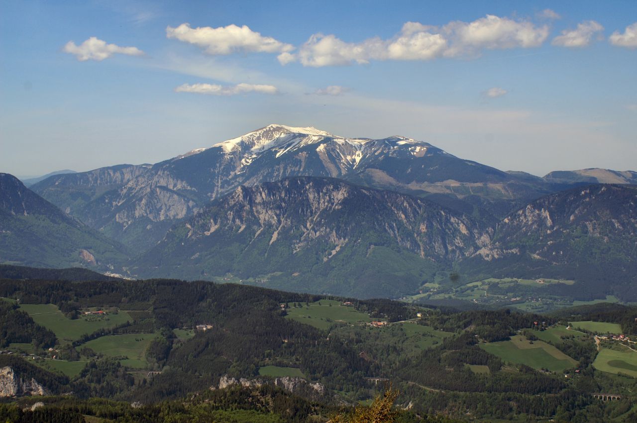
Two-thousanders are mountains that have a height of at least 2,000 metres above sea level, but less than 3,000 metres. The term is used in Alpine circles, especially in Europe (e.g. German: ''Zweitausender''). The two photographs show two typical two-thousanders in the Alps that illustrate different types of mountain. The Säuling (top) is a prominent, individual peak, whereas the Schneeberg (bottom) is an elongated limestone massif. In ranges like the Allgäu Alps, the Gesäuse or the Styrian-Lower Austrian Limestone Alps the mountain tour descriptions for mountaineers or hikers commonly include the two-thousanders, especially in areas where only a few summits exceed this level. Examples from these regions of the Eastern Alps are: * the striking Nebelhorn (2,224 m) near Oberstdorf or the Säuling (2,047 m) near Neuschwanstein, * the Admonter Reichenstein (2,251 m), Eisenerzer Reichenstein (2,165 m), Großer Pyhrgas (2,244 m) or Hochtor (2,369& ... [...More Info...] [...Related Items...] OR: [Wikipedia] [Google] [Baidu] |
Two-thousanders Of Slovakia
Two-thousanders are mountains that have a height of at least 2,000 metres above sea level, but less than 3,000 metres. The term is used in Alpine circles, especially in Europe (e.g. German: ''Zweitausender''). The two photographs show two typical two-thousanders in the Alps that illustrate different types of mountain. The Säuling (top) is a prominent, individual peak, whereas the Schneeberg (bottom) is an elongated limestone massif. In ranges like the Allgäu Alps, the Gesäuse or the Styrian-Lower Austrian Limestone Alps the mountain tour descriptions for mountaineers or hikers commonly include the two-thousanders, especially in areas where only a few summits exceed this level. Examples from these regions of the Eastern Alps are: * the striking Nebelhorn (2,224 m) near Oberstdorf or the Säuling (2,047 m) near Neuschwanstein, * the Admonter Reichenstein (2,251 m), Eisenerzer Reichenstein (2,165 m), Großer Pyhrgas (2,244 m) or Hochtor (2,369 ... [...More Info...] [...Related Items...] OR: [Wikipedia] [Google] [Baidu] |


