|
Milburn, New Zealand
Milburn is a small settlement about three kilometres north of Milton, New Zealand, Milton, New Zealand. Milburn has since 2007 been home to the Otago Corrections Facility. This low to high-medium security men's prison, at the northern end of Milburn, is the largest in the Otago region, housing up to 485 inmates and employing 201 staff. History Milburn is also locally famous for its quarrying, limeworks. Many thousands of tonnes of crushed limestone are trucked out of the hills separating the Tokomairaro River, Tokomairaro Plain and Lake Waihola annually to be used in fertilizers. A large whale fossil can be found in a display at a lookout over the limeworks, Tokomairaro Plains and Lake Waihola. Milbur ...[...More Info...] [...Related Items...] OR: [Wikipedia] [Google] [Baidu] |
Regions Of New Zealand
New Zealand is divided into sixteen regions () for local government in New Zealand, local government purposes. Eleven are administered by regional councils (the top tier of local government), and five are administered by Unitary authority#New Zealand, unitary authorities, which are territorial authorities of New Zealand, territorial authorities (the second tier of local government) that also perform the functions of regional councils. The Chatham Islands#Government, Chatham Islands Council is not a region but is similar to a unitary authority, authorised under its own legislation. Current regions History and statutory basis The regional councils are listed in Part 1 of Schedule 2 of the Local Government Act 2002 (New Zealand), Local Government Act 2002, along with reference to the ''New Zealand Gazette, Gazette'' notices that established them in 1989. The Act requires regional councils to promote sustainable developmentthe social, economic, environmental and cultural well-bei ... [...More Info...] [...Related Items...] OR: [Wikipedia] [Google] [Baidu] |
Otago
Otago (, ; mi, Ōtākou ) is a region of New Zealand located in the southern half of the South Island administered by the Otago Regional Council. It has an area of approximately , making it the country's second largest local government region. Its population was The name "Otago" is the local southern Māori dialect pronunciation of "Ōtākou", the name of the Māori village near the entrance to Otago Harbour. The exact meaning of the term is disputed, with common translations being "isolated village" and "place of red earth", the latter referring to the reddish-ochre clay which is common in the area around Dunedin. "Otago" is also the old name of the European settlement on the harbour, established by the Weller Brothers in 1831, which lies close to Otakou. The upper harbour later became the focus of the Otago Association, an offshoot of the Free Church of Scotland, notable for its adoption of the principle that ordinary people, not the landowner, should choose the ministe ... [...More Info...] [...Related Items...] OR: [Wikipedia] [Google] [Baidu] |
Territorial Authorities Of New Zealand
Territorial authorities are the second tier of local government in New Zealand, below regional councils. There are 67 territorial authorities: 13 city councils, 53 district councils and the Chatham Islands Council. District councils serve a combination of rural and urban communities, while city councils administer the larger urban areas.City councils serve a population of more than 50,000 in a predominantly urban area. Five territorial authorities (Auckland, Nelson, Gisborne, Tasman and Marlborough) also perform the functions of a regional council and thus are unitary authorities. The Chatham Islands Council is a '' sui generis'' territorial authority that is similar to a unitary authority. Territorial authority districts are not subdivisions of regions, and some of them fall within more than one region. Regional council areas are based on water catchment areas, whereas territorial authorities are based on community of interest and road access. Regional councils are respons ... [...More Info...] [...Related Items...] OR: [Wikipedia] [Google] [Baidu] |
Clutha District
Clutha District is a local government district of southern New Zealand, with its headquarters in the Otago town of Balclutha. The Clutha District has a land area of and an estimated population of as of . Clutha District occupies the majority of the geographical area known as South Otago. Geography The geography of the Clutha District is dominated by the valley of the Clutha River, which flows southeast from the lakes of Central Otago, bisecting the Clutha District and reaching the Pacific Ocean via two river mouths, one of which is not far from Kaitangata, the other is closer to Kaka Point. The two branches of the river (the Matau and the Kouau) form the island of Inch Clutha. To the south of this is the rough bush country of the Catlins, with its forests and rugged coastline. To the north of the Clutha valley is mainly rolling hill country, with the plain of the Tokomairaro River to the northeast, along with Lake Waihola and Lake Waipori, which are part of the catchment of ... [...More Info...] [...Related Items...] OR: [Wikipedia] [Google] [Baidu] |
Ngāi Tahu
Ngāi Tahu, or Kāi Tahu, is the principal Māori (tribe) of the South Island. Its (tribal area) is the largest in New Zealand, and extends from the White Bluffs / Te Parinui o Whiti (southeast of Blenheim), Mount Mahanga and Kahurangi Point in the north to Stewart Island / Rakiura in the south. The comprises 18 (governance areas) corresponding to traditional settlements. Ngāi Tahu originated in the Gisborne District of the North Island, along with Ngāti Porou and Ngāti Kahungunu, who all intermarried amongst the local Ngāti Ira. Over time, all but Ngāti Porou would migrate away from the district. Several were already occupying the South Island prior to Ngāi Tahu's arrival, with Kāti Māmoe only having arrived about a century earlier from the Hastings District, and already having conquered Waitaha, who themselves were a collection of ancient groups. Other that Ngāi Tahu encountered while migrating through the South Island were Ngāi Tara, Rangitāne, Ngāti T ... [...More Info...] [...Related Items...] OR: [Wikipedia] [Google] [Baidu] |
Milton, New Zealand
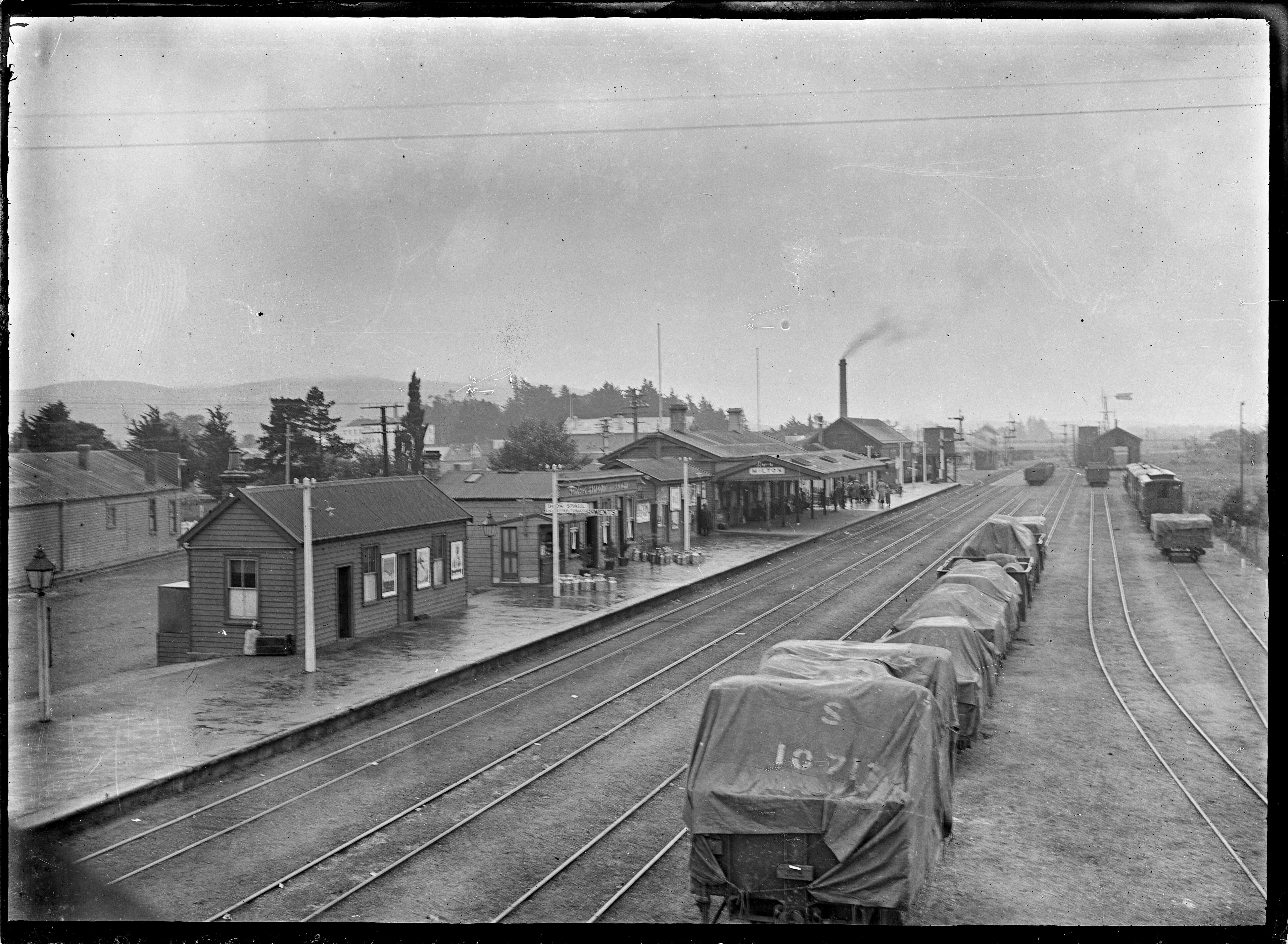
Milton, formerly known as Tokomairiro or Tokomairaro, is a town of over 2,000 people, located on State Highway 1, 50 kilometres to the south of Dunedin in Otago, New Zealand. It lies on the floodplain of the Tokomairaro River, one branch of which loops past the north and south ends of the town. This river gives its name to many local features, notably the town's only secondary school, Tokomairiro High School. Founded as a milling town in the 1850s, there has long been dispute as to the naming of the settlement. The town's streets are named for prominent British poets, and it is possible that the town's original intended name of Milltown became shortened by association with the poet of the same name. It is equally possible, however, that the name Milton inspired the choice of poets' names for the streets. History Milton's early history was strongly affected by the discovery of gold by Gabriel Read at Gabriel's Gully close to the nearby township of Lawrence. As Milton stood clo ... [...More Info...] [...Related Items...] OR: [Wikipedia] [Google] [Baidu] |
Otago Corrections Facility
There are eighteen adult prisons in New Zealand. Three prisons house female offenders, one each in Auckland, Wellington and Christchurch. The remaining fifteen house male offenders; ten in the North Island and five in the South Island. In addition, there are four youth correctional facilities, termed youth justice residences. The facilities are managed by the Department of Corrections. There are five security levels in New Zealand adult prisons: Minimum, Low, Low-Medium, High and Maximum. In 2018 '' North & South'' magazine published a long-form article by Paul Little titled "The Case for Closing Prisons" which included data on New Zealand prison inmate populations. List of prisons Northern Region Northland Region Corrections Facility (Ngawha) Northland Region Corrections Facility is located 5 km northeast of the town of Kaikohe and is colloquially known as Ngawha - after the local area. Maori in Northland tried to persuade the Corrections Department not to upset a ... [...More Info...] [...Related Items...] OR: [Wikipedia] [Google] [Baidu] |
Quarrying
A quarry is a type of open-pit mine in which dimension stone, rock, construction aggregate, riprap, sand, gravel, or slate is excavated from the ground. The operation of quarries is regulated in some jurisdictions to reduce their environmental impact. The word ''quarry'' can also include the underground quarrying for stone, such as Bath stone. Types of rock Types of rock extracted from quarries include: *Chalk *China clay *Cinder *Clay *Coal *Construction aggregate (sand and gravel) * Coquina *Diabase *Gabbro *Granite * Gritstone *Gypsum *Limestone *Marble *Ores *Phosphate rock *Quartz *Sandstone *Slate *Travertine Stone quarry Stone quarry is an outdated term for mining construction rocks (limestone, marble, granite, sandstone, etc.). There are open types (called quarries, or open-pit mines) and closed types ( mines and caves). For thousands of years, only hand tools had been used in quarries. In the 18th century, the use of drilling and blasting operations was ... [...More Info...] [...Related Items...] OR: [Wikipedia] [Google] [Baidu] |
Limestone
Limestone ( calcium carbonate ) is a type of carbonate sedimentary rock which is the main source of the material lime. It is composed mostly of the minerals calcite and aragonite, which are different crystal forms of . Limestone forms when these minerals precipitate out of water containing dissolved calcium. This can take place through both biological and nonbiological processes, though biological processes, such as the accumulation of corals and shells in the sea, have likely been more important for the last 540 million years. Limestone often contains fossils which provide scientists with information on ancient environments and on the evolution of life. About 20% to 25% of sedimentary rock is carbonate rock, and most of this is limestone. The remaining carbonate rock is mostly dolomite, a closely related rock, which contains a high percentage of the mineral dolomite, . ''Magnesian limestone'' is an obsolete and poorly-defined term used variously for dolomite, for limes ... [...More Info...] [...Related Items...] OR: [Wikipedia] [Google] [Baidu] |
Tokomairaro River
The Tokomairaro River is located in Otago, New Zealand. It flows southeast for some 50 kilometres (30 mi), reaching the Pacific Ocean at Toko Mouth 50 kilometres (30 mi) south of Dunedin. The town of Milton is located on the Tokomairaro's floodplain, close to the junction of its two main branches (which run past the north and south ends of the town). The name of the river is Māori Māori or Maori can refer to: Relating to the Māori people * Māori people of New Zealand, or members of that group * Māori language, the language of the Māori people of New Zealand * Māori culture * Cook Islanders, the Māori people of the C ..., and translates roughly as 'place where canoe must be poled' (a possible reference to the method needed to travel through the extensive wetlands, instead of the usual paddling). The Tokomairaro River is prone to seasonal flooding during the heavy rainfall months, August to October. Local industrial buildings have been forced to build high co ... [...More Info...] [...Related Items...] OR: [Wikipedia] [Google] [Baidu] |
Lake Waihola
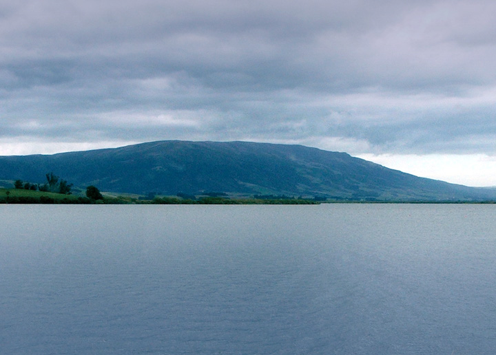
Lake Waihola is a 640 ha tidal freshwater lake located 15 km north of Milton in Otago, in New Zealand's South Island. Its area is some 9 square kilometres, with a maximum length of 6 kilometres and a mean depth of 0.75m. It is the larger of a pair of existing lakes—the other being Lake Waipori—which lie in a small area of low hills between the Taieri and Tokomairaro. Waihola is drained by the Waipori River, a tributary of the Taieri. Both lakes are very shallow and surrounded by wetlands, including the internationally renowned and protected Sinclair Wetlands which are the home to many species of wading birds. This shallowness is reflected in the name Waihola, the southern Māori form of the word ''waihora'', which means "spreading waters". Lake Waihola is a popular day trip for holidaymakers from Dunedin, 40 km to the north. The small township of Waihola (population 200), nestled against the lake's eastern edge, has facilities for fishing, yachting, and ... [...More Info...] [...Related Items...] OR: [Wikipedia] [Google] [Baidu] |
Fertilizer
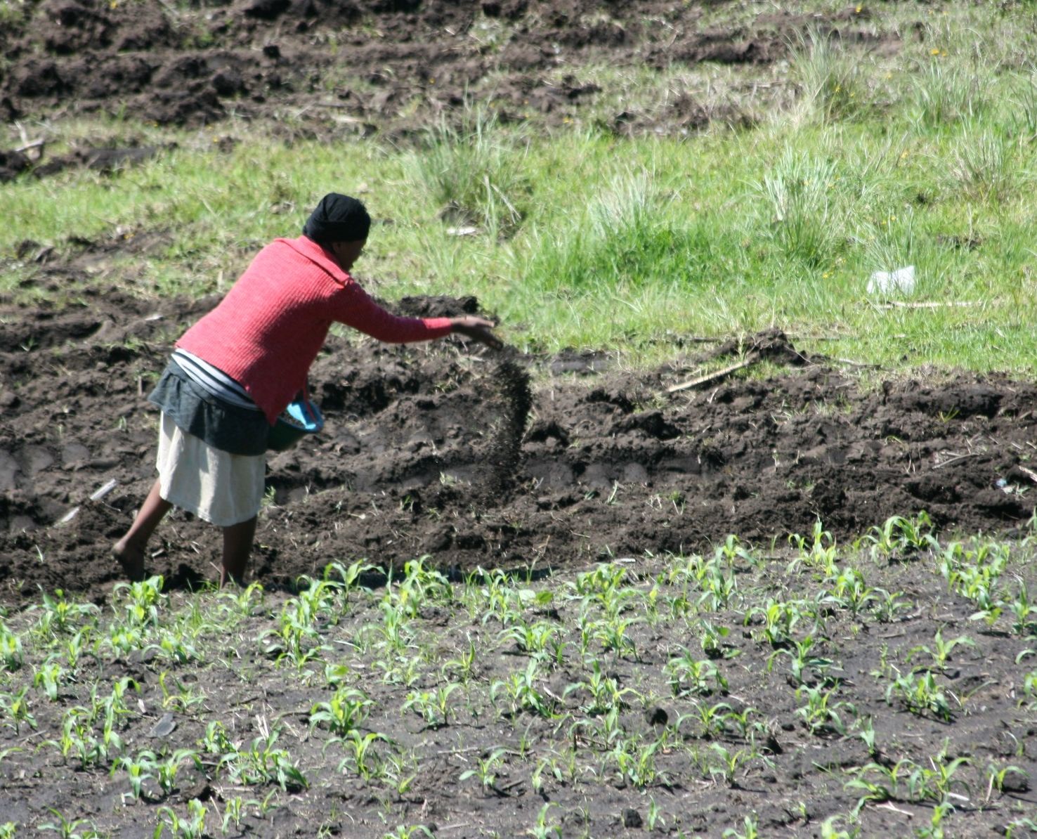
A fertilizer (American English) or fertiliser (British English; see spelling differences) is any material of natural or synthetic origin that is applied to soil or to plant tissues to supply plant nutrients. Fertilizers may be distinct from liming materials or other non-nutrient soil amendments. Many sources of fertilizer exist, both natural and industrially produced. For most modern agricultural practices, fertilization focuses on three main macro nutrients: nitrogen (N), phosphorus (P), and potassium (K) with occasional addition of supplements like rock flour for micronutrients. Farmers apply these fertilizers in a variety of ways: through dry or pelletized or liquid application processes, using large agricultural equipment or hand-tool methods. Historically fertilization came from natural or organic sources: compost, animal manure, human manure, harvested minerals, crop rotations and byproducts of human-nature industries (i.e. fish processing waste, or bloodmeal from ... [...More Info...] [...Related Items...] OR: [Wikipedia] [Google] [Baidu] |
.jpg)

.jpg)


