|
Meiringen
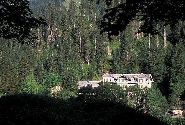
Meiringen () is a municipality in the Interlaken-Oberhasli administrative district in the canton of Bern in Switzerland. Besides the village of Meiringen, the municipality includes the settlements of Balm, Brünigen, Eisenbolgen, Hausen, Prasti, Sand, Stein, Unterbach, Unterheidon, Wylerli and Zaun. Meiringen is famous for the nearby Reichenbach Falls, a waterfall that was the setting for the final showdown between Sir Arthur Conan Doyle's fictional detective Sherlock Holmes and his nemesis Professor Moriarty. The village is also known for its claim to have been the place where meringue was first created. The municipal coat of arms shows a black eagle in a yellow field. (" Or an Eagle displayed Sable crowned, beaked, langued and membered of the first.") Formerly the coat of arms of the entire Oberhasli ''Talschaft'', this design continues the imperial coat of arms. Geography Meiringen is located in the eastern Bernese Oberland region, in the Haslital on the upper reaches ... [...More Info...] [...Related Items...] OR: [Wikipedia] [Google] [Baidu] |
Oberhasli
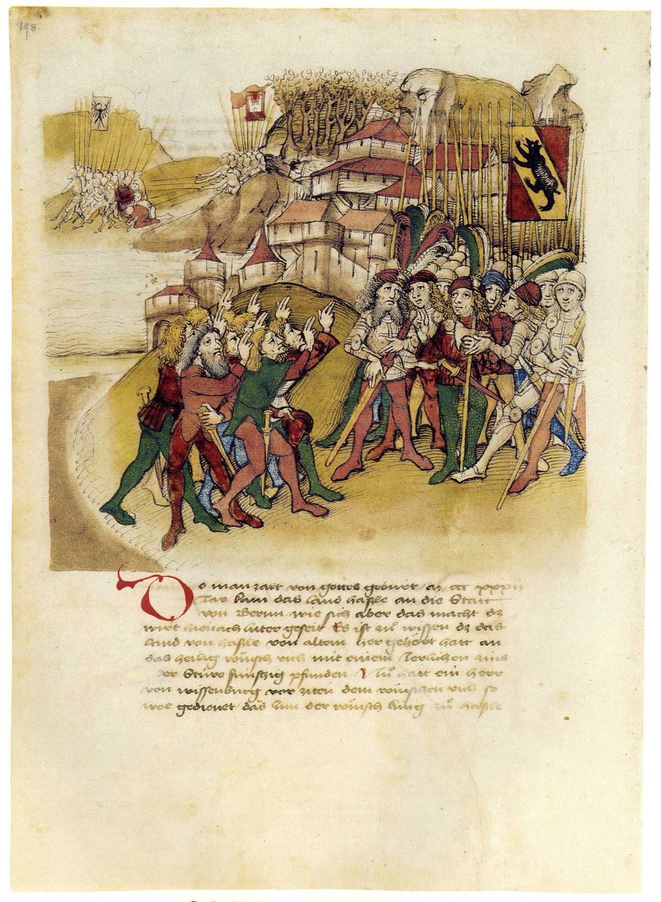
The Oberhasli is a historical ''Landvogtei'' or ''Talschaft'' in the Bernese Highlands, Switzerland, bordering on the cantons of Obwalden (OW), Nidwalden (NW), Uri (UR) and Wallis (VS). From 1833 to 2009, Oberhasli was incorporated as the Oberhasli district, the easternmost of the 26 districts of the canton of Bern, bordering the district of Interlaken to the west. Since 2010, Oberhasli and Interlaken have been administratively united as the administrative district Interlaken-Oberhasli. The local dialect is of the Highest Alemannic variety. With its area of 551 km², it is larger than the canton of Basel-Landschaft. It consists of the six municipalities of Gadmen, Guttannen, Hasliberg, Innertkirchen, Meiringen and Schattenhalb, with a total population of just below 8,000, corresponding to a population density of less than 15/km2 (compared to a Swiss average of 181/km2), due to a significant portion of the area of Oberhasli being uninhabitable High Alps. Haslital i ... [...More Info...] [...Related Items...] OR: [Wikipedia] [Google] [Baidu] |
Haslital
The Oberhasli is a historical '' Landvogtei'' or '' Talschaft'' in the Bernese Highlands, Switzerland, bordering on the cantons of Obwalden (OW), Nidwalden (NW), Uri (UR) and Wallis (VS). From 1833 to 2009, Oberhasli was incorporated as the Oberhasli district, the easternmost of the 26 districts of the canton of Bern, bordering the district of Interlaken to the west. Since 2010, Oberhasli and Interlaken have been administratively united as the administrative district Interlaken-Oberhasli. The local dialect is of the Highest Alemannic variety. With its area of 551 km², it is larger than the canton of Basel-Landschaft. It consists of the six municipalities of Gadmen, Guttannen, Hasliberg, Innertkirchen, Meiringen and Schattenhalb, with a total population of just below 8,000, corresponding to a population density of less than 15/km2 (compared to a Swiss average of 181/km2), due to a significant portion of the area of Oberhasli being uninhabitable High Alps. Hasl ... [...More Info...] [...Related Items...] OR: [Wikipedia] [Google] [Baidu] |
Innertkirchen
Innertkirchen is a village and municipality in the Interlaken-Oberhasli administrative district in the canton of Bern in Switzerland. On 1 January 2014 the former municipality of Gadmen merged into the municipality of Innertkirchen.Nomenklaturen – Amtliches Gemeindeverzeichnis der Schweiz accessed 13 December 2014 History Innertkirchen The name of the municipality is of recent origin and first appeared in print in 1834. It was formed from the farming settlements ('' Bäuerten'') of Grund, Bottigen, Wyler-Schattseite, Wyler-Sonnseite and the |
Hasliberg
Hasliberg is a Swiss municipality in the Interlaken-Oberhasli administrative district in the canton of Bern. Hasliberg is situated on a south-west facing terrace above the valley of the river Aare. The four villages spread out along this terrace are, from west to east, Hohfluh, Wasserwendi, Goldern and Reuti. Hasliberg has become a popular destination for winter sports. An international boarding school, the Ecole d'Humanité, is located in Goldern. History Hasliberg is first mentioned in 1358 as ''Hasle an dem berge''. The name is derived from the Old High German ''hasal'' "hazel". After 1834 it was known as '' Hasleberg''. Since 1923 the spelling has been Hasliberg. A few, scattered Roman coins were found in the municipality, but the earliest known settlement dates back to the Middle Ages. During the Middle Ages Hasliberg was part of the Vogtei of Oberhasli and the parish of Meiringen. In 1334 the entire Oberhasli Vogtei was acquired by Bern. For most of their history, th ... [...More Info...] [...Related Items...] OR: [Wikipedia] [Google] [Baidu] |
Schattenhalb
Schattenhalb is a municipality in the Interlaken-Oberhasli administrative district in the canton of Bern in Switzerland. The municipality includes the settlements of Willigen, Geissholz, Falcheren and Lüögen. History The municipality was created in 1834 from the cooperative farms ('' Bäuerten'') of "Willigen," "Geissholz," "Falchern" and "Lugen." The name Schattenhalb ("Shadow-half") refers to the shady face of the mountainside south of Meiringen. The oldest traces of settlements in the area are scattered Bronze Age ax and spear heads and a Roman era coin hoard. By the Middle Ages the scattered Bäuerten of Schattenhalb were part of the parish of Meiringen and the Vogtei of Hasli. In 1334 the entire Vogtei was acquired by the city of Bern. Traditionally the villagers raised cattle and horses in seasonal alpine meadows and then sold the livestock and cheese to traders. During the 18th and 19th century authors, such as Charles Victor de Bonstetten and Jakob Samue ... [...More Info...] [...Related Items...] OR: [Wikipedia] [Google] [Baidu] |
Reichenbach Falls
The Reichenbach Falls (german: Reichenbachfälle) are a waterfall cascade of seven steps on the stream called Rychenbach in the Bernese Oberland region of Switzerland. They drop over a total height of about . At , the upper falls, known as the Grand Reichenbach Fall (german: Grosser Reichenbachfall), is by far the tallest segment and one of the highest waterfalls in the Alps, and among the forty highest in Switzerland. The Reichenbach loses of height from the top of the falls to the valley floor of the Haslital. Today, a hydroelectric power company harnesses the flow of the Reichenbach Falls during certain times of year, reducing its flow. In popular literature, Sir Arthur Conan Doyle gave the Grand (or Great) Reichenbach Fall as the location of the final physical altercation between his hero Sherlock Holmes and his greatest foe, the criminal Professor Moriarty, in " The Final Problem". Location The falls are located in the lower part of the Reichenbachtal, on the Ryche ... [...More Info...] [...Related Items...] OR: [Wikipedia] [Google] [Baidu] |
Interlaken-Oberhasli (administrative District)
Interlaken-Oberhasli District in the Canton of Bern was created on 1 January 2010, uniting the former Interlaken District, Interlaken and Oberhasli districts. It is part of the Bernese Oberland, Oberland administrative region. It contains 28 municipalities with an area of and a population () of 48,763. Mergers * On 1 January 2014 the former municipality of Gadmen merged into the municipality of Innertkirchen.Nomenklaturen – Amtliches Gemeindeverzeichnis der Schweiz accessed 13 December 2014 References {{coord, 46, 04, N, 7, 03, E, source:kolossus-eowiki, display=title Districts of the canton of Bern ...[...More Info...] [...Related Items...] OR: [Wikipedia] [Google] [Baidu] |
Bernese Oberland
The Bernese Oberland ( en, Bernese Highlands, german: Berner Oberland; gsw, Bärner Oberland; french: Oberland bernois), the highest and southernmost part of the canton of Bern, is one of the canton's five administrative regions (in which context it is referred to as ''Oberland'' without further specification). It constitutes the Alpine region of the canton and the northern side of the Bernese Alps, including many of its highest peaks, among which the Finsteraarhorn (), the highest in both range and canton. The region essentially coincides with the upper basin of the Aare, the latter notably comprehending Lake Thun and Lake Brienz, the two large lakes of the region. On the banks of the lakes or the Aare are the main settlements of Thun, Spiez, Interlaken, Brienz and Meiringen. The numerous side valleys of the Bernese Oberland include a large number of Alpine villages, many of them being tourist resorts and connected by mountain railways to Spiez and Interlaken. The Lötsch ... [...More Info...] [...Related Items...] OR: [Wikipedia] [Google] [Baidu] |
Brienz, Bern
Brienz ( , , ) is a village and municipality on the northern shore of Lake Brienz, at the foot of the Brienzer Rothorn mountain, and in the Bernese Oberland region of Switzerland. Besides the village of Brienz, the municipality includes the settlements of Kienholz and Axalp. Politically, the municipality is located in the Interlaken-Oberhasli administrative district of the canton of Bern. History The first settlements date from the neolithic and Bronze Ages. In the 5th century BC, the Celts settled in the alpine valleys among the sources of the Rhone, the Rhine and the Danube, eventually stretching from the headwaters down to Vienna and Belgrade. At the end of 1st century BC the Romans conquered this area. The Roman settlements were destroyed by the Alamanni in 259/60. They eventually settled in the area around 450. In any case, evidence has been found for a settlement by the Alamanni in the 7th century. Brienz is first mentioned in 1146 as ''Briens''. In 1528, afte ... [...More Info...] [...Related Items...] OR: [Wikipedia] [Google] [Baidu] |
Meringue
Meringue (, ; ) is a type of dessert or candy, often associated with Swiss, French, Polish and Italian cuisines, traditionally made from whipped egg whites and sugar, and occasionally an acidic ingredient such as lemon, vinegar, or cream of tartar. A binding agent such as salt, flour or gelatin may also be added to the eggs. The key to the formation of a good meringue is the formation of stiff peaks by denaturing the protein ovalbumin (a protein in the egg whites) via mechanical shear. Its flavorants are vanilla, a small amount of apple juice, or orange juice, although if extracts of these are used and are based on an oil infusion, an excess of fat from the oil may inhibit the egg whites from forming a foam. They are light, airy and sweet confections. Homemade meringues are often chewy and soft with a crisp exterior, while many commercial meringues are crisp throughout. A uniform crisp texture may be achieved at home by baking at a low temperature () for an extended p ... [...More Info...] [...Related Items...] OR: [Wikipedia] [Google] [Baidu] |
Brünig Pass
The Brünig Pass, at an altitude of , connects the Bernese Oberland and central Switzerland, linking Meiringen in the canton of Bern and Lungern in the canton of Obwalden. It is on the watershed between the upper reaches of the Aare, which flows through Lake Brienz and Lake Thun, and the Sarner Aa, which flows into Lake Lucerne. The pass is crossed by the Zentralbahn's Brünig railway line, between Lucerne and Interlaken, and that line's Brünig-Hasliberg station is situated in the pass. The pass is also crossed by the A8 motorway, between Lucerne and Spiez. Both rail and road crossings are normally kept open throughout the winter. The pass is the starting or finishing point of many hikes. Particularly popular is the route to or from the Brienzer Rothorn, which is accessible by rail at both ends. The pass was on a general transport route with the southern Grimsel and Gries passes connecting central Switzerland with present-day Italian Domodossola. It is assumed th ... [...More Info...] [...Related Items...] OR: [Wikipedia] [Google] [Baidu] |
Sherlock Holmes
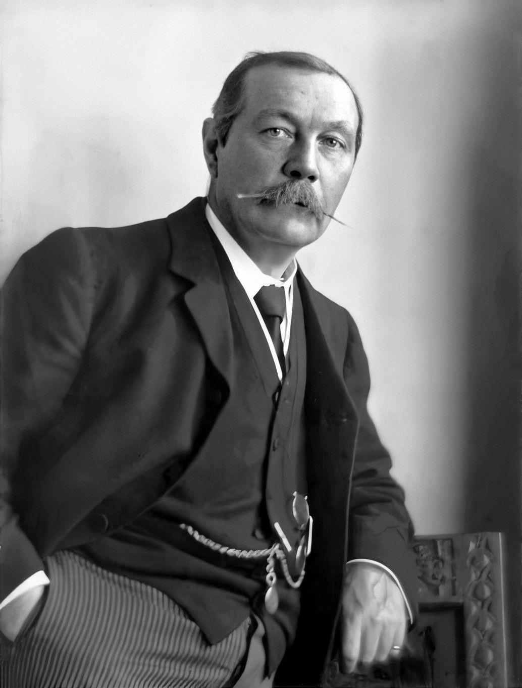
Sherlock Holmes () is a fictional detective created by British author Arthur Conan Doyle. Referring to himself as a "consulting detective" in the stories, Holmes is known for his proficiency with observation, deduction, forensic science and logical reasoning that borders on the fantastic, which he employs when investigating cases for a wide variety of clients, including Scotland Yard. First appearing in print in 1887's '' A Study in Scarlet'', the character's popularity became widespread with the first series of short stories in '' The Strand Magazine'', beginning with " A Scandal in Bohemia" in 1891; additional tales appeared from then until 1927, eventually totalling four novels and 56 short stories. All but one are set in the Victorian or Edwardian eras, between about 1880 and 1914. Most are narrated by the character of Holmes's friend and biographer Dr. John H. Watson, who usually accompanies Holmes during his investigations and often shares quarters with him at the a ... [...More Info...] [...Related Items...] OR: [Wikipedia] [Google] [Baidu] |


.jpg)


