|
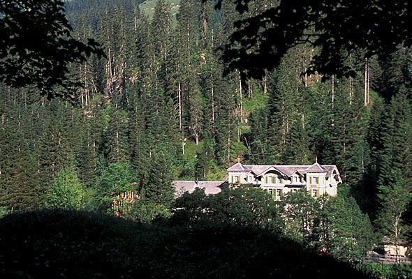
Innertkirchen
Innertkirchen is a village and municipality in the Interlaken-Oberhasli administrative district in the canton of Bern in Switzerland. On 1 January 2014 the former municipality of Gadmen merged into the municipality of Innertkirchen.Nomenklaturen – Amtliches Gemeindeverzeichnis der Schweiz accessed 13 December 2014 History Innertkirchen The name of the municipality is of recent origin and first appeared in print in 1834. It was formed from the farming settlements ('' Bäuerten'') of Grund, Bottigen, Wyler-Schattseite, Wyler-Sonnseite and the |
Interlaken-Oberhasli (administrative District)
Interlaken-Oberhasli District in the Canton of Bern was created on 1 January 2010, uniting the former Interlaken District, Interlaken and Oberhasli districts. It is part of the Bernese Oberland, Oberland administrative region. It contains 28 municipalities with an area of and a population () of 48,763. Mergers * On 1 January 2014 the former municipality of Gadmen merged into the municipality of Innertkirchen.Nomenklaturen – Amtliches Gemeindeverzeichnis der Schweiz accessed 13 December 2014 References {{coord, 46, 04, N, 7, 03, E, source:kolossus-eowiki, display=title Districts of the canton of Bern ...[...More Info...] [...Related Items...] OR: [Wikipedia] [Google] [Baidu] |
Gadmen
Gadmen is a former municipality in the Interlaken-Oberhasli administrative district in the canton of Bern in Switzerland. On 1 January 2014, the former municipality of Gadmen merged into the municipality of Innertkirchen.Nomenklaturen – Amtliches Gemeindeverzeichnis der Schweiz accessed 13 December 2014 The name Gadmen comes from the "gadum," meaning barn or small house, and was first mentioned in 1382. The municipality is in a municipal partnership with |
Meiringen
Meiringen () is a municipality in the Interlaken-Oberhasli administrative district in the canton of Bern in Switzerland. Besides the village of Meiringen, the municipality includes the settlements of Balm, Brünigen, Eisenbolgen, Hausen, Prasti, Sand, Stein, Unterbach, Unterheidon, Wylerli and Zaun. Meiringen is famous for the nearby Reichenbach Falls, a waterfall that was the setting for the final showdown between Sir Arthur Conan Doyle's fictional detective Sherlock Holmes and his nemesis Professor Moriarty. The village is also known for its claim to have been the place where meringue was first created. The municipal coat of arms shows a black eagle in a yellow field. (" Or an Eagle displayed Sable crowned, beaked, langued and membered of the first.") Formerly the coat of arms of the entire Oberhasli ''Talschaft'', this design continues the imperial coat of arms. Geography Meiringen is located in the eastern Bernese Oberland region, in the Haslital on the upper reaches ... [...More Info...] [...Related Items...] OR: [Wikipedia] [Google] [Baidu] |
Susten Pass
Susten Pass (German: ''Sustenpass'') (el. 2260 m.) is a mountain pass in the Swiss Alps. The pass road, built from 1938–1945, connects Innertkirchen in the canton of Bern with Wassen in the canton of Uri. A 300-metre long tunnel crosses the pass at 2,224 metres. The pass is popular with tourists, especially for the views of the Stein Glacier on the south side. The length and elevation of west/east climbs are respectively: * Innertkirchen (west): 27km (1599m) * Wassen (east): 17.7km (1308m) See also * List of highest paved roads in Europe * List of mountain passes *List of the highest Swiss passes This is a list of the highest road passes in Switzerland. It includes passes in the Alps and the Jura Mountains that are over above sea level. All the listed passes are crossed by paved roads. These are popular with drivers, bikers and cyclists ... References External links Profile on climbbybike.com (from Wassen) [...More Info...] [...Related Items...] OR: [Wikipedia] [Google] [Baidu] |
Guttannen
Guttannen is a municipality in the Interlaken-Oberhasli administrative district in the canton of Bern in Switzerland. Origin of the name Guttannen is the name of a meadow, which became the name of the municipality. It comes from the phrase ''ze den guoten tannen'' (by the good firs). History Guttannen is first mentioned in 1377 as ''Guotentannon''. During the Middle Ages it was part of the Vogtei of Hasli and the parish of Meiringen. In 1334 the entire Vogtei was acquired by Bern. A chapel was built in the village in 1467 though it did not have a baptismal font. When the entire Canton accepted the new faith of the Protestant Reformation, the chapel was converted and remained under Meiringen. In 1713 it joined the parish of Innertkirchen where it remained until it became an independent parish in 1816. The old chapel was damaged in a fire in 1723 and replaced with a new chapel which became a parish church when Guttannen became a parish. Following the French invasion of S ... [...More Info...] [...Related Items...] OR: [Wikipedia] [Google] [Baidu] |
Grimsel Pass
The Grimsel Pass (german: Grimselpass; french: Col du Grimsel; it, Passo del Grimsel) is a mountain pass in Switzerland, crossing the Bernese Alps at an elevation of . The pass connects the Haslital, the upper valley of the river Aare, with the upper valley of the Rhône. In so doing, and as the Aare is a tributary of the Rhine, the pass crosses the continental divide between the North Sea and the Mediterranean Sea. A paved road follows the pass, running from Gletsch to Meiringen. The road is normally closed between October and May, due to the high snowfall on the pass. As it is the only direct road pass between the cantons of Bern and Valais across the Bernese Alps, attempts are made to keep the road open as long as possible with snow ploughs. A PostBus Switzerland service uses the pass several times a day, connecting Meiringen and Oberwald. The Grimsel Pass road is part of the Aare Route, which is national cycle route 8 of Switzerland. It has been used on several occasi ... [...More Info...] [...Related Items...] OR: [Wikipedia] [Google] [Baidu] |
Hasliberg
Hasliberg is a Swiss municipality in the Interlaken-Oberhasli administrative district in the canton of Bern. Hasliberg is situated on a south-west facing terrace above the valley of the river Aare. The four villages spread out along this terrace are, from west to east, Hohfluh, Wasserwendi, Goldern and Reuti. Hasliberg has become a popular destination for winter sports. An international boarding school, the Ecole d'Humanité, is located in Goldern. History Hasliberg is first mentioned in 1358 as ''Hasle an dem berge''. The name is derived from the Old High German ''hasal'' " hazel". After 1834 it was known as '' Hasleberg''. Since 1923 the spelling has been Hasliberg. A few, scattered Roman coins were found in the municipality, but the earliest known settlement dates back to the Middle Ages. During the Middle Ages Hasliberg was part of the Vogtei of Oberhasli and the parish of Meiringen. In 1334 the entire Oberhasli Vogtei was acquired by Bern. For most of their history, t ... [...More Info...] [...Related Items...] OR: [Wikipedia] [Google] [Baidu] |
Kerns, Switzerland
Kerns is a village in the canton of Obwalden in Switzerland. History Kerns is first mentioned in 1036 as ''Chernz'' though this mention is from a 14th Century copy of the original document. After 1101 it was normally mentioned as ''Chernes''. Geography Kerns has an area, , of . Of this area, 46.7% is used for agricultural purposes, while 28.8% is forested. Of the rest of the land, 2.5% is settled (buildings or roads) and the remainder (21.9%) is non-productive (rivers, glaciers or mountains). The municipality is located on a terrace on the south-west slope of the Stanserhorn and Arvigrat mountains in the ''Sarneraatal'' and ''Melchtal'' valleys. It is the largest municipality in the canton. It consists of the village of Kerns with the sections of Dorf, Siebeneich, Wisserlen, Halten and Dietried, the hamlets of Sankt Niklausen and Melchtal as well as the resort of Melchsee-Frutt. Demographics Kerns has a population (as of ) of . , 8.0% of the population was made up of fore ... [...More Info...] [...Related Items...] OR: [Wikipedia] [Google] [Baidu] |
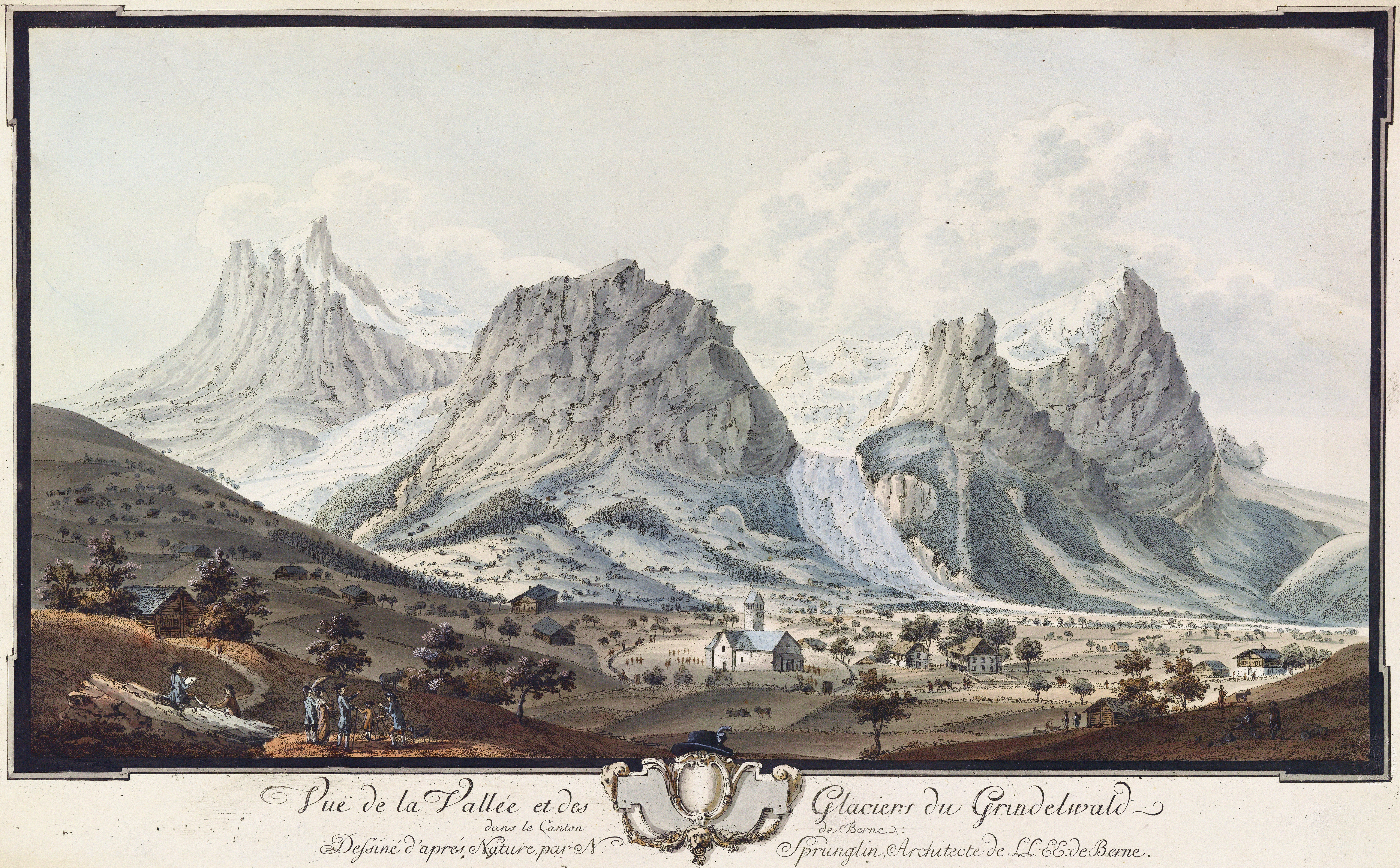
Grindelwald
Grindelwald is a village and Municipalities of Switzerland, municipality in the Interlaken-Oberhasli (administrative district), Interlaken-Oberhasli administrative district in the Cantons of Switzerland, canton of Bern (canton), Berne. In addition to the village of Grindelwald, the municipality also includes the settlements of Alpiglen, Burglauenen, Grund, Itramen, Mühlebach, Schwendi, Tschingelberg and Wargistal. Grindelwald village is located at AMSL, above sea level. Mentioned for the first time in 1146, it has become a major tourist destination of both Switzerland and the Alps since the golden age of alpinism in the 19th century. It is notably overlooked by the section of the Bernese Alps from the Wetterhorn to the Eiger, making up a huge natural barrier. Together with the adjacent valley of Lauterbrunnen, the valley of Grindelwald forms part of the Jungfrau Region of the Bernese Oberland, between Interlaken and the main crest of the Bernese Alps. Similarly to Lauterbrunnen, ... [...More Info...] [...Related Items...] OR: [Wikipedia] [Google] [Baidu] |
Schattenhalb
Schattenhalb is a municipality in the Interlaken-Oberhasli administrative district in the canton of Bern in Switzerland. The municipality includes the settlements of Willigen, Geissholz, Falcheren and Lüögen. History The municipality was created in 1834 from the cooperative farms ('' Bäuerten'') of "Willigen," "Geissholz," "Falchern" and "Lugen." The name Schattenhalb ("Shadow-half") refers to the shady face of the mountainside south of Meiringen. The oldest traces of settlements in the area are scattered Bronze Age ax and spear heads and a Roman era coin hoard. By the Middle Ages the scattered Bäuerten of Schattenhalb were part of the parish of Meiringen and the Vogtei of Hasli. In 1334 the entire Vogtei was acquired by the city of Bern. Traditionally the villagers raised cattle and horses in seasonal alpine meadows and then sold the livestock and cheese to traders. During the 18th and 19th century authors, such as Charles Victor de Bonstetten and Jakob Samuel W ... [...More Info...] [...Related Items...] OR: [Wikipedia] [Google] [Baidu] |
Wolfenschiessen
Wolfenschiessen is a village and municipality in the canton of Nidwalden in Switzerland. Besides the village of Wolfenschiessen itself, the municipality includes the settlements of Altzellen, Büren ob dem Bach, Dörfli, and Oberrickenbach, together with a large area of high alpine land, mountains, lakes, and glaciers. History Wolfenschiessen was first mentioned around 1200 as ''Wolvinscizin'' though a 14th century copy of a land record from around 1160 mentions two fields at ''Wolfenschiessen''. During the 12th century the farm and fields of Wolfenschiessen were owned by the Benedictine Muri Abbey. In the 13th and 14th centuries the lands were gradually transferred to Murbach-Lucerne and Engelberg Abbeys. Between the 12th and 13th centuries, the von Wolfenschiessen family were, probably, raised from farming to minor nobility and appointed to administer the monastery’s estates at Wolfenschiessen. They built a tower in the center of the village from which they administered an ... [...More Info...] [...Related Items...] OR: [Wikipedia] [Google] [Baidu] |
Engelberg
, neighboring_municipalities = Attinghausen (UR), Gadmen (BE), Innertkirchen (BE), Isenthal (UR), Wassen (UR), Wolfenschiessen (NW) , twintowns= Engelberg (lit.: ''mountain of angel(s)'') is a village resort and a municipality in the canton of Obwalden in Switzerland. Besides the village of Engelberg, the municipality also includes the settlements of Grafenort, Oberberg and Schwand. The municipality of Engelberg is an exclave of Obwalden, surrounded by the cantons of Bern, Nidwalden and Uri. Engelberg is a major mountain resort in Central Switzerland. In the Middle Ages, Engelberg was known for the educational quality of its Benedictine monastery, Engelberg Abbey. From the 19th Century onwards Engelberg became internationally known as a mountain resort, but it is today visited as much for skiing as for its Alpine character. With its combination of modern snow and sports facilities and alpine location, Engelberg is popular today for both summer and winter tourism. The near ... [...More Info...] [...Related Items...] OR: [Wikipedia] [Google] [Baidu] |


.jpg)


