|
Masi, Almora
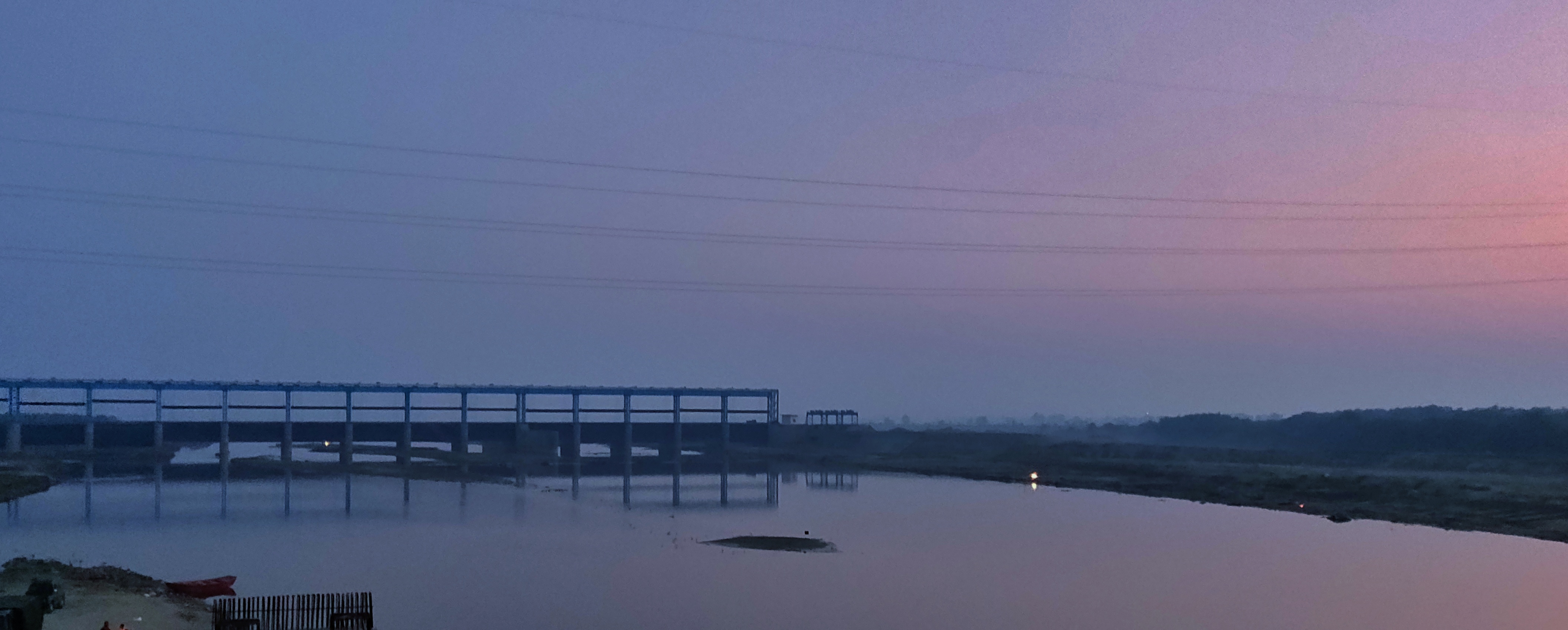
Masi is a name of a village in Talla Gewar, Chaukhutiya Block of district Almora in Uttarakhand, India. This village located near eastern bank of Ramganga River. Mostly villager of this village called as Masiwal however there are various notable villages Adigram fuloria, Bhatoli, Chauna, Dubari, Kanre, Naugaon, Unchavahan. The village is home to an annual seven-day Somnath (i.e., Shivan) festival that involves throwing stones into the Ramganga river. Transportation Pant Nagar Airport is the nearest airbase. The nearest railway stations are at Kathgodam Kathgodam is a suburb of Haldwani city in the Nainital district of Uttarakhand state of India. It used to be a part of the twin township of Haldwani-Kathgodam, and is immediately north of Haldwani. It is one of the important collection centres ... and Ram Nagar. Chaukhutiya block is the nearest block from there which is about 13 km away from there. Masi Pincode is 263658 With 29.8156491 Latitude and 79.2803459 Longitude. ... [...More Info...] [...Related Items...] OR: [Wikipedia] [Google] [Baidu] |
Almora
Almora ( Kumaoni: ''Almāḍ'') is a municipal board and a cantonment town in the state of Uttarakhand, India. It is the administrative headquarters of Almora district. Almora is located on a ridge at the southern edge of the Kumaon Hills of the Himalaya range. Koshi (Kaushiki) and Suyal (Salmale) rivers flow along the city and snow-capped Himalayas can be seen in the background. Almora was founded in 1568 by King Kalyan Chand; however, there are accounts of human settlements in the hills and surrounding region in the Hindu epic Mahabharata (8th and 9th century BCE). Almora was the seat of Chand kings that ruled over the Kumaon Kingdom. It is considered the cultural heart of the Kumaon region of Uttarakhand. According to the provisional results of the 2019 national census of India Almora had a population of 179,000. Nestled within higher peaks of the Himalaya, Almora enjoys a year-round mild temperate climate. The town is visited by thousands of tourists annually from all ove ... [...More Info...] [...Related Items...] OR: [Wikipedia] [Google] [Baidu] |
Uttarakhand
Uttarakhand ( , or ; , ), also known as Uttaranchal ( ; the official name until 2007), is a state in the northern part of India. It is often referred to as the "Devbhumi" (literally 'Land of the Gods') due to its religious significance and numerous Hindu temples and pilgrimage centres found throughout the state. Uttarakhand is known for the natural environment of the Himalayas, the Bhabar and the Terai regions. It borders the Tibet Autonomous Region of China to the north; the Sudurpashchim Province of Nepal to the east; the Indian states of Uttar Pradesh to the south and Himachal Pradesh to the west and north-west. The state is divided into two divisions, Garhwal and Kumaon, with a total of 13 districts. The winter capital of Uttarakhand is Dehradun, the largest city of the state, which is a rail head. Bhararisain, a town in Chamoli district, is the summer capital of Uttarakhand. The High Court of the state is located in Nainital. Archaeological evidence supports the e ... [...More Info...] [...Related Items...] OR: [Wikipedia] [Google] [Baidu] |
Ramganga River
Ramganga is a tributary of the river Ganges, originating in Uttarakhand state, India. Ramganga West Ramganga West River originates from Dudhatoli or Doodhatoli ranges Course The Ramganga River originates in the southern slopes of Dudhatoli Hill in Chamoli district of the Indian state of Uttarakhand. The source of the river, known as "Diwali Khal", is located in Gairsain tehsil at . The river flows by the town of Gairsain, however the town is located at a much higher altitude than the river. The river then enters the Almora district of Kumaon through a deep and narrow valley in Chaukhutia tehsil. Emerging from there, it turns southwest and receives the Tadagatal River, wandering widely around the southeastern boundary of Lohabagarhi. It then proceeds further in the same direction and reaches Ganai, where it receives the Kharogad coming from Dunagiri from the left and Khetasargad coming from Pandnakhal from the right. Coming out of Ganai, it flows towards the Talla Giwar re ... [...More Info...] [...Related Items...] OR: [Wikipedia] [Google] [Baidu] |
Shiva
Shiva (; sa, शिव, lit=The Auspicious One, Śiva ), also known as Mahadeva (; ɐɦaːd̪eːʋɐ, or Hara, is one of the principal deities of Hinduism. He is the Supreme Being in Shaivism, one of the major traditions within Hinduism. Shiva is known as "The Destroyer" within the Trimurti, the Hindu trinity which also includes Brahma and Vishnu. In the Shaivite tradition, Shiva is the Supreme Lord who creates, protects and transforms the universe. In the goddess-oriented Shakta tradition, the Supreme Goddess ( Devi) is regarded as the energy and creative power (Shakti) and the equal complementary partner of Shiva. Shiva is one of the five equivalent deities in Panchayatana puja of the Smarta tradition of Hinduism. Shiva has many aspects, benevolent as well as fearsome. In benevolent aspects, he is depicted as an omniscient Yogi who lives an ascetic life on Mount Kailash as well as a householder with his wife Parvati and his three children, Ganesha, Kartikeya and A ... [...More Info...] [...Related Items...] OR: [Wikipedia] [Google] [Baidu] |
Ramganga
Ramganga is a tributary of the river Ganges, originating in Uttarakhand state, India. Ramganga West Ramganga West River originates from Dudhatoli or Doodhatoli ranges Course The Ramganga River originates in the southern slopes of Dudhatoli Hill in Chamoli district of the Indian state of Uttarakhand. The source of the river, known as "Diwali Khal", is located in Gairsain tehsil at . The river flows by the town of Gairsain, however the town is located at a much higher altitude than the river. The river then enters the Almora district of Kumaon through a deep and narrow valley in Chaukhutia tehsil. Emerging from there, it turns southwest and receives the Tadagatal River, wandering widely around the southeastern boundary of Lohabagarhi. It then proceeds further in the same direction and reaches Ganai, where it receives the Kharogad coming from Dunagiri from the left and Khetasargad coming from Pandnakhal from the right. Coming out of Ganai, it flows towards the Talla Giwar re ... [...More Info...] [...Related Items...] OR: [Wikipedia] [Google] [Baidu] |
Pant Nagar Airport
Pantnagar Airport is a domestic airport serving Pantnagar, located in Udham Singh Nagar district in of Uttarakhand, India. It is operated by the Airports Authority of India. It is the nearest airport to the Kumaon division and is located in the middle of Haldwani and Rudrapur, the two largest cities of Kumaon. It is only (26 km) from Haldwani City. Kumaon hill stations of Nainital (65 km), Bhimtal (50 km), Ranikhet (110 km) and Almora (120 km), Bareilly (65 km) and the Jim Corbett National Park (120 km) are also nearby. History The airport was able to accommodate only small aircraft until 2008, when the length of the runway was increased to 4,500 feet to accommodate larger turboprop aircraft at a cost of ₹75 crores. The Government of Uttarakhand had offered a subsidy to Jagson Airlines between 2005 and 2008, to undertake daily scheduled flights between Pantnagar and Indira Gandhi International Airport, Delhi. The annual subsidy was not ... [...More Info...] [...Related Items...] OR: [Wikipedia] [Google] [Baidu] |
Kathgodam
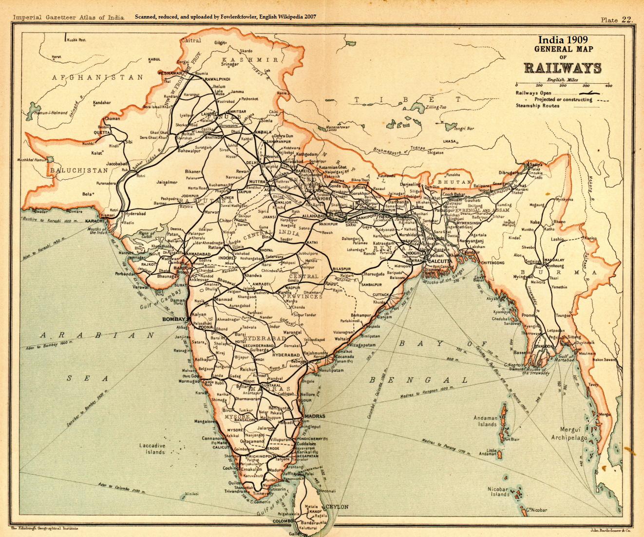
Kathgodam is a suburb of Haldwani city in the Nainital district of Uttarakhand state of India. It used to be a part of the twin township of Haldwani-Kathgodam, and is immediately north of Haldwani. It is one of the important collection centres for forest products obtained from Kumaon Himalayas. History Literally meaning ''timber depot'', Kathgodam was a small village in 1901 with a population of 375, though its importance grew rapidly after the railway line was extended here in late 19th century, after it reached Haldwani in 1884. It was previously called 'Chauhan Patta' as it is still recorded in the land records. The advent of the residence of Dan Singh Bist nearby in Beer Bhatti, Jeolikote, and his setting up his major timber depot as the 'Timber King of India' as Chauhan Patta, led to it being called 'Kathgodam'. Similarly, Beer Bhatti is called thus as it was previously an area where the British India Corporation Limited pursued a Beer Brewery until 1924 when Dan Singh Bist p ... [...More Info...] [...Related Items...] OR: [Wikipedia] [Google] [Baidu] |


