|
Malton Range
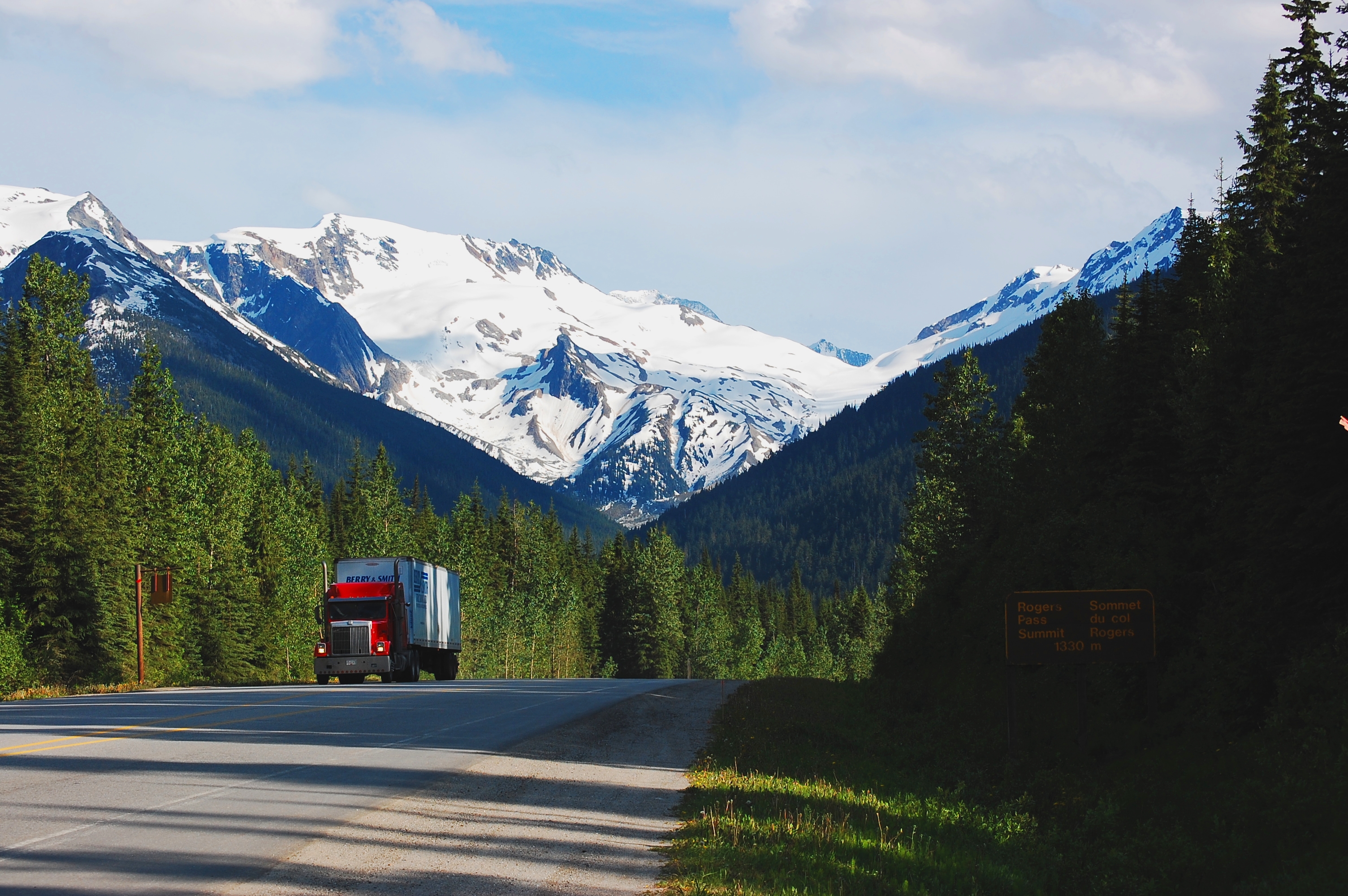
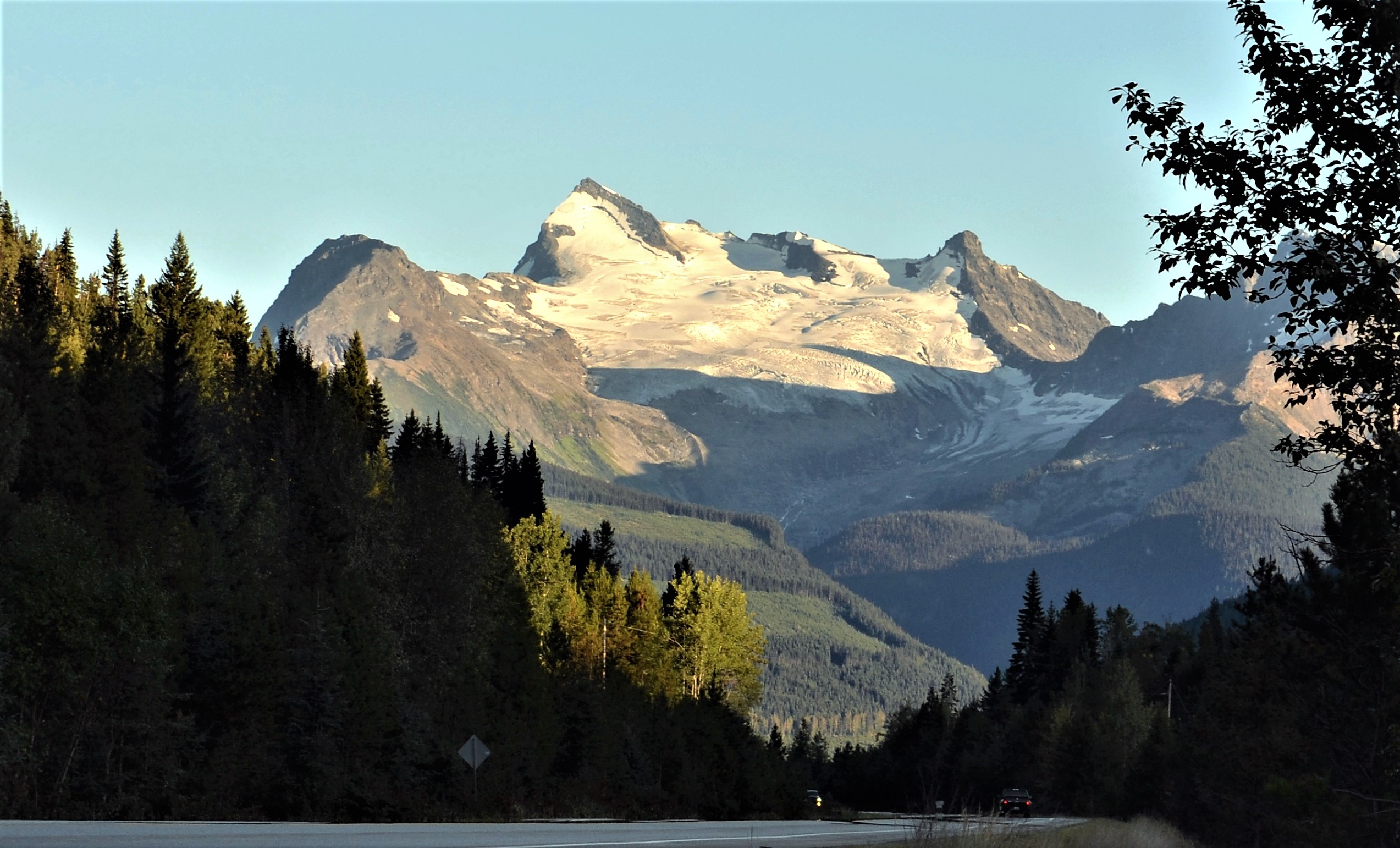
The Malton Range is a mountain range in southeastern British Columbia, Canada, located southwest of the Canoe Reach of Kinbasket Lake and east of the Albreda River, north of Dominion Mountain. It has an area of 451 km2 and is a subrange of the Monashee Mountains which in turn form part of the Columbia Mountains.Malton Range in the Canadian Mountain Encyclopedia See also * * * |
Mountain Range
A mountain range or hill range is a series of mountains or hills arranged in a line and connected by high ground. A mountain system or mountain belt is a group of mountain ranges with similarity in form, structure, and alignment that have arisen from the same cause, usually an orogeny. Mountain ranges are formed by a variety of geological processes, but most of the significant ones on Earth are the result of plate tectonics. Mountain ranges are also found on many planetary mass objects in the Solar System and are likely a feature of most terrestrial planets. Mountain ranges are usually segmented by highlands or mountain passes and valleys. Individual mountains within the same mountain range do not necessarily have the same geologic structure or petrology. They may be a mix of different orogenic expressions and terranes, for example thrust sheets, uplifted blocks, fold mountains, and volcanic landforms resulting in a variety of rock types. Major ranges Most geolo ... [...More Info...] [...Related Items...] OR: [Wikipedia] [Google] [Baidu] |
British Columbia
British Columbia (commonly abbreviated as BC) is the westernmost province of Canada, situated between the Pacific Ocean and the Rocky Mountains. It has a diverse geography, with rugged landscapes that include rocky coastlines, sandy beaches, forests, lakes, mountains, inland deserts and grassy plains, and borders the province of Alberta to the east and the Yukon and Northwest Territories to the north. With an estimated population of 5.3million as of 2022, it is Canada's third-most populous province. The capital of British Columbia is Victoria and its largest city is Vancouver. Vancouver is the third-largest metropolitan area in Canada; the 2021 census recorded 2.6million people in Metro Vancouver. The first known human inhabitants of the area settled in British Columbia at least 10,000 years ago. Such groups include the Coast Salish, Tsilhqotʼin, and Haida peoples, among many others. One of the earliest British settlements in the area was Fort Victoria, established ... [...More Info...] [...Related Items...] OR: [Wikipedia] [Google] [Baidu] |
Canada
Canada is a country in North America. Its ten provinces and three territories extend from the Atlantic Ocean to the Pacific Ocean and northward into the Arctic Ocean, covering over , making it the world's second-largest country by total area. Its southern and western border with the United States, stretching , is the world's longest binational land border. Canada's capital is Ottawa, and its three largest metropolitan areas are Toronto, Montreal, and Vancouver. Indigenous peoples have continuously inhabited what is now Canada for thousands of years. Beginning in the 16th century, British and French expeditions explored and later settled along the Atlantic coast. As a consequence of various armed conflicts, France ceded nearly all of its colonies in North America in 1763. In 1867, with the union of three British North American colonies through Confederation, Canada was formed as a federal dominion of four provinces. This began an accretion of provinces an ... [...More Info...] [...Related Items...] OR: [Wikipedia] [Google] [Baidu] |
Kinbasket Lake
Kinbasket Lake (or Kinbasket Reservoir) is a reservoir on the Columbia River in southeast British Columbia, north of the city of Revelstoke and the town of Golden. The reservoir was created by the construction of the Mica Dam. The lake includes two reaches, Columbia Reach (to the south) and Canoe Reach (to the north), referring to the river valleys flooded by the dam. To the north it almost reaches the town of Valemount in an impoundment of the Canoe River. To the south it reaches upstream the Columbia River towards the city of Golden. The original, smaller Kinbasket Lake was named in 1866 after Kinbasket, a chief of the Shuswap people. The modern, large lake was created after the completion of the Mica Dam in 1973, and was called McNaughton Lake (after Andrew McNaughton) until 1980. A number of small communities were inundated by the creation of Kinbasket Lake, and comprised a region known as the Big Bend Country, a subregion of the Columbia Country. Among these towns were Mi ... [...More Info...] [...Related Items...] OR: [Wikipedia] [Google] [Baidu] |
Albreda River
The Albreda River is a river in Thompson-Nicola Regional District and the Regional District of Fraser-Fort George in the Interior region of British Columbia, Canada. It is in the Pacific Ocean drainage basin and is a left tributary of the North Thompson River. The nearest communities to the mouth of the creek on British Columbia Highway 5 are Blue River south and Valemount north; the mouth of the river is at a point where the North Thompson River, arriving downstream from its source, turns 90° right and heads south. Course The creek begins at an unnamed confluence in the Regional District of Fraser-Fort George, heads southwest under British Columbia Highway 5 and the Canadian National Railway transcontinental main line (used by freight traffic and the Via Rail ''Canadian'' train), and turns southeast. The highway and railway line follow the Albreda River valley, crossing several times, for the balance of its course. The river passes into Thompson-Nicola Regional District a ... [...More Info...] [...Related Items...] OR: [Wikipedia] [Google] [Baidu] |
Dominion Mountain
The term ''Dominion'' is used to refer to one of several self-governing nations of the British Empire. "Dominion status" was first accorded to Canada, Australia, New Zealand, Newfoundland, South Africa, and the Irish Free State at the 1926 Imperial Conference through the Balfour Declaration of 1926, recognising Great Britain and the Dominions as "autonomous within the British Empire, equal in status, in no way subordinate one to another in any aspect of their domestic or external affairs, though united by a common allegiance to the Crown and freely associated as members of the British Commonwealth of Nations". Their full legislative independence was subsequently confirmed in the 1931 Statute of Westminster. Later India, Pakistan, and Ceylon (now Sri Lanka) also became dominions, for short periods of time. With the dissolution of the British Empire after World War II and the formation of the Commonwealth of Nations, it was decided that the term ''Commonwealth country'' should ... [...More Info...] [...Related Items...] OR: [Wikipedia] [Google] [Baidu] |
Monashee Mountains
The Monashee Mountains are a mountain range lying mostly in British Columbia, Canada, extending into the U.S. state of Washington. They stretch from north to south and from east to west. They are a sub-range of the Columbia Mountains. The highest summit is Mount Monashee, which reaches . The name is from the Scottish Gaelic ''monadh'' and ''sìth,'' meaning "moor" and "peace". Geography The Monashee Mountains are limited on the east by the Columbia River and Arrow Lakes, beyond which lie the Selkirk Mountains. They are limited on the west by the upper North Thompson River and the Interior Plateau. The northern end of the range is Canoe Mountain at the south end of the Robson Valley, near of the town of Valemount, British Columbia. The southern extremity of the range is in Washington State, where the Kettle River Range reaches the confluence of the Kettle River and the Columbia, and reaches west to the southern extremity of the Okanagan Highland (spelled Okanogan Highland in t ... [...More Info...] [...Related Items...] OR: [Wikipedia] [Google] [Baidu] |
Columbia Mountains
The Columbia Mountains are a group of mountain ranges along the upper Columbia River in British Columbia, Montana, Idaho and Washington. The mountain range covers 135,952 km² (52,491 sq mi). The range is bounded by the Rocky Mountain Trench on the east, and the Kootenai River on the south; their western boundary is the edge of the Interior Plateau. Seventy-five percent of the range is located in Canada and the remaining twenty-five percent in the United States; American geographic classifications place the Columbia Mountains as part of the Rocky Mountains complex, but this designation does not apply in Canada (despite a British Columbia government tourism campaign to rebrand their southern portion as the "Kootenay Rockies"). Mount Sir Sandford is the highest mountain in the range, reaching . Mountain ranges The Columbia Mountains are made up of four large ranges containing many subranges: * Cariboo Mountains ** Lunn Icefield ** Mowdish Range ** Premier Range ** Vimy ... [...More Info...] [...Related Items...] OR: [Wikipedia] [Google] [Baidu] |
Canoe Mountain (British Columbia)
Canoe Mountain is a 2,651-meter-elevation (8,698-foot) mountain summit located in British Columbia, Canada. Description Canoe Mountain is situated 16 kilometers (10 miles) south-southeast of the community of Valemount, at the northern end of the Malton Range which is a subset of the Monashee Mountains. The British Columbia Highway 5, Southern Yellowhead Highway traverses the western base of the mountain. Precipitation Surface runoff, runoff from Canoe Mountain drains west into Camp Creek which is tributary of the Canoe River (British Columbia), Canoe River, as well as east into Kinbasket Lake. Topographic relief is significant as the summit rises 1,920 meters (6,300 feet) above the lake in five kilometers (3 miles). The steep north aspect of the mountain holds a cirque, whereas an unpaved fire service road climbs the modest west slope to a telecommunications tower at the top. The mountain's long-established local name was officially adopted 16 November 1976 by the Geographical Name ... [...More Info...] [...Related Items...] OR: [Wikipedia] [Google] [Baidu] |
Mount Albreda
Mount Albreda is a mountain located in British Columbia, Canada. Description Mount Albreda, elevation , is the fifth-highest summit in the Monashee Mountains. Situated immediately east of the Albreda River, this prominent peak is visible from Highway 5. Precipitation runoff and glacier meltwater from Mount Albreda drains into tributaries of the Albreda River. Topographic relief is significant as the summit rises 1,850 meters (6,070 feet) above Dominion Creek in three kilometers (1.9 mile). The nearest higher neighbor is Dominion Mountain, to the south-southeast. History Mount Albreda is named in association with Albreda River, which was named in 1863 by Dr. Walter Cheadle and Viscount Milton for Milton's aunt, Lady Albreda Elizabeth Wentworth-Fitzwilliam (1829–1891), youngest daughter of the 5th Earl Fitzwilliam. Cheadle originally named this prominent glacier-clad peak "Mount Milton" after Viscount Milton, but a mapmaking error resulted in the present circu ... [...More Info...] [...Related Items...] OR: [Wikipedia] [Google] [Baidu] |
List Of Mountain Ranges
This is a list of mountain ranges on Earth and a few other astronomical bodies. First, the highest and longest mountain ranges on Earth are listed, followed by more comprehensive alphabetical lists organized by continent. Ranges in the oceans and on other celestial bodies are listed afterwards. Mountain ranges on planet Earth By size Note 1: A peak included in the "Eastern Pamirs" more often than in the Kunlun Mountains, as Kongur Tagh and the Kunlun range are ''separated'' by the large Yarkand River valley; no valley of such significance separates the Pamirs and Kongur Tagh, just political boundaries. Note 2: Part of Hindu Kush-Himalayas region All of the Asian ranges above have been formed in part over the past 35 to 55 million years by the collision between the Indian Plate and Eurasian Plate. The Indian Plate is still particularly mobile and these mountain ranges continue to rise in elevation every year and this page may need to be updated in a few years; of these th ... [...More Info...] [...Related Items...] OR: [Wikipedia] [Google] [Baidu] |


