|
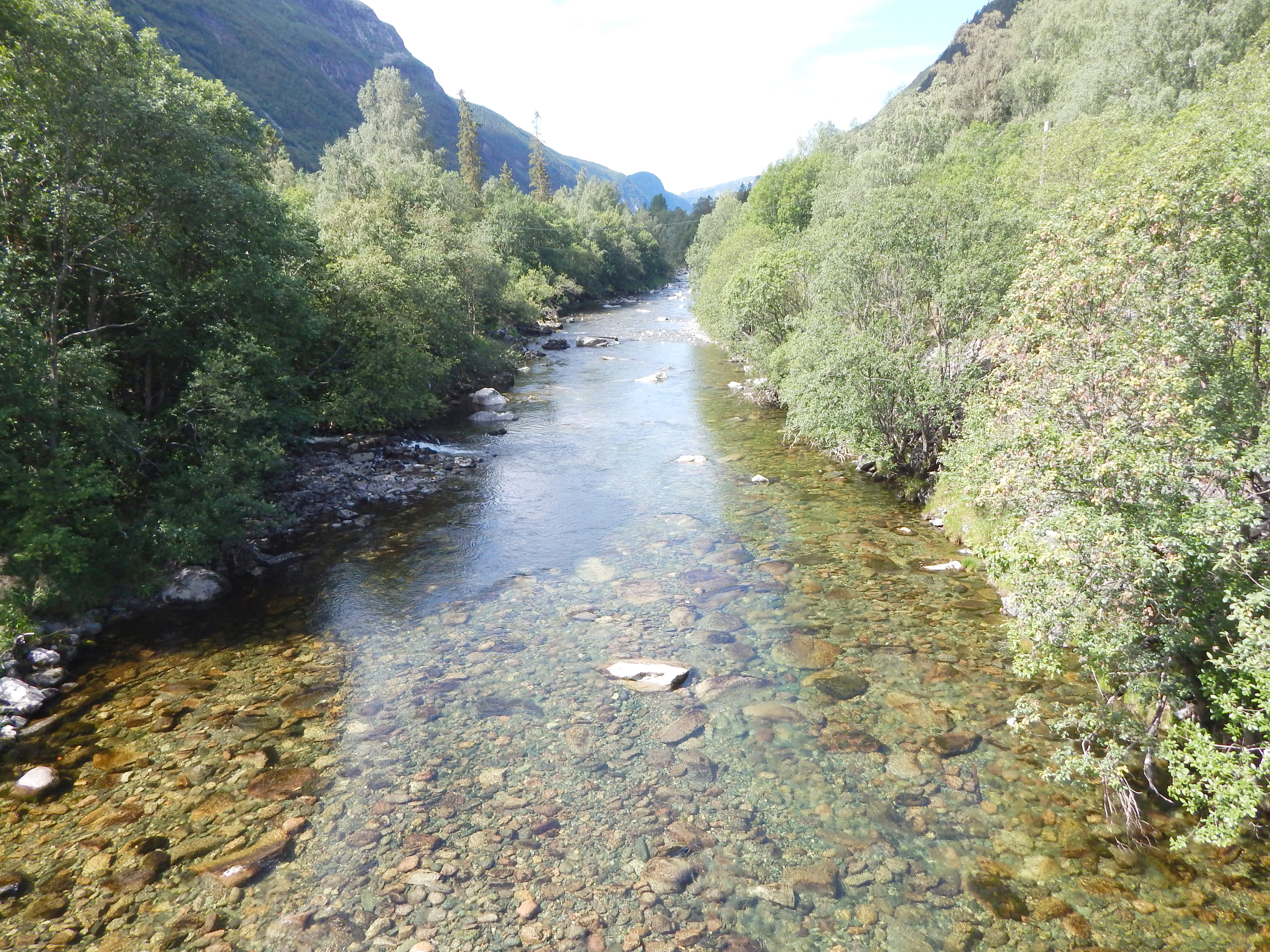
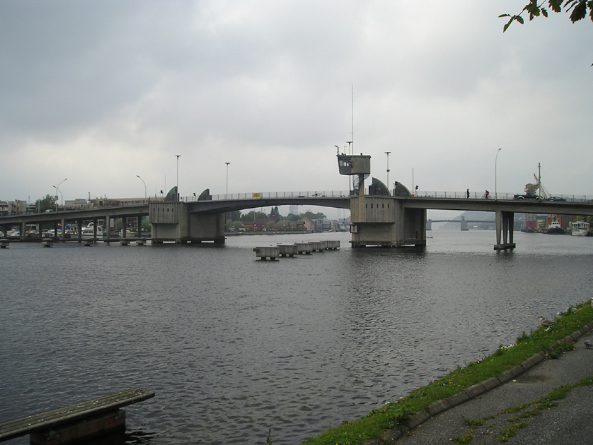
Måna
The Måna or Måne is a river in Tinn in Vestfold og Telemark, Norway; it flows from Møsvatn through Vestfjorddalen and Rjukan to Vestfjorden in Lake Tinn. It is part of the Skiensvassdraget drainage basin. The river has several power stations, Vemork and Såheim being the largest. It also feeds to Rjukan Falls Rjukan Falls ( no, Rjukanfossen) is a waterfall of 104 metres in the western part of the Westfjord valley in Tinn, a municipality in the county of Vestfold og Telemark, Norway, west of the industrial town Rjukan. The waterfall is a part of the Må ..., that is released once a year. Rivers of Vestfold og Telemark Tinn {{Norway-river-stub ... [...More Info...] [...Related Items...] OR: [Wikipedia] [Google] [Baidu] |
Måna Ved Dale
The Måna or Måne is a river in Tinn in Vestfold og Telemark, Norway; it flows from Møsvatn through Vestfjorddalen and Rjukan to Vestfjorden in Lake Tinn. It is part of the Skiensvassdraget drainage basin. The river has several power stations, Vemork and Såheim being the largest. It also feeds to Rjukan Falls Rjukan Falls ( no, Rjukanfossen) is a waterfall of 104 metres in the western part of the Westfjord valley in Tinn, a municipality in the county of Vestfold og Telemark, Norway, west of the industrial town Rjukan. The waterfall is a part of the Må ..., that is released once a year. Rivers of Vestfold og Telemark Tinn {{Norway-river-stub ... [...More Info...] [...Related Items...] OR: [Wikipedia] [Google] [Baidu] |
Møsvatn
Møsvatn (or Møsvann) is the tenth-largest lake in Norway with a surface area of 78.31 km2. It lies primarily Møsstrond, Vinje in Vestfold og Telemark. The lake lies in the watershed of the Skien river (''Skiensvassdrag'') and discharges into the Måna river. Along the shores of the lake, many traces of Stone Age settlers can be found. It is 919 meters above sea level and regulated to use for hydroelectric production. Some of Norway's highest mountain farms can be found here as well. On 19 November 1942, as part of the efforts to sabotage German heavy water production, gliderborne troops were to land on the frozen lake Møsvatn near the Vemork hydroelectric plant, run by Norsk Hydro, near Rjukan. This effort was not successful; however ultimately the Norwegians stopped the heavy water production activities and helped limit the German nuclear weapons research program. The museum and visitor's centre Hardangervidda Natursenter The Hardangervidda Natursenter is a mu ... [...More Info...] [...Related Items...] OR: [Wikipedia] [Google] [Baidu] |
Rjukan Falls
Rjukan Falls ( no, Rjukanfossen) is a waterfall of 104 metres in the western part of the Westfjord valley in Tinn, a municipality in the county of Vestfold og Telemark, Norway, west of the industrial town Rjukan. The waterfall is a part of the Måne river, earlier a major tourist attraction, being one of the first floodlighted waterfalls by electricity produced by the same waterfall. In 1905 Rjukan Falls was built out to produce hydro electrical power for the saltpetre production when Norsk Hydro was established. , retrieved 2 April 2013 The name The name ( |
Tinn
Tinn is a municipality in Telemark in the county of Vestfold og Telemark in Norway. It is part of the traditional regions of Upper Telemark and Øst-Telemark. The administrative centre of the municipality is the town of Rjukan. The parish of ''Tin(d)'' was established as a municipality on 1 January 1838 (see formannskapsdistrikt). The area of Hovin was separated from the municipality of Tinn in 1860, but it was merged back into the municipality of Tinn on 1 January 1964. Krossobanen is the oldest aerial tramway in Northern Europe. It was built in 1928 as a gift from Norsk Hydro. There is a museum and Hardangervidda National Park center at the lake Møsvatn close to Tinn. General information Name The Old Norse form of the name was ''Tinnr''. It is probably the old name of the Lake Tinn, the central lake in the municipality. The meaning of the name is unknown. Coat-of-arms The coat-of-arms is from modern times. They were granted on 18 November 1994. The arms show five blue d ... [...More Info...] [...Related Items...] OR: [Wikipedia] [Google] [Baidu] |
Vestfjorddalen
''See also Vestfjorddalen (Svalbard).'' Vestfjorddalen is a valley in Tinn, Norway, stretching from Lake Tinn westwards past Rjukan, Vemork and Rjukan Falls to Møsvatn. The Måna The Måna or Måne is a river in Tinn in Vestfold og Telemark, Norway; it flows from Møsvatn through Vestfjorddalen and Rjukan to Vestfjorden in Lake Tinn. It is part of the Skiensvassdraget drainage basin A drainage basin is an area of l ... River runs through the entire valley. Valleys of Vestfold og Telemark Tinn {{VestfoldTelemark-geo-stub ... [...More Info...] [...Related Items...] OR: [Wikipedia] [Google] [Baidu] |
Skiensvassdraget
The Skien watershed is the third largest watershed of Norway after those of the Glomma and the Drammen rivers. The catchment area is , and the maximum length is . The Skien watershed includes rivers which feed Lake Norsjø above Skien; * Vinje-Tokke watershed, which includes lakes Totak, Bandak, Kviteseidvatn and Flåvatn. Tokke River rises from Lake Totak in Vinje. * Bøelva watershed, which includes lakes Sundsbarmvatn and Seljordsvatn. Bøelva flows into Lake Norsjø at Årnesbukta. * Tinnelva watershed, which includes the lakes Møsvatn, Kalhovdfjorden, Lake Tinn and Heddalsvatn as well as the Hjartdøla River. The Skien River (''Skienselva'') begins in Skotfoss in Skien, at the Telemark Canal's first lock, and runs through Porsgrunn to the mouth of the river at Frierfjord at Norsk Hydro's factory complex. The Skien watershed is heavily regulated for power production and large parts are channeled. The Telemark Canal connects Skien to Dalen at the delta where Tokke River ... [...More Info...] [...Related Items...] OR: [Wikipedia] [Google] [Baidu] |
Vemork
Vemork is a hydroelectric power plant outside Rjukan in Tinn, Norway. The plant was built by Norsk Hydro and opened in 1911, its main purpose being to fix nitrogen for the production of fertilizer. At opening, it was the world's largest power plant with a capacity of 108 MW. Vemork was later the site of the first plant in the world to mass-produce heavy water developing from the hydrogen production then used for the Haber process. During World War II, Vemork was the target of Norwegian heavy water sabotage operations. The heavy water plant was closed in 1971, and in 1988 the power station became the Norwegian Industrial Workers Museum. A new power plant was opened in 1971 and is located inside the mountain behind the old power plant. History In 1906, the then newly founded Norsk hydro-elektrisk Kvælstofaktieselskab started construction of what was to be the world's largest hydroelectric power plant. The 108-MW Vemork power station at the Rjukan waterfall was the world's lar ... [...More Info...] [...Related Items...] OR: [Wikipedia] [Google] [Baidu] |
Drainage Basin
A drainage basin is an area of land where all flowing surface water converges to a single point, such as a river mouth, or flows into another body of water, such as a lake or ocean. A basin is separated from adjacent basins by a perimeter, the '' drainage divide'', made up of a succession of elevated features, such as ridges and hills. A basin may consist of smaller basins that merge at river confluences, forming a hierarchical pattern. Other terms for a drainage basin are catchment area, catchment basin, drainage area, river basin, water basin, and impluvium. In North America, they are commonly called a watershed, though in other English-speaking places, "watershed" is used only in its original sense, that of a drainage divide. In a closed drainage basin, or endorheic basin, the water converges to a single point inside the basin, known as a sink, which may be a permanent lake, a dry lake, or a point where surface water is lost underground. Drainage basins are similar ... [...More Info...] [...Related Items...] OR: [Wikipedia] [Google] [Baidu] |
Rjukan
Rjukan () is a town and the administrative centre of Tinn municipality in Telemark, Norway. It is situated in Vestfjorddalen, between Møsvatn and Lake Tinn, and got its name after Rjukan Falls west of the town. The Tinn municipality council granted township status for Rjukan in 1996. The town has 3,386 inhabitants (January 2007). History Rjukan was formerly a significant industrial centre in Telemark, and the town was established between 1905 and 1916, when Norsk Hydro started saltpetre (fertilizer) production there. Rjukan was chosen because Rjukan Falls, a 104-metre waterfall, provided easy means of generating large quantities of electricity. The man with the idea to use the Rjukan falls was Sam Eyde, the founder of Hydro. It is estimated that he, together with A/S Rjukanfoss (later Norsk Hydro), used about two times the national budget of Norway to build the Rjukan power station as well as much of the surrounding town. Between 1907 and 1911, Norsk Hydro built what was at the ... [...More Info...] [...Related Items...] OR: [Wikipedia] [Google] [Baidu] |
Lake Tinn
A lake is an area filled with water, localized in a basin, surrounded by land, and distinct from any river or other outlet that serves to feed or drain the lake. Lakes lie on land and are not part of the ocean, although, like the much larger oceans, they do form part of the Earth's water cycle. Lakes are distinct from lagoons, which are generally coastal parts of the ocean. Lakes are typically larger and deeper than ponds, which also lie on land, though there are no official or scientific definitions. Lakes can be contrasted with rivers or streams, which usually flow in a channel on land. Most lakes are fed and drained by rivers and streams. Natural lakes are generally found in mountainous areas, rift zones, and areas with ongoing glaciation. Other lakes are found in endorheic basins or along the courses of mature rivers, where a river channel has widened into a basin. Some parts of the world have many lakes formed by the chaotic drainage patterns left over from the last ic ... [...More Info...] [...Related Items...] OR: [Wikipedia] [Google] [Baidu] |


.jpg)
