|
Munich–Treuchtlingen Railway
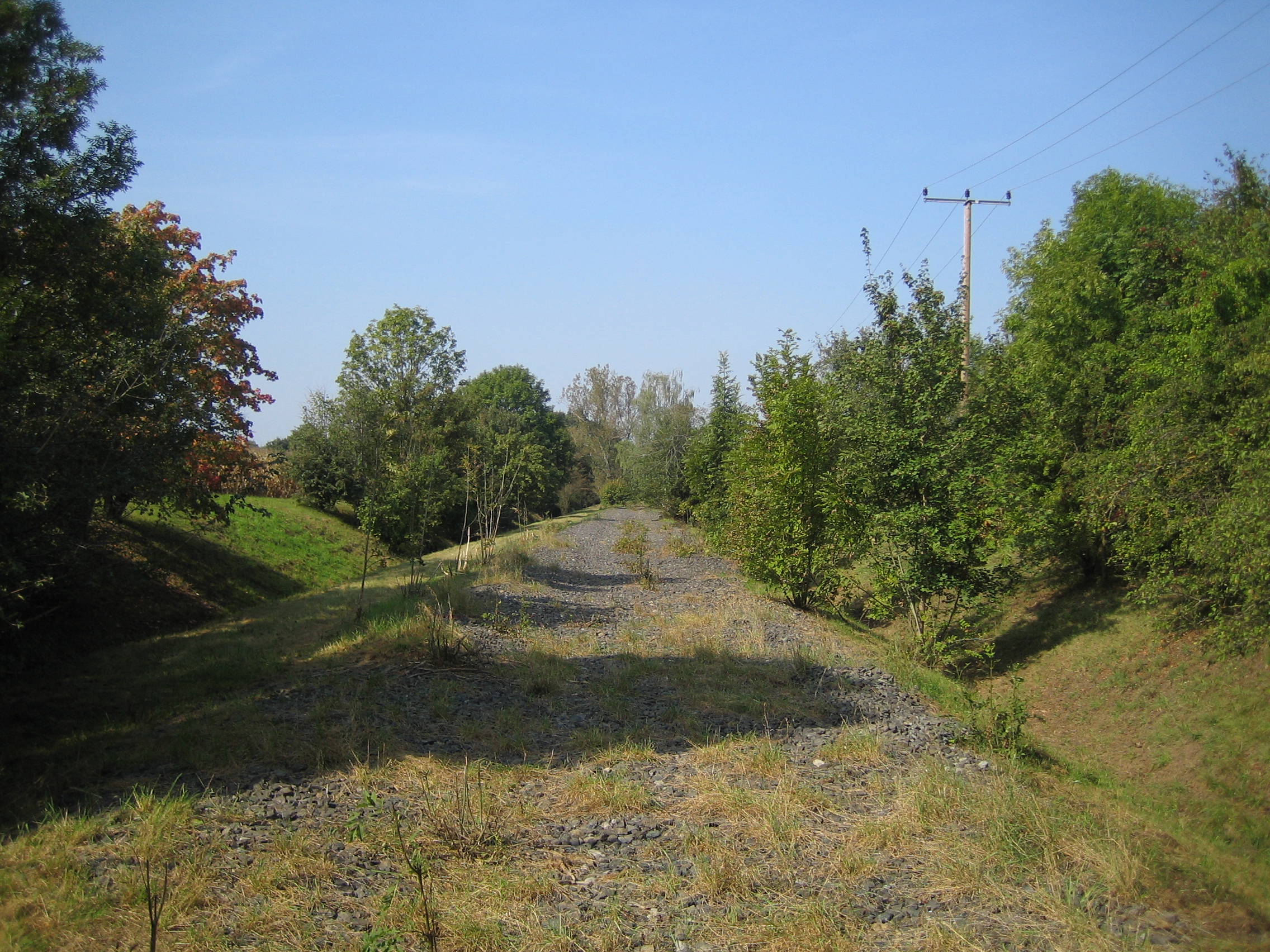
The Munich–Treuchtlingen railway, also known as the Altmühlbahn (Altmühl Railway), is a railway line in the German state of Bavaria. As part of the new and upgraded Nuremberg–Ingolstadt–Munich line project, the Munich-Ingolstadt section is gradually being upgraded for a line speed of up to . History The history of the Altmühl Railway starts in 1833, when the former politician and economist Friedrich List unveiled his plans for a Germany-wide railway network. Even then he envisaged a direct connection from Munich via Ingolstadt to Nuremberg. During the next 25 years, these plans were considered by the council of the town of Eichstätt, in particular by Mayor Fehlner. They promised economic recovery mainly due to increased freight traffic, in particular from the quarries at Solnhofen and Eichstätt and the local steelworks. Therefore, Eichstätt, along with the other communities and businesses along the proposed route, established a committee to build the Altmühl railway, ... [...More Info...] [...Related Items...] OR: [Wikipedia] [Google] [Baidu] |
Heavy Rail
Various terms are used for passenger railway lines and equipment; the usage of these terms differs substantially between areas: Rapid transit A rapid transit system is an electric railway characterized by high speed (~) and rapid acceleration. It uses passenger railcars operating singly or in multiple unit trains on fixed rails. It operates on separate right-of-way (transportation), rights-of-way from which all other vehicular and foot traffic are excluded (i.e. is fully grade separation, grade-separated from other traffic). The APTA definition also includes the use sophisticated railway signalling, signaling systems, and railway platform height, high platform loading. Originally, the term ''rapid transit'' was used in the 1800s to describe new forms of quick urban public transportation that had a right-of-way separated from street traffic. This set rapid transit apart from horsecars, trams, streetcars, bus, omnibuses, and other forms of public transport. A variant of the ter ... [...More Info...] [...Related Items...] OR: [Wikipedia] [Google] [Baidu] |
Munich North Ring
Munich North Ring (), section of which are only used by freight trains, is a railway bypass on the northern edge of the Bavarian state capital of Munich. The line’s importance for freight also partly arises from its access to the Munich North marshalling yard (''Rangierbahnhof München Nord''). Route The North Ring begins at Olching station and initially runs north from Groebenzell to the Munich district of Allach. There are links with the Munich-Ingolstadt line before the line passes Munich North marshalling yard. Near the marshalling yard's exit tracks there is a connecting curve to Moosach on the line to Laim. Similarly, there is a connection to the Munich–Regensburg railway running to the north. To the east of the marshalling yard, the line runs along the northern edge of the Olympic Village. Passenger services ran to the former München Olympiastadion station, which is located on the line here, during the 1972 Summer Olympics. There are two freight yards on the co ... [...More Info...] [...Related Items...] OR: [Wikipedia] [Google] [Baidu] |
Pfaffenhofen An Der Ilm
Pfaffenhofen an der Ilm (, ; Central Bavarian: ''Pfahofa an da Uim'') is a municipality in Bavaria, Germany, capital of the district Pfaffenhofen. It is located on the river Ilm, and had a population of 23,282 in 2004. As of a press release in October 2011 from the UN-backed annual International Awards for Liveable Communities (LivCom), Pfaffenhofen an der Ilm was saluted by judges for the quality of its environmental best practice. The Bavarian town of 23,000 people was also named the most liveable city with a population between 20,000-75,000. The elite group of cities fulfilled the awards’ range of key criteria involving environmental best practice, healthy lifestyle of citizens, community involvement as well as arts and cultural heritage. History Evidence of Bronze Age settlements have been found in Pfaffenhofen, with burial mounds found in forest areas north of the town. Historians believe that monks from Ilmmünster Abbey built the Pfaffenhöfe near Altenstadt in the ... [...More Info...] [...Related Items...] OR: [Wikipedia] [Google] [Baidu] |
Reichertshausen
Reichertshausen is a municipality in the district of Pfaffenhofen in Bavaria in Germany and is near the A9 and between Munich and Ingolstadt. Geography The Bundesstrasse 13 (B13) runs through Reichertshausen. Also the river Ilm, which gives the valley (Ilmtal) its name and is a tributary to the Abens The Abens () is a river in Bavaria, Germany, and a right-bank tributary of the Danube. Its source is near Au in der Hallertau. Some long, the Abens flows generally northward through the small towns of Au in der Hallertau, Rudelzhausen, Mainbu ..., runs through the town. Districts * Bärnhausen * Grafing * Gründholm * Gurnöbach * Haunstetten * Kreut * Langwaid * Lausham * Salmading * Oberpaindorf * Paindorf * Pischelsdorf * Steinkirchen References Pfaffenhofen (district) {{Pfaffenhofendistrict-geo-stub ... [...More Info...] [...Related Items...] OR: [Wikipedia] [Google] [Baidu] |
Petershausen Station
Petershausen station is a railway station in the municipality of Petershausen, located in the district of Dachau in Upper Bavaria, Germany Germany, officially the Federal Republic of Germany, is a country in Central Europe. It lies between the Baltic Sea and the North Sea to the north and the Alps to the south. Its sixteen States of Germany, constituent states have a total popu .... References External links {{Munich transport network Munich S-Bahn stations Railway stations in Bavaria Railway stations in Germany opened in 1867 1867 establishments in Bavaria Buildings and structures in Dachau (district) ... [...More Info...] [...Related Items...] OR: [Wikipedia] [Google] [Baidu] |
Glonn (Amper)
The Glonn is a river of Upper Bavaria, Bavaria, Germany. The Glonn is long. It rises southeast of Mittelstetten in the district of Fürstenfeldbruck. It is the main tributary of the Amper; at Allershausen near Freising it discharges from the left into the Amper. The Glonn flows through an agriculturally used area in the triangle between Augsburg, Freising and Dachau. Larger places in its course are Odelzhausen, Erdweg, Markt Indersdorf, Weichs, Petershausen and Hohenkammer. Tributaries * Kollbach * Röhrersbach ''(left)'' * Tegernbach ''(left)'' * Rettenbach ''(left)'' * Schweinbach ''(right)'' * Umbach ''(left)'' * Rohrbach ''(right)'' * Steinfurter Bach ''(left)'' * Steindlbach ''(right)'' * Zeitlbach ''(left)'' * Riensbach ''(right)'' * Dorfbach ''(right)'' * Eichhofner Bach or Albersbach, resp. ''(left)'' * Rothbach ''(right)'' * Gittersbach ''(left)'' * Langenpettenbach ''(left)'' * Ebersbach * Klausnerbach See also *List of rivers of Bavaria A list of rivers o ... [...More Info...] [...Related Items...] OR: [Wikipedia] [Google] [Baidu] |
Esterhofen
Vierkirchen is a municipality in the district of Dachau in Bavaria in Germany. Meaning of town name The name () is a misnomer. There were never four churches in the village, only one (St. Jakobus). The name is most-likey a variation of the old-Bavarian dialect in the Middle Ages. Various names of ''Feohtkiricha'', ''Feochtkyricha'', ''Fichtkiriha'' and ''Viechtkirchen'' can be found in old church archives. These names suggest the original spruce wood () church as the namesake. History The boundaries of a parish in Vierkirchen were said to have been established around AD 779 under Bishop Aribo of Freising. Vierkirchen is first mentioned in a church record in 820 AD. A layman named Reginhelm comes to Vierkirchen, where Bishop Hitto von Freising is apparently holding a large meeting. This Reginhelm hands over the property of his dying uncle Kaganhart to the bishop. At the same time he transfers the little son of Kaganhart to the bishop for protection and for spiritual education ... [...More Info...] [...Related Items...] OR: [Wikipedia] [Google] [Baidu] |
Vierkirchen-Esterhofen Station
Vierkirchen-Esterhofen station is a railway station in the municipality of Vierkirchen, located in the Dachau district in Upper Bavaria, Germany. Renaming The station was renamed on 28 May 2000 from ''Esterhofen'' to ''Vierkirchen-Esterhofen''. Esterhofen is a district of the municipality A municipality is usually a single administrative division having municipal corporation, corporate status and powers of self-government or jurisdiction as granted by national and regional laws to which it is subordinate. The term ''municipality' ... of Vierkirchen. References External links {{Munich transport network Munich S-Bahn stations Railway stations in Bavaria Railway stations in Germany opened in 1898 1898 establishments in Bavaria Buildings and structures in Dachau (district) ... [...More Info...] [...Related Items...] OR: [Wikipedia] [Google] [Baidu] |
Röhrmoos
Röhrmoos is a municipality in the district of Dachau in Bavaria in Germany. It is located ca. 25 km northwest of München. The community is located between the Amper and Glonn valleys. History Röhrmoos is first mentioned by name in AD 774. The original name was 'Roraga Mussea' which roughly translates as 'marshy swamp with reeds'. The document of 774 describes a wealthy man named Onolf who owned property in 'Rorage Mussea'. Onolf's son was murdered in a clan feud, so Onolf donated a chapel to the church in Freising to help in the salvation of his son's soul. A parish church is first recorded in 1424, (St. John the Baptist). Röhrmoos later became part of the Dachau Regional Court of the Electorate of Bavaria. It then became a municipality in the Bavarian Reforms of 1818. The first railway between Munich and Ingolstadt was built through Röhrmoos in 1866/67. There was a serious railway accident in Röhrmoos on July 7, 1889 when 10 people were killed. Near the end of Wor ... [...More Info...] [...Related Items...] OR: [Wikipedia] [Google] [Baidu] |
Röhrmoos Station
Röhrmoos station is a railway station in the municipality of Röhrmoos, located in the Dachau district in Upper Bavaria, Germany Germany, officially the Federal Republic of Germany, is a country in Central Europe. It lies between the Baltic Sea and the North Sea to the north and the Alps to the south. Its sixteen States of Germany, constituent states have a total popu .... References External links {{Munich transport network Munich S-Bahn stations Railway stations in Bavaria Railway stations in Germany opened in 1867 1867 establishments in Bavaria Buildings and structures in Dachau (district) ... [...More Info...] [...Related Items...] OR: [Wikipedia] [Google] [Baidu] |
Hebertshausen Station
Hebertshausen station is a railway station in the municipality of Hebertshausen, located in the Dachau district in Upper Bavaria, Germany. Renaming The station was renamed on 28 May 2000 from ''Walpertshofen'' to ''Hebertshausen''. Walpertshofen is a district of the municipality of Hebertshausen Hebertshausen is a municipality in the district of Dachau in Bavaria in Germany Germany, officially the Federal Republic of Germany, is a country in Central Europe. It lies between the Baltic Sea and the North Sea to the north and the Alp .... References External links {{Munich transport network Munich S-Bahn stations Railway stations in Bavaria Railway stations in Germany opened in 1891 1891 establishments in Bavaria Buildings and structures in Dachau (district) ... [...More Info...] [...Related Items...] OR: [Wikipedia] [Google] [Baidu] |
Hebertshausen
Hebertshausen is a municipality in the district of Dachau in Bavaria in Germany Germany, officially the Federal Republic of Germany, is a country in Central Europe. It lies between the Baltic Sea and the North Sea to the north and the Alps to the south. Its sixteen States of Germany, constituent states have a total popu .... References Dachau (district) {{Dachaudistrict-geo-stub ... [...More Info...] [...Related Items...] OR: [Wikipedia] [Google] [Baidu] |


