|
Moutohora Branch
The Moutohora Branch was a branch line railway that formed part of New Zealand's national rail network in Poverty Bay in the North Island of New Zealand. The branch ran for 78 km approximately North-West from Gisborne into the rugged and steep Raukumara Range to the terminus at Moutohora. Construction started in 1900, and the line was opened to Moutohora on 26 November 1917. Built to the New Zealand standard gauge the line was originally intended to become part of a railway to Auckland via Rotorua, and later as part of an East Coast Main Trunk Railway running from Gisborne to Pokeno by way of Ōpōtiki, Taneatua, Tauranga, and Paeroa. This comprehensive scheme never came to pass, and the branch line it subsequently became was closed in March 1959. The branch had four names during its lifetime. Initially, it was authorised as a Gisborne to Rotorua line and labelled as such in the Public Works Statement until 1910. From then, while isolated from the rest of the NZR ... [...More Info...] [...Related Items...] OR: [Wikipedia] [Google] [Baidu] |
Branch Line
A branch line is a phrase used in railway terminology to denote a secondary railway line which branches off a more important through route, usually a main line. A very short branch line may be called a spur line. Industrial spur An industrial spur is a type of secondary track used by railroads to allow customers at a location to load and unload railcars without interfering with other railroad operations. Industrial spurs can vary greatly in length and railcar capacity depending on the requirements of the customer the spur is serving. In heavily industrialized areas, it is not uncommon for one industrial spur to have multiple sidings to several different customers. Typically, spurs are serviced by local trains responsible for collecting small numbers of railcars and delivering them to a larger yard, where these railcars are sorted and dispatched in larger trains with other cars destined to similar locations. Because industrial spurs generally have less capacity and traffic t ... [...More Info...] [...Related Items...] OR: [Wikipedia] [Google] [Baidu] |
New Zealand Geographic Board
The New Zealand Geographic Board Ngā Pou Taunaha o Aotearoa (NZGB) was established by the New Zealand Geographic Board Act 1946, which has since been replaced by the New Zealand Geographic Board (Ngā Pou Taunaha o Aotearoa) Act 2008. Although an independent institution, it is responsible to the Minister for Land Information. The board has authority over geographical and hydrographic names within New Zealand and its territorial waters. This includes the naming of small urban settlements, localities, mountains, lakes, rivers, waterfalls, harbours and natural features and may include researching local Māori names. It has named many geographical features in the Ross Sea region of Antarctica. It has no authority to alter street names (a local body responsibility) or the name of any country. The NZGB secretariat is part of Toitū Te Whenua Land Information New Zealand (LINZ) and provides the board with administrative and research assistance and advice. The New Zealand Geograph ... [...More Info...] [...Related Items...] OR: [Wikipedia] [Google] [Baidu] |
Otoko, New Zealand
Otoko is a small settlement west of Te Karaka in the Gisborne District of New Zealand's North Island. State Highway 2 runs through Otoko on its way from Ōpōtiki to Gisborne. History Artist Peter Williams farmed in the area in the 1960s. The community was affected by flooding and frosts in August 2016. It also briefly relied on a generator for power after a plane crash in December 2016. A man's body was found in Otoko in July 2019. Local roads were upgraded in 2020 with funding from the Provincial Growth Fund. Parks Otoko Walkway is a conservation reserve and walkway, owned and operated by the Department of Conservation An environmental ministry is a national or subnational government agency politically responsible for the environment and/or natural resources. Various other names are commonly used to identify such agencies, such as Ministry of the Environment .... References {{Gisborne District Populated places in the Gisborne District ... [...More Info...] [...Related Items...] OR: [Wikipedia] [Google] [Baidu] |
Viaducts
A viaduct is a specific type of bridge that consists of a series of arches, piers or columns supporting a long elevated railway or road. Typically a viaduct connects two points of roughly equal elevation, allowing direct overpass across a wide valley, road, river, or other low-lying terrain features and obstacles. The term ''viaduct'' is derived from the Latin ''via'' meaning "road", and ''ducere'' meaning "to lead". It is a 19th-century derivation from an analogy with ancient Roman aqueducts. Like the Roman aqueducts, many early viaducts comprised a series of arches of roughly equal length. Over land The longest in antiquity may have been the Pont Serme which crossed wide marshes in southern France. At its longest point, it measured 2,679 meters with a width of 22 meters. Viaducts are commonly used in many cities that are railroad hubs, such as Chicago, Birmingham, London and Manchester. These viaducts cross the large railroad yards that are needed for freight trains there, a ... [...More Info...] [...Related Items...] OR: [Wikipedia] [Google] [Baidu] |
Earthworks (engineering)
Earthworks are engineering works created through the processing of parts of the earth's surface involving quantities of soil or unformed rock. Shoring structures An incomplete list of possible temporary or permanent geotechnical shoring structures that may be designed and utilised as part of earthworks: *Mechanically stabilized earth *Earth anchor * Cliff stabilization *Grout curtain *Retaining wall *Slurry wall *Soil nailing *Tieback (geotechnical) *Trench shoring * Caisson *Dam *Gabion *Ground freezing Gallery File:Mechanically stabilized earth diagram.gif, Mechanically stabilized earth File:GroutCurtain.gif, Grout curtain File:Retaining Wall Type Function.jpg, Retaining wall types File:Soil Nail.jpg, Soil nailing File:FEMA - 6044 - Photograph by Larry Lerner taken on 03-15-2002 in New York.jpg, Tieback File:Sbh s600.JPG, Trench shoring File:Caisson Schematic.svg, Caisson File:Vyrnwy dam.JPG, Dam File:Gabion 040.jpg, Gabions File:Cross section of a ground freezing pipe as u ... [...More Info...] [...Related Items...] OR: [Wikipedia] [Google] [Baidu] |
Tunnel
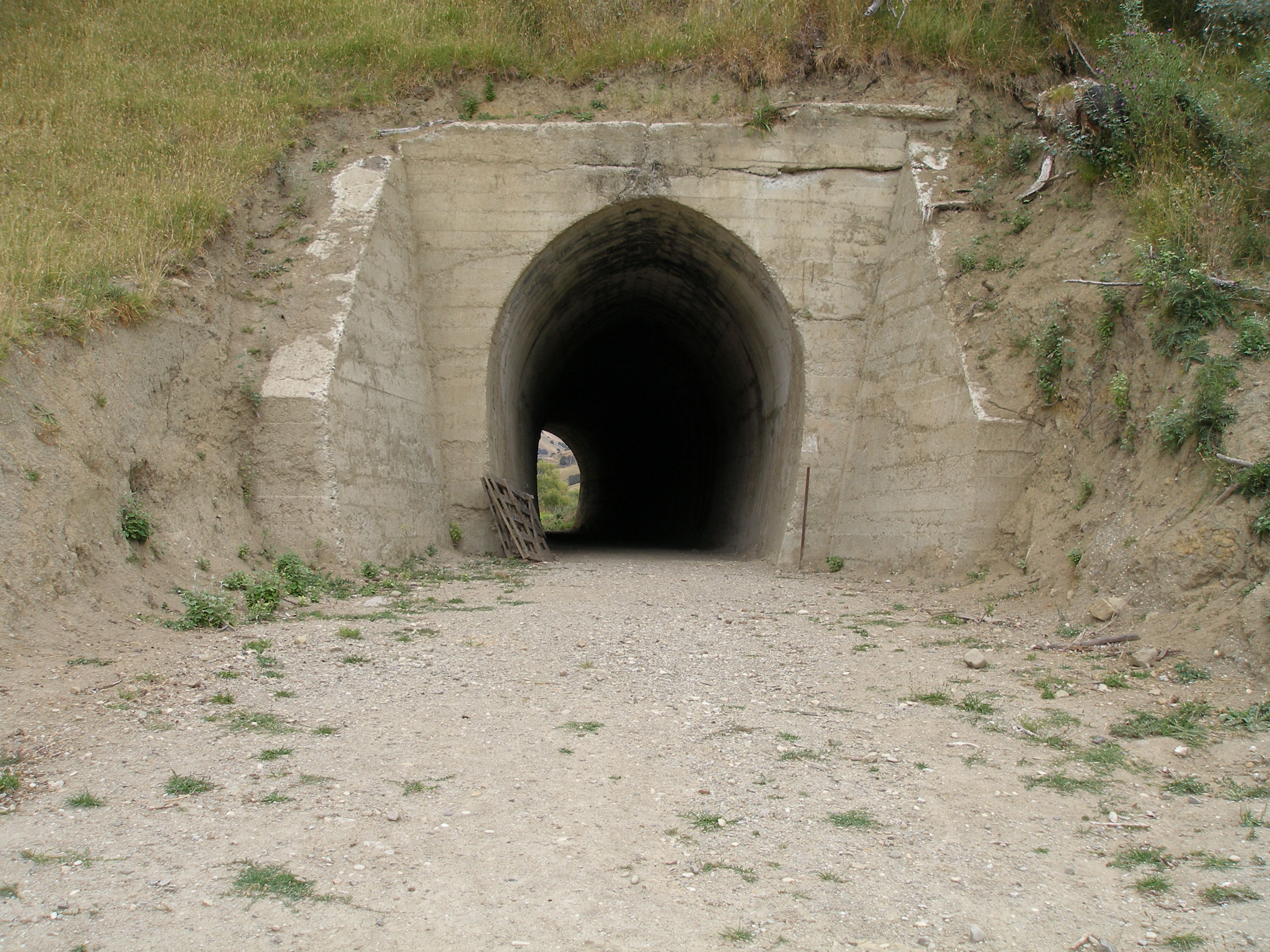
A tunnel is an underground passageway, dug through surrounding soil, earth or rock, and enclosed except for the entrance and exit, commonly at each end. A pipeline is not a tunnel, though some recent tunnels have used immersed tube construction techniques rather than traditional tunnel boring methods. A tunnel may be for foot or vehicular road traffic, for rail traffic, or for a canal. The central portions of a rapid transit network are usually in the tunnel. Some tunnels are used as sewers or aqueducts to supply water for consumption or for hydroelectric stations. Utility tunnels are used for routing steam, chilled water, electrical power or telecommunication cables, as well as connecting buildings for convenient passage of people and equipment. Secret tunnels are built for military purposes, or by civilians for smuggling of weapons, contraband, or people. Special tunnels, such as wildlife crossings, are built to allow wildlife to cross human-made barriers safely. ... [...More Info...] [...Related Items...] OR: [Wikipedia] [Google] [Baidu] |
East Coast Main Trunk
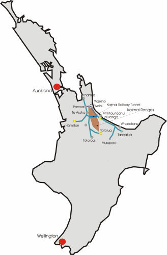
The East Coast Main Trunk (ECMT) is a railway line in the North Island of New Zealand, originally running between Hamilton and Taneatua via Tauranga, connecting the Waikato with the Bay of Plenty. The ECMT now runs between Hamilton and Kawerau, with a branch line to Taneatua from the junction at Hawkens. The line is built to narrow gauge of , the uniform gauge in New Zealand. It was known as the East Coast Main Trunk Railway until 2011, when the word "Railway" was dropped. History Construction In 1880, the North Island Main Trunk railway had reached Frankton, Hamilton, from Auckland. From there, it was delayed by construction of the original Waikato River bridge (now carrying road traffic as part of Claudelands Road), before the line made its way to Morrinsville in October 1884, Te Aroha in March 1886 and Paeroa in 1898. There were also minor delays, such as in the delivery of totara sleepers. The route to Waihi through the Karangahake Gorge was surveyed in the next few year ... [...More Info...] [...Related Items...] OR: [Wikipedia] [Google] [Baidu] |
Rotorua Branch
The Rotorua Branch is a railway line from Putāruru to Rotorua, in the Waikato and Bay of Plenty regions of the North Island of New Zealand. Construction of the line was commenced by the Thames Valley and Rotorua Railway Company and finished by the Public Works Department (PWD). The complete line, in length, opened in two sections; on 24 November 1893 to Tārukenga and the final to Rotorua on 8 December 1894. History The line was partially constructed by the Thames Valley and Rotorua Railway Company. The company began planning of the line from 1877, following the passing of the District Railways Act 1877. Construction of the Rotorua line did not begin until after its survey, from 1881. The survey took 12 months to find a suitable route to Rotorua over the Mamaku Ranges. The company only ever completed the section between Morrinsville and Tīrau (called Oxford at that time), and this opened on 8 March 1886. The Government took over its operations in 1886. From this time onwar ... [...More Info...] [...Related Items...] OR: [Wikipedia] [Google] [Baidu] |
Mōtū
Mōtū is a rural community in the Gisborne District of New Zealand New Zealand ( mi, Aotearoa ) is an island country in the southwestern Pacific Ocean. It consists of two main landmasses—the North Island () and the South Island ()—and over 700 smaller islands. It is the sixth-largest island count ...'s North Island. It is located north of Matawai and State Highway 2. The community is centred around Mōtū River and Mōtū Falls. Education Motu School is a Year 1–8 co-educational state primary school. In 2019, it was a decile 7 school with a roll of 5. References Populated places in the Gisborne District {{Gisborne-geo-stub ... [...More Info...] [...Related Items...] OR: [Wikipedia] [Google] [Baidu] |
Makaraka, New Zealand
Makaraka is an outer suburb of Gisborne, in New Zealand's North Island, located in the west of the city. The suburb features Gisborne's horse-racing circuit, Makaraka Racecourse. It is part of the statistical area of Makaraka-Awapuni, which is covered at Awapuni. Makaraka was settled by dairy farmers in the 19th century. A dairy factory was built in the settlement in 1899. The Tarere Marae, located near Makaraka, is a tribal meeting place of Te Whānau a Iwi, a hapū of Te Aitanga ā Māhaki. It includes Te Aotipu meeting house. Education Makaraka School is a Year 1–6 co-educational public primary school with a roll of as of Railway station From 1902 to 1959 Mākaraka had a railway station on the Moutohora Branch The Moutohora Branch was a branch line railway that formed part of New Zealand's national rail network in Poverty Bay in the North Island of New Zealand. The branch ran for 78 km approximately North-West from Gisborne into the rugged a ... and ... [...More Info...] [...Related Items...] OR: [Wikipedia] [Google] [Baidu] |
Groundbreaking
Groundbreaking, also known as cutting, sod-cutting, turning the first sod, or a sod-turning ceremony, is a traditional ceremony in many cultures that celebrates the first day of construction for a building or other project. Such ceremonies are often attended by dignitaries such as politicians and businesspeople. The actual shovel used during the groundbreaking is often a special ceremonial shovel, sometimes colored gold, meant to be saved for subsequent display and may be engraved. In other groundbreaking ceremonies, a bulldozer is used instead of a shovel to mark the first day of construction. In some groundbreaking ceremonies, the shovel and the bulldozer mark the first day of construction. Meaning When used as an adjective, the term groundbreaking may mean being or making something that has never been done, seen, or made before; "stylistically innovative works". History Groundbreaking ceremonies have been celebrated for centuries in an attempt to begin the construction ... [...More Info...] [...Related Items...] OR: [Wikipedia] [Google] [Baidu] |


