|
Mount Aetna (other)
Mount Aetna may refer to: *Mount Etna, a stratovolcano in Sicily. *Mount Aetna (Colorado), a mountain in Colorado *Mount Aetna, Maryland Mount Aetna is a census-designated place (CDP) in Washington County, Maryland, United States. The population was 838 at the 2000 census. Geography Mount Aetna is located at (39.602673, −77.613496). According to the United States Census ..., a census-designated place in the United States * Mount Aetna, Pennsylvania, an unincorporated community in the United States {{place name disambiguation ... [...More Info...] [...Related Items...] OR: [Wikipedia] [Google] [Baidu] |
Mount Etna
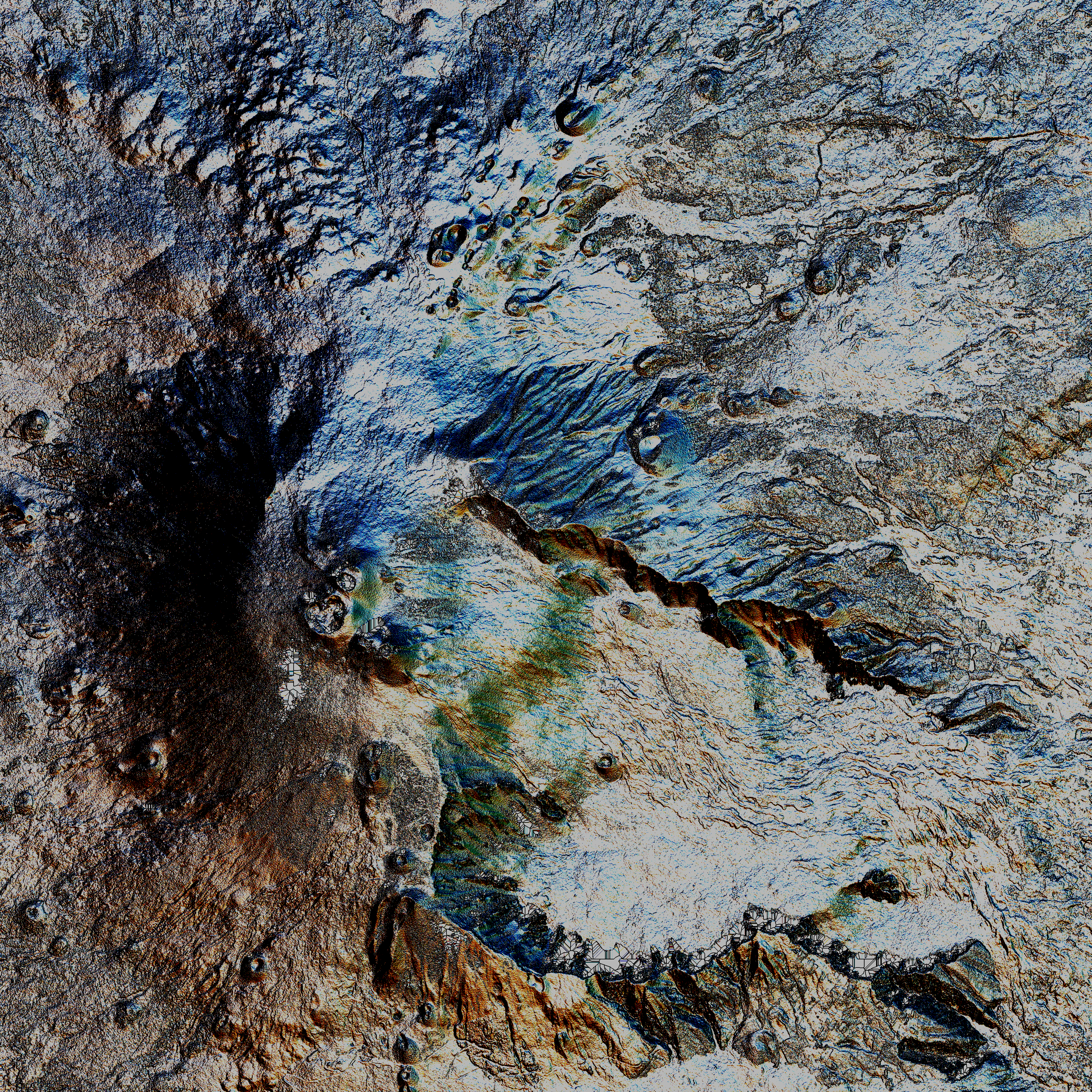
Mount Etna, or simply Etna ( it, Etna or ; scn, Muncibbeḍḍu or ; la, Aetna; grc, Αἴτνα and ), is an active stratovolcano on the east coast of Sicily, Italy, in the Metropolitan City of Catania, between the cities of Messina and Catania. It lies above the convergent plate margin between the African Plate and the Eurasian Plate. It is one of the tallest active volcanoes in Europe, and the tallest peak in Italy south of the Alps with a current height (July 2021) of , though this varies with summit eruptions. Over a six-month period in 2021, Etna erupted so much volcanic material that its height increased by approximately , and the southeastern crater is now the tallest part of the volcano. Etna covers an area of with a basal circumference of . This makes it by far the largest of the three active volcanoes in Italy, being about two and a half times the height of the next largest, Mount Vesuvius. Only Mount Teide on Tenerife in the Canary Islands surpasses it in ... [...More Info...] [...Related Items...] OR: [Wikipedia] [Google] [Baidu] |
Mount Aetna (Colorado)
Mount Aetna is a mountain summit in Chaffee County, Colorado, United States. Description Mount Aetna is set east of the Continental Divide in the Sawatch Range which is a subrange of the Rocky Mountains. The prominent mountain is located west of the community of Salida on land managed by San Isabel National Forest. It ranks as the 129th-highest peak in Colorado. Precipitation runoff from the mountain's slopes drains to the South Arkansas River. Topographic relief is significant as the summit rises above the river's Middle Fork in . An ascent of the peak involves hiking with of elevation gain. Mount Aetna can be seen from Highway 50 at Monarch Pass. Etymology The mountain is named for its symmetrical profile resemblance to Mount Etna, the famous volcano in Sicily. A visually prominent talus gully on the south slope of the mountain creates an illusion of lava flowing down this pseudo-volcanic peak. The mountain's toponym has been officially adopted by the United States Bo ... [...More Info...] [...Related Items...] OR: [Wikipedia] [Google] [Baidu] |
Mount Aetna, Maryland
Mount Aetna is a census-designated place (CDP) in Washington County, Maryland, United States. The population was 838 at the 2000 census. Geography Mount Aetna is located at (39.602673, −77.613496). According to the United States Census Bureau, the CDP has a total area of , all land. The community is situated at the western base of South Mountain at elevations between 500 and 700 feet; the landscape here is principally underlain by the Tomstown Dolomite, and the neighboring area is home to at least four known solutional caves, one of which—Mount Aetna Cave—was open briefly for commercial tours in the 1930s. This region is drained by Mount Aetna Creek, which has at least three headwaters in the neighboring mountain, and is a tributary of Beaver Creek. Demographics As of the census of 2000, there were 838 people, 286 households, and 233 families residing in the CDP. The population density was . There were 292 housing units at an average density of . The racial makeup ... [...More Info...] [...Related Items...] OR: [Wikipedia] [Google] [Baidu] |
