|
Motutere, New Zealand
Motutere is a small township on the southeastern shore of Lake Taupō in New Zealand's Waikato region.Dowling, P. (ed.) (2004). ’’Reed New Zealand atlas’’. Auckland: Reed Publishing. It lies on Motutere Bay, close to the popular diving location, Te Poporo / Bulli Point, and approximately halfway between Taupō and Tūrangi, to both of which it is connected by SH1. In the 18th century, the township was the base of Te Rangi-tua-matotoru, the paramount chief of Ngāti Tūwharetoa. Motutere is dominated by a camping site, one of the main spots for caravan camping along the shores of the lake. A popular short walking track, Waipehi Walk, begins at the settlement and offers views across the lake. " |
Lake Taupō
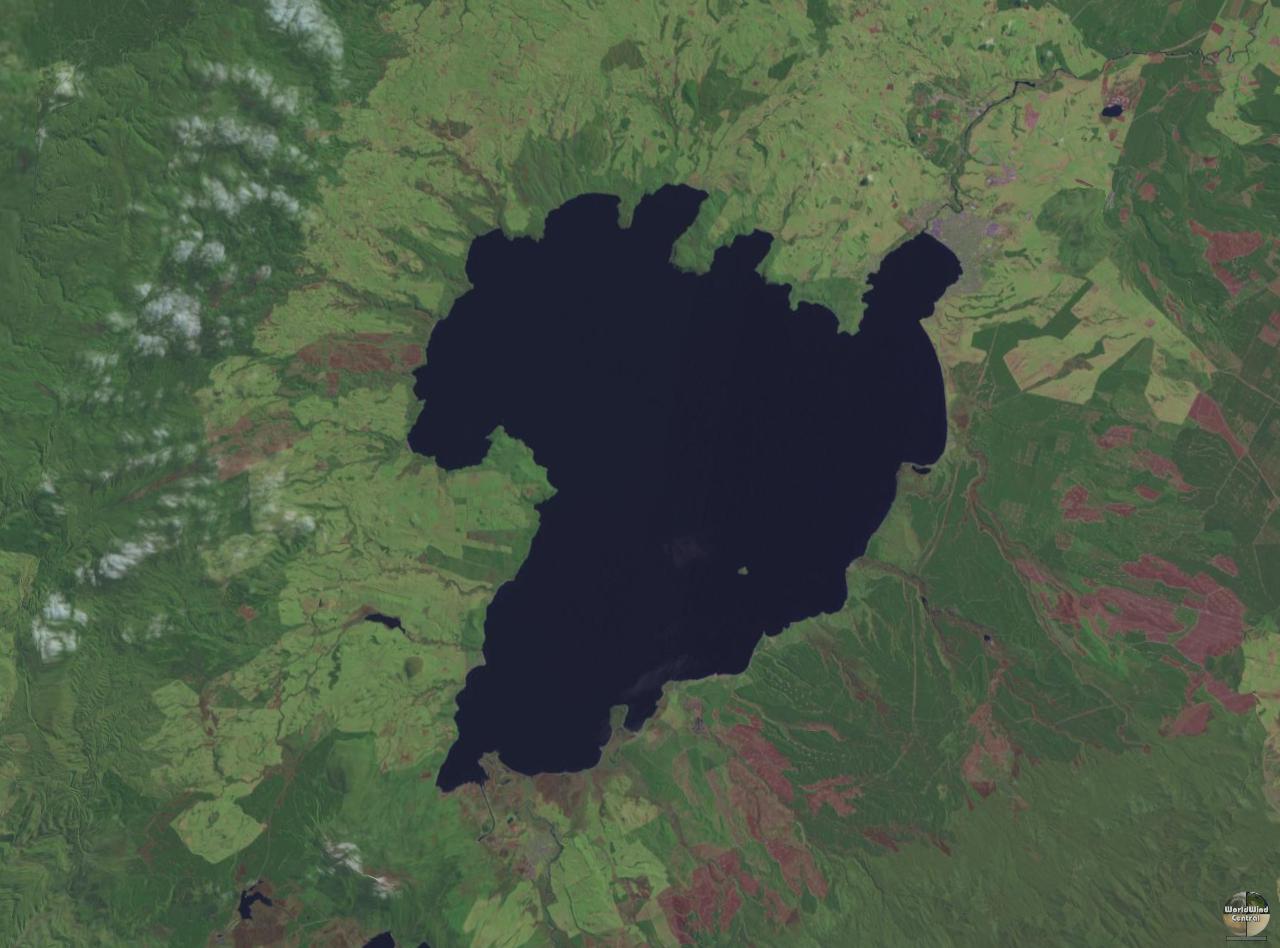
Lake Taupō (also spelled Taupo; mi, Taupō-nui-a-Tia or ) is a large crater lake in New Zealand's North Island, located in the caldera of the Taupō Volcano. The lake is the namesake of the town of Taupō, which sits on a bay in the lake's northeastern shore. With a surface area of , it is the largest lake by surface area in New Zealand, and the second largest freshwater lake by surface area in geopolitical Oceania after Lake Murray in Papua New Guinea. Motutaiko Island lies in the southeastern area of the lake. Lake Taupō has a perimeter of approximately and a maximum depth of . It is drained by the Waikato River (New Zealand's longest river), and its main tributaries are the Waitahanui River, the Tongariro River, and the Tauranga Taupō River. It is a noted trout fishery with stocks of introduced brown and rainbow trout. The level of the lake is controlled by Mercury Energy, the owner of the eight hydroelectric dams on the Waikato River downstream of Lake Taupō, usin ... [...More Info...] [...Related Items...] OR: [Wikipedia] [Google] [Baidu] |
Waikato
Waikato () is a Regions of New Zealand, local government region of the upper North Island of New Zealand. It covers the Waikato District, Waipa District, Matamata-Piako District, South Waikato District and Hamilton, New Zealand, Hamilton City, as well as Hauraki Plains, Hauraki, Coromandel Peninsula, the northern King Country, much of the Taupō District, and parts of Rotorua, Rotorua District. It is governed by the Waikato Regional Council. The region stretches from Coromandel Peninsula in the north, to the north-eastern slopes of Mount Ruapehu in the south, and spans the North Island from the west coast, through the Waikato and Hauraki to Coromandel Peninsula on the east coast. Broadly, the extent of the region is the Waikato River catchment. Other major catchments are those of the Waihou River, Waihou, Piako River, Piako, Awakino River (Waikato), Awakino and Mokau River, Mokau rivers. The region is bounded by Auckland Region, Auckland on the north, Bay of Plenty on the east ... [...More Info...] [...Related Items...] OR: [Wikipedia] [Google] [Baidu] |
Motutere Bay
{{geodis ...
Motutere may refer to one of several locations in New Zealand's Waikato Region: *Castle Rock (Waikato), a mountain which has the alternative Mãori name ''Motutere'' *Motutere, New Zealand, a township on the shore of Lake Taupõ ** Motutere Bay, an indentation in the shore of Lake Taupõ; see Motutere, New Zealand Motutere is a small township on the southeastern shore of Lake Taupō in New Zealand's Waikato region.Dowling, P. (ed.) (2004). ’’Reed New Zealand atlas’’. Auckland: Reed Publishing. It lies on Motutere Bay, close to the popular diving ... [...More Info...] [...Related Items...] OR: [Wikipedia] [Google] [Baidu] |
Te Poporo / Bulli Point
Bulli Point ( mi, Te Pōporo, officially gazetted as Te Pōporo / Bulli Point) is a point on Lake Taupō, in the central North Island of New Zealand. The point is a popular spot for rock jumping. Location Bulli Point sits in Motutere Bay on the eastern side of Lake Taupō. It lies close to State Highway 1 (New Zealand), State Highway 1, less than one kilometre east of Motutere, New Zealand, Motutere. Naming The name ''Te Pōporo'' is a Māori language, Te Reo Māori name taken from the pā that once stood on the hill above the point. It was one of several important pā located between Motutere, New Zealand, Motutere and Hatepe. The pā may have been named after Pōporo, a Māori name for ''Solanum aviculare'' and ''Solanum laciniatum'', a local shrub with white to blue-purple flowers, and yellow to orange fruit, sometimes called bullibulli. A point on the western side of the lake, Te Poroporo Point, also contains a word for the same shrub, ''Poroporo''. The origin of the ... [...More Info...] [...Related Items...] OR: [Wikipedia] [Google] [Baidu] |

