|
Morton Matthew McCarver
"General" Morton Matthew McCarver (January 14, 1807 – April 17, 1875) was an American politician and pioneer in the West. A native of Kentucky, he helped found cities in Iowa, Oregon, and Washington while also involved in the early government of California. He served in the Provisional Legislature of Oregon, including as the first speaker of that body, and also fought in the Rogue River Wars. Early years Morton Matthew McCarver was born on January 14, 1807, to Joseph and Betsy McCarver (née Morton) in Lexington, Kentucky.Corning, Howard M. (1989) ''Dictionary of Oregon History''. Binfords & Mort Publishing. p. 159. His father died during Morton's youth, and the younger McCarver left home at the age of 14. McCarver headed south and spent a few years in Texas and Louisiana before returning to Kentucky. He moved to Illinois in 1829 where he married Marry Ann Jennings on May 6, 1830, at Monmouth, Illinois, and the couple had two children before her death in 1846. In 1832, he fou ... [...More Info...] [...Related Items...] OR: [Wikipedia] [Google] [Baidu] |
List Of Speakers Of The Oregon House Of Representatives {{R from other capitalisation ...
#REDIRECT List of speakers of the Oregon House of Representatives #REDIRECT List of speakers of the Oregon House of Representatives {{R from other capitalisation ... [...More Info...] [...Related Items...] OR: [Wikipedia] [Google] [Baidu] |
Mississippi River
The Mississippi River is the second-longest river and chief river of the second-largest drainage system in North America, second only to the Hudson Bay drainage system. From its traditional source of Lake Itasca in northern Minnesota, it flows generally south for to the Mississippi River Delta in the Gulf of Mexico. With its many tributaries, the Mississippi's watershed drains all or parts of 32 U.S. states and two Canadian provinces between the Rocky and Appalachian mountains. The main stem is entirely within the United States; the total drainage basin is , of which only about one percent is in Canada. The Mississippi ranks as the thirteenth-largest river by discharge in the world. The river either borders or passes through the states of Minnesota, Wisconsin, Iowa, Illinois, Missouri, Kentucky, Tennessee, Arkansas, Mississippi, and Louisiana. Native Americans have lived along the Mississippi River and its tributaries for thousands of years. Most were hunter-ga ... [...More Info...] [...Related Items...] OR: [Wikipedia] [Google] [Baidu] |
Oregon City, Oregon
) , image_skyline = McLoughlin House.jpg , imagesize = , image_caption = The McLoughlin House, est. 1845 , image_flag = , image_seal = Oregon City seal.png , image_map = Clackamas_County_Oregon_Incorporated_and_Unincorporated_areas_Oregon_City_Highlighted.svg , mapsize = 250px , map_caption = Location in Oregon , image_map1 = , mapsize1 = , map_caption1 = , pushpin_map = Oregon#USA , pushpin_map_alt = , pushpin_map_caption = , pushpin_label = Oregon City , subdivision_type = Country , subdivision_type1 = State , subdivision_type2 = County , subdivision_name = United States , subdivision_name1 = Oregon , subdivision_name2 = Clackamas , government_type = , leader_title = Mayor , leader_name ... [...More Info...] [...Related Items...] OR: [Wikipedia] [Google] [Baidu] |
Oregon House Of Representatives
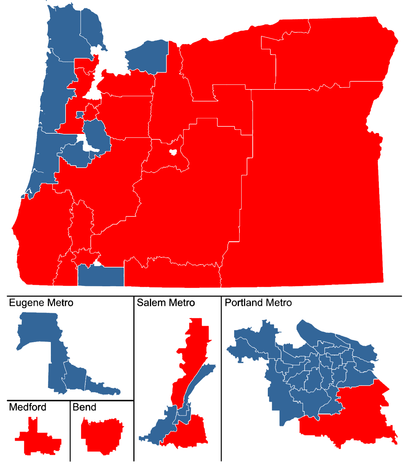
The Oregon House of Representatives is the lower house of the Oregon Legislative Assembly. There are 60 members of the House, representing 60 districts across the state, each with a population of 65,000. The House meets in the west wing of the Oregon State Capitol in Salem. Members of the House serve two-year terms without term limits. In 2002, the Oregon Supreme Court struck down Oregon Ballot Measure 3 (1992), that had restricted State Representatives to three terms (six years) on procedural grounds. In the current legislative session, Democrat Dan Rayfield of Corvallis currently serves as Speaker since February 1, 2022 after Tina Kotek stepped down. Milestones * 1914: Marian B. Towne became the first woman elected to the Oregon House * 1972: Bill McCoy became the first African American to serve in the House * 1985: Margaret Carter became the first black woman elected to the House * 1991: Gail Shibley became the first openly gay person to serve in the House * 2013: Tina ... [...More Info...] [...Related Items...] OR: [Wikipedia] [Google] [Baidu] |
Linnton, Portland, Oregon
Linnton is a Portland, Oregon neighborhood located between Forest Park and the Willamette River along U.S. Route 30 (NW St. Helens Rd.), close to the agricultural community of Sauvie Island. It borders the neighborhoods of Northwest Industrial on the south, St. Johns and Cathedral Park via the St. Johns Bridge across the Willamette on the east, and Forest Park (with which it overlaps substantially) on the west. The neighborhood extends north somewhat beyond Portland city limits into unincorporated Multnomah County, ending at the Sauvie Island Bridge. History According to '' Oregon Geographic Names'', the Town of Linnton was platted in 1843 by Peter Burnett (later, the first governor of California) and Morton M. McCarver. The two named the community for U.S. Senator Lewis F. Linn of Missouri, a proponent of settling the Oregon Country. Linnton had its own post office from 1889–1975. Industrialization began in 1889 when the Portland Smelting Company started to build a ... [...More Info...] [...Related Items...] OR: [Wikipedia] [Google] [Baidu] |
Portland, Oregon
Portland (, ) is a port city in the Pacific Northwest and the largest city in the U.S. state of Oregon. Situated at the confluence of the Willamette and Columbia rivers, Portland is the county seat of Multnomah County, the most populous county in Oregon. Portland had a population of 652,503, making it the 26th-most populated city in the United States, the sixth-most populous on the West Coast, and the second-most populous in the Pacific Northwest, after Seattle. Approximately 2.5 million people live in the Portland metropolitan statistical area (MSA), making it the 25th most populous in the United States. About half of Oregon's population resides within the Portland metropolitan area. Named after Portland, Maine, the Oregon settlement began to be populated in the 1840s, near the end of the Oregon Trail. Its water access provided convenient transportation of goods, and the timber industry was a major force in the city's early economy. At the turn of the 20th century, the ... [...More Info...] [...Related Items...] OR: [Wikipedia] [Google] [Baidu] |
Columbia River
The Columbia River (Upper Chinook: ' or '; Sahaptin: ''Nch’i-Wàna'' or ''Nchi wana''; Sinixt dialect'' '') is the largest river in the Pacific Northwest region of North America. The river rises in the Rocky Mountains of British Columbia, Canada. It flows northwest and then south into the U.S. state of Washington, then turns west to form most of the border between Washington and the state of Oregon before emptying into the Pacific Ocean. The river is long, and its largest tributary is the Snake River. Its drainage basin is roughly the size of France and extends into seven US states and a Canadian province. The fourth-largest river in the United States by volume, the Columbia has the greatest flow of any North American river entering the Pacific. The Columbia has the 36th greatest discharge of any river in the world. The Columbia and its tributaries have been central to the region's culture and economy for thousands of years. They have been used for transportation since a ... [...More Info...] [...Related Items...] OR: [Wikipedia] [Google] [Baidu] |
Willamette Valley
The Willamette Valley ( ) is a long valley in Oregon, in the Pacific Northwest region of the United States. The Willamette River flows the entire length of the valley and is surrounded by mountains on three sides: the Cascade Range to the east, the Oregon Coast Range to the west, and the Calapooya Mountains to the south. The valley is synonymous with the cultural and political heart of Oregon and is home to approximately 70 percent of its population including the five largest cities in the state: Portland, Eugene, Salem, Gresham, and Hillsboro. The valley's numerous waterways, particularly the Willamette River, are vital to the economy of Oregon, as they continuously deposit highly fertile alluvial soils across its broad, flat plain. A massively productive agricultural area, the valley was widely publicized in the 1820s as a "promised land of flowing milk and honey." Throughout the 19th century, it was the destination of choice for the oxen-drawn wagon trains of emigr ... [...More Info...] [...Related Items...] OR: [Wikipedia] [Google] [Baidu] |
Oregon Country
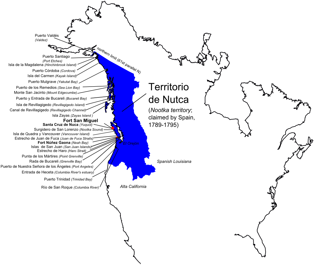
Oregon Country was a large region of the Pacific Northwest of North America that was subject to a long dispute between the United Kingdom and the United States in the early 19th century. The area, which had been created by the Treaty of 1818, consisted of the land north of 42°N latitude, south of 54°40′N latitude, and west of the Rocky Mountains down to the Pacific Ocean and east to the Continental Divide. Article III of the 1818 treaty gave joint control to both nations for ten years, allowed land to be claimed, and guaranteed free navigation to all mercantile trade. However, both countries disputed the terms of the international treaty. Oregon Country was the American name while the British used Columbia District for the region. British and French Canadian fur traders had entered Oregon Country prior to 1810 before the arrival of American settlers from the mid-1830s onwards, which led to the foundation of the Provisional Government of Oregon. Its coastal areas north from ... [...More Info...] [...Related Items...] OR: [Wikipedia] [Google] [Baidu] |
Oregon Trail
The Oregon Trail was a east–west, large-wheeled wagon route and Westward Expansion Trails, emigrant trail in the United States that connected the Missouri River to valleys in Oregon. The eastern part of the Oregon Trail spanned part of what is now the state of Kansas and nearly all of what are now the states of Nebraska and Wyoming. The western half of the trail spanned most of the current states of Idaho and Oregon. The Oregon Trail was laid by fur traders and trappers from about 1811 to 1840 and was only passable on foot or on horseback. By 1836, when the first migrant wagon train was organized in Independence, Missouri, a wagon trail had been cleared to Fort Hall, Idaho. Wagon trails were cleared increasingly farther west and eventually reached all the way to the Willamette Valley in Oregon, at which point what came to be called the Oregon Trail was complete, even as almost annual improvements were made in the form of bridges, cutoffs, ferries, and roads, which made the t ... [...More Info...] [...Related Items...] OR: [Wikipedia] [Google] [Baidu] |
Commissary General
A commissary is a government official charged with oversight or an ecclesiastical official who exercises in special circumstances the jurisdiction of a bishop. In many countries, the term is used as an administrative or police title. It often corresponds to the command of a police station, which is then known as a "commissariat". In some armed forces, commissaries are officials charged with overseeing the purchase and delivery of supplies, and they have powers of administrative and financial oversight. Then, the "commissariat" is the organization associated with the corps of commissaries. By extension, the term "commissary" came to be used for the building where supplies were disbursed. In some countries, both roles are used; for example, France uses " police commissaries" (''commissaires de police'') in the French National Police and "armed forces commissaries" (''commissaires des armées'') in the French armed forces. The equivalent terms are ''commissaire'' in French, ''comm ... [...More Info...] [...Related Items...] OR: [Wikipedia] [Google] [Baidu] |
Iowa Territory
The Territory of Iowa was an organized incorporated territory of the United States that existed from July 4, 1838, until December 28, 1846, when the southeastern portion of the territory was admitted to the Union as the state of Iowa. The remainder of the territory would have no organized territorial government until the Minnesota Territory was organized on March 3, 1849. History Most of the area in the territory was originally part of the Louisiana Purchase and was a part of the Missouri Territory. When Missouri became a state in 1821, this area (along with the Dakotas) effectively became unorganized territory. The area was closed to white settlers until the 1830s, after the Black Hawk War ended. It was attached to the Michigan Territory on June 28, 1834. At an extra session of the Sixth Legislative Assembly of Michigan held in September, 1834, the Iowa District was divided into two counties by running a line due west from the lower end of Rock Island in the Mississippi Rive ... [...More Info...] [...Related Items...] OR: [Wikipedia] [Google] [Baidu] |


