|
Mortdale
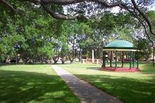
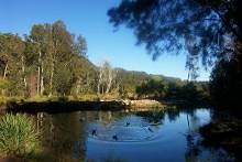
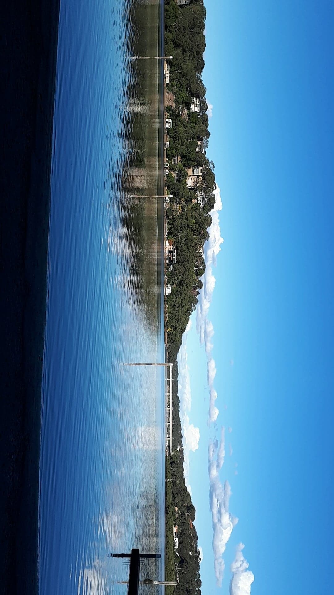
Mortdale is a suburb located in southern Sydney, in the state of New South Wales, Australia. Mortdale is located 20 kilometres south of the Sydney central business district and is part of the St George area. Mortdale is situated in the local government area of Georges River Council. Mortdale extends south to Lime Kiln Bay, on the Georges River. Mortdale Heights is a locality in the western corner of the suburb. History Mortdale has been known in the past as Mort's Road, Mort's Hill, Mort's Crossing, Mort's Township and Mort Dale. The suburb was named after Sydney industrialist Thomas Sutcliffe Mort (1816–1878), who was famous for pioneering the refrigeration of shipping meat and the construction of Mort's Dock, Balmain. Thomas Mort purchased the land from Robert Townson (1763–1827), who had been granted land in the Hurstville area with his brother John Townson. A small farming community started when the land around Mort's Road was subdivided into 17 farms. Th ... [...More Info...] [...Related Items...] OR: [Wikipedia] [Google] [Baidu] |
Mortdale Heights
Mortdale is a suburb located in southern Sydney, in the state of New South Wales, Australia. Mortdale is located 20 kilometres south of the Sydney central business district and is part of the St George area. Mortdale is situated in the local government area of Georges River Council. Mortdale extends south to Lime Kiln Bay, on the Georges River. Mortdale Heights is a locality in the western corner of the suburb. History Mortdale has been known in the past as Mort's Road, Mort's Hill, Mort's Crossing, Mort's Township and Mort Dale. The suburb was named after Sydney industrialist Thomas Sutcliffe Mort (1816–1878), who was famous for pioneering the refrigeration of shipping meat and the construction of Mort's Dock, Balmain. Thomas Mort purchased the land from Robert Townson (1763–1827), who had been granted land in the Hurstville area with his brother John Townson. A small farming community started when the land around Mort's Road was subdivided into 17 farms. The ... [...More Info...] [...Related Items...] OR: [Wikipedia] [Google] [Baidu] |
Mortdale Railway Station
Mortdale railway station is located on the Illawarra line, serving the Sydney suburb of Mortdale. It is served by Sydney Trains T4 line services. History Mortdale station opened on 20 March 1897 being relocated north to its current location on 14 September 1922 when a new deviation of the Illawarra line opened. South of the station lies the Mortdale Maintenance Depot. In March 2007 the station was upgrade with lifts added. Platforms & services Transport links Punchbowl Bus Company operates three routes via Mortdale station: *944: to Bankstown station *945: Hurstville Hurstville is a suburb in Southern Sydney, New South Wales, Australia. It is 16 kilometres south of the Sydney CBD and is part of the St George area. Hurstville is the administrative centre of the local government area of the Georges Ri ... to Bankstown station *955: to Hurstville via Oatley station is served by one NightRide route: *N10: Sutherland station to Town Hall station Trackplan ... [...More Info...] [...Related Items...] OR: [Wikipedia] [Google] [Baidu] |
Oatley, New South Wales
Oatley is a suburb in Southern Sydney in the state of New South Wales, Australia. It is located south of the Sydney central business district and is part of the St George area. Oatley lies in the local government area of Georges River Council. It lies on the northern side of the tidal estuary of the Georges River and its foreshore includes part of Oatley Bay and Lime Kiln Bay, and all of Neverfail Bay, Gungah Bay and Jewfish Bay. History Aboriginal history The area now known as Oatley lies either on the traditional lands of the Dharug people or the coastal Eora people, both of whom spoke a common language. It lies close to the lands on the Tharawal on the south bank of the river. Georges River Council acknowledges that the Biddegal/Bidjigal/Bedegal clan of the Eora are the original inhabitants and custodians of all land and water in the Georges River region. Evidence of Aboriginal occupation of the land now known as Oatley exists in the form of numerous shell mi ... [...More Info...] [...Related Items...] OR: [Wikipedia] [Google] [Baidu] |
Peakhurst, New South Wales
Peakhurst is a suburb in Southern Sydney, or the St George Area, in the state of New South Wales, Australia 21 kilometres south-west of the Sydney central business district. Peakhurst is in the local government area of the Georges River Council. Peakhurst has a western border on Salt Pan Creek, on the Georges River. Peakhurst Heights is a separate suburb to the south, which is bordered by Boggywell Creek and Lime Kiln Bay, on the Georges River. Peakhurst Heights is sometimes still considered to be part of 'Peakhurst' by some residents of the area. History Peakhurst was named after landholder John Robert Peake, who bought 10 acres of land near the junction of the present Forest Road and Henry Lawson Drive in 1838. He gave a block of land on which the Wesleyan Church was built in 1855. The area was originally part of an 1808 land grant to Captain John Townson. John Robert Peake bought his land from William Hebblewhite in 1838. School Inspector Huffer suggested that Peake's na ... [...More Info...] [...Related Items...] OR: [Wikipedia] [Google] [Baidu] |
Georges River Council
Georges River Council is a local government area located in the St George region of Sydney located south of the CBD, in New South Wales, Australia. The Council was formed on 12 May 2016 from the merger of the Kogarah City Council and Hurstville City Council. The Council comprises an area of and as at the had a population of . The mayor of Georges River Council is Nick Katris, who was elected by his fellow councillors on 30 December 2021. Suburbs and localities in the local government area Suburbs in the Georges River Council area are: Georges River Council also manages and maintains the following localities: Demographics At the , there were people resident in the Georges River local government area; of these 48.9 per cent were male and 51.1 per cent were female. Aboriginal and Torres Strait Islander people made up 0.5 per cent of the population; significantly below the NSW and Australian averages of 2.9 and 2.8 per cent respectively. The median age of people in ... [...More Info...] [...Related Items...] OR: [Wikipedia] [Google] [Baidu] |
Penshurst, New South Wales
Penshurst () is a suburb in southern Sydney, in the state of New South Wales, Australia. Penshurst is located 17 kilometres south of the Sydney central business district and is part of the St George area. Penshurst features low to medium-density housing. It has a predominantly older population however it is increasingly being populated by a new generation of migrant families who are attracted by its proximity to Hurstville. History Penshurst was named after Penshurst, Kent, England. Originally part of the land grant to Robert Townson (1763–1827), the land was acquired in 1830 by John Connell, who left it to his grandsons J.C. and E.P. Laycock. Connell's Bush was subdivided by the Laycocks and the western part sold to Thomas Sutcliffe Mort. The early work in the area was timber-cutting and small farming. The railway station opened 17 May 1890. A large portion of Penshurst located south of the railway line is referred to as the MacRae's Estate, as it was once owned by the ... [...More Info...] [...Related Items...] OR: [Wikipedia] [Google] [Baidu] |
Peakhurst Heights, New South Wales
Peakhurst Heights is a suburb in southern Sydney, in the state of New South Wales, Australia. Peakhurst Heights is located 22 kilometres south of the Sydney central business district and is part of the St George area. Peakhurst Heights is in the local government area of the Georges River Council. Peakhurst is a separate suburb to the north. Peakhurst Heights is bordered by Boggywell Creek and Lime Kiln Bay, on the Georges River. The shores of Lime Kiln Bay once had Aboriginal middens that were used by shell-gatherers. Parks Peakhurst Heights is a mainly residential area. Gannons Park is a large recreation area in the north west corner and Hurstville Golf Course sits on the eastern border. Commercial area A small group of shops is located on Pindari RoadPeakhurst South Public Schoolis located nearby. History Peakhurst was named after landholder John Robert Peake. The area was originally part of a land grant to Captain John Townson. John Robert Peake bought of land from ... [...More Info...] [...Related Items...] OR: [Wikipedia] [Google] [Baidu] |
Beverly Hills, New South Wales
Beverly Hills is a southern suburb of Sydney, in the state of New South Wales, Australia. Beverly Hills is located 15 kilometres southwest of the Sydney central business district and is part of the St George area and is split between the local government areas of the Georges River Council and the City of Canterbury-Bankstown. The postcode is 2209, which it shares with neighbouring Narwee. Beverly Hills is mostly residential, consisting of many freestanding red brick and tile bungalows built in the years immediately after World War II. Many of these feature late Art Deco design elements. Medium density flats have been built in the areas close to King Georges Road and Stoney Creek Road. History Beverly Hills was originally known as Dumbleton after a local farm in the area, circa 1830. This name was generally disliked by residents who lobbied to supplant it with a more glamorous alternative to coincide with the arrival of the East Hills railway line, which opened 31 Dec ... [...More Info...] [...Related Items...] OR: [Wikipedia] [Google] [Baidu] |
Division Of Banks
The Division of Banks is an Australian electoral division in the state of New South Wales. History The division was created in 1949 and is named for Sir Joseph Banks, the British naturalist and botanist who accompanied James Cook on his voyage to Australia in 1770. It has always been based in the south-western and southern suburbs of Sydney, including the suburbs of Padstow, Panania, Peakhurst and Revesby. Up until 2013, it was held since its creation by the Australian Labor Party, but has grown increasingly marginal from the 1990s onward. It was almost lost in 2004, but the 2006 redistribution added areas to the west in Bankstown and Condell Park which strengthened the seat for Labor. Those areas were lost in the 2009 redistribution, which pushed Banks into new areas to the east, around Hurstville. Long-term Labor member, Daryl Melham, was defeated at the 2013 federal election by current member David Coleman. Coleman became the first non-Labor member for the seat, bre ... [...More Info...] [...Related Items...] OR: [Wikipedia] [Google] [Baidu] |
Hurstville Grove, New South Wales
Hurstville Grove is a suburb in southern Sydney, in the state of New South Wales, Australia. It is located 19 kilometres south of the Sydney central business district and is part of the local government area of the Georges River Council, in the St George area. Hurstville Grove stretches from Hillcrest Avenue to the shore of Oatley Bay, on the Georges River. It is mainly residential with a few shops located on Hillcrest Avenue. Hurstville and South Hurstville are separate suburbs located to the northeast. History The Hurstville area was granted to Captain John Townson and his brother Robert Townson in 1808; Captain Townson was granted which was on the land now occupied by the suburb of Hurstville and parts of Bexley, while Robert was granted the land which is now occupied by Penshurst, Mortdale, and parts of Peakhurst. The next year, Captain Townson was granted an additional in the area now occupied by Kingsgrove and Beverly Hills. The Townson brothers, however, wer ... [...More Info...] [...Related Items...] OR: [Wikipedia] [Google] [Baidu] |
Thomas Sutcliffe Mort
Thomas Sutcliffe Mort (23 December 18169 May 1878) was an Australian industrialist who improved the refrigeration of meat. He was renowned for speculation in the local pastoral industry as well as industrial activities such as his Ice-Works in Sydney's Darling Harbour and dry dock and engineering works at Balmain. Businessman Mort was born in Bolton, Lancashire, England in 1816. In 1878, he was associated with the Australian Mutual Provident Society. In 1849, he was one of a committee, which funded a company to promote sugar growing at Moreton Bay. In 1850 Mort was a member of the Sydney Exchange Co, and in 1851 he was a director of the Sydney Railway Co. and was also involved in mining (gold, later also copper and coal) and other enterprises. In the 1850s, he opened Mort's Dock in Sydney, a business that was not as successful as he wished. In 1843, he established Mort & Company, in Sydney, and held the first wool auction there, which was the beginning the wool auction ... [...More Info...] [...Related Items...] OR: [Wikipedia] [Google] [Baidu] |
Electoral District Of Oatley
Oatley is an electoral district of the Legislative Assembly in the Australian state of New South Wales in Sydney's St George district. It is currently held by Mark Coure of the Liberal Party. Oatley includes the suburbs of Connells Point, Hurstville Grove, Kyle Bay, Lugarno, Mortdale, Oatley, Peakhurst, Peakhurst Heights and parts of Beverly Hills, Blakehurst, Hurstville, Narwee, Penshurst, Riverwood and South Hurstville. History Oatley was first created in 1927, with the breakup of the multi-member St George. In 1930, it was abolished and largely replaced by Kogarah. It was recreated for the 2007 election largely replacing the abolished district of Georges River The Georges River, also known as Tucoerah River, is an intermediate tide-dominated drowned valley estuary, located to the south and west of Sydney, New South Wales, Australia. The river travels for approximately in a north and then easterly .... Members for Oatley Election results References ... [...More Info...] [...Related Items...] OR: [Wikipedia] [Google] [Baidu] |


.jpg)
