|
Monchousia
White Plume (ca. 1765—1838), also known as Nom-pa-wa-rah, Manshenscaw, and Monchousia, was a chief of the Kaw (Kansa, Kanza) Indigenous American tribe. He signed a treaty in 1825 ceding millions of acres of Kaw land to the United States. Most present-day members of the Kaw Nation of Oklahoma trace their lineage back to him. He was the great-great-grandfather of Charles Curtis, 31st Vice President of the United States. Early life and family White Plume was born about 1765. The Kaw tribe at that time occupied lands in what became the states of Kansas and Missouri and numbered about 1500 persons. White Plume married a daughter of the Osage Chief Pawhuska. This marriage may have been important in establishing friendly relations between the closely related Kaws and Osage. White Plume had five children. His three sons all died when young men. His two daughters, Hunt Jimmy (b. ca. 1800) and Wyhesee (b. ca. 1802) married the French traders Louis Gonville and Joseph James. Until the ... [...More Info...] [...Related Items...] OR: [Wikipedia] [Google] [Baidu] |
Charles Bird King
Charles Bird King (September 26, 1785 – March 18, 1862) was an American portrait artist, best known for his portrayals of significant Native American leaders and tribesmen. His style incorporated Dutch influences, which can be seen most prominently in his still-life and portrait paintings. Although King's artwork was appreciated by many, it has also been criticized for its inaccurate depictions of Native American culture. Biography Charles Bird King was born in Newport, Rhode Island, the only child of Deborah (nee Bird) and Zebulon King, an American Revolutionary veteran and captain. The family traveled west after the war, but when King was four years old, his father was killed and scalped by Native Americans near Marietta, Ohio. Because of this, Deborah King took her young son and moved back to her parents' home in Newport. When King was fifteen, he went to New York to study under the portrait painter Edward Savage. At age twenty he moved to London to study under Benjamin ... [...More Info...] [...Related Items...] OR: [Wikipedia] [Google] [Baidu] |
Monchousia By Charles Bird King, 1822
White Plume (ca. 1765—1838), also known as Nom-pa-wa-rah, Manshenscaw, and Monchousia, was a chief of the Kaw (Kansa, Kanza) Indigenous American tribe. He signed a treaty in 1825 ceding millions of acres of Kaw land to the United States. Most present-day members of the Kaw Nation of Oklahoma trace their lineage back to him. He was the great-great-grandfather of Charles Curtis, 31st Vice President of the United States. Early life and family White Plume was born about 1765. The Kaw tribe at that time occupied lands in what became the states of Kansas and Missouri and numbered about 1500 persons. White Plume married a daughter of the Osage Chief Pawhuska. This marriage may have been important in establishing friendly relations between the closely related Kaws and Osage. White Plume had five children. His three sons all died when young men. His two daughters, Hunt Jimmy (b. ca. 1800) and Wyhesee (b. ca. 1802) married the French traders Louis Gonville and Joseph James. Until th ... [...More Info...] [...Related Items...] OR: [Wikipedia] [Google] [Baidu] |
Kaw People
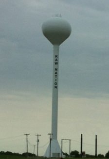
The Kaw Nation (or Kanza or Kansa) is a federally recognized Native American tribe in Oklahoma and parts of Kansas. It comes from the central Midwestern United States. It has also been called the "People of the South wind","Constitution of the Kaw Nation." ''Kaw Nation.'' 2011. Retrieved 30 April 2012. "People of water", ''Kansa'', ''Kaza'', ''Konza'', ''Conza'', ''Quans'', ''Kosa'', and ''Kasa''. Their tribal language is Kansa, classified as a Siouan language.Unrau, William Kaw (Kansa). ... [...More Info...] [...Related Items...] OR: [Wikipedia] [Google] [Baidu] |
Manhattan, Kansas
Manhattan is a city and county seat of Riley County, Kansas, United States, although the city extends into Pottawatomie County, Kansas, Pottawatomie County. It is located in northeastern Kansas at the junction of the Kansas River and Big Blue River (Kansas), Big Blue River. As of the 2020 United States census, 2020 census, the population of the city was 54,100. The city was founded by settlers from the New England Emigrant Aid Company as a Free-Stater (Kansas), Free-State town in the 1850s, during the Bleeding Kansas era. Nicknamed "The Little Apple" as a play on New York County, New York City's "Big Apple", Manhattan is the home of Kansas State University and has a distinct college town atmosphere. History Native American settlement Before settlement by European-Americans in the 1850s, the land around Manhattan was home to Native American tribes. From 1780 to 1830, it was home to the Kaw people, also known as the Kansa. The Kaw settlement was called Blue Earth Villag ... [...More Info...] [...Related Items...] OR: [Wikipedia] [Google] [Baidu] |
Half-Breed Tract
A Half-Breed Tract was a segment of land designated in the western states by the United States government in the 19th century specifically for Métis of American Indian and European or European-American ancestry, at the time commonly known as half-breeds. The government set aside such tracts in several parts of the Midwestern prairie region, including in Iowa Territory, Nebraska Territory, Kansas Territory, Minnesota Territory, and Wisconsin Territory. Overview Historically, the mixed-blood population in the ''Pays d'en Haut'' region surrounding the Great Lakes were typically the descendants of Native American women and White men, often men of French-Canadian or Scots (including Orcadian) origin, who dominated early fur trapping and trade. These men lived far from other Europeans. Others had fathers who were American trappers and traders. The children typically grew up in their mother's tribes, where the fathers and families were offered protection if not full membership. As r ... [...More Info...] [...Related Items...] OR: [Wikipedia] [Google] [Baidu] |
Isaac McCoy
Isaac McCoy (June 13, 1784 – June 21, 1846) was a Baptist missionary among the Native Americans in what is now Indiana, Michigan, Missouri, and Kansas. He was an advocate of Indian removal from the eastern United States, proposing an Indian state in what is now Kansas, Nebraska, and Oklahoma. He also played an instrumental role in the founding of Grand Rapids, Michigan and Kansas City, Missouri. Early life McCoy was born in Uniontown, Pennsylvania, in 1784. Five years later, the McCoy family rafted down the Ohio River to Kentucky, settling first near Louisville and in 1792 in Shelby County. His father was a Baptist minister, sharing profound arguments with him about religion. His father, on theological principles shared by many of his congregation, was opposed to evangelizing. McCoy was inspired in childhood to become a missionary to Native Americans and determined on that work. Marriage and family In 1804 at the age of 20, Isaac McCoy married Christiana Polke (1778– ... [...More Info...] [...Related Items...] OR: [Wikipedia] [Google] [Baidu] |
Santa Fe Trail
The Santa Fe Trail was a 19th-century route through central North America that connected Franklin, Missouri, with Santa Fe, New Mexico, Santa Fe, New Mexico. Pioneered in 1821 by William Becknell, who departed from the Boonslick region along the Missouri River, the trail served as a vital commercial highway until 1880, when the railroad arrived in Santa Fe. Santa Fe was near the end of El Camino Real de Tierra Adentro which carried trade from Mexico City. The trail was later incorporated into parts of the National Old Trails Road and U.S. Route 66. The route skirted the northern edge and crossed the north-western corner of Comancheria, the territory of the Comanche. Realizing the value, they demanded compensation for granting passage to the trail. American traders envisioned them as another market. Comanche raiding farther south in Mexico isolated New Mexico, making it more dependent on the American trade. They raided to gain a steady supply of horses to sell. By the 1840s, trai ... [...More Info...] [...Related Items...] OR: [Wikipedia] [Google] [Baidu] |
New Mexico
) , population_demonym = New Mexican ( es, Neomexicano, Neomejicano, Nuevo Mexicano) , seat = Santa Fe, New Mexico, Santa Fe , LargestCity = Albuquerque, New Mexico, Albuquerque , LargestMetro = Albuquerque metropolitan area, Tiguex , OfficialLang = None , Languages = English language, English, Spanish language, Spanish (New Mexican Spanish, New Mexican), Navajo language, Navajo, Keres language, Keres, Zuni language, Zuni , Governor = , Lieutenant Governor = , Legislature = New Mexico Legislature , Upperhouse = New Mexico Senate, Senate , Lowerhouse = New Mexico House of Representatives, House of Representatives , Judiciary = New Mexico Supreme Court , Senators = * * , Representative = * * * , postal_code = NM , TradAbbreviation = N.M., N.Mex. , area_rank = 5th , area_total_sq_mi = 121,591 , area_total_km2 = 314,915 , area_land_sq_mi = 121,298 , area_land_km2 = 314,161 , area_water_sq_mi = 292 , area_water_km2 = 757 , area_water_percent = 0.24 , ... [...More Info...] [...Related Items...] OR: [Wikipedia] [Google] [Baidu] |
Rocky Mountains
The Rocky Mountains, also known as the Rockies, are a major mountain range and the largest mountain system in North America. The Rocky Mountains stretch in straight-line distance from the northernmost part of western Canada, to New Mexico in the southwestern United States. Depending on differing definitions between Canada and the U.S., its northern terminus is located either in northern British Columbia's Terminal Range south of the Liard River and east of the Trench, or in the northeastern foothills of the Brooks Range/ British Mountains that face the Beaufort Sea coasts between the Canning River and the Firth River across the Alaska- Yukon border. Its southernmost point is near the Albuquerque area adjacent to the Rio Grande rift and north of the Sandia–Manzano Mountain Range. Being the easternmost portion of the North American Cordillera, the Rockies are distinct from the tectonically younger Cascade Range and Sierra Nevada, which both lie farther to its west. ... [...More Info...] [...Related Items...] OR: [Wikipedia] [Google] [Baidu] |
Epaulette
Epaulette (; also spelled epaulet) is a type of ornamental shoulder piece or decoration used as insignia of rank by armed forces and other organizations. Flexible metal epaulettes (usually made from brass) are referred to as ''shoulder scales''. In the French and other armies, epaulettes are also worn by all ranks of elite or ceremonial units when on parade. It may bear rank or other insignia, and should not be confused with a shoulder mark – also called a shoulder board, rank slide, or slip-on – a flat cloth sleeve worn on the shoulder strap of a uniform (although the two terms are often used interchangeably). Etymology () is a French word meaning "little shoulder" (diminutive of , meaning "shoulder"). How to wear Epaulettes are fastened to the shoulder by a shoulder strap or ''passenten'', a small strap parallel to the shoulder seam, and the button near the collar, or by laces on the underside of the epaulette passing through holes in the shoulder of the coat. Collo ... [...More Info...] [...Related Items...] OR: [Wikipedia] [Google] [Baidu] |
White House
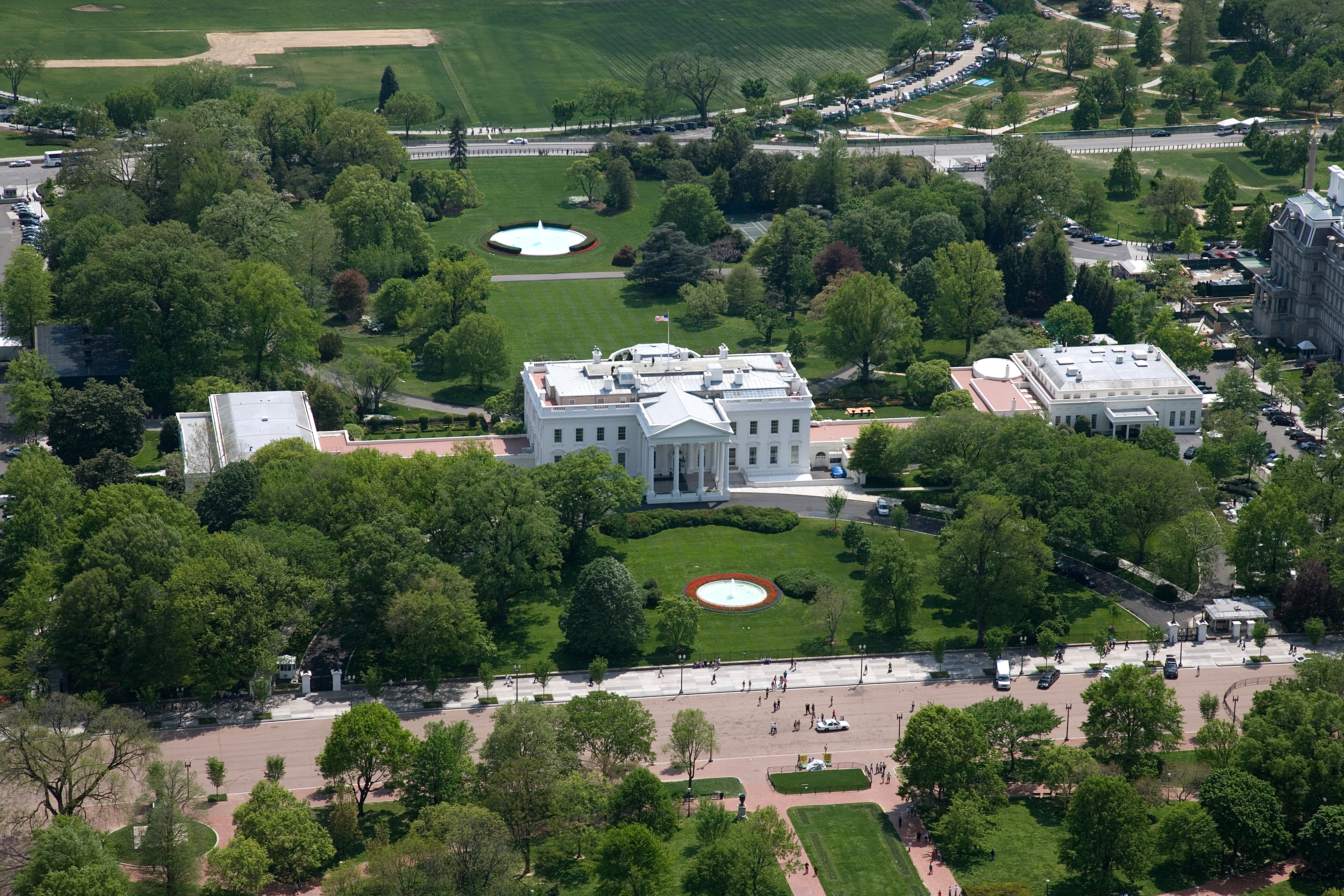
The White House is the official residence and workplace of the president of the United States. It is located at 1600 Pennsylvania Avenue Northwest, Washington, D.C., NW in Washington, D.C., and has been the residence of every U.S. president since John Adams in 1800. The term "White House" is often used as a metonym for the Executive Office of the President of the United States, president and his advisers. The residence was designed by Irish-born architect James Hoban in the Neoclassical architecture, neoclassical style. Hoban modelled the building on Leinster House in Dublin, a building which today houses the Oireachtas, the Irish legislature. Construction took place between 1792 and 1800, using Aquia Creek sandstone painted white. When Thomas Jefferson moved into the house in 1801, he (with architect Benjamin Henry Latrobe) added low colonnades on each wing that concealed stables and storage. In 1814, during the War of 1812, the mansion was set ablaze by British forces in ... [...More Info...] [...Related Items...] OR: [Wikipedia] [Google] [Baidu] |


