|
Mikir Hills
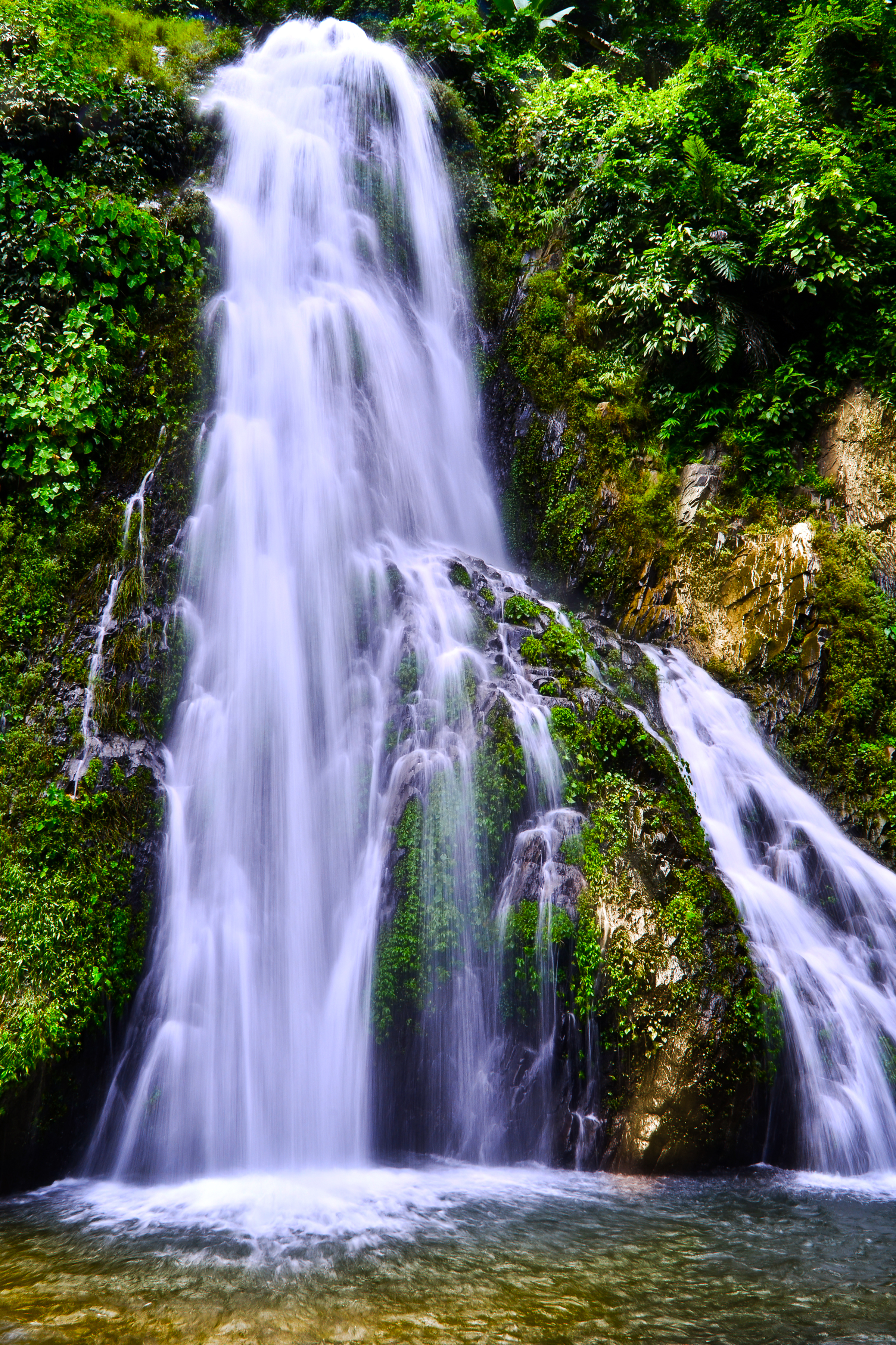
Mikir Hills are a group of hills located to the south of the Kaziranga National Park, Assam. The easternmost Meghalaya comprising the detached Mikir Hills is partly isolated being surrounded by three sidesKarbi plateauor Mikir Hills is known oldest landform in Assam. It is pear-shaped and has an area of about 7000 sq. km. It is part of the Karbi-Plateau. Its highest peak is Dambuchko. See also * Karbi Anglong district Karbi Anglong district is one of the 34 administrative districts of Assam in India. Diphu is the administrative headquarter of the district. The district is administered by Karbi Anglong Autonomous Council according to the Sixth Schedule of the C ... References Hills of Assam {{Assam-geo-stub ... [...More Info...] [...Related Items...] OR: [Wikipedia] [Google] [Baidu] |
Kaziranga National Park
Kaziranga National Park is a national park in the Golaghat and Nagaon districts of the state of Assam, India. The park, which hosts two-thirds of the world's great one-horned rhinoceroses, is a World Heritage Site. According to the census held in March 2018 which was jointly conducted by the Forest Department of the Government of Assam and some recognized wildlife NGOs, the rhino population in Kaziranga National Park is 2,613. It comprises 1,641 adult rhinos (642 males, 793 females, 206 unsexed); 387 sub-adults (116 males, 149 females, 122 unsexed); and 385 calves. In 2015, the rhino population stood at 2401. Kaziranga National Park was declared a Tiger Reserve in 2006. The park is home to large breeding populations of elephants, wild water buffalo, and swamp deer. Kaziranga is recognized as an Important Bird Area by BirdLife International for conservation of avifaunal species. When compared with other protected areas in India, Kaziranga has achieved notable success in wildlife ... [...More Info...] [...Related Items...] OR: [Wikipedia] [Google] [Baidu] |
Assam
Assam (; ) is a state in northeastern India, south of the eastern Himalayas along the Brahmaputra and Barak River valleys. Assam covers an area of . The state is bordered by Bhutan and Arunachal Pradesh to the north; Nagaland and Manipur to the east; Meghalaya, Tripura, Mizoram and Bangladesh to the south; and West Bengal to the west via the Siliguri Corridor, a wide strip of land that connects the state to the rest of India. Assamese and Boro are the official languages of Assam, while Bengali is an additional official language in the Barak Valley. Assam is known for Assam tea and Assam silk. The state was the first site for oil drilling in Asia. Assam is home to the one-horned Indian rhinoceros, along with the wild water buffalo, pygmy hog, tiger and various species of Asiatic birds, and provides one of the last wild habitats for the Asian elephant. The Assamese economy is aided by wildlife tourism to Kaziranga National Park and Manas National Park, which are ... [...More Info...] [...Related Items...] OR: [Wikipedia] [Google] [Baidu] |
Meghalaya
Meghalaya (, or , meaning "abode of clouds"; from Sanskrit , "cloud" + , "abode") is a states and union territories of India, state in northeastern India. Meghalaya was formed on 21 January 1972 by carving out two districts from the state of Assam: (a) the United Khasi Hills and Jaintia Hills and (b) the Garo Hills.History of Meghalaya State Government of India Meghalaya was previously part of Assam, but on 21 January 1972, the districts of Khasi, Garo and Jaintia Hills became the new state of Meghalaya. The population of Meghalaya as of 2014 is estimated to be 3,211,474. Meghalaya covers an area of approximately 22,430 square kilometres, with a length-to-breadth ratio of about 3:1.Meghal ... [...More Info...] [...Related Items...] OR: [Wikipedia] [Google] [Baidu] |
Karbi-Meghalaya Plateau
Karbi-Meghalaya plateau is, in fact, an extension of the main Indian peninsular plateau and are originally two different plateaus - Karbi Anglong Plateau and Meghalaya plateau. ThMeghalaya plateauis traditionally divided into Garo, Khasi and Jaintia Hills. The region from the river Dhansiri in the east to the Singimari River on the west is about 400 km long with an average width of about 40 km, covering about 35, 291 km2. Karbi Plateau is pear-shaped and has an area of about 7000 km2. Its link with the Meghalaya plateau proper is towards the south through a patch of highly denuded and subdued senile terrain. Details It is believed that due to the force exerted by the northeastward movement of the Indian plate at the time of the Himalayan origin, a huge fault was created between the Rajmahal hills The Rajmahal Hills are located in the Santhal Pargana division of Jharkhand, India. They were located on the northern margin of the Gondwana supercontinent, and its hills are tod ... [...More Info...] [...Related Items...] OR: [Wikipedia] [Google] [Baidu] |
Karbi Anglong District
Karbi Anglong district is one of the 34 administrative districts of Assam in India. Diphu is the administrative headquarter of the district. The district is administered by Karbi Anglong Autonomous Council according to the Sixth Schedule of the Constitution of India. Etymology The name "Karbi Anglong" is derived from Karbi language. The word ''Karbi'' is the name of indigenous tribe living in and around the region. The origin of the word ''Karbi'' is unknown. The tribe call themselves as Arleng, meaning "Humans." ''Anglong'' is homonym noun for Hills and Mountains. History Pre independence Prior to the pre-British rule in North East India, the territory of Karbi Anglong was never properly or scientifically demarcated; and it was also not a part of any properly established external government or kingdom. There could be some suppression and occupation here and there by their neighboring people groups or kingdoms, but there are no plausible historical evidences to support the cla ... [...More Info...] [...Related Items...] OR: [Wikipedia] [Google] [Baidu] |


