|
Meyers Fire
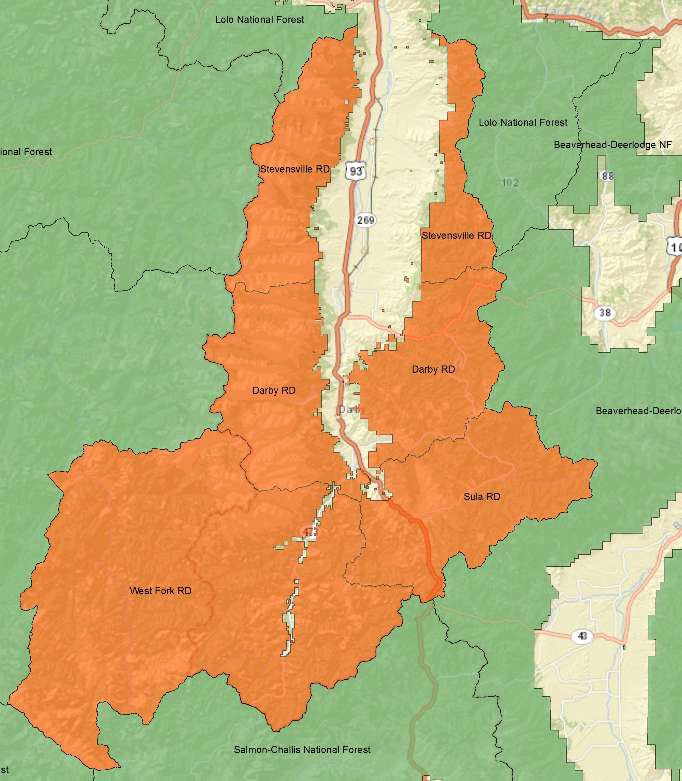
The Meyers Fire burned in Beaverhead-Deerlodge National Forest and Bitterroot National Forest in the U.S. state of Montana and was first reported on July 17, 2017 at 5:21pm. Located approximately southwest of Phillipsburg, Montana, the Meyers Fire is a natural fire that was caused by lightning. As of September 28, 2017, it encompassed . The Meyers Fire originated after a lightning storm passed over the region, starting a fire in remote terrain in Granite County, Montana within Beaverhead-Deerlodge National Forest. The fire then burned into neighboring Ravalli County, Montana and then crossed the continental divide A continental divide is a drainage divide on a continent such that the drainage basin on one side of the divide feeds into one ocean or sea, and the basin on the other side either feeds into a different ocean or sea, or else is endorheic, not ... into Beaverhead County, Montana and Deer Lodge County, Montana, where it entered Bitterroot National Forest. By ... [...More Info...] [...Related Items...] OR: [Wikipedia] [Google] [Baidu] |
Bitterroot National Forest
Bitterroot National Forest comprises 1.587 million acres (6,423 km²) in west-central Montana and eastern Idaho, of the United States. It is located primarily in Ravalli County, Montana (70.26% of the forest), but also has acreage in Idaho County, Idaho (29.24%), and Missoula County, Montana (0.49%). Founded in 1898, the forest is located in the Bitterroot and Sapphire Mountains with elevations ranging from 2,200 feet (650 m) along the Salmon River in Idaho to 10,157 foot (3,100 m) Trapper Peak. Roughly half the forest (743,000 acres, 3,000 km²) make up part or all of three distinct Wilderness areas. These areas include the Anaconda-Pintler, Selway-Bitterroot and Frank Church River of No Return Wildernesses. The distinction is that in wilderness areas, no roads, logging, mining or other construction is permitted and all access must be done either on foot or horseback; even bicycles are not permitted. Hunting, however is allowed forest-wide including wilderness are ... [...More Info...] [...Related Items...] OR: [Wikipedia] [Google] [Baidu] |
Phillipsburg, Montana
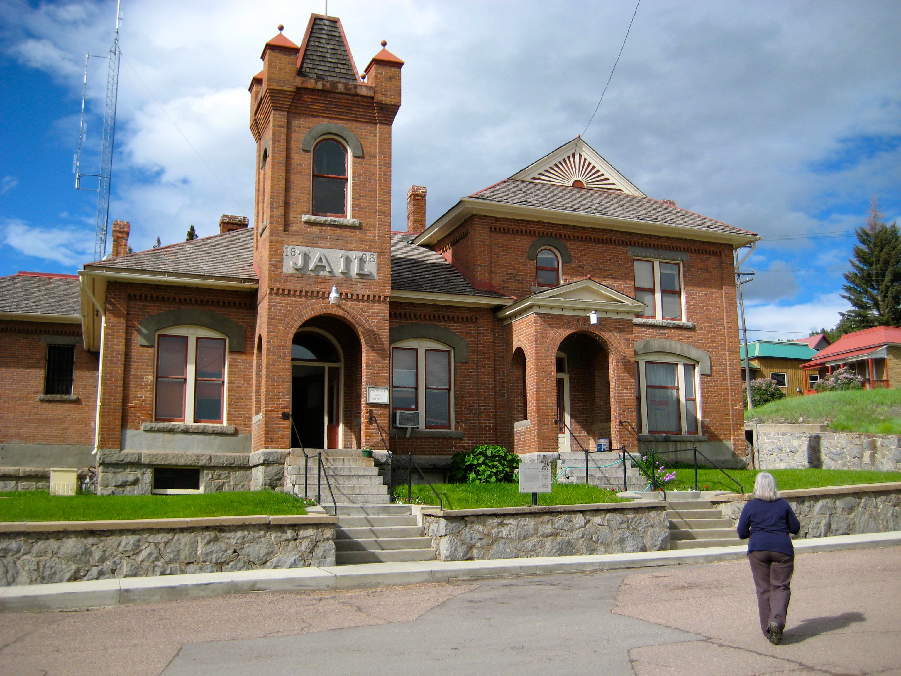
Philipsburg is a town in and the county seat of Granite County, Montana, Granite County, Montana, United States. The population was 841 at the 2020 United States Census, 2020 census. The town was named after the famous mining engineer Philip Deidesheimer, who designed and supervised the construction of the ore smelter around which the town originally formed. He platted the townsite in 1867. Geography Philipsburg is located at (46.333108, -113.296564). Montana Highway 1 passes through town. Granite Ghost Town State Park is nearby. According to the United States Census Bureau, the town has a total area of , all land. Demographics 2010 census As of the census of 2010, there were 820 people, 413 households, and 217 families residing in the town. The population density was . There were 547 housing units at an average density of . The racial makeup of the town was 96.8% White (U.S. Census), White, 0.1% African American (U.S. Census), African American, 0.9% Native American (U.S. Cens ... [...More Info...] [...Related Items...] OR: [Wikipedia] [Google] [Baidu] |
Granite County, Montana
Granite County is a county located in the U.S. state of Montana. As of the 2020 census, the population was 3,309. Its county seat is Philipsburg. The county was founded in 1893, and was named for a mountain which contains the Granite Mountain silver mine. Geography According to the United States Census Bureau, the county has a total area of , of which is land and (0.3%) is water. Major highways * Interstate 90 * U.S. Highway 10 (Former) * U.S. Highway 12 * Montana Highway 1 * Montana Highway 38 Adjacent counties * Missoula County - north * Powell County - east * Deer Lodge County - south * Ravalli County - west National protected areas * Deerlodge National Forest (part) * Lolo National Forest (part) Politics Demographics 2000 census As of the 2000 United States census, there were 2,830 people, 1,200 households, and 784 families living in the county. The population density was 2 people per square mile (1/km2). There were 2,07 ... [...More Info...] [...Related Items...] OR: [Wikipedia] [Google] [Baidu] |
Ravalli County, Montana
Ravalli County is a county in the southwestern part of the U.S. state of Montana. As of the 2020 census, the population was 44,174. Its county seat is Hamilton. Ravalli County is part of a north–south mountain valley bordered by the Sapphire Mountains on the East and the Bitterroot Mountains on the West. It is often referred to as the Bitterroot Valley, which is named for the Bitterroot Flower. The county is on the Pacific Ocean side of the Continental Divide, which follows the Idaho-Montana border from Wyoming until Ravalli County. Here, it turns east into Montana, between Chief Joseph Pass and Lost Trail Pass, and follows the Ravalli County-Beaverhead County border. History Ravalli County was once home to the Bitterroot Salish tribe. The tribe was first encountered in 1805 by the Lewis and Clark Expedition, which noted their friendly nature. The Catholic Church took an interest in creating a mission in the area, and in 1841 founded St. Mary's Mission, subsequently rena ... [...More Info...] [...Related Items...] OR: [Wikipedia] [Google] [Baidu] |
Continental Divide Of The Americas
The Continental Divide of the Americas (also known as the Great Divide, the Western Divide or simply the Continental Divide; ) is the principal, and largely mountainous, hydrological divide of the Americas. The Continental Divide extends from the Bering Strait to the Strait of Magellan, and separates the watersheds that drain into the Pacific Ocean from those river systems that drain into the Atlantic and (in northern North America) Arctic oceans (including those that drain into the Gulf of Mexico, the Caribbean Sea and Hudson Bay). Although there are many other hydrological divides in the Americas, the Continental Divide is by far the most prominent of these because it tends to follow a line of high peaks along the main ranges of the Rocky Mountains and Andes, at a generally much higher elevation than the other hydrological divisions. Geography Beginning at the westernmost point of the Americas’ mainland (Cape Prince of Wales, just south of the Arctic Circle), the Conti ... [...More Info...] [...Related Items...] OR: [Wikipedia] [Google] [Baidu] |
Beaverhead County, Montana
Beaverhead County is the largest county by area in the U.S. state of Montana. As of the 2020 census, the population was 9,371. Its county seat is Dillon. The county was founded in 1865. Much of the perimeter of the county is the Continental Divide, including its entire border with the state of Idaho. The divide heads east into Montana at the county border with Ravalli County, between Lost Trail Pass and Chief Joseph Pass. History The county name is derived from a rock formation, which the Shoshone described as being shaped like a beaver's head. The original county seat was the gold-mining town of Bannack. In 1881 it was moved to Dillon. Geography According to the United States Census Bureau, the county has a total area of , of which is land and (0.3%) is water. It is the largest county in Montana by area. Beaverhead impact structure is in the area. The Big Hole River (formerly called Wisdom River) runs through the county. Adjacent counties * Ravalli County - northwest * ... [...More Info...] [...Related Items...] OR: [Wikipedia] [Google] [Baidu] |
Deer Lodge County, Montana
Deer Lodge County is a County (United States), county in the U.S. state of Montana. As of the 2020 United States census, 2020 census, the population was 9,421. It forms a consolidated city-county government with its county seat of Anaconda, Montana, Anaconda. The county was established in 1865. History Deer Lodge was one of the original 9 Montana counties, as constituted with the establishment of Montana Territory in 1864. The original county included what are now Silver Bow County (separated in 1881), Deer Lodge County, Granite County (separated in 1893) and Powell County (separated in 1901). Geography According to the United States Census Bureau, the county has an area of , of which is land and (0.6%) is water. It is the second-smallest county in Montana by area. The county has a wealth of natural amenities, such as the Anaconda Mountain Range, Georgetown Lake, and the Mount Haggin wildlife management area (Montana's largest at 54,000 acres). Major highways * Interstat ... [...More Info...] [...Related Items...] OR: [Wikipedia] [Google] [Baidu] |
2017 In Montana
Seventeen or 17 may refer to: *17 (number), the natural number following 16 and preceding 18 * one of the years 17 BC, AD 17, 1917, 2017 Literature Magazines * ''Seventeen'' (American magazine), an American magazine * ''Seventeen'' (Japanese magazine), a Japanese magazine Novels * ''Seventeen'' (Tarkington novel), a 1916 novel by Booth Tarkington *''Seventeen'' (''Sebuntiin''), a 1961 novel by Kenzaburō Ōe * ''Seventeen'' (Serafin novel), a 2004 novel by Shan Serafin Stage and screen Film * ''Seventeen'' (1916 film), an American silent comedy film *''Number Seventeen'', a 1932 film directed by Alfred Hitchcock * ''Seventeen'' (1940 film), an American comedy film *'' Eric Soya's '17''' (Danish: ''Sytten''), a 1965 Danish comedy film * ''Seventeen'' (1985 film), a documentary film * ''17 Again'' (film), a 2009 film whose working title was ''17'' * ''Seventeen'' (2019 film), a Spanish drama film Television * ''Seventeen'' (TV drama), a 1994 UK dramatic short starring Christ ... [...More Info...] [...Related Items...] OR: [Wikipedia] [Google] [Baidu] |


