|
Mexican Federal Highway 14D
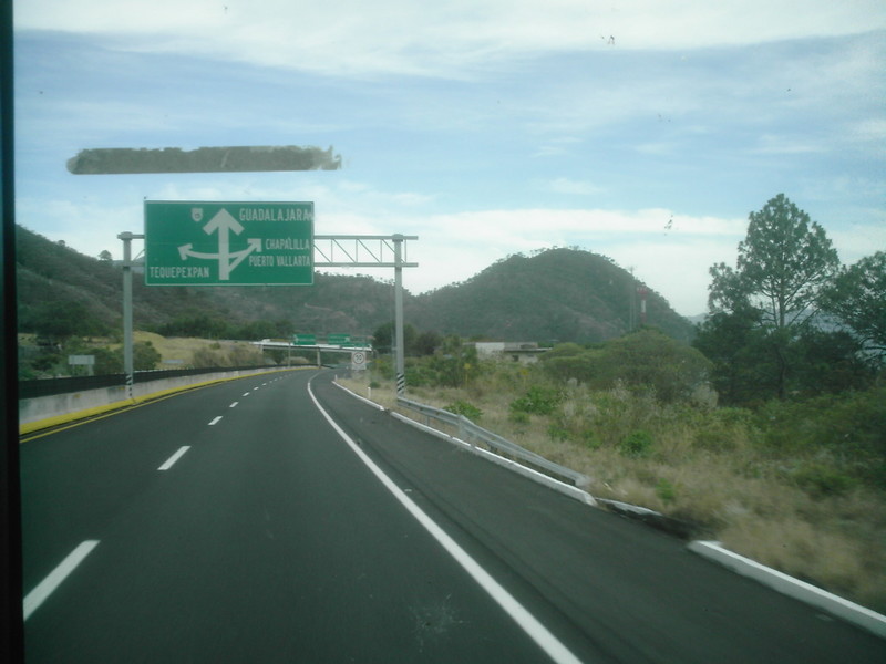
Federal Highway 14D is a toll highway in the state of Michoacán. It connects Highway 15D at Cuitzeo to 37D and Uruapan via the city of Pátzcuaro. The road is operated by Autopistas de Michoacán, which charges cars 171 pesos to travel Highway 14D from Cuitzeo to Uruapan and 478 pesos when combined with Highway 37D to Lázaro Cárdenas. Highway 14D from Pátzcuaro southwest, along with Highway 37D, are together referred to as the ''Autopista Siglo XXI''. History The segment from Cuitzeo to Pátzcuaro, bypassing the major city of Morelia, was formally opened by President Enrique Peña Nieto Enrique Peña Nieto (; born 20 July 1966), commonly referred to by his initials EPN, is a Mexican politician who served as the 64th president of Mexico from 1 December 2012 to 30 November 2018. A member of the Institutional Revolutionary Party ... on October 20, 2016, after construction had started in 2012 and six months after opening to traffic on April 14. The concession for this se ... [...More Info...] [...Related Items...] OR: [Wikipedia] [Google] [Baidu] |
Toll Highway
A toll road, also known as a turnpike or tollway, is a public or private road (almost always a controlled-access highway in the present day) for which a fee (or ''toll'') is assessed for passage. It is a form of road pricing typically implemented to help recoup the costs of road construction and maintenance. Toll roads have existed in some form since antiquity, with tolls levied on passing travelers on foot, wagon, or horseback; a practice that continued with the automobile, and many modern tollways charge fees for motor vehicles exclusively. The amount of the toll usually varies by vehicle type, weight, or number of axles, with freight trucks often charged higher rates than cars. Tolls are often collected at toll plazas, toll booths, toll houses, toll stations, toll bars, toll barriers, or toll gates. Some toll collection points are automatic, and the user deposits money in a machine which opens the gate once the correct toll has been paid. To cut costs and minimise time delay, ... [...More Info...] [...Related Items...] OR: [Wikipedia] [Google] [Baidu] |
Michoacán
Michoacán, formally Michoacán de Ocampo (; Purépecha: ), officially the Free and Sovereign State of Michoacán de Ocampo ( es, Estado Libre y Soberano de Michoacán de Ocampo), is one of the 32 states which comprise the Federal Entities of Mexico. The state is divided into 113 municipalities and its capital city is Morelia (formerly called Valladolid). The city was named after José María Morelos, a native of the city and one of the main heroes of the Mexican War of Independence. Michoacán is located in Western Mexico, and has a stretch of coastline on the Pacific Ocean to the southwest. It is bordered by the states of Colima and Jalisco to the west and northwest, Guanajuato to the north, Querétaro to the northeast, the State of México to the east, and Guerrero to the southeast. The name Michoacán is from Nahuatl: ''Michhuahcān'' from ''michhuah'' ("possessor of fish") and -''cān'' (place of) and means "place of the fishermen" referring to those who fish on La ... [...More Info...] [...Related Items...] OR: [Wikipedia] [Google] [Baidu] |
Mexican Federal Highway 15D
Federal Highway 15D (Carretera Federal 15D) is the name for toll highways paralleling Federal Highway 15. The toll segments of Highway 15D include some of the most significant highways in the country along the Nogales-Mexico City corridor. The highway is the southern terminus of the CANAMEX Corridor, a trade corridor that stretches from Mexico north across the United States to the Canadian province of Alberta. Two segments of Federal Highway 15D (México-La Marquesa and Guadalajara-Tepic) are among the top five most expensive toll roads in Mexico, according to a 2016 analysis by Carmatch. Sonora Estación Don-Nogales and bypasses With of length, Highway 15D's segment in Sonora, formerly known as Estación Don-Nogales, runs the length of the state of Sonora and includes access to most of the state's major population centers. It is maintained by Caminos y Puentes Federales, which charges cars 340 pesos to travel the length of the road, including its four bypasses of Nogales () ... [...More Info...] [...Related Items...] OR: [Wikipedia] [Google] [Baidu] |
Cuitzeo
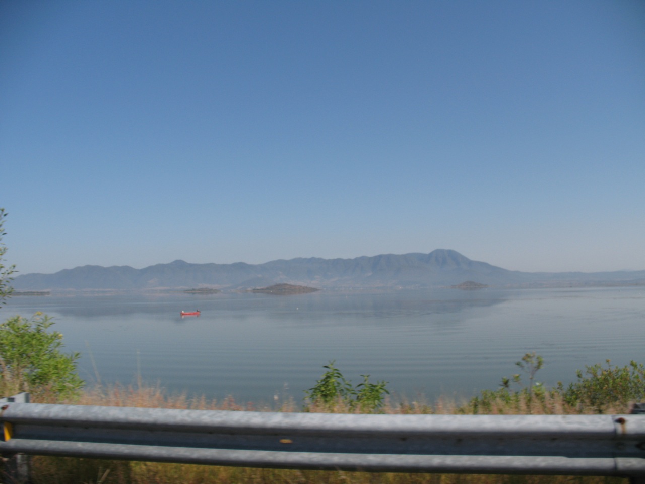
Cuitzeo () is a municipality located in the north of the Mexican state of Michoacán. The municipal seat is the town of Cuitzeo del Porvenir It is located in a relatively flat depression around Lake Cuitzeo, a large, very shallow lake, which is in danger of disappearing. The town was officially founded in 1550, with the founding of a large Augustinian monastery, which still stands. Today, the town is the seat of a rural municipality, providing local government to surrounding communities. The Town of Cuitzeo del Porvenir The town of Cuitzeo is located just over thirty km north of Morelia, on the north shore of Lake Cuitzeo. It is a quiet, rural town, with narrow streets and buildings of white facades with thatched or tile roofs. The streets are mostly traveled by people and pack animals and most of the ambient noise comes from birds in overhead trees, especially in the main plaza. Its main activities are agriculture, livestock, commerce and fishing with a population of 8,760 (2010 ... [...More Info...] [...Related Items...] OR: [Wikipedia] [Google] [Baidu] |
Mexican Federal Highway 37D
Federal Highway 37D is a Mexican toll highway in Michoacán and Guerrero. It connects Highway 14D at Uruapan to Lázaro Cárdenas Lázaro Cárdenas del Río (; 21 May 1895 – 19 October 1970) was a Mexican army officer and politician who served as president of Mexico from 1934 to 1940. Born in Jiquilpan, Michoacán, to a working-class family, Cárdenas joined the M .... The road is operated by Autopistas Michoacán, which charges a toll of 307 pesos per car to travel the full length of Highway 37D. Highway 14D from Pátzcuaro southwest, along with the entirety of Highway 37D, are together referred to as the ''Autopista Siglo XXI''. References External linksAutopistas Michoacán website Mexican Federal Highways {{Mexico-road-stub ... [...More Info...] [...Related Items...] OR: [Wikipedia] [Google] [Baidu] |
Uruapan
Uruapan is the second largest city in the Mexico, Mexican state of Michoacán. It is located at the western edge of the Tarascan Plateau, Purépecha highlands, just to the east of the Tierra Caliente (Mexico), Tierra Caliente region. Since the colonial period, it has been an important city economically due its location. The city was conquered by the Spanish in 1522, when the last Purépecha ruler fled the Pátzcuaro area to here. The modern city was laid out in 1534 by Friar Juan de San Miguel. It played an important role in the Mexican War of Independence, War of Independence, and was the capital of Michoacán during the Second French intervention in Mexico, French Intervention. Today it is the center of Mexico's avocado growing region, with most of the crop distributed from here nationally and internationally. The city With a population of over 356,700, the city is the second most populous and the second in economic importance in the state of Michoacán. The city is located at ... [...More Info...] [...Related Items...] OR: [Wikipedia] [Google] [Baidu] |
Pátzcuaro
Pátzcuaro () is a city and municipality located in the state of Michoacán. The town was founded sometime in the 1320s, at first becoming the capital of the Purépecha Empire and later its ceremonial center. After the Spanish took over, Vasco de Quiroga worked to make Pátzcuaro the capital of the New Spain province of Michoacán, but after his death, the capital would be moved to nearby Valladolid (today Morelia). Pátzcuaro has retained its colonial and indigenous character since then, and it has been named one of the 111 "Pueblos Mágicos" by the government of Mexico. Pátzcuaro, and the lake region to which it belongs, is well known as a site for Day of the Dead celebrations. There are several possibilities as to the meaning of "Pátzcuaro." The first is "phascuaro," which means "place dyed in black;" or "patatzecuaro," which means "place of foundations." Another possible meaning is "petatzimícuaro," "place of bullrushes." Other possible meanings are: " happy place;" and "s ... [...More Info...] [...Related Items...] OR: [Wikipedia] [Google] [Baidu] |
Lázaro Cárdenas, Michoacán
Lázaro Cárdenas () is a port city in Michoacán bordered to the east by Guerrero. Lázaro Cárdenas is located in the southern part of the Mexican state of Michoacán. It was formerly known as Los Llanitos, but changed its name as a tribute to Lázaro Cárdenas del Río, a Michoacán-born politician who was president of Mexico from 1934 to 1940. The city's coordinates are , where the Río Balsas drains into the Pacific Ocean. In the 2005 census, the city's population was 74,884. It is served by Lázaro Cárdenas Airport. The municipality of Lázaro Cárdenas, which has an area of , had a total population of 162,997 in 2005, and includes the metropolitan area of city, which includes the communities of Las Guacamayas, La Orilla, and La Mira y Guacamayas. History When known as Los Llanitos, it formed part of the municipality of Arteaga. In 1932 it was given town status and named Melchor Ocampo, after politician Melchor Ocampo. On April 12, 1937, during the governorship of José ... [...More Info...] [...Related Items...] OR: [Wikipedia] [Google] [Baidu] |
Morelia
Morelia (; from 1545 to 1828 known as Valladolid) is a city and municipal seat of the municipality of Morelia in the north-central part of the state of Michoacán in central Mexico. The city is in the Guayangareo Valley and is the capital and largest city of the state. The main pre-Hispanic cultures here were the Purépecha and the Matlatzinca, but no major cities were founded in the valley during this time. The Spanish took control of the area in the 1520s. The Spanish under Viceroy Antonio de Mendoza founded a settlement here in 1541 with the name of Valladolid, which became rival to the nearby city of Pátzcuaro for dominance in Michoacán. In 1580, this rivalry ended in Valladolid's favor and it became the capital of the viceregal province. After the Mexican War of Independence, the city was renamed Morelia in honor of José María Morelos, who hailed from the city. In 1991, the city was declared a UNESCO World Heritage Site for its well-preserved historical buildings and layo ... [...More Info...] [...Related Items...] OR: [Wikipedia] [Google] [Baidu] |
Enrique Peña Nieto
Enrique Peña Nieto (; born 20 July 1966), commonly referred to by his initials EPN, is a Mexican politician who served as the 64th president of Mexico from 1 December 2012 to 30 November 2018. A member of the Institutional Revolutionary Party (PRI), he previously served as Governor of the State of Mexico from 2005 to 2011, local deputy from 2003 to 2004, and Secretary of Administration from 2000 to 2002. Born in Atlacomulco and raised in Toluca, Peña Nieto attended Panamerican University, graduating with a B.A. in legal studies. After attaining a MBA from ITESM, he began his political career by joining the Institutional Revolutionary Party (PRI) in 1984. After serving as a public notary in Mexico City, he began an ascent through local political ranks in the late 1990s, culminating in his 2005 campaign for Governor of the State of Mexico. As governor, he pledged to deliver 608 ''compromisos'' (commitments) to his constituency to varying levels of success. His tenure was mar ... [...More Info...] [...Related Items...] OR: [Wikipedia] [Google] [Baidu] |


.jpg)