|
McKeldin Square
McKeldin Square is an area of Downtown Baltimore, located near the Inner Harbor at the corners of Pratt and Light Streets. The central area is a polygon of brick. On the Pratt St. side there is a strip of grass; behind the brick there used to be a pool at the base of a multi-leveled concrete structure with walkways and fountains; however, this fountain structure was removed in 2016. The location of the square puts it right in the middle of Baltimore's 1861 riots, during which locals turned on a Union regiment that was passing through the city. McKeldin Square has been designated as Baltimore's zone for protests, where it is legal to exercise one's First Amendment rights and pass out pamphlets. Permits are required for groups with groups of 25 or more requiring a permit. On October 4, 2011, it became the location of the Occupy Baltimore Occupy Baltimore was a collaboration that included peaceful protests and demonstrations. Occupy Baltimore began on October 4, 2011, in B ... [...More Info...] [...Related Items...] OR: [Wikipedia] [Google] [Baidu] |
Downtown Baltimore
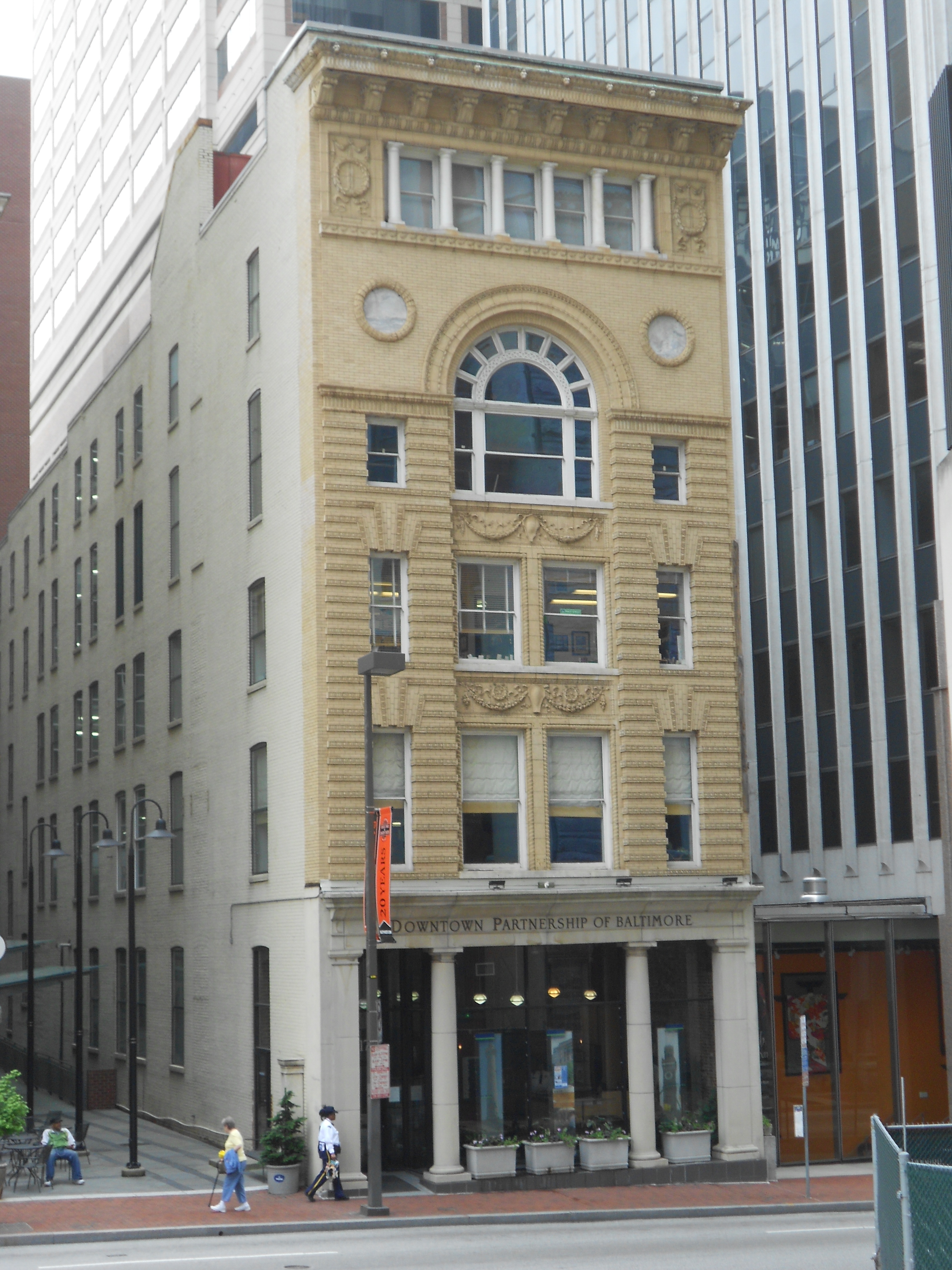
Downtown Baltimore is the central business district of the city of Baltimore traditionally bounded by Martin Luther King, Jr. Boulevard to the west, Franklin Street to the north, President Street to the east and the Inner Harbor area to the south. In 1904, downtown Baltimore was almost destroyed by a huge fire with damages estimated at $150 million. Since the City of Baltimore was chartered in 1796, this downtown nucleus has been the focal point of business in the Baltimore metropolitan area. It has also increasingly become a heavily populated neighborhood with over 37,000 residents and new condominiums and apartment homes being built steadily. Geography City Center is the historic financial district in Baltimore that has increasingly shifted eastward and into the Inner Harbor. Hundreds of businesses are found here, and it remains the center of life in Baltimore. The area is home to the majority of Baltimore's skyscrapers including the Bank of America building, the M&T ... [...More Info...] [...Related Items...] OR: [Wikipedia] [Google] [Baidu] |
Inner Harbor
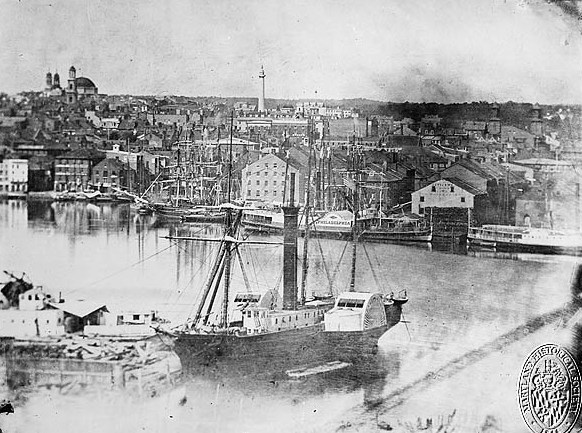
The Inner Harbor is a historic seaport, tourist attraction, and landmark of the city of Baltimore, Maryland. It was described by the Urban Land Institute in 2009 as "the model for post-industrial waterfront redevelopment around the world". The Inner Harbor is located at the mouth of Jones Falls, creating the wide and short northwest branch of the Patapsco River. The district includes any water west of a line drawn between the foot of President Street and the American Visionary Art Museum. The name "Inner Harbor" is used not just for the water but for the surrounding area of the city, with approximate street boundaries of President Street to the east, Lombard Street to the north, Greene Street to the west, and Key Highway on the south. The harbor is within walking distance of Oriole Park at Camden Yards and M&T Bank Stadium. A water taxi connects passengers to Fells Point, Canton, and Fort McHenry. History While Baltimore has been a major U.S. seaport since the 18th cent ... [...More Info...] [...Related Items...] OR: [Wikipedia] [Google] [Baidu] |
Pratt Street
Pratt Street is a major street in Baltimore, Maryland, United States. It forms a one-way pair of streets with Lombard Street that run west–east through downtown Baltimore. For most of their route, Pratt Street is one-way in an eastbound direction, and Lombard Street is one way westbound. Both streets begin in west Baltimore at Frederick Avenue and end in Butcher's Hill at Patterson Park Avenue. Since 2005, these streets have been open to two-way traffic from Broadway until their end at Patterson Park. Although Lombard is also a two-way street from Fulton Avenue to Martin Luther King Jr. Boulevard, Pratt is still one-way eastbound in this area. To the east of Patterson Park, both Pratt and Lombard Streets start again. Pratt continues as a side street from Linwood Avenue until Haven Street. Pratt Street has historic significance as the location of the Baltimore Riot of 1861 The Baltimore riot of 1861 (also called the "Pratt Street Riots" and the "Pratt Street Massacre") ... [...More Info...] [...Related Items...] OR: [Wikipedia] [Google] [Baidu] |
Light Street
Maryland Route 2 (MD 2) is the longest state highway in the U.S. state of Maryland. The route runs from Solomons Island in Calvert County north to an intersection with U.S. Route 1 (US 1)/ US 40 Truck ( North Avenue) in Baltimore. The route runs concurrent with MD 4 through much of Calvert County along a four-lane divided highway known as Solomons Island Road, passing through rural areas as well as the communities of Lusby, Port Republic, Prince Frederick, and Huntingtown. In Sunderland, MD 2 splits from MD 4 and continues north as two-lane undivided Solomons Island Road into Anne Arundel County, still passing through rural areas. Upon reaching Annapolis, the route runs concurrent with US 50/US 301 to the north the city. Between Annapolis and Baltimore, MD 2 runs along the Governor Ritchie Highway (also known as the Ritchie Highway), a multilane divided highway that heads through suburban areas, passing through Arnold, Severna Park, Pasadena, Glen Burnie, and Brookl ... [...More Info...] [...Related Items...] OR: [Wikipedia] [Google] [Baidu] |
Baltimore Riot Of 1861
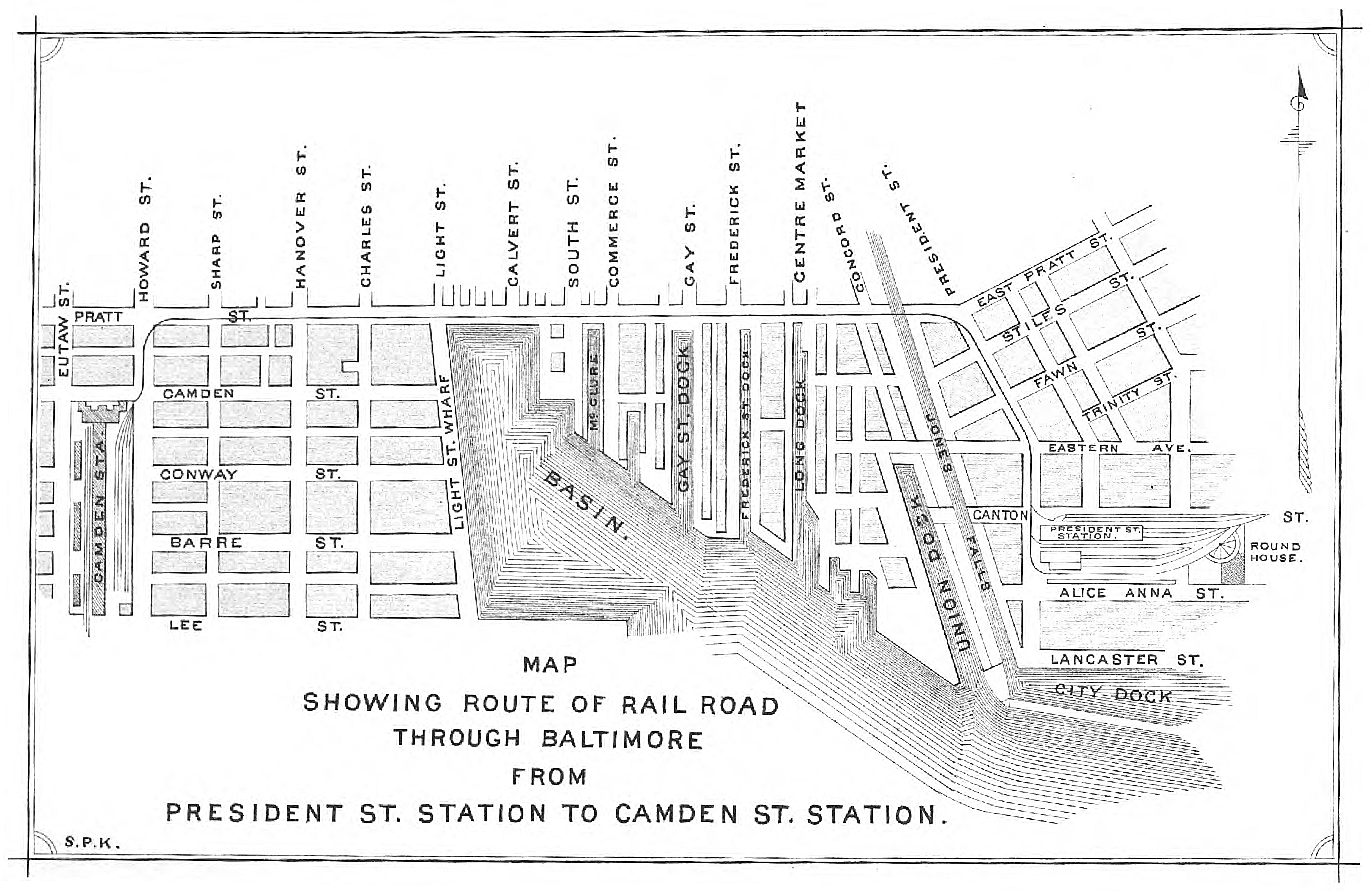
The Baltimore riot of 1861 (also called the "Pratt Street Riots" and the "Pratt Street Massacre") was a civil conflict on Friday, April 19, 1861, on Pratt Street, in Baltimore, Maryland. It occurred between antiwar "Copperhead" Democrats (the largest party in Maryland) and other Southern/Confederate sympathizers on one side, and on the other, members of Massachusetts and Pennsylvania state militia regiments en route to the national capital at Washington who had been called up for federal service. The fighting began at the President Street Station, spreading throughout President Street and subsequently to Howard Street, where it ended at the Camden Street Station. The riot produced the first deaths by hostile action in the American Civil War and is often called the "first bloodshed of the Civil War". Background In 1861, most Baltimoreans did not support a violent conflict with their southern neighbors, and some of them strongly sympathized with the Southern cause. In the prev ... [...More Info...] [...Related Items...] OR: [Wikipedia] [Google] [Baidu] |
First Amendment To The United States Constitution
The First Amendment (Amendment I) to the United States Constitution prevents the government from making laws that regulate an establishment of religion, or that prohibit the free exercise of religion, or abridge the freedom of speech, the freedom of the press, the freedom of assembly, or the right to petition the government for redress of grievances. It was adopted on December 15, 1791, as one of the ten amendments that constitute the Bill of Rights. The Bill of Rights was proposed to assuage Anti-Federalist opposition to Constitutional ratification. Initially, the First Amendment applied only to laws enacted by the Congress, and many of its provisions were interpreted more narrowly than they are today. Beginning with ''Gitlow v. New York'' (1925), the Supreme Court applied the First Amendment to states—a process known as incorporation—through the Due Process Clause of the Fourteenth Amendment. In '' Everson v. Board of Education'' (1947), the Court drew on Thomas ... [...More Info...] [...Related Items...] OR: [Wikipedia] [Google] [Baidu] |
Occupy Baltimore
Occupy Baltimore was a collaboration that included peaceful protests and demonstrations. Occupy Baltimore began on October 4, 2011, in Baltimore, Maryland, in McKeldin Square near the Inner Harbor area of Downtown Baltimore. It is one of the many Occupy movements around the United States and worldwide, inspired by Occupy Wall Street. The protesters were evicted from McKeldin Square on December 13, 2011. Origin The occupation of McKeldin Square began on October 4, 2011. This came after a meeting held on October 2 by 150 people at a different location. Those holding the meeting requested that a Baltimore Sun reporter leave. Messages Organizers from the beginning did not have a single ideology. Various messages have been voiced by protesters. These include: * Shortages of jobs * Frustrations over the economy * Demands for greater public input in urban planning. * Student loans that are difficult to pay off. On November 20, 2011, the Occupy Baltimore general assembly approved ... [...More Info...] [...Related Items...] OR: [Wikipedia] [Google] [Baidu] |
Geography Of Baltimore
Baltimore ( , locally: or ) is the List of municipalities in Maryland, most populous city in the U.S. state of Maryland, fourth most populous city in the Mid-Atlantic (United States), Mid-Atlantic, and List of United States cities by population, the 30th most populous city in the United States with a population of 585,708 in 2020. Baltimore was designated an Independent city (United States), independent city by the Constitution of Maryland in 1851, and today is the most populous independent city in the United States. As of 2021, the population of the Baltimore metropolitan area was estimated to be 2,838,327, making it the List of metropolitan areas of the United States, 20th largest metropolitan area in the country. Baltimore is located about north northeast of Washington, D.C., making it a principal city in the Washington–Baltimore combined statistical area, Washington–Baltimore combined statistical area (CSA), the third-largest combined statistical area, CSA in the nat ... [...More Info...] [...Related Items...] OR: [Wikipedia] [Google] [Baidu] |


